
Mills County Rolled Sketch 7
2025
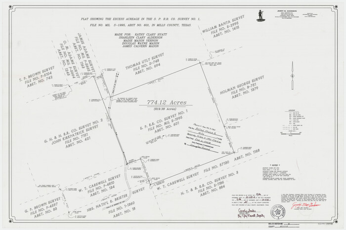
Mills County Rolled Sketch 6
2007

Mills County Working Sketch 28
2006
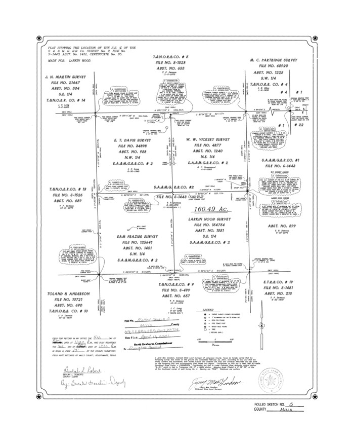
Mills County Rolled Sketch 5
2001
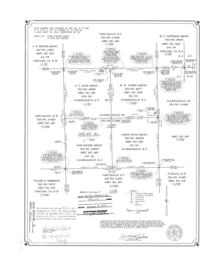
Mills County Rolled Sketch 4
2000
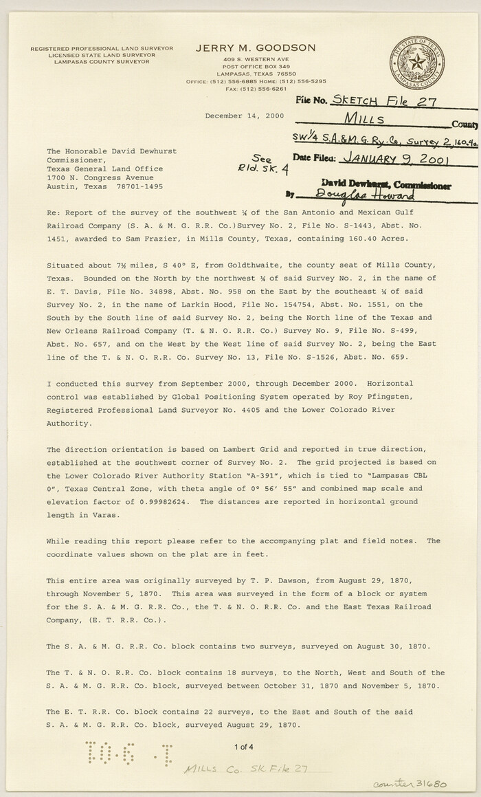
Mills County Sketch File 27
2000
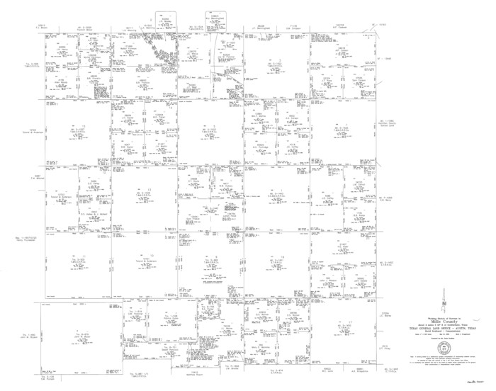
Mills County Working Sketch 27
2000

Mills County Sketch File 28
2000
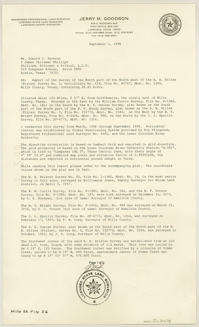
Mills County Sketch File 26
1998
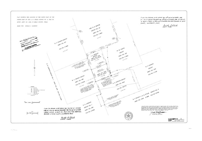
Mills County Rolled Sketch 3
1998
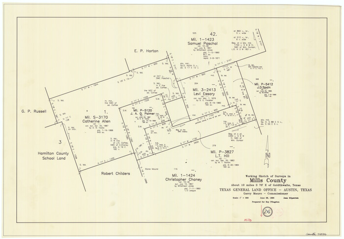
Mills County Working Sketch 26
1993

Hamilton County Working Sketch 32
1993

Mills County Working Sketch 25
1988
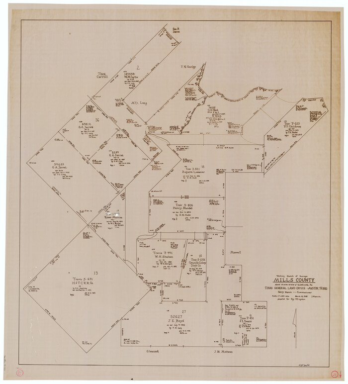
Mills County Working Sketch 24
1988

Mills County Working Sketch 23
1985
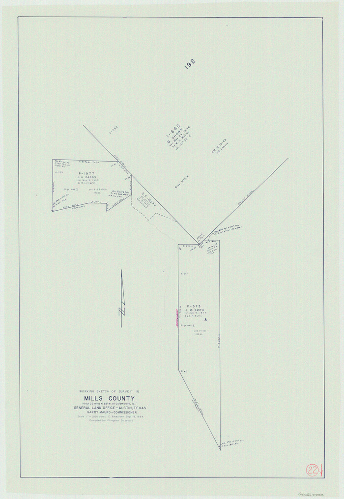
Mills County Working Sketch 22
1984
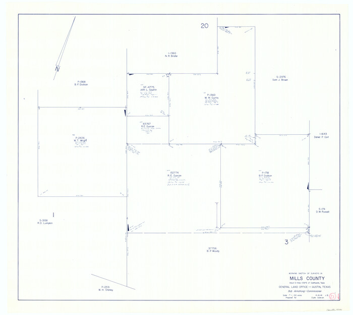
Mills County Working Sketch 21
1981

Mills County Working Sketch Graphic Index
1976

Mills County Rolled Sketch 2
1974
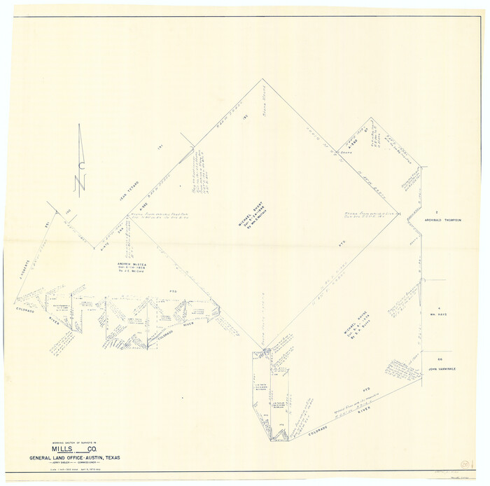
Mills County Working Sketch 20
1970
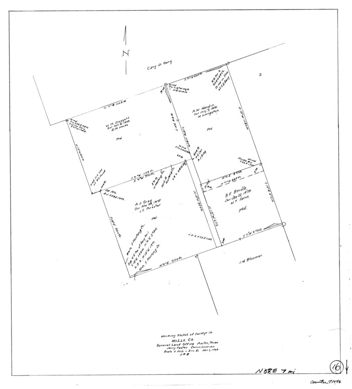
Mills County Working Sketch 16
1963
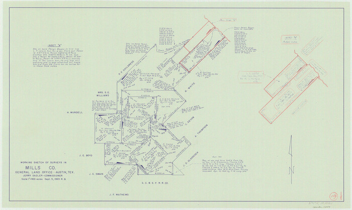
Mills County Working Sketch 19
1963

Mills County Working Sketch 18
1963

Mills County Working Sketch 17
1963
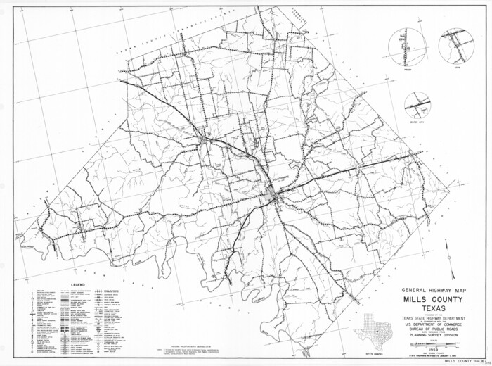
General Highway Map, Mills County, Texas
1961
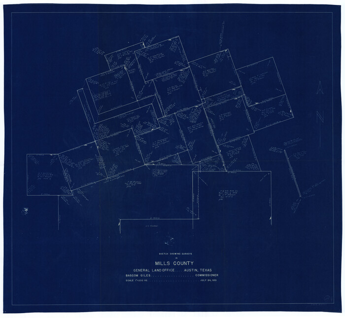
Mills County Working Sketch 15
1951

Mills County Sketch File 29
2025
-
Map/Doc
97454
-
Creation Date
2025

Mills County Rolled Sketch 7
2025
-
Size
23.7 x 29.8 inches
-
Map/Doc
97434
-
Creation Date
2025

Mills County Rolled Sketch 6
2007
-
Size
24.4 x 36.6 inches
-
Map/Doc
88738
-
Creation Date
2007

Mills County Working Sketch 28
2006
-
Size
42.0 x 67.4 inches
-
Map/Doc
85385
-
Creation Date
2006

Mills County Rolled Sketch 5
2001
-
Size
27.1 x 21.6 inches
-
Map/Doc
6783
-
Creation Date
2001

Mills County Rolled Sketch 4
2000
-
Size
26.6 x 21.6 inches
-
Map/Doc
6782
-
Creation Date
2000

Mills County Sketch File 27
2000
-
Size
14.4 x 8.7 inches
-
Map/Doc
31680
-
Creation Date
2000

Mills County Working Sketch 27
2000
-
Size
37.3 x 47.3 inches
-
Map/Doc
71057
-
Creation Date
2000

Mills County Sketch File 28
2000
-
Size
14.3 x 8.7 inches
-
Map/Doc
31684
-
Creation Date
2000

Mills County Sketch File 26
1998
-
Size
14.3 x 8.8 inches
-
Map/Doc
31678
-
Creation Date
1998

Mills County Rolled Sketch 3
1998
-
Size
26.4 x 37.9 inches
-
Map/Doc
6781
-
Creation Date
1998

Mills County Working Sketch 26
1993
-
Size
18.2 x 26.2 inches
-
Map/Doc
71056
-
Creation Date
1993

Hamilton County Working Sketch 32
1993
-
Size
26.3 x 34.3 inches
-
Map/Doc
63370
-
Creation Date
1993

Mills County Working Sketch 25
1988
-
Size
22.0 x 25.1 inches
-
Map/Doc
71055
-
Creation Date
1988

Mills County Working Sketch 24
1988
-
Size
40.3 x 36.5 inches
-
Map/Doc
71054
-
Creation Date
1988

Mills County Working Sketch 23
1985
-
Size
22.8 x 36.8 inches
-
Map/Doc
71053
-
Creation Date
1985

Mills County Working Sketch 22
1984
-
Size
28.7 x 19.8 inches
-
Map/Doc
71052
-
Creation Date
1984

Mills County Working Sketch 21
1981
-
Size
33.6 x 37.6 inches
-
Map/Doc
71051
-
Creation Date
1981

Mills County
1976
-
Size
37.7 x 47.3 inches
-
Map/Doc
73241
-
Creation Date
1976

Mills County Working Sketch Graphic Index
1976
-
Size
35.6 x 45.1 inches
-
Map/Doc
76643
-
Creation Date
1976
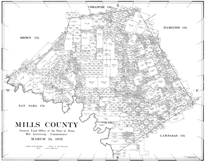
Mills County
1976
-
Size
33.1 x 41.9 inches
-
Map/Doc
77374
-
Creation Date
1976
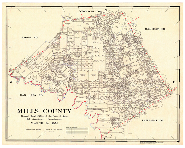
Mills County
1976
-
Size
38.8 x 48.3 inches
-
Map/Doc
95591
-
Creation Date
1976

Mills County Rolled Sketch 2
1974
-
Size
24.1 x 22.8 inches
-
Map/Doc
6780
-
Creation Date
1974

Mills County Working Sketch 20
1970
-
Size
43.1 x 43.4 inches
-
Map/Doc
71050
-
Creation Date
1970

Mills County Working Sketch 16
1963
-
Size
20.2 x 18.3 inches
-
Map/Doc
71046
-
Creation Date
1963

Mills County Working Sketch 19
1963
-
Size
18.6 x 31.2 inches
-
Map/Doc
71049
-
Creation Date
1963

Mills County Working Sketch 18
1963
-
Size
23.2 x 37.0 inches
-
Map/Doc
71048
-
Creation Date
1963

Mills County Working Sketch 17
1963
-
Size
20.4 x 17.9 inches
-
Map/Doc
71047
-
Creation Date
1963

General Highway Map, Mills County, Texas
1961
-
Size
18.2 x 24.6 inches
-
Map/Doc
79599
-
Creation Date
1961

Mills County Working Sketch 15
1951
-
Size
38.4 x 41.6 inches
-
Map/Doc
71045
-
Creation Date
1951