127 results

Andrews County Rolled Sketch 42
77182.tif
Print $20.00 - Digital $50.00

Andrews County Rolled Sketch 42

Size: 27.3 x 36.0 inches
77182
Block 2 T. & N. Ry. Co., Block 97 H. T. C. Ry. Co.
89874-1.tif
Print $40.00 - Digital $50.00

Block 2 T. & N. Ry. Co., Block 97 H. T. C. Ry. Co.

1888

Size: 41.5 x 48.1 inches
89874
Borden County Sketch File 3
14703, Borden County Sketch File 3, General Map Collection
Print $4.00 - Digital $50.00

Borden County Sketch File 3

1902

Size: 7.3 x 12.8 inches
14703
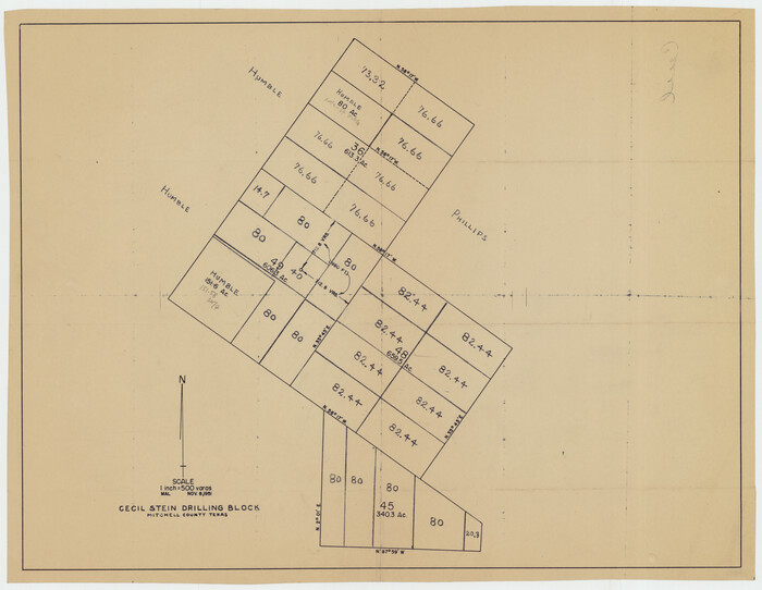
Cecil Stein Drilling Block
92280-1.tif
Print $3.00 - Digital $50.00

Cecil Stein Drilling Block

1951

Size: 12.3 x 9.5 inches
92280
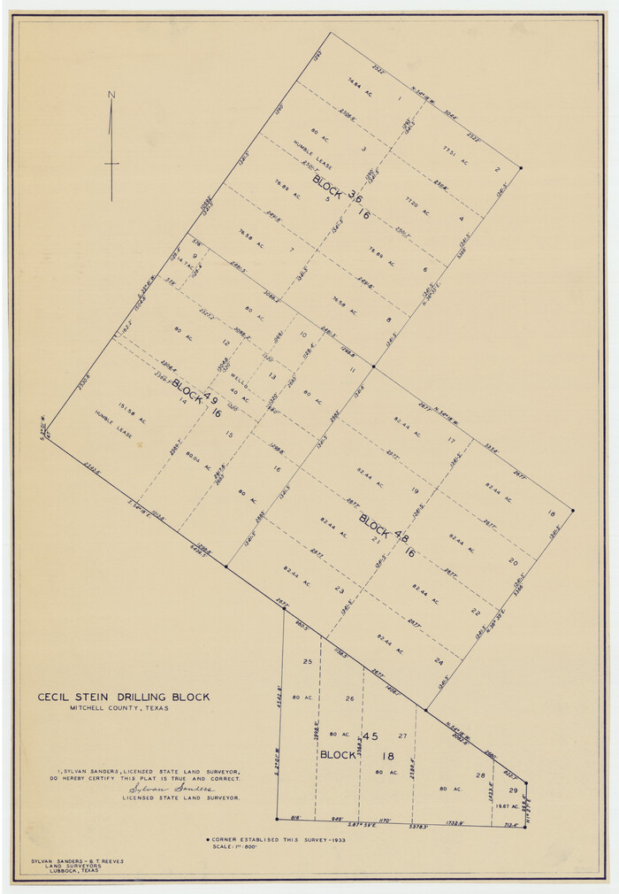
Cecil Stein Drilling Block
92281-1.tif
Print $3.00 - Digital $50.00

Cecil Stein Drilling Block

1933

Size: 11.2 x 16.2 inches
92281
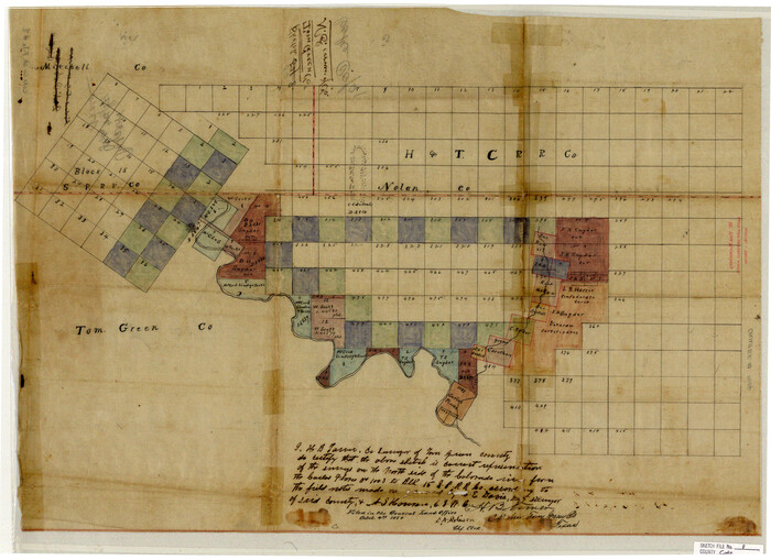
Coke County Sketch File 17-18
11109, Coke County Sketch File 17-18, General Map Collection
Print $24.00 - Digital $50.00

Coke County Sketch File 17-18

1902

Size: 16.6 x 14.2 inches
11109
Coke County Sketch File 34
11116, Coke County Sketch File 34, General Map Collection
Print $20.00 - Digital $50.00

Coke County Sketch File 34

1888

Size: 17.2 x 21.7 inches
11116
Coke County Sketch File 38
82529, Coke County Sketch File 38, General Map Collection
Print $42.00 - Digital $50.00

Coke County Sketch File 38

1858

Size: 8.0 x 10.0 inches
82529
Coke County Sketch File 4
18566, Coke County Sketch File 4, General Map Collection
Print $46.00 - Digital $50.00

Coke County Sketch File 4

1884

Size: 9.2 x 7.7 inches
18566
Coke County Sketch File 8
11106, Coke County Sketch File 8, General Map Collection
Print $20.00 - Digital $50.00

Coke County Sketch File 8

Size: 20.2 x 27.8 inches
11106
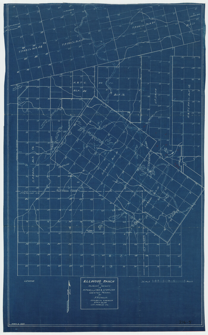
Ellwood Ranch and Adjacent Property in Mitchell, Coke & Sterling Counties, Texas
91884-1.tif
Print $20.00 - Digital $50.00

Ellwood Ranch and Adjacent Property in Mitchell, Coke & Sterling Counties, Texas

1925

Size: 17.6 x 27.8 inches
91884
Fisher County Sketch File 10
11477, Fisher County Sketch File 10, General Map Collection
Print $20.00 - Digital $50.00

Fisher County Sketch File 10

Size: 9.7 x 37.0 inches
11477
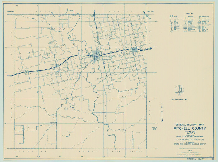
General Highway Map, Mitchell County, Texas
79200.tif
Print $20.00

General Highway Map, Mitchell County, Texas

1940

Size: 18.5 x 24.8 inches
79200
General Highway Map, Mitchell County, Texas
79600.tif
Print $20.00

General Highway Map, Mitchell County, Texas

1961
Size: 18.1 x 24.6 inches
79600
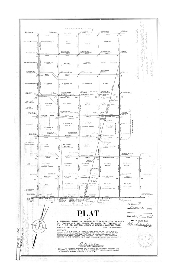
Howard County Rolled Sketch 12
6243.tif
Print $20.00 - Digital $50.00

Howard County Rolled Sketch 12

Size: 25.8 x 16.5 inches
6243
Howard County Rolled Sketch 12A
6244.tif
Print $20.00 - Digital $50.00

Howard County Rolled Sketch 12A

1948

Size: 23.3 x 13.9 inches
6244
Howard County Rolled Sketch 2
6232-1.tif
Print $20.00 - Digital $50.00

Howard County Rolled Sketch 2

1905

Size: 27.6 x 23.0 inches
6232
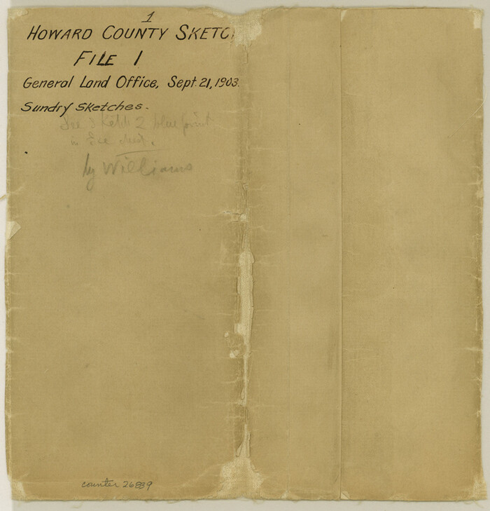
Howard County Sketch File 1
26839, Howard County Sketch File 1, General Map Collection
Print $34.00 - Digital $50.00

Howard County Sketch File 1

1903

Size: 8.9 x 8.6 inches
26839
Map Showing Blocks 15, 16 & 18 S.P.R.R.Co.
92282-1.tif
Print $20.00 - Digital $50.00

Map Showing Blocks 15, 16 & 18 S.P.R.R.Co.

1933

Size: 24.7 x 19.1 inches
92282
Map of Alabama and Texas Cattle Co's Pasture
5064.tif
Print $20.00 - Digital $50.00

Map of Alabama and Texas Cattle Co's Pasture

Size: 17.6 x 18.1 inches
5064
Map of Mitchell County, Texas
88980.tif
Print $20.00

Map of Mitchell County, Texas

1890

Size: 23.4 x 18.9 inches
88980
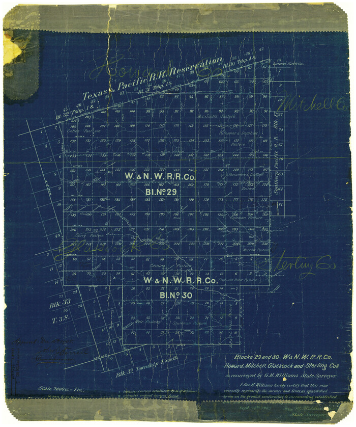
Map of Northern Boundary Line of Texas and Pacific 80 Mile Reservation
65694.tif
Print $20.00 - Digital $50.00

Map of Northern Boundary Line of Texas and Pacific 80 Mile Reservation

1902

Size: 16.8 x 16.7 inches
65694
Map of Southeastern Part of Young Territory
1989.tif
Print $40.00 - Digital $50.00

Map of Southeastern Part of Young Territory

1874
Size: 54.7 x 30.1 inches
1989
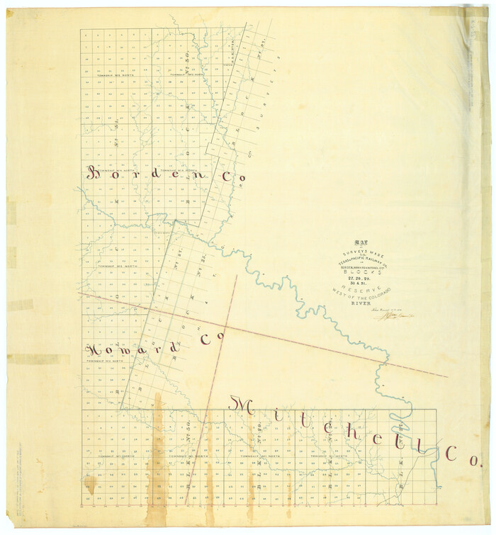
Map of Surveys Made for the T&PRR in Borden, Howard & Mitchell Counties, Blocks 27, 28, 29, 30 & 31, Reserve West of the Colorado
2230.tif
Print $20.00 - Digital $50.00

Map of Surveys Made for the T&PRR in Borden, Howard & Mitchell Counties, Blocks 27, 28, 29, 30 & 31, Reserve West of the Colorado

1876
Size: 42.8 x 39.7 inches
2230
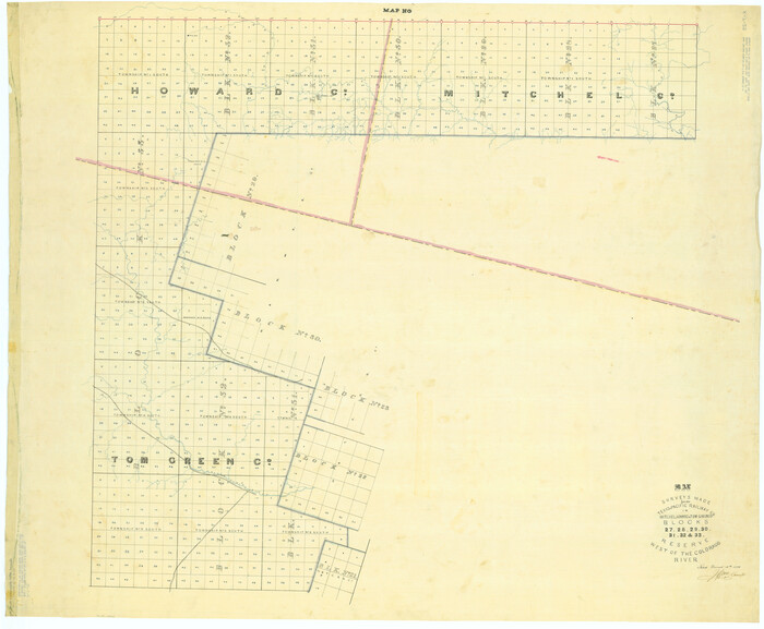
Map of Surveys Made for the T&PRRCo in Howard, Mitchell & Tom Green Counties, Blocks 27, 28, 29, 30, 31, 32 & 33, Reserve West of the Colorado
2228.tif
Print $40.00 - Digital $50.00

Map of Surveys Made for the T&PRRCo in Howard, Mitchell & Tom Green Counties, Blocks 27, 28, 29, 30, 31, 32 & 33, Reserve West of the Colorado

1876
Size: 42.0 x 51.0 inches
2228
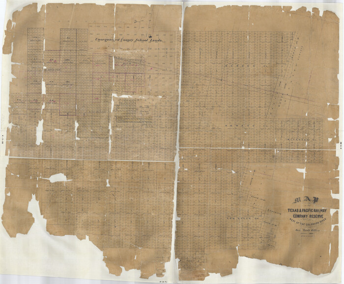
Map of the Texas & Pacific Railway Company Reserve west of the Colorado River
2233.tif
Print $40.00 - Digital $50.00

Map of the Texas & Pacific Railway Company Reserve west of the Colorado River

1877

Size: 48.9 x 59.2 inches
2233
Map of the Texas & Pacific Railway from Fort Worth to El Paso
64511.tif
Print $40.00 - Digital $50.00

Map of the Texas & Pacific Railway from Fort Worth to El Paso

Size: 24.0 x 76.5 inches
64511
Mitchell County
10792.tif
Print $20.00 - Digital $50.00

Mitchell County

1889

Size: 42.3 x 35.7 inches
10792
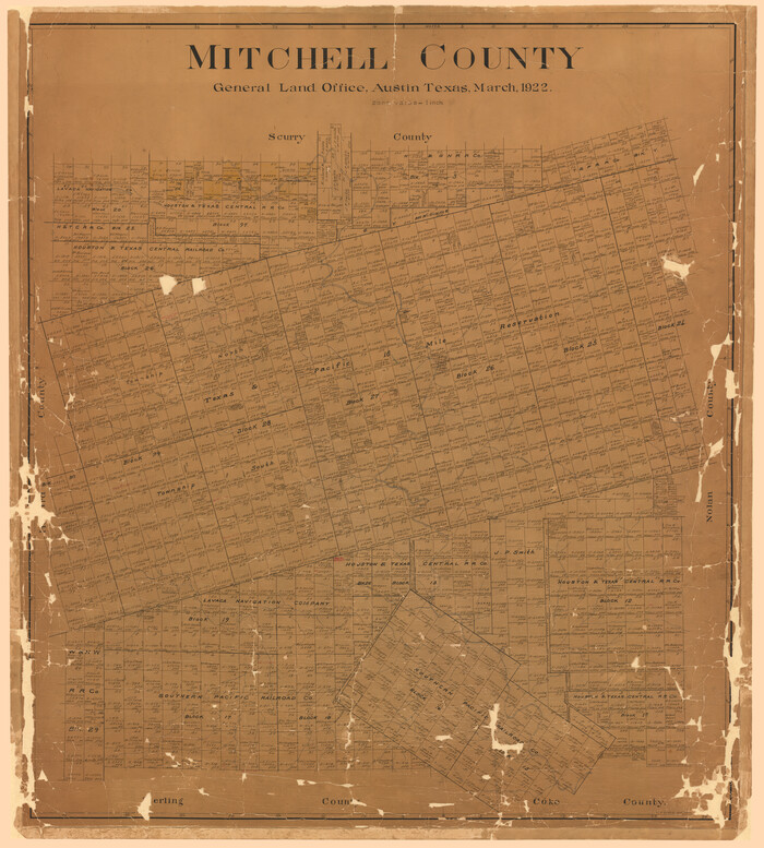
Mitchell County
2309.tif
Print $20.00 - Digital $50.00

Mitchell County

1922

Size: 42.6 x 38.3 inches
2309
Mitchell County
3883-1.tif
Print $20.00 - Digital $50.00

Mitchell County

1880

Size: 26.2 x 23.5 inches
3883
Andrews County Rolled Sketch 42
77182, Andrews County Rolled Sketch 42, General Map Collection
Print $20.00 - Digital $50.00

Andrews County Rolled Sketch 42

  • Size

    27.3 x 36.0 inches

  • Map/Doc

    77182

Block 2 T. & N. Ry. Co., Block 97 H. T. C. Ry. Co.
89874, Block 2 T. & N. Ry. Co., Block 97 H. T. C. Ry. Co., Twichell Survey Records
Print $40.00 - Digital $50.00

Block 2 T. & N. Ry. Co., Block 97 H. T. C. Ry. Co.

1888

  • Size

    41.5 x 48.1 inches

  • Map/Doc

    89874

  • Creation Date

    1888

Borden County Sketch File 3
14703, Borden County Sketch File 3, General Map Collection
Print $4.00 - Digital $50.00

Borden County Sketch File 3

1902

  • Size

    7.3 x 12.8 inches

  • Map/Doc

    14703

  • Creation Date

    1902

Cecil Stein Drilling Block
92280, Cecil Stein Drilling Block, Twichell Survey Records
Print $3.00 - Digital $50.00

Cecil Stein Drilling Block

1951

  • Size

    12.3 x 9.5 inches

  • Map/Doc

    92280

  • Creation Date

    1951

Cecil Stein Drilling Block
92281, Cecil Stein Drilling Block, Twichell Survey Records
Print $3.00 - Digital $50.00

Cecil Stein Drilling Block

1933

  • Size

    11.2 x 16.2 inches

  • Map/Doc

    92281

  • Creation Date

    1933

Coke County Sketch File 17-18
11109, Coke County Sketch File 17-18, General Map Collection
Print $24.00 - Digital $50.00

Coke County Sketch File 17-18

1902

  • Size

    16.6 x 14.2 inches

  • Map/Doc

    11109

  • Creation Date

    1902

Coke County Sketch File 34
11116, Coke County Sketch File 34, General Map Collection
Print $20.00 - Digital $50.00

Coke County Sketch File 34

1888

  • Size

    17.2 x 21.7 inches

  • Map/Doc

    11116

  • Creation Date

    1888

Coke County Sketch File 38
82529, Coke County Sketch File 38, General Map Collection
Print $42.00 - Digital $50.00

Coke County Sketch File 38

1858

  • Size

    8.0 x 10.0 inches

  • Map/Doc

    82529

  • Creation Date

    1858

Coke County Sketch File 4
18566, Coke County Sketch File 4, General Map Collection
Print $46.00 - Digital $50.00

Coke County Sketch File 4

1884

  • Size

    9.2 x 7.7 inches

  • Map/Doc

    18566

  • Creation Date

    1884

Coke County Sketch File 8
11106, Coke County Sketch File 8, General Map Collection
Print $20.00 - Digital $50.00

Coke County Sketch File 8

  • Size

    20.2 x 27.8 inches

  • Map/Doc

    11106

Ellwood Ranch and Adjacent Property in Mitchell, Coke & Sterling Counties, Texas
91884, Ellwood Ranch and Adjacent Property in Mitchell, Coke & Sterling Counties, Texas, Twichell Survey Records
Print $20.00 - Digital $50.00

Ellwood Ranch and Adjacent Property in Mitchell, Coke & Sterling Counties, Texas

1925

  • Size

    17.6 x 27.8 inches

  • Map/Doc

    91884

  • Creation Date

    1925

Fisher County Sketch File 10
11477, Fisher County Sketch File 10, General Map Collection
Print $20.00 - Digital $50.00

Fisher County Sketch File 10

  • Size

    9.7 x 37.0 inches

  • Map/Doc

    11477

General Highway Map, Mitchell County, Texas
79200, General Highway Map, Mitchell County, Texas, Texas State Library and Archives
Print $20.00

General Highway Map, Mitchell County, Texas

1940

  • Size

    18.5 x 24.8 inches

  • Map/Doc

    79200

  • Creation Date

    1940

General Highway Map, Mitchell County, Texas
79600, General Highway Map, Mitchell County, Texas, Texas State Library and Archives
Print $20.00

General Highway Map, Mitchell County, Texas

1961

  • Size

    18.1 x 24.6 inches

  • Map/Doc

    79600

  • Creation Date

    1961

Howard County Rolled Sketch 12
6243, Howard County Rolled Sketch 12, General Map Collection
Print $20.00 - Digital $50.00

Howard County Rolled Sketch 12

  • Size

    25.8 x 16.5 inches

  • Map/Doc

    6243

Howard County Rolled Sketch 12A
6244, Howard County Rolled Sketch 12A
Print $20.00 - Digital $50.00

Howard County Rolled Sketch 12A

1948

  • Size

    23.3 x 13.9 inches

  • Map/Doc

    6244

  • Creation Date

    1948

Howard County Rolled Sketch 2
6232, Howard County Rolled Sketch 2, General Map Collection
Print $20.00 - Digital $50.00

Howard County Rolled Sketch 2

1905

  • Size

    27.6 x 23.0 inches

  • Map/Doc

    6232

  • Creation Date

    1905

Howard County Sketch File 1
26839, Howard County Sketch File 1, General Map Collection
Print $34.00 - Digital $50.00

Howard County Sketch File 1

1903

  • Size

    8.9 x 8.6 inches

  • Map/Doc

    26839

  • Creation Date

    1903

Map Showing Blocks 15, 16 & 18 S.P.R.R.Co.
92282, Map Showing Blocks 15, 16 & 18 S.P.R.R.Co., Twichell Survey Records
Print $20.00 - Digital $50.00

Map Showing Blocks 15, 16 & 18 S.P.R.R.Co.

1933

  • Size

    24.7 x 19.1 inches

  • Map/Doc

    92282

  • Creation Date

    1933

Map of Alabama and Texas Cattle Co's Pasture
5064, Map of Alabama and Texas Cattle Co's Pasture, Maddox Collection
Print $20.00 - Digital $50.00

Map of Alabama and Texas Cattle Co's Pasture

  • Size

    17.6 x 18.1 inches

  • Map/Doc

    5064

Map of Mitchell County, Texas
88980, Map of Mitchell County, Texas, Library of Congress
Print $20.00

Map of Mitchell County, Texas

1890

  • Size

    23.4 x 18.9 inches

  • Map/Doc

    88980

  • Creation Date

    1890

Map of Northern Boundary Line of Texas and Pacific 80 Mile Reservation
65694, Map of Northern Boundary Line of Texas and Pacific 80 Mile Reservation, General Map Collection
Print $20.00 - Digital $50.00

Map of Northern Boundary Line of Texas and Pacific 80 Mile Reservation

1902

  • Size

    16.8 x 16.7 inches

  • Map/Doc

    65694

  • Creation Date

    1902

Map of Southeastern Part of Young Territory
1989, Map of Southeastern Part of Young Territory, General Map Collection
Print $40.00 - Digital $50.00

Map of Southeastern Part of Young Territory

1874

  • Size

    54.7 x 30.1 inches

  • Map/Doc

    1989

  • Creation Date

    1874

Map of Surveys Made for the T&PRR in Borden, Howard & Mitchell Counties, Blocks 27, 28, 29, 30 & 31, Reserve West of the Colorado
2230, Map of Surveys Made for the T&PRR in Borden, Howard & Mitchell Counties, Blocks 27, 28, 29, 30 & 31, Reserve West of the Colorado, General Map Collection
Print $20.00 - Digital $50.00

Map of Surveys Made for the T&PRR in Borden, Howard & Mitchell Counties, Blocks 27, 28, 29, 30 & 31, Reserve West of the Colorado

1876

  • Size

    42.8 x 39.7 inches

  • Map/Doc

    2230

  • Creation Date

    1876

Map of Surveys Made for the T&PRRCo in Howard, Mitchell & Tom Green Counties, Blocks 27, 28, 29, 30, 31, 32 & 33, Reserve West of the Colorado
2228, Map of Surveys Made for the T&PRRCo in Howard, Mitchell & Tom Green Counties, Blocks 27, 28, 29, 30, 31, 32 & 33, Reserve West of the Colorado, General Map Collection
Print $40.00 - Digital $50.00

Map of Surveys Made for the T&PRRCo in Howard, Mitchell & Tom Green Counties, Blocks 27, 28, 29, 30, 31, 32 & 33, Reserve West of the Colorado

1876

  • Size

    42.0 x 51.0 inches

  • Map/Doc

    2228

  • Creation Date

    1876

Map of the Texas & Pacific Railway Company Reserve west of the Colorado River
2233, Map of the Texas & Pacific Railway Company Reserve west of the Colorado River, General Map Collection
Print $40.00 - Digital $50.00

Map of the Texas & Pacific Railway Company Reserve west of the Colorado River

1877

  • Size

    48.9 x 59.2 inches

  • Map/Doc

    2233

  • Creation Date

    1877

Map of the Texas & Pacific Railway from Fort Worth to El Paso
64511, Map of the Texas & Pacific Railway from Fort Worth to El Paso, General Map Collection
Print $40.00 - Digital $50.00

Map of the Texas & Pacific Railway from Fort Worth to El Paso

  • Size

    24.0 x 76.5 inches

  • Map/Doc

    64511

Mitchell County
10792, Mitchell County, General Map Collection
Print $20.00 - Digital $50.00

Mitchell County

1889

  • Size

    42.3 x 35.7 inches

  • Map/Doc

    10792

  • Creation Date

    1889

Mitchell County
2309, Mitchell County, General Map Collection
Print $20.00 - Digital $50.00

Mitchell County

1922

  • Size

    42.6 x 38.3 inches

  • Map/Doc

    2309

  • Creation Date

    1922

Mitchell County
3883, Mitchell County, General Map Collection
Print $20.00 - Digital $50.00

Mitchell County

1880

  • Size

    26.2 x 23.5 inches

  • Map/Doc

    3883

  • Creation Date

    1880