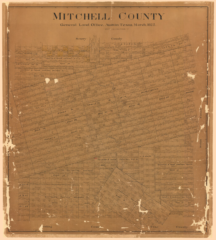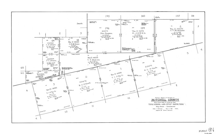
127 results

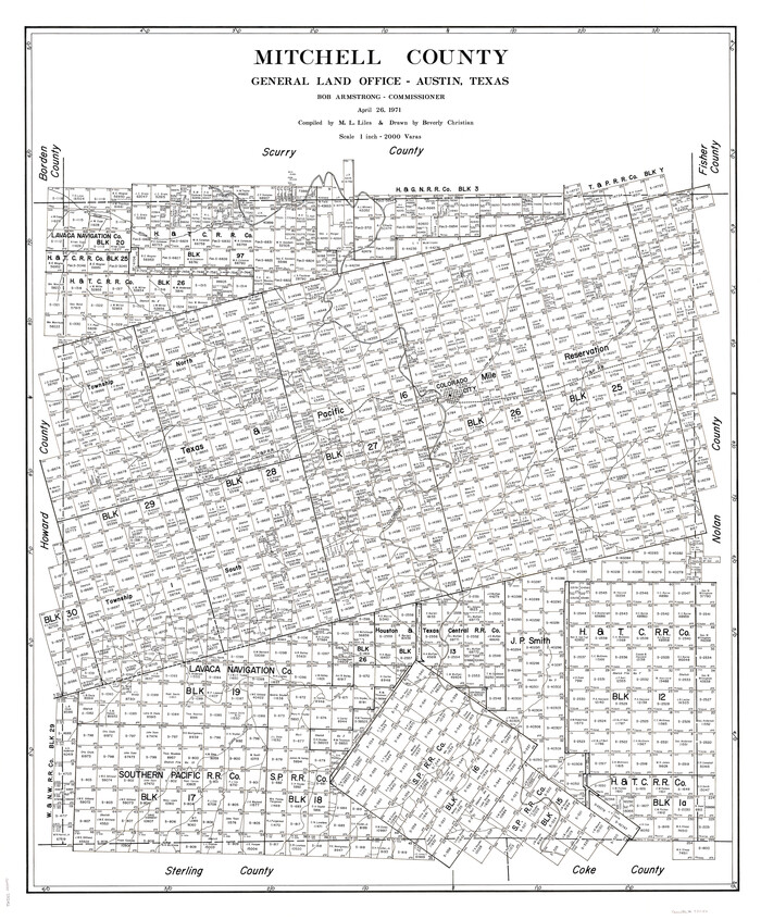
Mitchell County
73242.tif
Print $20.00 - Digital $50.00

Mitchell County

1971

Size: 42.6 x 36.0 inches
73242
Mitchell County Working Sketch Graphic Index
76644.tif
Print $20.00 - Digital $50.00

Mitchell County Working Sketch Graphic Index

1971
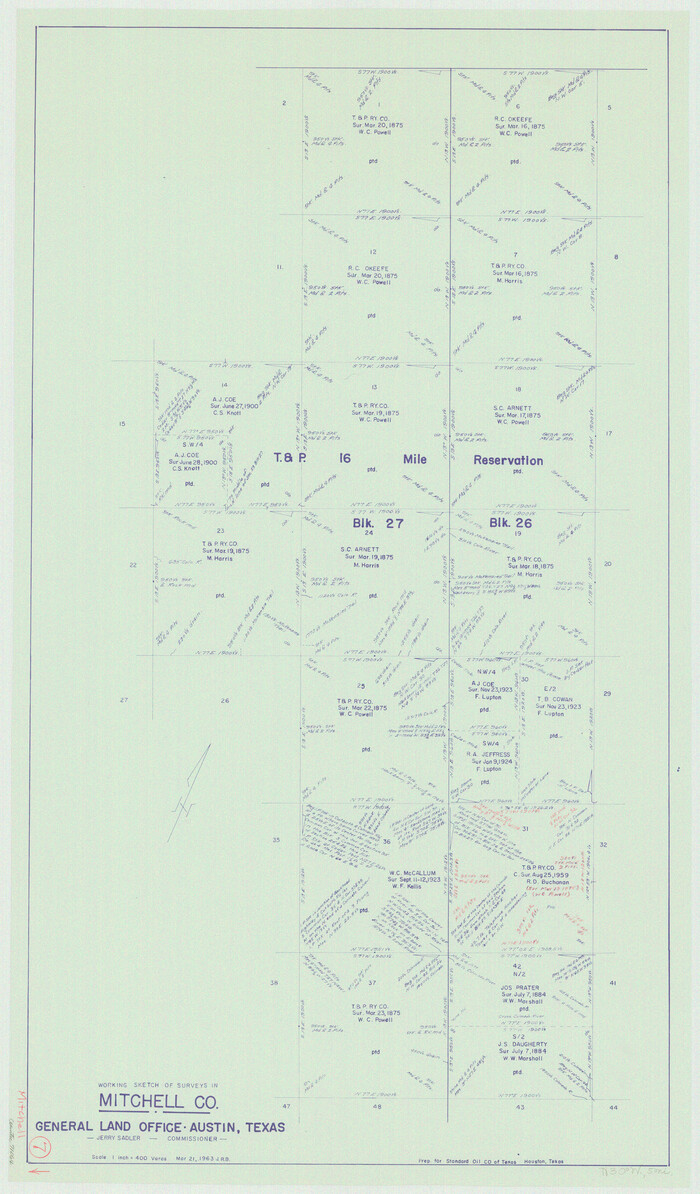
Size: 41.0 x 34.4 inches
76644
Mitchell County
77375.tif
Print $20.00 - Digital $50.00

Mitchell County

1971

Size: 39.9 x 33.3 inches
77375
Mitchell County
95592.tif
Print $20.00 - Digital $50.00

Mitchell County

1971

Size: 43.6 x 37.0 inches
95592
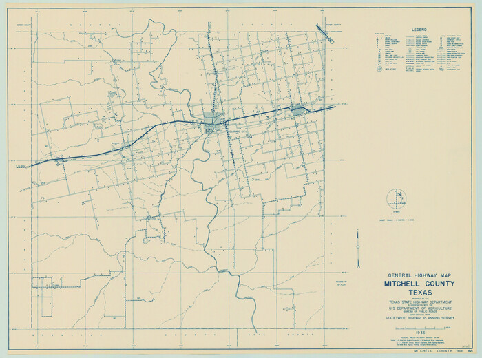
General Highway Map, Mitchell County, Texas
79600.tif
Print $20.00

General Highway Map, Mitchell County, Texas

1961
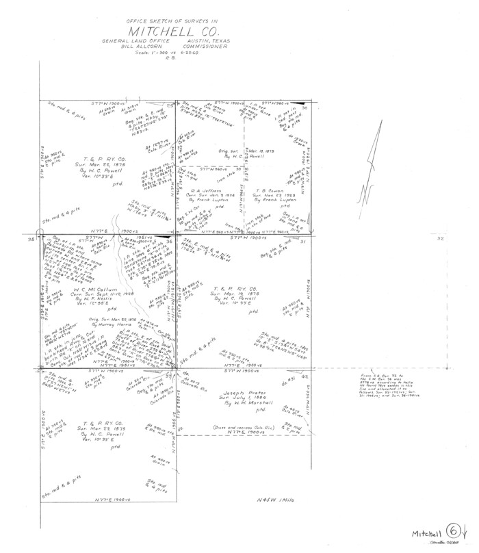
Size: 18.1 x 24.6 inches
79600
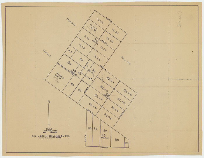
Cecil Stein Drilling Block
92280-1.tif
Print $3.00 - Digital $50.00

Cecil Stein Drilling Block

1951

Size: 12.3 x 9.5 inches
92280
Howard County Rolled Sketch 12A
6244.tif
Print $20.00 - Digital $50.00

Howard County Rolled Sketch 12A

1948

Size: 23.3 x 13.9 inches
6244
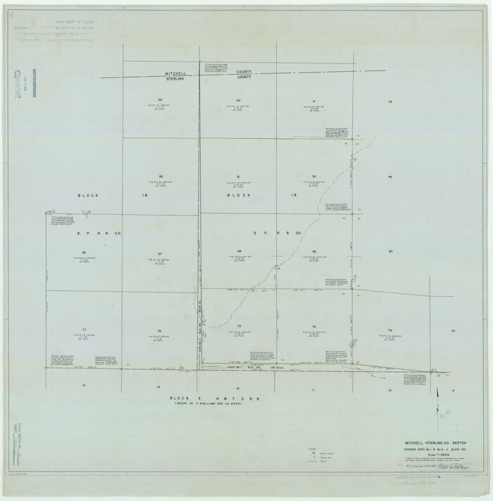
Sterling County Rolled Sketch 12
9946.tif
Print $20.00 - Digital $50.00

Sterling County Rolled Sketch 12

1941

Size: 35.6 x 35.0 inches
9946
Mitchell County Rolled Sketch 3
9524.tif
Print $40.00 - Digital $50.00

Mitchell County Rolled Sketch 3

1940

Size: 39.6 x 49.0 inches
9524
General Highway Map, Mitchell County, Texas
79200.tif
Print $20.00

General Highway Map, Mitchell County, Texas

1940

Size: 18.5 x 24.8 inches
79200
Mitchell County Sketch File 16a
31703, Mitchell County Sketch File 16a, General Map Collection
Print $12.00 - Digital $50.00

Mitchell County Sketch File 16a

1933

Size: 11.3 x 8.8 inches
31703
Map Showing Blocks 15, 16 & 18 S.P.R.R.Co.
92282-1.tif
Print $20.00 - Digital $50.00

Map Showing Blocks 15, 16 & 18 S.P.R.R.Co.

1933
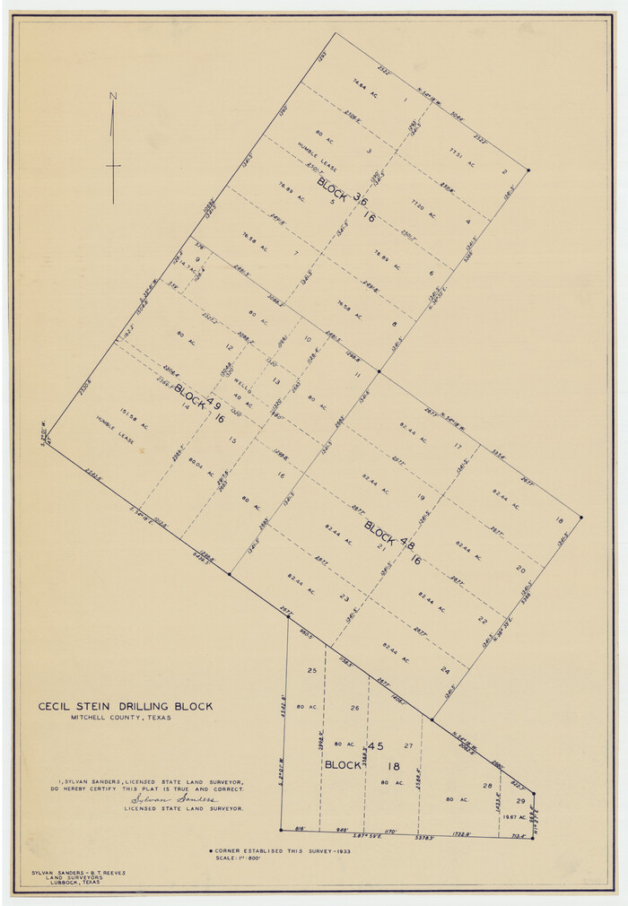
Size: 24.7 x 19.1 inches
92282
Cecil Stein Drilling Block
92281-1.tif
Print $3.00 - Digital $50.00

Cecil Stein Drilling Block

1933

Size: 11.2 x 16.2 inches
92281
Renderbrook Ranch
92279-1.tif
Print $20.00 - Digital $50.00

Renderbrook Ranch

1932

Size: 16.9 x 13.5 inches
92279
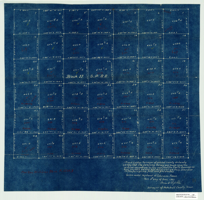
Mitchell County Sketch File 15
12102, Mitchell County Sketch File 15, General Map Collection
Print $20.00 - Digital $50.00

Mitchell County Sketch File 15

1931

Size: 19.2 x 19.6 inches
12102
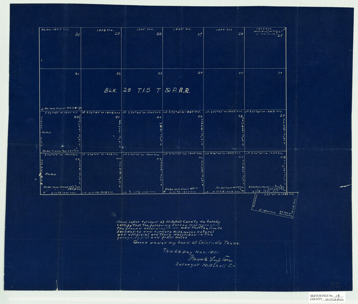
Mitchell County Sketch File 14
12101, Mitchell County Sketch File 14, General Map Collection
Print $20.00 - Digital $50.00

Mitchell County Sketch File 14

1930

Size: 17.5 x 20.5 inches
12101
The Texas and Pacific Ry. Co., Station Map, Iatan, Mitchell County, Texas
64667.tif
Print $20.00 - Digital $50.00

The Texas and Pacific Ry. Co., Station Map, Iatan, Mitchell County, Texas

1929
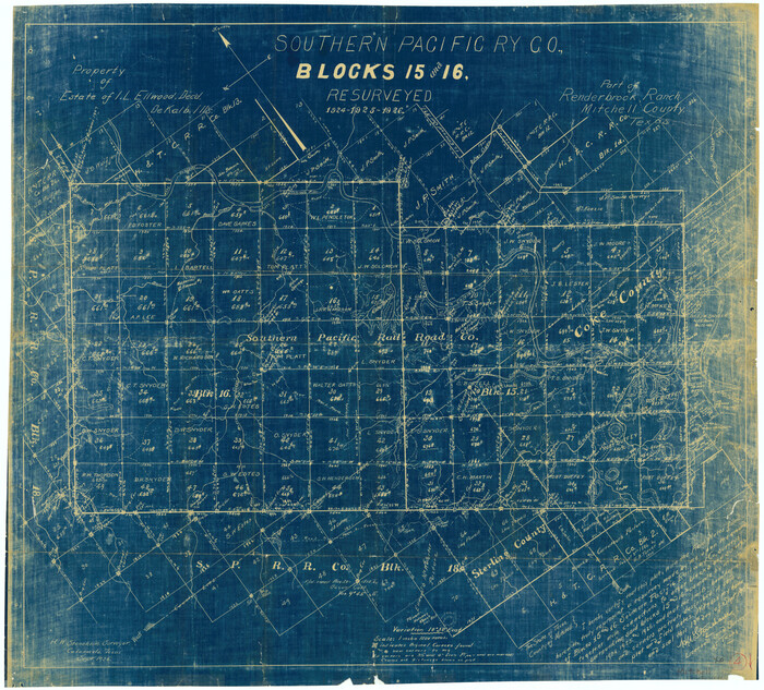
Size: 11.0 x 18.4 inches
64667
Mitchell County Sketch File 13
12100, Mitchell County Sketch File 13, General Map Collection
Print $20.00 - Digital $50.00

Mitchell County Sketch File 13

1925

Size: 19.3 x 16.3 inches
12100
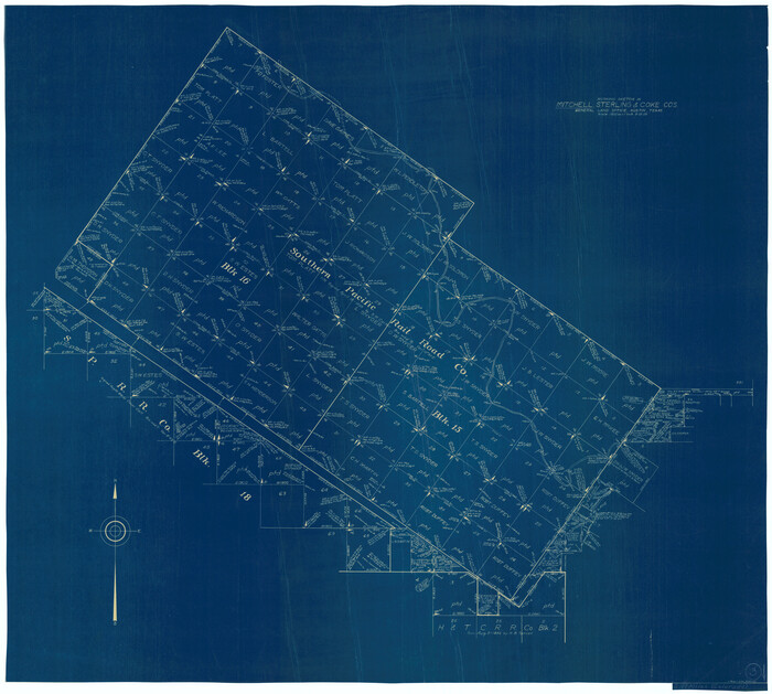
Working Sketch in Mitchell, Sterling, and Coke Co's.
91840-1.tif
Print $20.00 - Digital $50.00

Working Sketch in Mitchell, Sterling, and Coke Co's.

1925
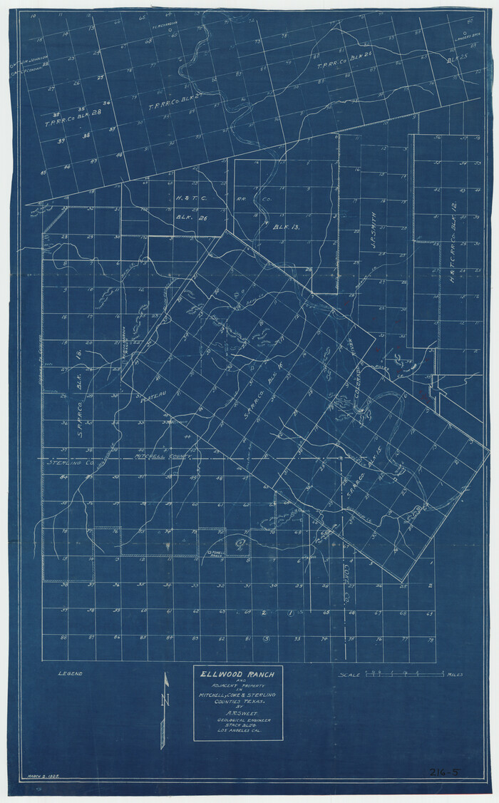
Size: 34.2 x 30.7 inches
91840
Ellwood Ranch and Adjacent Property in Mitchell, Coke & Sterling Counties, Texas
91884-1.tif
Print $20.00 - Digital $50.00

Ellwood Ranch and Adjacent Property in Mitchell, Coke & Sterling Counties, Texas

1925

Size: 17.6 x 27.8 inches
91884
Water-Shed of the Colorado River
65261-1.tif
Print $40.00 - Digital $50.00

Water-Shed of the Colorado River

1925

Size: 37.1 x 79.8 inches
65261
Mitchell County
2309.tif
Print $20.00 - Digital $50.00

Mitchell County

1922

Size: 42.6 x 38.3 inches
2309
Mitchell County
66936.tif
Print $20.00 - Digital $50.00

Mitchell County

1922

Size: 43.4 x 38.2 inches
66936
Mitchell County Sketch File 12
12099, Mitchell County Sketch File 12, General Map Collection
Print $20.00 - Digital $50.00

Mitchell County Sketch File 12

1912

Size: 25.6 x 14.0 inches
12099
Mitchell County Sketch File 11
31700, Mitchell County Sketch File 11, General Map Collection
Print $6.00 - Digital $50.00

Mitchell County Sketch File 11

1910

Size: 11.2 x 8.8 inches
31700
Mitchell County Sketch File 10
31698, Mitchell County Sketch File 10, General Map Collection
Print $4.00 - Digital $50.00

Mitchell County Sketch File 10

1909

Size: 11.3 x 8.8 inches
31698
Mitchell County Sketch File 8
12098, Mitchell County Sketch File 8, General Map Collection
Print $20.00 - Digital $50.00

Mitchell County Sketch File 8

1909

Size: 26.9 x 20.9 inches
12098
Mitchell County Sketch File 9
31694, Mitchell County Sketch File 9, General Map Collection
Print $8.00 - Digital $50.00

Mitchell County Sketch File 9

1909

Size: 11.4 x 8.6 inches
31694
[Plat No. 1, Connecting line from SW corner of Jones Co. to SE corner of Borden Co.]
1698.tif
Print $40.00 - Digital $50.00

[Plat No. 1, Connecting line from SW corner of Jones Co. to SE corner of Borden Co.]

1908

Size: 18.1 x 128.8 inches
1698
Mitchell County Sketch File X
12104, Mitchell County Sketch File X, General Map Collection
Print $20.00 - Digital $50.00

Mitchell County Sketch File X

1908

Size: 29.9 x 17.7 inches
12104
Mitchell County
73242, Mitchell County, General Map Collection
Print $20.00 - Digital $50.00

Mitchell County

1971

  • Size

    42.6 x 36.0 inches

  • Map/Doc

    73242

  • Creation Date

    1971

Mitchell County Working Sketch Graphic Index
76644, Mitchell County Working Sketch Graphic Index, General Map Collection
Print $20.00 - Digital $50.00

Mitchell County Working Sketch Graphic Index

1971

  • Size

    41.0 x 34.4 inches

  • Map/Doc

    76644

  • Creation Date

    1971

Mitchell County
77375, Mitchell County, General Map Collection
Print $20.00 - Digital $50.00

Mitchell County

1971

  • Size

    39.9 x 33.3 inches

  • Map/Doc

    77375

  • Creation Date

    1971

Mitchell County
95592, Mitchell County, General Map Collection
Print $20.00 - Digital $50.00

Mitchell County

1971

  • Size

    43.6 x 37.0 inches

  • Map/Doc

    95592

  • Creation Date

    1971

General Highway Map, Mitchell County, Texas
79600, General Highway Map, Mitchell County, Texas, Texas State Library and Archives
Print $20.00

General Highway Map, Mitchell County, Texas

1961

  • Size

    18.1 x 24.6 inches

  • Map/Doc

    79600

  • Creation Date

    1961

Cecil Stein Drilling Block
92280, Cecil Stein Drilling Block, Twichell Survey Records
Print $3.00 - Digital $50.00

Cecil Stein Drilling Block

1951

  • Size

    12.3 x 9.5 inches

  • Map/Doc

    92280

  • Creation Date

    1951

Howard County Rolled Sketch 12A
6244, Howard County Rolled Sketch 12A
Print $20.00 - Digital $50.00

Howard County Rolled Sketch 12A

1948

  • Size

    23.3 x 13.9 inches

  • Map/Doc

    6244

  • Creation Date

    1948

Sterling County Rolled Sketch 12
9946, Sterling County Rolled Sketch 12, General Map Collection
Print $20.00 - Digital $50.00

Sterling County Rolled Sketch 12

1941

  • Size

    35.6 x 35.0 inches

  • Map/Doc

    9946

  • Creation Date

    1941

Mitchell County Rolled Sketch 3
9524, Mitchell County Rolled Sketch 3, General Map Collection
Print $40.00 - Digital $50.00

Mitchell County Rolled Sketch 3

1940

  • Size

    39.6 x 49.0 inches

  • Map/Doc

    9524

  • Creation Date

    1940

General Highway Map, Mitchell County, Texas
79200, General Highway Map, Mitchell County, Texas, Texas State Library and Archives
Print $20.00

General Highway Map, Mitchell County, Texas

1940

  • Size

    18.5 x 24.8 inches

  • Map/Doc

    79200

  • Creation Date

    1940

Mitchell County Sketch File 16a
31703, Mitchell County Sketch File 16a, General Map Collection
Print $12.00 - Digital $50.00

Mitchell County Sketch File 16a

1933

  • Size

    11.3 x 8.8 inches

  • Map/Doc

    31703

  • Creation Date

    1933

Map Showing Blocks 15, 16 & 18 S.P.R.R.Co.
92282, Map Showing Blocks 15, 16 & 18 S.P.R.R.Co., Twichell Survey Records
Print $20.00 - Digital $50.00

Map Showing Blocks 15, 16 & 18 S.P.R.R.Co.

1933

  • Size

    24.7 x 19.1 inches

  • Map/Doc

    92282

  • Creation Date

    1933

Cecil Stein Drilling Block
92281, Cecil Stein Drilling Block, Twichell Survey Records
Print $3.00 - Digital $50.00

Cecil Stein Drilling Block

1933

  • Size

    11.2 x 16.2 inches

  • Map/Doc

    92281

  • Creation Date

    1933

Renderbrook Ranch
92279, Renderbrook Ranch, Twichell Survey Records
Print $20.00 - Digital $50.00

Renderbrook Ranch

1932

  • Size

    16.9 x 13.5 inches

  • Map/Doc

    92279

  • Creation Date

    1932

Mitchell County Sketch File 15
12102, Mitchell County Sketch File 15, General Map Collection
Print $20.00 - Digital $50.00

Mitchell County Sketch File 15

1931

  • Size

    19.2 x 19.6 inches

  • Map/Doc

    12102

  • Creation Date

    1931

Mitchell County Sketch File 14
12101, Mitchell County Sketch File 14, General Map Collection
Print $20.00 - Digital $50.00

Mitchell County Sketch File 14

1930

  • Size

    17.5 x 20.5 inches

  • Map/Doc

    12101

  • Creation Date

    1930

The Texas and Pacific Ry. Co., Station Map, Iatan, Mitchell County, Texas
64667, The Texas and Pacific Ry. Co., Station Map, Iatan, Mitchell County, Texas, General Map Collection
Print $20.00 - Digital $50.00

The Texas and Pacific Ry. Co., Station Map, Iatan, Mitchell County, Texas

1929

  • Size

    11.0 x 18.4 inches

  • Map/Doc

    64667

  • Creation Date

    1929

Mitchell County Sketch File 13
12100, Mitchell County Sketch File 13, General Map Collection
Print $20.00 - Digital $50.00

Mitchell County Sketch File 13

1925

  • Size

    19.3 x 16.3 inches

  • Map/Doc

    12100

  • Creation Date

    1925

Working Sketch in Mitchell, Sterling, and Coke Co's.
91840, Working Sketch in Mitchell, Sterling, and Coke Co's., Twichell Survey Records
Print $20.00 - Digital $50.00

Working Sketch in Mitchell, Sterling, and Coke Co's.

1925

  • Size

    34.2 x 30.7 inches

  • Map/Doc

    91840

  • Creation Date

    1925

Ellwood Ranch and Adjacent Property in Mitchell, Coke & Sterling Counties, Texas
91884, Ellwood Ranch and Adjacent Property in Mitchell, Coke & Sterling Counties, Texas, Twichell Survey Records
Print $20.00 - Digital $50.00

Ellwood Ranch and Adjacent Property in Mitchell, Coke & Sterling Counties, Texas

1925

  • Size

    17.6 x 27.8 inches

  • Map/Doc

    91884

  • Creation Date

    1925

Water-Shed of the Colorado River
65261, Water-Shed of the Colorado River, General Map Collection
Print $40.00 - Digital $50.00

Water-Shed of the Colorado River

1925

  • Size

    37.1 x 79.8 inches

  • Map/Doc

    65261

  • Creation Date

    1925

Mitchell County
2309, Mitchell County, General Map Collection
Print $20.00 - Digital $50.00

Mitchell County

1922

  • Size

    42.6 x 38.3 inches

  • Map/Doc

    2309

  • Creation Date

    1922

Mitchell County
66936, Mitchell County, General Map Collection
Print $20.00 - Digital $50.00

Mitchell County

1922

  • Size

    43.4 x 38.2 inches

  • Map/Doc

    66936

  • Creation Date

    1922

Mitchell County Sketch File 12
12099, Mitchell County Sketch File 12, General Map Collection
Print $20.00 - Digital $50.00

Mitchell County Sketch File 12

1912

  • Size

    25.6 x 14.0 inches

  • Map/Doc

    12099

  • Creation Date

    1912

Mitchell County Sketch File 11
31700, Mitchell County Sketch File 11, General Map Collection
Print $6.00 - Digital $50.00

Mitchell County Sketch File 11

1910

  • Size

    11.2 x 8.8 inches

  • Map/Doc

    31700

  • Creation Date

    1910

Mitchell County Sketch File 10
31698, Mitchell County Sketch File 10, General Map Collection
Print $4.00 - Digital $50.00

Mitchell County Sketch File 10

1909

  • Size

    11.3 x 8.8 inches

  • Map/Doc

    31698

  • Creation Date

    1909

Mitchell County Sketch File 8
12098, Mitchell County Sketch File 8, General Map Collection
Print $20.00 - Digital $50.00

Mitchell County Sketch File 8

1909

  • Size

    26.9 x 20.9 inches

  • Map/Doc

    12098

  • Creation Date

    1909

Mitchell County Sketch File 9
31694, Mitchell County Sketch File 9, General Map Collection
Print $8.00 - Digital $50.00

Mitchell County Sketch File 9

1909

  • Size

    11.4 x 8.6 inches

  • Map/Doc

    31694

  • Creation Date

    1909

[Plat No. 1, Connecting line from SW corner of Jones Co. to SE corner of Borden Co.]
1698, [Plat No. 1, Connecting line from SW corner of Jones Co. to SE corner of Borden Co.], General Map Collection
Print $40.00 - Digital $50.00

[Plat No. 1, Connecting line from SW corner of Jones Co. to SE corner of Borden Co.]

1908

  • Size

    18.1 x 128.8 inches

  • Map/Doc

    1698

  • Creation Date

    1908

Mitchell County Sketch File X
12104, Mitchell County Sketch File X, General Map Collection
Print $20.00 - Digital $50.00

Mitchell County Sketch File X

1908

  • Size

    29.9 x 17.7 inches

  • Map/Doc

    12104

  • Creation Date

    1908