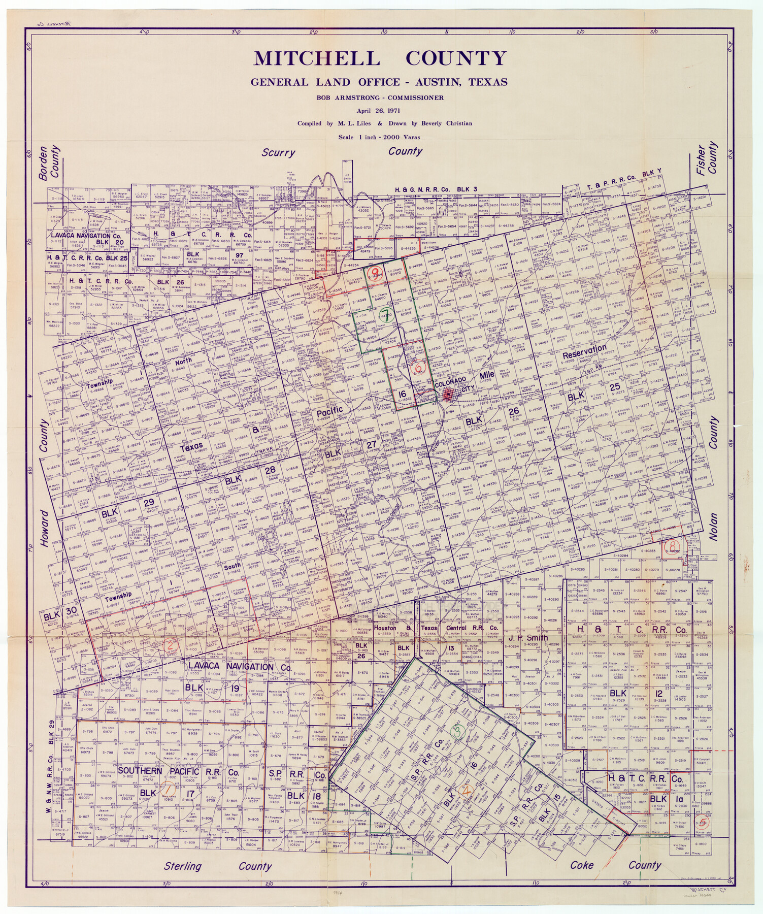
Mitchell County Working Sketch Graphic Index
-
Map/Doc
76644
-
Collection
General Map Collection
-
Object Dates
4/26/1971 (Creation Date)
-
People and Organizations
M. L. Liles (Compiler)
Beverly Christian (Draftsman)
-
Counties
Mitchell
-
Subjects
County Surveying Working Sketch
-
Height x Width
41.0 x 34.4 inches
104.1 x 87.4 cm
-
Scale
1" = 2000 varas
Part of: General Map Collection
[Surveys in Power and Hewetson's Colony along the Blanco and Medina Rivers]
![46, [Surveys in Power and Hewetson's Colony along the Blanco and Medina Rivers], General Map Collection](https://historictexasmaps.com/wmedia_w700/maps/46.tif.jpg)
Print $20.00
- Digital $50.00
[Surveys in Power and Hewetson's Colony along the Blanco and Medina Rivers]
1834
Size 37.0 x 29.9 inches
Map/Doc 46
Zapata County Rolled Sketch 12B

Print $40.00
- Digital $50.00
Zapata County Rolled Sketch 12B
1917
Size 55.7 x 40.0 inches
Map/Doc 10166
Chambers County Aerial Photograph Index Sheet 4

Print $20.00
- Digital $50.00
Chambers County Aerial Photograph Index Sheet 4
1956
Size 19.7 x 15.6 inches
Map/Doc 83685
[Surveys in Guadalupe and Wilson Counties]
![59, [Surveys in Guadalupe and Wilson Counties], General Map Collection](https://historictexasmaps.com/wmedia_w700/maps/59.tif.jpg)
Print $2.00
- Digital $50.00
[Surveys in Guadalupe and Wilson Counties]
Size 6.0 x 12.2 inches
Map/Doc 59
General Land Office and State Reclamation Department - Topographic Sheets

Print $20.00
- Digital $50.00
General Land Office and State Reclamation Department - Topographic Sheets
1930
Size 26.2 x 16.7 inches
Map/Doc 65264
El Paso County Rolled Sketch 52

Print $20.00
- Digital $50.00
El Paso County Rolled Sketch 52
1929
Size 18.4 x 24.3 inches
Map/Doc 5839
Hartley County

Print $20.00
- Digital $50.00
Hartley County
1925
Size 34.2 x 41.5 inches
Map/Doc 77306
A Topographical Map of the City of Austin

Print $20.00
- Digital $50.00
A Topographical Map of the City of Austin
1872
Size 20.6 x 15.1 inches
Map/Doc 93685
Anderson County Working Sketch 35

Print $20.00
- Digital $50.00
Anderson County Working Sketch 35
1968
Size 26.1 x 22.4 inches
Map/Doc 67035
Freestone County Working Sketch 2

Print $20.00
- Digital $50.00
Freestone County Working Sketch 2
1913
Size 23.1 x 28.2 inches
Map/Doc 69244
Runnels County Rolled Sketch 39

Print $20.00
- Digital $50.00
Runnels County Rolled Sketch 39
Size 34.3 x 31.6 inches
Map/Doc 7526
[The S.K. Ry. of Texas, State Line to Pecos, Reeves Co., Texas]
![64163, [The S.K. Ry. of Texas, State Line to Pecos, Reeves Co., Texas], General Map Collection](https://historictexasmaps.com/wmedia_w700/maps/64163.tif.jpg)
Print $40.00
- Digital $50.00
[The S.K. Ry. of Texas, State Line to Pecos, Reeves Co., Texas]
1910
Size 19.3 x 120.2 inches
Map/Doc 64163
You may also like
Railroad Track Map, H&TCRRCo., Falls County, Texas

Print $4.00
- Digital $50.00
Railroad Track Map, H&TCRRCo., Falls County, Texas
1918
Size 11.7 x 18.3 inches
Map/Doc 62853
General Highway Map, Motley County, Texas

Print $20.00
General Highway Map, Motley County, Texas
1940
Size 24.5 x 18.2 inches
Map/Doc 79204
Hidalgo County Working Sketch 2

Print $20.00
- Digital $50.00
Hidalgo County Working Sketch 2
1906
Size 22.0 x 28.0 inches
Map/Doc 66179
Webb County Rolled Sketch D

Print $20.00
- Digital $50.00
Webb County Rolled Sketch D
1897
Size 25.4 x 40.6 inches
Map/Doc 8222
Flight Mission No. BRE-1P, Frame 137, Nueces County

Print $20.00
- Digital $50.00
Flight Mission No. BRE-1P, Frame 137, Nueces County
1956
Size 18.7 x 22.6 inches
Map/Doc 86697

Map of the River Sabine from Logan's Ferry to 32nd degree of north latitude

Print $3.00
- Digital $50.00
Map of the River Sabine from Logan's Ferry to 32nd degree of north latitude
1841
Size 8.7 x 11.1 inches
Map/Doc 94497
Liberty County Rolled Sketch OB

Print $40.00
- Digital $50.00
Liberty County Rolled Sketch OB
1934
Size 71.0 x 24.8 inches
Map/Doc 9563
Flight Mission No. CLL-3N, Frame 34, Willacy County

Print $20.00
- Digital $50.00
Flight Mission No. CLL-3N, Frame 34, Willacy County
1954
Size 18.6 x 22.2 inches
Map/Doc 87092

Burnet County Boundary File 2

Print $28.00
- Digital $50.00
Burnet County Boundary File 2
Size 12.7 x 8.1 inches
Map/Doc 50858
Wilson County Working Sketch Graphic Index

Print $20.00
- Digital $50.00
Wilson County Working Sketch Graphic Index
1921
Size 39.5 x 47.7 inches
Map/Doc 76743