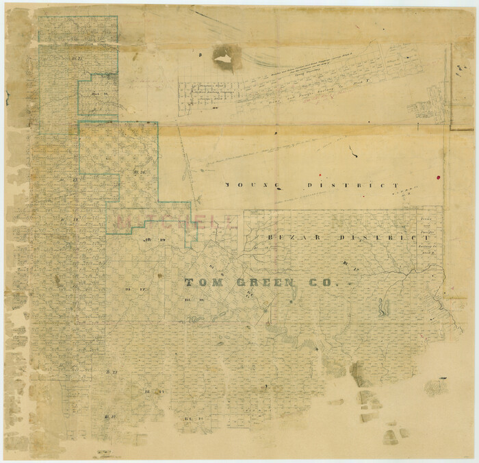
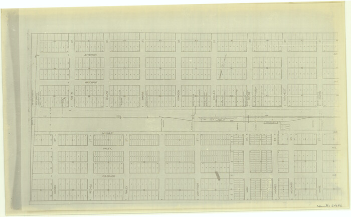
[Tom Green County]
Print $20.00
- Digital $50.00
[Tom Green County]
1888
Size: 33.2 x 34.4 inches
16901
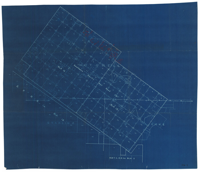
[Southern Pacific Rail Road Co. Blocks 15 and 16 in Mitchell, Sterling and Coke Counties]
Print $20.00
- Digital $50.00
[Southern Pacific Rail Road Co. Blocks 15 and 16 in Mitchell, Sterling and Coke Counties]
Size: 34.5 x 29.2 inches
91838
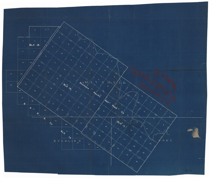
[Southern Pacific Rail Road Co. Blocks 15 and 16 in Mitchell, Sterling and Coke Counties]
Print $20.00
- Digital $50.00
[Southern Pacific Rail Road Co. Blocks 15 and 16 in Mitchell, Sterling and Coke Counties]
Size: 30.5 x 35.7 inches
91839
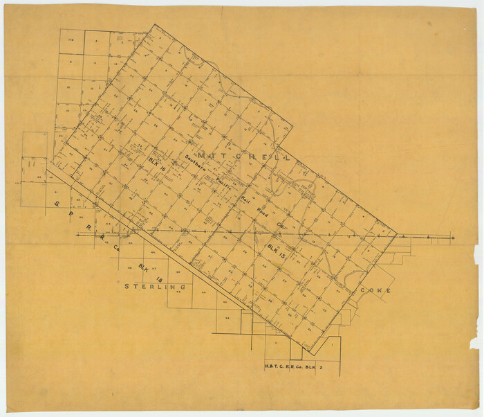
[S.P.R.R.Co. Blocks 15 &16]
Print $20.00
- Digital $50.00
[S.P.R.R.Co. Blocks 15 &16]
Size: 37.3 x 32.3 inches
92355
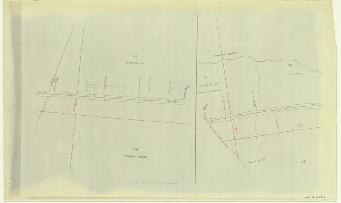
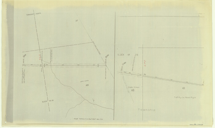
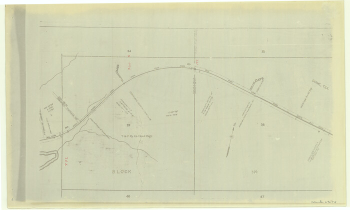
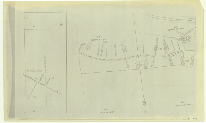
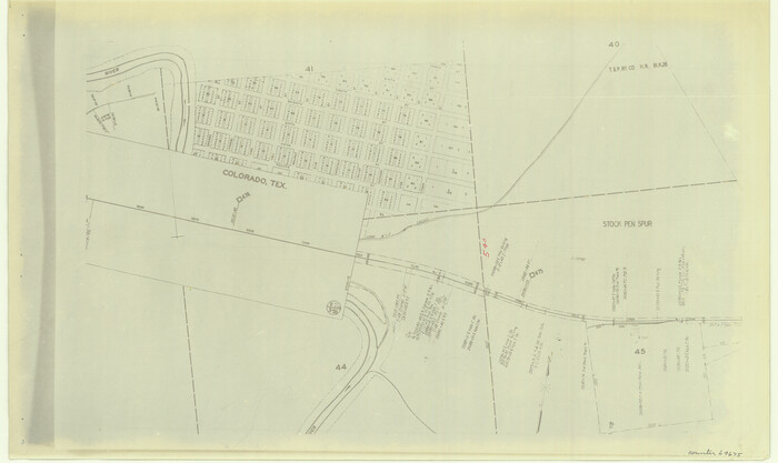
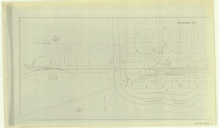
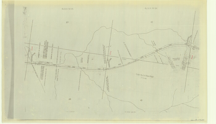
[Right of Way & Track Map, The Texas & Pacific Ry. Co. Main Line]
Print $20.00
- Digital $50.00
[Right of Way & Track Map, The Texas & Pacific Ry. Co. Main Line]
Size: 11.0 x 18.5 inches
64664
[Right of Way & Track Map, The Texas & Pacific Ry. Co. Main Line]
Print $20.00
- Digital $50.00
[Right of Way & Track Map, The Texas & Pacific Ry. Co. Main Line]
Size: 11.0 x 18.4 inches
64665
[Right of Way & Track Map, The Texas & Pacific Ry. Co. Main Line]
Print $20.00
- Digital $50.00
[Right of Way & Track Map, The Texas & Pacific Ry. Co. Main Line]
Size: 11.0 x 18.5 inches
64666
[Right of Way & Track Map, The Texas & Pacific Ry. Co. Main Line]
Print $20.00
- Digital $50.00
[Right of Way & Track Map, The Texas & Pacific Ry. Co. Main Line]
Size: 11.0 x 18.4 inches
64668
[Right of Way & Track Map, The Texas & Pacific Ry. Co. Main Line]
Print $20.00
- Digital $50.00
[Right of Way & Track Map, The Texas & Pacific Ry. Co. Main Line]
Size: 11.0 x 18.5 inches
64669
[Right of Way & Track Map, The Texas & Pacific Ry. Co. Main Line]
Print $20.00
- Digital $50.00
[Right of Way & Track Map, The Texas & Pacific Ry. Co. Main Line]
Size: 11.0 x 18.5 inches
64670
[Right of Way & Track Map, The Texas & Pacific Ry. Co. Main Line]
Print $20.00
- Digital $50.00
[Right of Way & Track Map, The Texas & Pacific Ry. Co. Main Line]
Size: 10.8 x 19.0 inches
64671
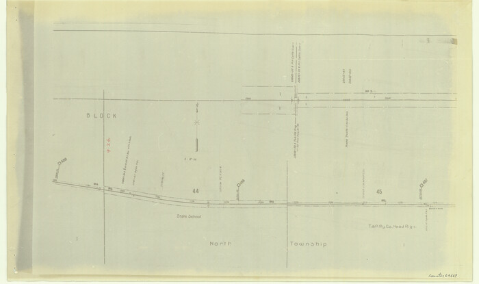
[Right of Way & Track Map, The Texas & Pacific Ry. Co. Main Line]
Print $20.00
- Digital $50.00
[Right of Way & Track Map, The Texas & Pacific Ry. Co. Main Line]
Size: 11.0 x 18.4 inches
64672
[Right of Way & Track Map, The Texas & Pacific Ry. Co. Main Line]
Print $20.00
- Digital $50.00
[Right of Way & Track Map, The Texas & Pacific Ry. Co. Main Line]
Size: 11.2 x 18.6 inches
64673
[Right of Way & Track Map, The Texas & Pacific Ry. Co. Main Line]
Print $20.00
- Digital $50.00
[Right of Way & Track Map, The Texas & Pacific Ry. Co. Main Line]
Size: 11.1 x 18.6 inches
64674
[Right of Way & Track Map, The Texas & Pacific Ry. Co. Main Line]
Print $20.00
- Digital $50.00
[Right of Way & Track Map, The Texas & Pacific Ry. Co. Main Line]
Size: 11.0 x 18.4 inches
64675
[Right of Way & Track Map, The Texas & Pacific Ry. Co. Main Line]
Print $20.00
- Digital $50.00
[Right of Way & Track Map, The Texas & Pacific Ry. Co. Main Line]
Size: 11.0 x 18.6 inches
64676
[Right of Way & Track Map, The Texas & Pacific Ry. Co. Main Line]
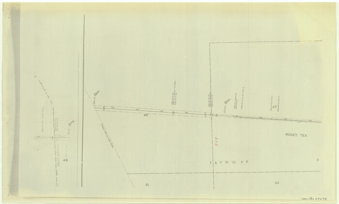
Print $20.00
- Digital $50.00
[Right of Way & Track Map, The Texas & Pacific Ry. Co. Main Line]
Size: 11.1 x 18.3 inches
64678
[Right of Way & Track Map, The Texas & Pacific Ry. Co. Main Line]
Print $20.00
- Digital $50.00
[Right of Way & Track Map, The Texas & Pacific Ry. Co. Main Line]
Size: 11.0 x 18.4 inches
64679
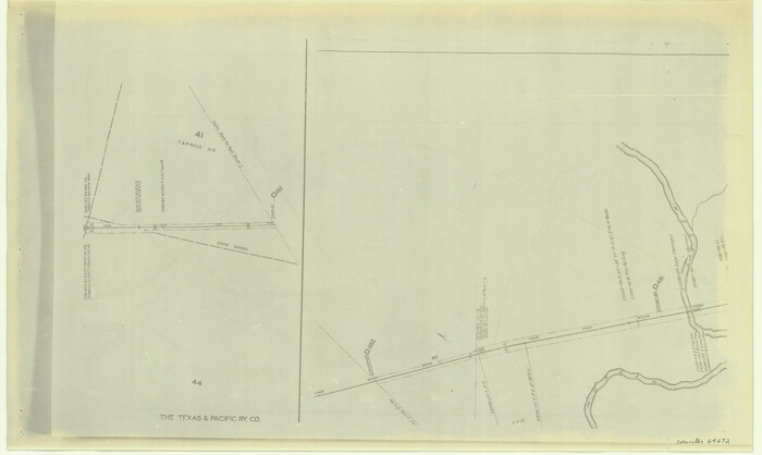
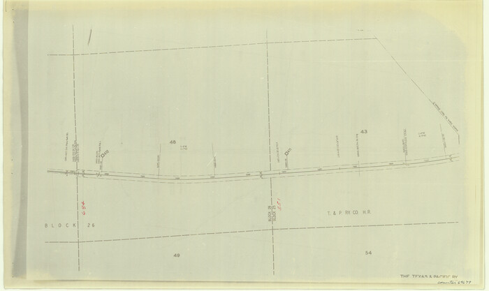
[Right of Way & Track Map, The Texas & Pacific Ry. Co. Main Line]
Print $20.00
- Digital $50.00
[Right of Way & Track Map, The Texas & Pacific Ry. Co. Main Line]
Size: 11.0 x 19.0 inches
64680
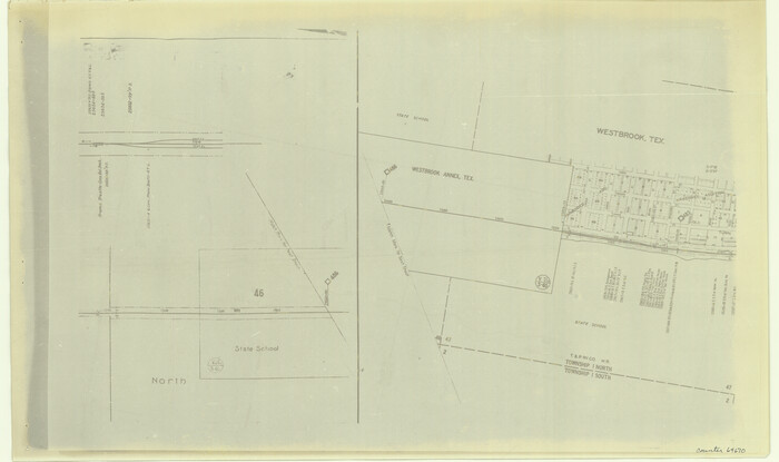
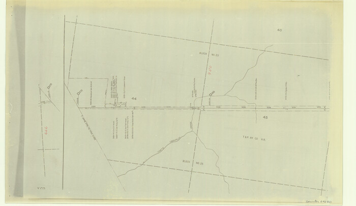
[Right of Way & Track Map, The Texas & Pacific Ry. Co. Main Line]
Print $20.00
- Digital $50.00
[Right of Way & Track Map, The Texas & Pacific Ry. Co. Main Line]
Size: 11.0 x 19.0 inches
64681
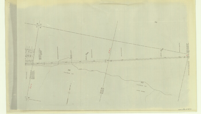
[Right of Way & Track Map, The Texas & Pacific Ry. Co. Main Line]
Print $20.00
- Digital $50.00
[Right of Way & Track Map, The Texas & Pacific Ry. Co. Main Line]
Size: 11.4 x 18.4 inches
64682
[Right of Way & Track Map, The Texas & Pacific Ry. Co. Main Line]
Print $20.00
- Digital $50.00
[Right of Way & Track Map, The Texas & Pacific Ry. Co. Main Line]
Size: 11.0 x 19.0 inches
64684
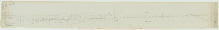
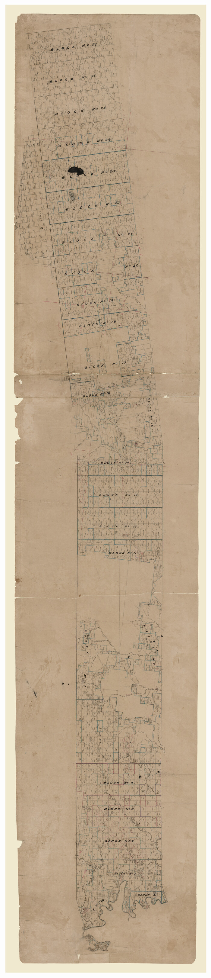
[Plat No. 1, Connecting line from SW corner of Jones Co. to SE corner of Borden Co.]
Print $40.00
- Digital $50.00
[Plat No. 1, Connecting line from SW corner of Jones Co. to SE corner of Borden Co.]
1908
Size: 18.1 x 128.8 inches
1698
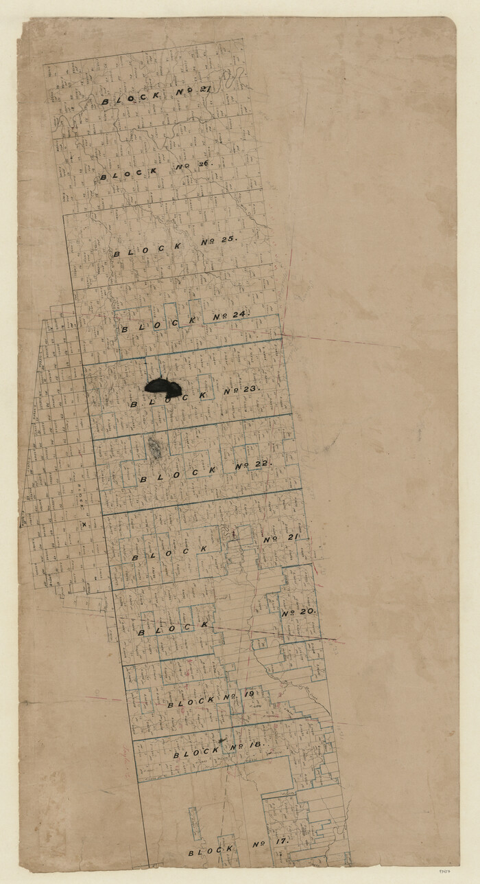
[Map of Texas and Pacific Blocks from Brazos River westward through Palo Pinto, Stephens, Shackelford, Jones, Callahan, Taylor, Fisher, Nolan and Mitchell Counties]
Print $20.00
- Digital $50.00
[Map of Texas and Pacific Blocks from Brazos River westward through Palo Pinto, Stephens, Shackelford, Jones, Callahan, Taylor, Fisher, Nolan and Mitchell Counties]
Size: 35.0 x 19.3 inches
93457
[Map of Texas and Pacific Blocks from Brazos River westward through Palo Pinto, Stephens, Shackelford, Jones, Callahan, Taylor, Fisher, Nolan and Mitchell Counties]
Print $40.00
- Digital $50.00
[Map of Texas and Pacific Blocks from Brazos River westward through Palo Pinto, Stephens, Shackelford, Jones, Callahan, Taylor, Fisher, Nolan and Mitchell Counties]
Size: 87.1 x 18.8 inches
93460
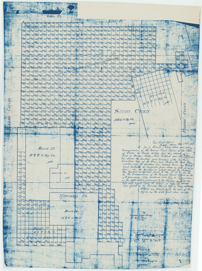
[Map of Block 97, Borden and Scurry Co (Exhibit A); Map of Southeastern part of Young Territory; Map of part of of Borden, Fisher, Kent, Mitchell, Scurry and Garza Cos. Showing the north boundary line of the T&P 80 mile reservation]
Print $20.00
- Digital $50.00
[Map of Block 97, Borden and Scurry Co (Exhibit A); Map of Southeastern part of Young Territory; Map of part of of Borden, Fisher, Kent, Mitchell, Scurry and Garza Cos. Showing the north boundary line of the T&P 80 mile reservation]
1901
Size: 31.2 x 23.3 inches
65693
Working Sketch in Mitchell, Sterling, and Coke Co's.

Print $20.00
- Digital $50.00
Working Sketch in Mitchell, Sterling, and Coke Co's.
1925
Size: 34.2 x 30.7 inches
91840
Water-Shed of the Colorado River

Print $40.00
- Digital $50.00
Water-Shed of the Colorado River
1925
Size: 37.1 x 79.8 inches
65261
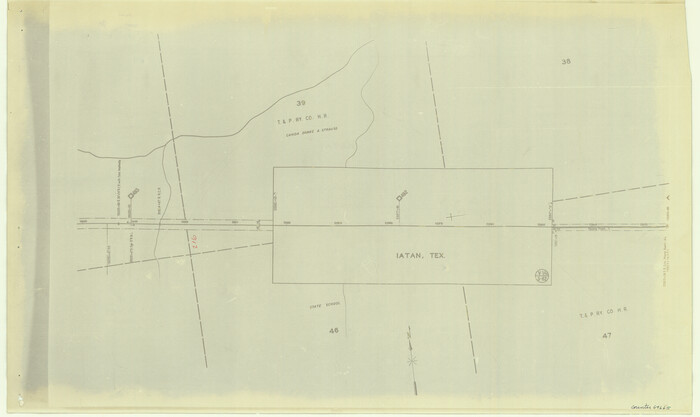
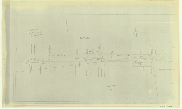
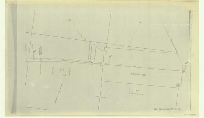
The Texas and Pacific Ry. Co., Station Map, Loraine, Texas

Print $20.00
- Digital $50.00
The Texas and Pacific Ry. Co., Station Map, Loraine, Texas
Size: 11.6 x 18.6 inches
64683
[Tom Green County]
Print $20.00
- Digital $50.00
[Tom Green County]
1888
-
Size
33.2 x 34.4 inches
-
Map/Doc
16901
-
Creation Date
1888
[Southern Pacific Rail Road Co. Blocks 15 and 16 in Mitchell, Sterling and Coke Counties]
Print $20.00
- Digital $50.00
[Southern Pacific Rail Road Co. Blocks 15 and 16 in Mitchell, Sterling and Coke Counties]
-
Size
34.5 x 29.2 inches
-
Map/Doc
91838
[Southern Pacific Rail Road Co. Blocks 15 and 16 in Mitchell, Sterling and Coke Counties]
Print $20.00
- Digital $50.00
[Southern Pacific Rail Road Co. Blocks 15 and 16 in Mitchell, Sterling and Coke Counties]
-
Size
30.5 x 35.7 inches
-
Map/Doc
91839
[S.P.R.R.Co. Blocks 15 &16]
Print $20.00
- Digital $50.00
[S.P.R.R.Co. Blocks 15 &16]
-
Size
37.3 x 32.3 inches
-
Map/Doc
92355
[Right of Way & Track Map, The Texas & Pacific Ry. Co. Main Line]
Print $20.00
- Digital $50.00
[Right of Way & Track Map, The Texas & Pacific Ry. Co. Main Line]
-
Size
11.0 x 18.5 inches
-
Map/Doc
64664
[Right of Way & Track Map, The Texas & Pacific Ry. Co. Main Line]
Print $20.00
- Digital $50.00
[Right of Way & Track Map, The Texas & Pacific Ry. Co. Main Line]
-
Size
11.0 x 18.4 inches
-
Map/Doc
64665
[Right of Way & Track Map, The Texas & Pacific Ry. Co. Main Line]
Print $20.00
- Digital $50.00
[Right of Way & Track Map, The Texas & Pacific Ry. Co. Main Line]
-
Size
11.0 x 18.5 inches
-
Map/Doc
64666
[Right of Way & Track Map, The Texas & Pacific Ry. Co. Main Line]
Print $20.00
- Digital $50.00
[Right of Way & Track Map, The Texas & Pacific Ry. Co. Main Line]
-
Size
11.0 x 18.4 inches
-
Map/Doc
64668
[Right of Way & Track Map, The Texas & Pacific Ry. Co. Main Line]
Print $20.00
- Digital $50.00
[Right of Way & Track Map, The Texas & Pacific Ry. Co. Main Line]
-
Size
11.0 x 18.5 inches
-
Map/Doc
64669
[Right of Way & Track Map, The Texas & Pacific Ry. Co. Main Line]
Print $20.00
- Digital $50.00
[Right of Way & Track Map, The Texas & Pacific Ry. Co. Main Line]
-
Size
11.0 x 18.5 inches
-
Map/Doc
64670
[Right of Way & Track Map, The Texas & Pacific Ry. Co. Main Line]
Print $20.00
- Digital $50.00
[Right of Way & Track Map, The Texas & Pacific Ry. Co. Main Line]
-
Size
10.8 x 19.0 inches
-
Map/Doc
64671
[Right of Way & Track Map, The Texas & Pacific Ry. Co. Main Line]
Print $20.00
- Digital $50.00
[Right of Way & Track Map, The Texas & Pacific Ry. Co. Main Line]
-
Size
11.0 x 18.4 inches
-
Map/Doc
64672
[Right of Way & Track Map, The Texas & Pacific Ry. Co. Main Line]
Print $20.00
- Digital $50.00
[Right of Way & Track Map, The Texas & Pacific Ry. Co. Main Line]
-
Size
11.2 x 18.6 inches
-
Map/Doc
64673
[Right of Way & Track Map, The Texas & Pacific Ry. Co. Main Line]
Print $20.00
- Digital $50.00
[Right of Way & Track Map, The Texas & Pacific Ry. Co. Main Line]
-
Size
11.1 x 18.6 inches
-
Map/Doc
64674
[Right of Way & Track Map, The Texas & Pacific Ry. Co. Main Line]
Print $20.00
- Digital $50.00
[Right of Way & Track Map, The Texas & Pacific Ry. Co. Main Line]
-
Size
11.0 x 18.4 inches
-
Map/Doc
64675
[Right of Way & Track Map, The Texas & Pacific Ry. Co. Main Line]
Print $20.00
- Digital $50.00
[Right of Way & Track Map, The Texas & Pacific Ry. Co. Main Line]
-
Size
11.0 x 18.6 inches
-
Map/Doc
64676
[Right of Way & Track Map, The Texas & Pacific Ry. Co. Main Line]
Print $20.00
- Digital $50.00
[Right of Way & Track Map, The Texas & Pacific Ry. Co. Main Line]
-
Size
11.1 x 18.3 inches
-
Map/Doc
64678
[Right of Way & Track Map, The Texas & Pacific Ry. Co. Main Line]
Print $20.00
- Digital $50.00
[Right of Way & Track Map, The Texas & Pacific Ry. Co. Main Line]
-
Size
11.0 x 18.4 inches
-
Map/Doc
64679
[Right of Way & Track Map, The Texas & Pacific Ry. Co. Main Line]
Print $20.00
- Digital $50.00
[Right of Way & Track Map, The Texas & Pacific Ry. Co. Main Line]
-
Size
11.0 x 19.0 inches
-
Map/Doc
64680
[Right of Way & Track Map, The Texas & Pacific Ry. Co. Main Line]
Print $20.00
- Digital $50.00
[Right of Way & Track Map, The Texas & Pacific Ry. Co. Main Line]
-
Size
11.0 x 19.0 inches
-
Map/Doc
64681
[Right of Way & Track Map, The Texas & Pacific Ry. Co. Main Line]
Print $20.00
- Digital $50.00
[Right of Way & Track Map, The Texas & Pacific Ry. Co. Main Line]
-
Size
11.4 x 18.4 inches
-
Map/Doc
64682
[Right of Way & Track Map, The Texas & Pacific Ry. Co. Main Line]
Print $20.00
- Digital $50.00
[Right of Way & Track Map, The Texas & Pacific Ry. Co. Main Line]
-
Size
11.0 x 19.0 inches
-
Map/Doc
64684
[Plat No. 1, Connecting line from SW corner of Jones Co. to SE corner of Borden Co.]
Print $40.00
- Digital $50.00
[Plat No. 1, Connecting line from SW corner of Jones Co. to SE corner of Borden Co.]
1908
-
Size
18.1 x 128.8 inches
-
Map/Doc
1698
-
Creation Date
1908
[Map of Texas and Pacific Blocks from Brazos River westward through Palo Pinto, Stephens, Shackelford, Jones, Callahan, Taylor, Fisher, Nolan and Mitchell Counties]
Print $20.00
- Digital $50.00
[Map of Texas and Pacific Blocks from Brazos River westward through Palo Pinto, Stephens, Shackelford, Jones, Callahan, Taylor, Fisher, Nolan and Mitchell Counties]
-
Size
35.0 x 19.3 inches
-
Map/Doc
93457
[Map of Texas and Pacific Blocks from Brazos River westward through Palo Pinto, Stephens, Shackelford, Jones, Callahan, Taylor, Fisher, Nolan and Mitchell Counties]
Print $40.00
- Digital $50.00
[Map of Texas and Pacific Blocks from Brazos River westward through Palo Pinto, Stephens, Shackelford, Jones, Callahan, Taylor, Fisher, Nolan and Mitchell Counties]
-
Size
87.1 x 18.8 inches
-
Map/Doc
93460
[Map of Block 97, Borden and Scurry Co (Exhibit A); Map of Southeastern part of Young Territory; Map of part of of Borden, Fisher, Kent, Mitchell, Scurry and Garza Cos. Showing the north boundary line of the T&P 80 mile reservation]
Print $20.00
- Digital $50.00
[Map of Block 97, Borden and Scurry Co (Exhibit A); Map of Southeastern part of Young Territory; Map of part of of Borden, Fisher, Kent, Mitchell, Scurry and Garza Cos. Showing the north boundary line of the T&P 80 mile reservation]
1901
-
Size
31.2 x 23.3 inches
-
Map/Doc
65693
-
Creation Date
1901
Young Territory

Print $20.00
- Digital $50.00
Young Territory
1873
-
Size
29.2 x 29.9 inches
-
Map/Doc
1976
-
Creation Date
1873
Working Sketch in Mitchell, Sterling, and Coke Co's.
Print $20.00
- Digital $50.00
Working Sketch in Mitchell, Sterling, and Coke Co's.
1925
-
Size
34.2 x 30.7 inches
-
Map/Doc
91840
-
Creation Date
1925
Water-Shed of the Colorado River
Print $40.00
- Digital $50.00
Water-Shed of the Colorado River
1925
-
Size
37.1 x 79.8 inches
-
Map/Doc
65261
-
Creation Date
1925
The Texas and Pacific Ry. Co., Station Map, Loraine, Texas
Print $20.00
- Digital $50.00
The Texas and Pacific Ry. Co., Station Map, Loraine, Texas
-
Size
11.6 x 18.6 inches
-
Map/Doc
64683