[Right of Way & Track Map, The Texas & Pacific Ry. Co. Main Line]
Z-2-192
-
Map/Doc
64682
-
Collection
General Map Collection
-
Counties
Mitchell
-
Subjects
Railroads
-
Height x Width
11.4 x 18.4 inches
29.0 x 46.7 cm
-
Medium
photostat
-
Comments
See counters 64659 through 64691 for all segments.
-
Features
T&P
Part of: General Map Collection
Wilbarger County Sketch File 7a

Print $4.00
- Digital $50.00
Wilbarger County Sketch File 7a
1885
Size 14.3 x 8.6 inches
Map/Doc 40177
McLennan County

Print $20.00
- Digital $50.00
McLennan County
1946
Size 42.3 x 45.1 inches
Map/Doc 77362
Hutchinson County Sketch File 25

Print $6.00
- Digital $50.00
Hutchinson County Sketch File 25
1922
Size 11.2 x 8.8 inches
Map/Doc 27258
Hill County Sketch File 3
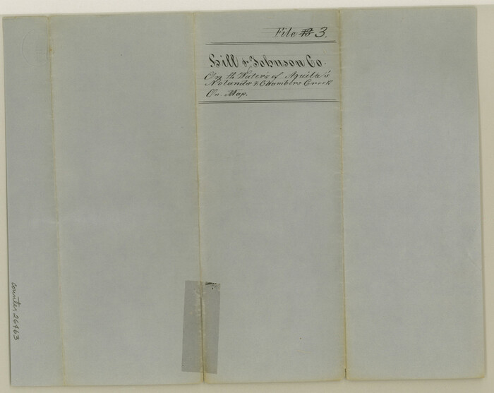

Print $2.00
- Digital $50.00
Hill County Sketch File 3
Size 8.3 x 10.4 inches
Map/Doc 26463
Sutton County Working Sketch 37
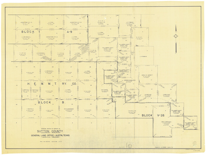

Print $20.00
- Digital $50.00
Sutton County Working Sketch 37
1947
Size 31.0 x 41.4 inches
Map/Doc 62380
United States including territories and insular possessions showing the extent of public surveys, national parks, national forests, indian reservations, national wildlife refuges, and reclamation projects


Print $40.00
- Digital $50.00
United States including territories and insular possessions showing the extent of public surveys, national parks, national forests, indian reservations, national wildlife refuges, and reclamation projects
1953
Size 64.5 x 44.5 inches
Map/Doc 65795
Cottle County Sketch File 5


Print $6.00
- Digital $50.00
Cottle County Sketch File 5
1883
Size 17.0 x 9.6 inches
Map/Doc 19474
Presidio County Rolled Sketch SM


Print $15.00
- Digital $50.00
Presidio County Rolled Sketch SM
1910
Size 9.5 x 15.0 inches
Map/Doc 48822
Pecos County Working Sketch Graphic Index - northeast part - sheet B
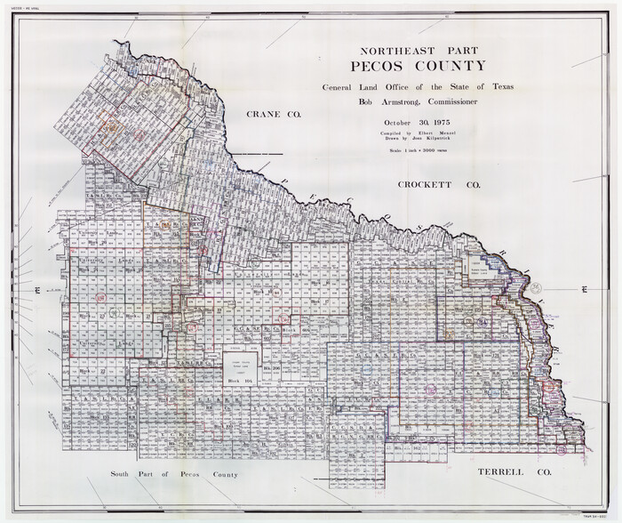

Print $20.00
- Digital $50.00
Pecos County Working Sketch Graphic Index - northeast part - sheet B
1975
Size 36.0 x 42.2 inches
Map/Doc 76667
Brazos County Working Sketch 9
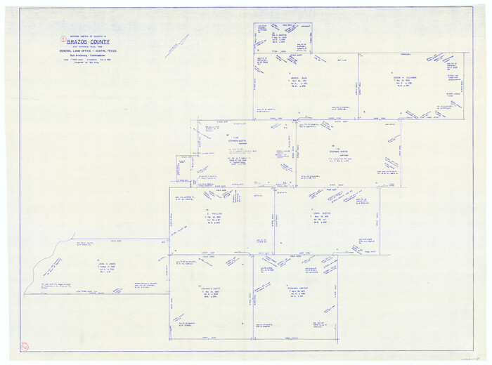

Print $20.00
- Digital $50.00
Brazos County Working Sketch 9
1982
Size 36.2 x 48.8 inches
Map/Doc 67484
McMullen County Working Sketch 49

Print $20.00
- Digital $50.00
McMullen County Working Sketch 49
1983
Size 12.8 x 14.6 inches
Map/Doc 70750
Fayette County Working Sketch 11

Print $20.00
- Digital $50.00
Fayette County Working Sketch 11
1990
Size 30.8 x 35.0 inches
Map/Doc 69175
You may also like
Tom Green County Sketch File 46 1/2


Print $40.00
- Digital $50.00
Tom Green County Sketch File 46 1/2
1882
Size 12.7 x 19.6 inches
Map/Doc 12440
Uvalde County Working Sketch 18


Print $20.00
- Digital $50.00
Uvalde County Working Sketch 18
1948
Size 33.0 x 26.5 inches
Map/Doc 72088
McCulloch County Rolled Sketch 3


Print $40.00
- Digital $50.00
McCulloch County Rolled Sketch 3
Size 85.5 x 20.8 inches
Map/Doc 9497
Garza County Rolled Sketch 11 & 11A


Print $31.00
- Digital $50.00
Garza County Rolled Sketch 11 & 11A
1915
Size 10.3 x 15.5 inches
Map/Doc 45214
Erath County Working Sketch 45


Print $20.00
- Digital $50.00
Erath County Working Sketch 45
1982
Size 25.5 x 24.8 inches
Map/Doc 69126
Lee County Working Sketch 21

Print $40.00
- Digital $50.00
Lee County Working Sketch 21
2009
Size 48.7 x 36.6 inches
Map/Doc 89258
Hemphill County Rolled Sketch MJ

Print $20.00
- Digital $50.00
Hemphill County Rolled Sketch MJ
Size 21.3 x 41.4 inches
Map/Doc 6201
Coke County Rolled Sketch 15A
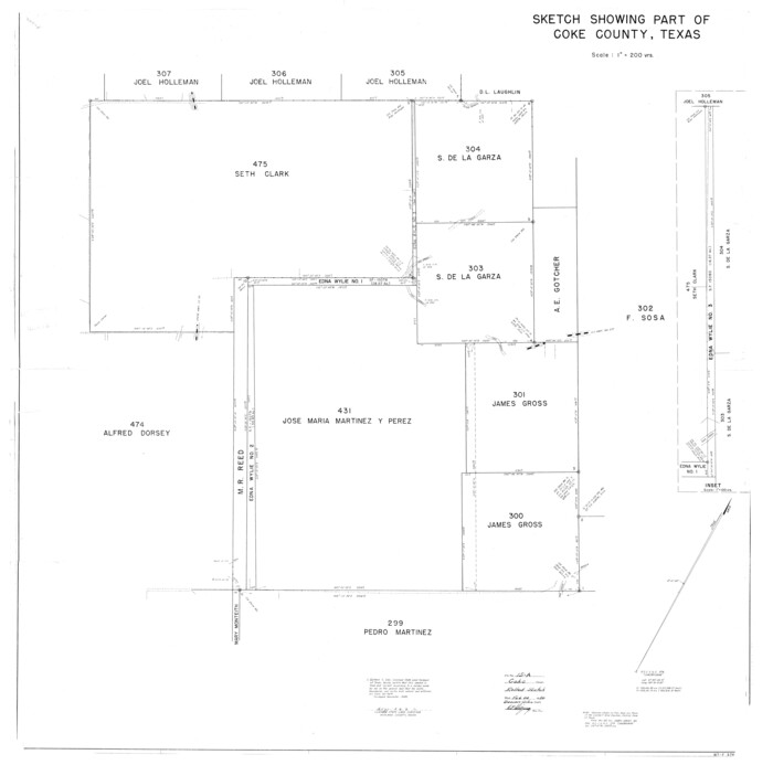

Print $20.00
- Digital $50.00
Coke County Rolled Sketch 15A
1949
Size 43.8 x 44.3 inches
Map/Doc 8629
O'Neall Terrace Annex, a Re-Subdivision of the South One-half of Blocks 25 and 31 and all of Blocks 30, 32, and 33 of McCrummen's Second Addition, Lubbock, Texas
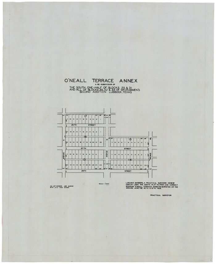

Print $20.00
- Digital $50.00
O'Neall Terrace Annex, a Re-Subdivision of the South One-half of Blocks 25 and 31 and all of Blocks 30, 32, and 33 of McCrummen's Second Addition, Lubbock, Texas
1928
Size 23.2 x 27.6 inches
Map/Doc 92747
Leon County, Texas


Print $20.00
- Digital $50.00
Leon County, Texas
1879
Size 25.6 x 22.3 inches
Map/Doc 563
Gray County Working Sketch 3
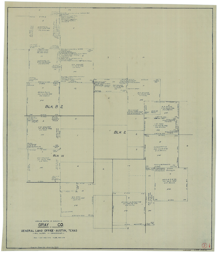

Print $20.00
- Digital $50.00
Gray County Working Sketch 3
1958
Size 36.4 x 31.8 inches
Map/Doc 63234
![64682, [Right of Way & Track Map, The Texas & Pacific Ry. Co. Main Line], General Map Collection](https://historictexasmaps.com/wmedia_w1800h1800/maps/64682.tif.jpg)
