[Right of Way & Track Map, The Texas & Pacific Ry. Co. Main Line]
Z-2-192
-
Map/Doc
64680
-
Collection
General Map Collection
-
Counties
Mitchell
-
Subjects
Railroads
-
Height x Width
11.0 x 19.0 inches
27.9 x 48.3 cm
-
Medium
photostat
-
Comments
See counters 64659 through 64691 for all segments.
-
Features
T&P
North Champlin Creek
Part of: General Map Collection
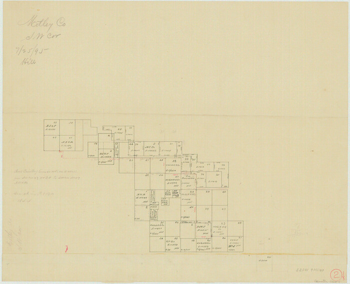
Motley County Working Sketch 2

Print $20.00
- Digital $50.00
Motley County Working Sketch 2
1895
Size 17.3 x 21.3 inches
Map/Doc 71207
Geographical, Statistical, and Historical Map of Mexico

Print $20.00
- Digital $50.00
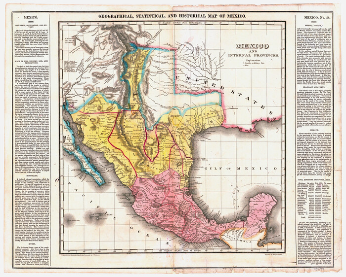
Geographical, Statistical, and Historical Map of Mexico
1822
Size 18.0 x 22.4 inches
Map/Doc 95694
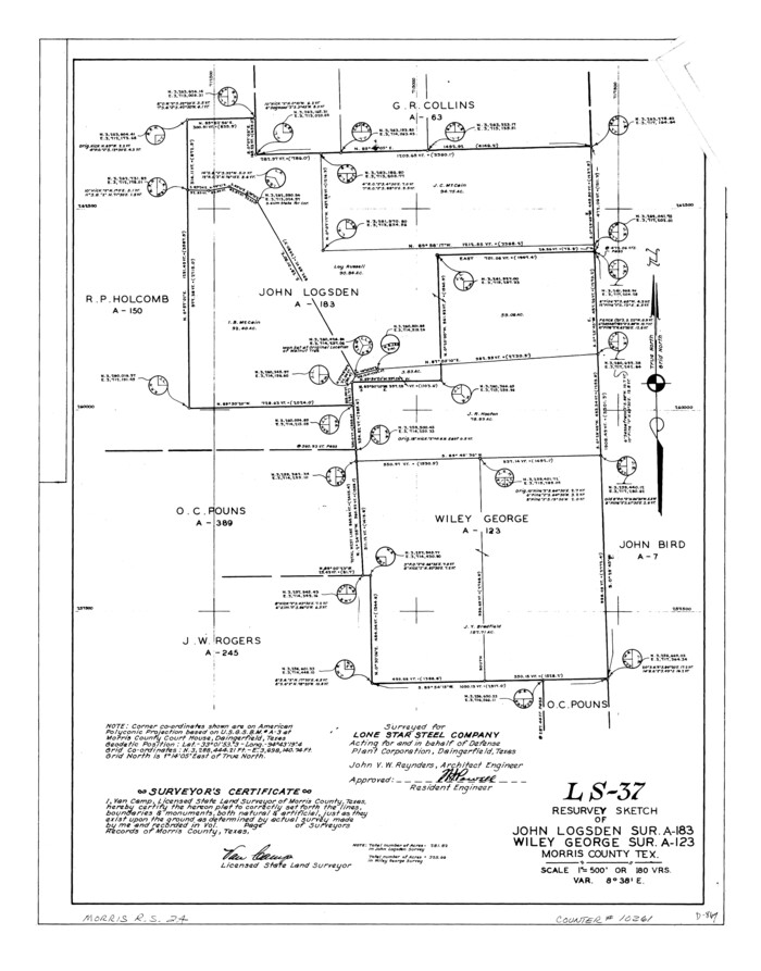
Morris County Rolled Sketch 2A

Print $20.00
- Digital $50.00
Morris County Rolled Sketch 2A
Size 24.1 x 18.9 inches
Map/Doc 10261
Flight Mission No. DQN-6K, Frame 16, Calhoun County


Print $20.00
- Digital $50.00
Flight Mission No. DQN-6K, Frame 16, Calhoun County
1953
Size 18.7 x 22.2 inches
Map/Doc 84438
Hood County Working Sketch 7
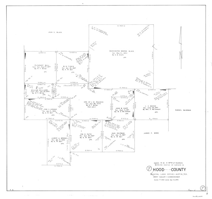

Print $20.00
- Digital $50.00
Hood County Working Sketch 7
1970
Size 29.4 x 31.2 inches
Map/Doc 66201
Karnes County Rolled Sketch 4
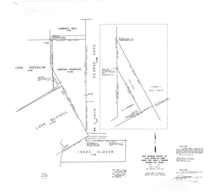

Print $20.00
- Digital $50.00
Karnes County Rolled Sketch 4
1961
Size 33.4 x 37.7 inches
Map/Doc 9667
[Galveston, Harrisburg & San Antonio Railroad from Cuero to Stockdale]
![64200, [Galveston, Harrisburg & San Antonio Railroad from Cuero to Stockdale], General Map Collection](https://historictexasmaps.com/wmedia_w700/maps/64200.tif.jpg)
![64200, [Galveston, Harrisburg & San Antonio Railroad from Cuero to Stockdale], General Map Collection](https://historictexasmaps.com/wmedia_w700/maps/64200.tif.jpg)
Print $20.00
- Digital $50.00
[Galveston, Harrisburg & San Antonio Railroad from Cuero to Stockdale]
1907
Size 14.0 x 34.1 inches
Map/Doc 64200
Tyler County Sketch File 4
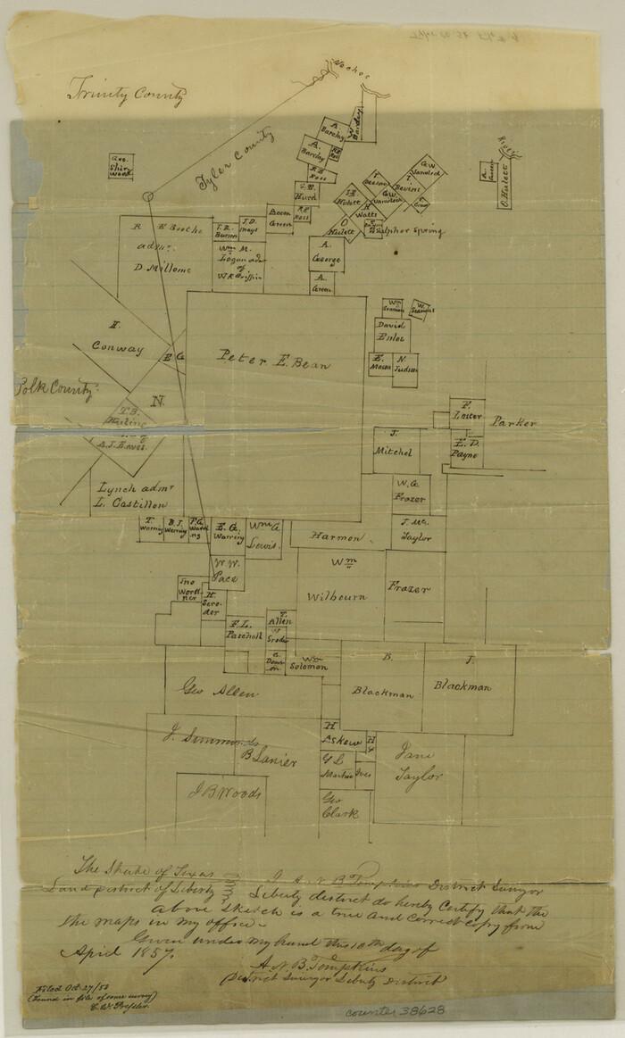

Print $4.00
- Digital $50.00
Tyler County Sketch File 4
1857
Size 13.9 x 8.4 inches
Map/Doc 38628
Potter County
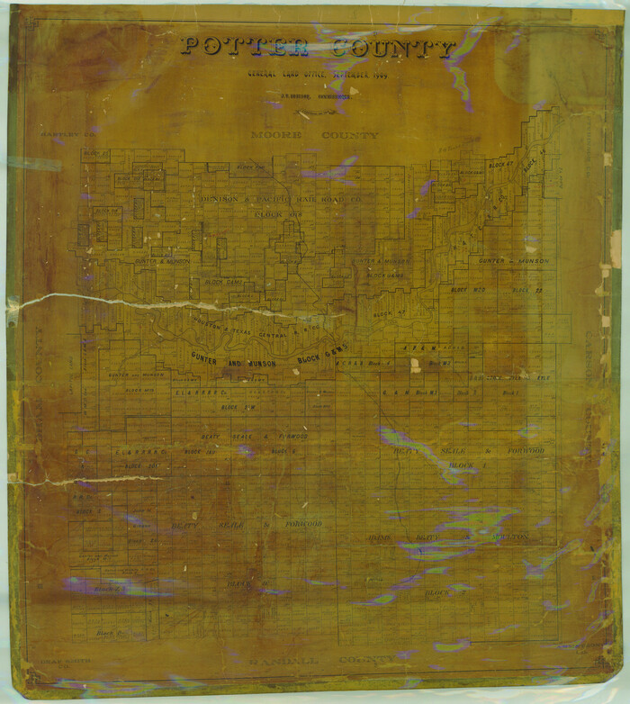

Print $20.00
- Digital $50.00
Potter County
1909
Size 45.3 x 40.6 inches
Map/Doc 16790
Duval County Sketch File 77


Print $20.00
- Digital $50.00
Duval County Sketch File 77
1967
Size 20.4 x 15.5 inches
Map/Doc 11411
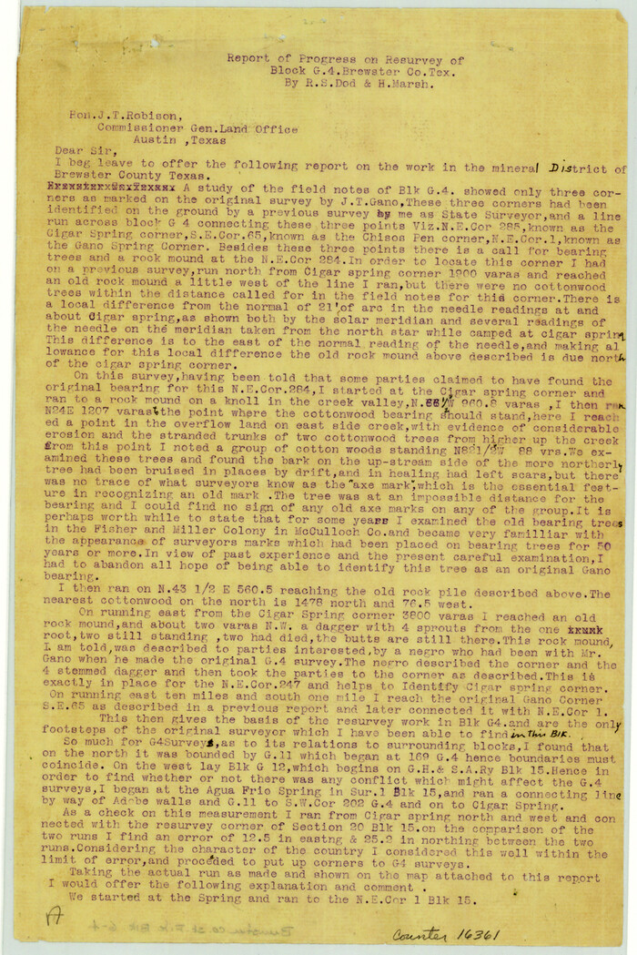
Brewster County Sketch File 53

Print $94.00
- Digital $50.00
Brewster County Sketch File 53
1910
Size 13.3 x 8.9 inches
Map/Doc 16361
Zavala County Rolled Sketch 16


Print $20.00
- Digital $50.00
Zavala County Rolled Sketch 16
Size 19.4 x 25.4 inches
Map/Doc 8321
You may also like
Brooks County Boundary File 1a


Print $40.00
- Digital $50.00
Brooks County Boundary File 1a
Size 63.8 x 7.1 inches
Map/Doc 50836
San Saba County Sketch File 11


Print $8.00
- Digital $50.00
San Saba County Sketch File 11
1882
Size 12.4 x 8.3 inches
Map/Doc 36435
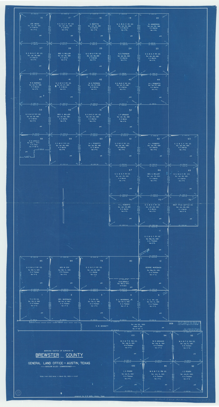
Brewster County Working Sketch 55

Print $40.00
- Digital $50.00
Brewster County Working Sketch 55
1953
Size 51.1 x 27.5 inches
Map/Doc 67656
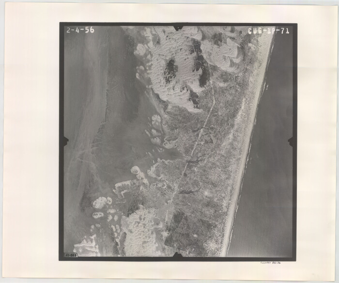
Flight Mission No. CUG-1P, Frame 71, Kleberg County

Print $20.00
- Digital $50.00
Flight Mission No. CUG-1P, Frame 71, Kleberg County
1956
Size 18.5 x 22.2 inches
Map/Doc 86136
Austin County Working Sketch 7
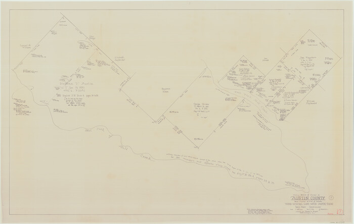

Print $40.00
- Digital $50.00
Austin County Working Sketch 7
1992
Size 30.9 x 48.8 inches
Map/Doc 67248
Dawson County Boundary File 3
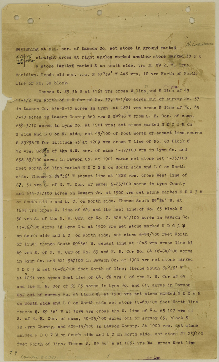

Print $36.00
- Digital $50.00
Dawson County Boundary File 3
Size 14.1 x 8.6 inches
Map/Doc 52347
Falls County Working Sketch 1


Print $20.00
- Digital $50.00
Falls County Working Sketch 1
1922
Size 23.0 x 33.1 inches
Map/Doc 69176
Texas and Northern Mexico
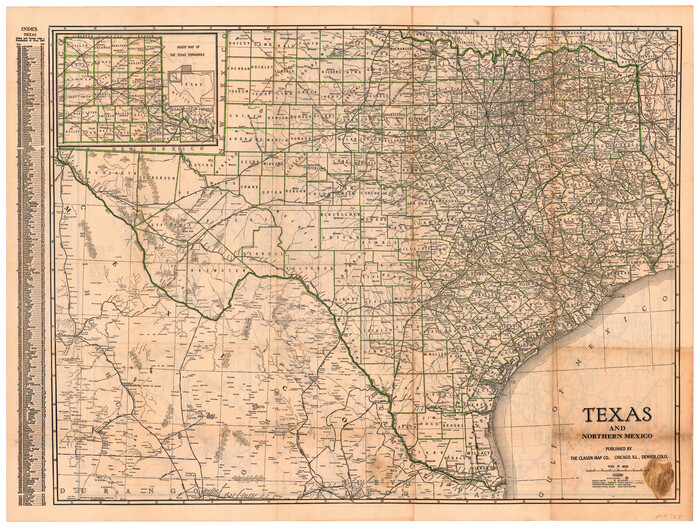

Print $20.00
- Digital $50.00
Texas and Northern Mexico
1900
Size 21.6 x 28.6 inches
Map/Doc 95895
Map of West Part of Pecos Co.


Print $20.00
- Digital $50.00
Map of West Part of Pecos Co.
1896
Size 47.4 x 39.3 inches
Map/Doc 66974
Milam County Working Sketch 14


Print $20.00
- Digital $50.00
Milam County Working Sketch 14
1904
Size 28.2 x 16.7 inches
Map/Doc 71029
Newton County Sketch File 20a


Print $8.00
- Digital $50.00
Newton County Sketch File 20a
Size 3.7 x 8.8 inches
Map/Doc 32397
![64680, [Right of Way & Track Map, The Texas & Pacific Ry. Co. Main Line], General Map Collection](https://historictexasmaps.com/wmedia_w1800h1800/maps/64680.tif.jpg)
