Mitchell County Sketch File 16b


Print $20.00
- Digital $50.00
Mitchell County Sketch File 16b
Size: 28.7 x 36.8 inches
10545
Nolan County Sketch File 2


Print $40.00
- Digital $50.00
Nolan County Sketch File 2
Size: 49.5 x 41.6 inches
10556
Nolan County Sketch File 4


Print $20.00
- Digital $50.00
Nolan County Sketch File 4
Size: 38.8 x 33.0 inches
10557
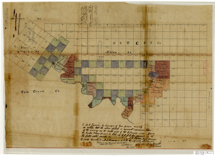
Coke County Sketch File 8

Print $20.00
- Digital $50.00
Coke County Sketch File 8
Size: 20.2 x 27.8 inches
11106
Fisher County Sketch File 10


Print $20.00
- Digital $50.00
Fisher County Sketch File 10
Size: 9.7 x 37.0 inches
11477
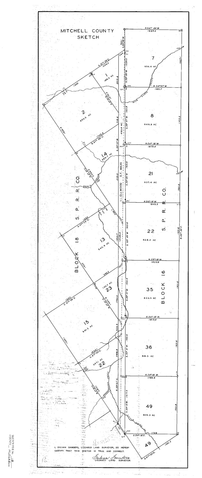
Mitchell County Sketch File 18

Print $20.00
- Digital $50.00
Mitchell County Sketch File 18
Size: 32.1 x 13.6 inches
12103
Scurry County Sketch File 3


Print $20.00
- Digital $50.00
Scurry County Sketch File 3
Size: 22.0 x 24.2 inches
12312
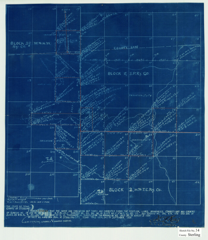
Sterling County Sketch File 14

Print $20.00
- Digital $50.00
Sterling County Sketch File 14
Size: 18.9 x 16.4 inches
12360
Mitchell County Sketch File 2


Print $22.00
- Digital $50.00
Mitchell County Sketch File 2
Size: 9.1 x 14.0 inches
31688
Mitchell County Sketch File 6


Print $40.00
- Digital $50.00
Mitchell County Sketch File 6
Size: 12.4 x 13.5 inches
31692
Map of Alabama and Texas Cattle Co's Pasture


Print $20.00
- Digital $50.00
Map of Alabama and Texas Cattle Co's Pasture
Size: 17.6 x 18.1 inches
5064
Mitchell County Boundary File 1


Print $38.00
- Digital $50.00
Mitchell County Boundary File 1
Size: 9.1 x 8.4 inches
57334
Mitchell County Boundary File 1a


Print $32.00
- Digital $50.00
Mitchell County Boundary File 1a
Size: 13.4 x 8.6 inches
57344
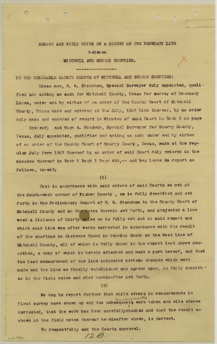
Mitchell County Boundary File 1b

Print $36.00
- Digital $50.00
Mitchell County Boundary File 1b
Size: 13.8 x 8.7 inches
57351
Mitchell County Boundary File 1c


Print $12.00
- Digital $50.00
Mitchell County Boundary File 1c
Size: 8.7 x 12.3 inches
57361
Mitchell County Boundary File 2
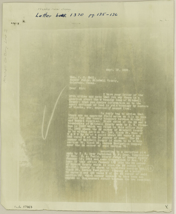

Print $4.00
- Digital $50.00
Mitchell County Boundary File 2
Size: 8.9 x 7.3 inches
57367
Mitchell County Boundary File 3
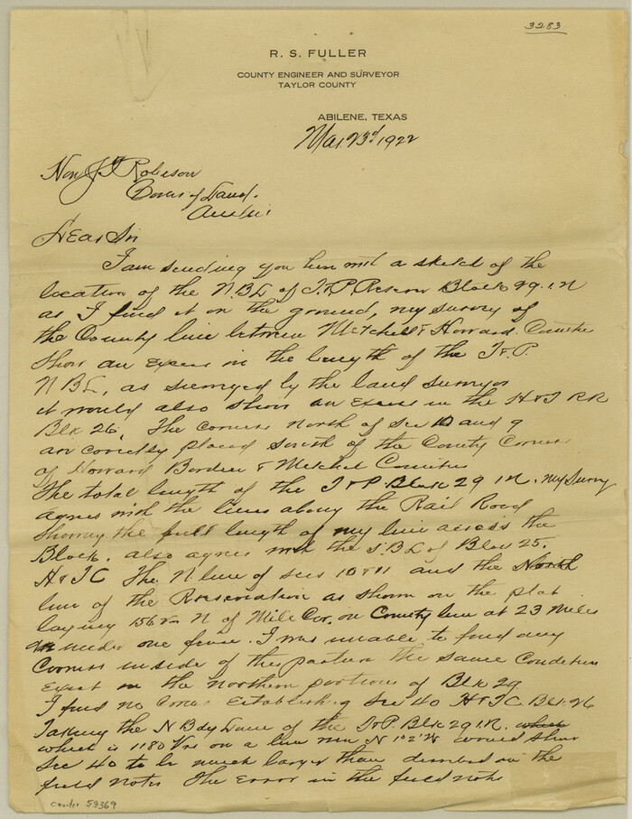

Print $6.00
- Digital $50.00
Mitchell County Boundary File 3
Size: 11.2 x 8.6 inches
57369
Mitchell County Boundary File 66


Print $13.00
- Digital $50.00
Mitchell County Boundary File 66
Size: 7.9 x 3.7 inches
57372
Mitchell County Boundary File 66a


Print $11.00
- Digital $50.00
Mitchell County Boundary File 66a
Size: 12.6 x 8.3 inches
57378
Mitchell County Boundary File 66b


Print $15.00
- Digital $50.00
Mitchell County Boundary File 66b
Size: 12.7 x 8.3 inches
57383
Mitchell County Boundary File 66c
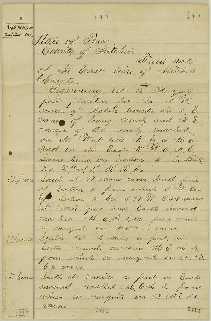

Print $19.00
- Digital $50.00
Mitchell County Boundary File 66c
Size: 12.7 x 8.3 inches
57390
Howard County Rolled Sketch 12
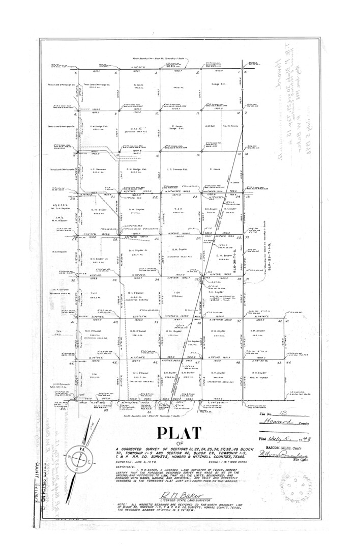

Print $20.00
- Digital $50.00
Howard County Rolled Sketch 12
Size: 25.8 x 16.5 inches
6243
Map of the Texas & Pacific Railway from Fort Worth to El Paso


Print $40.00
- Digital $50.00
Map of the Texas & Pacific Railway from Fort Worth to El Paso
Size: 24.0 x 76.5 inches
64511
[Right of Way & Track Map, The Texas & Pacific Ry. Co. Main Line]
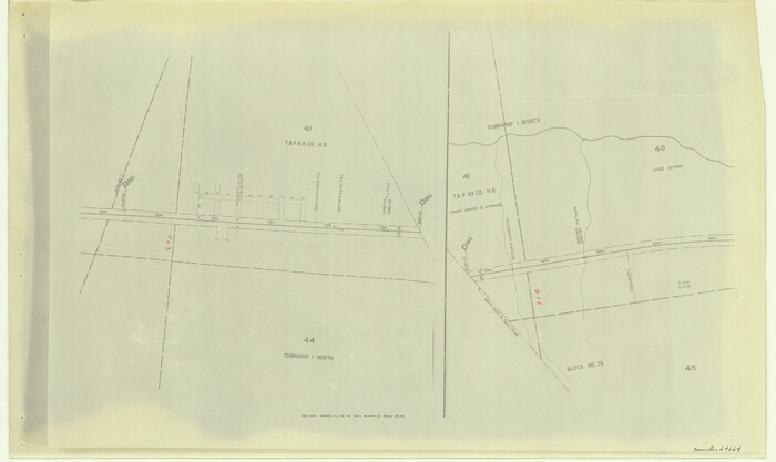

Print $20.00
- Digital $50.00
[Right of Way & Track Map, The Texas & Pacific Ry. Co. Main Line]
Size: 11.0 x 18.5 inches
64664
[Right of Way & Track Map, The Texas & Pacific Ry. Co. Main Line]
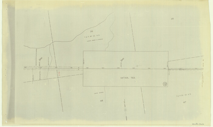

Print $20.00
- Digital $50.00
[Right of Way & Track Map, The Texas & Pacific Ry. Co. Main Line]
Size: 11.0 x 18.4 inches
64665
[Right of Way & Track Map, The Texas & Pacific Ry. Co. Main Line]
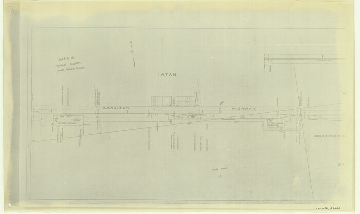

Print $20.00
- Digital $50.00
[Right of Way & Track Map, The Texas & Pacific Ry. Co. Main Line]
Size: 11.0 x 18.5 inches
64666
[Right of Way & Track Map, The Texas & Pacific Ry. Co. Main Line]
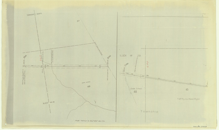

Print $20.00
- Digital $50.00
[Right of Way & Track Map, The Texas & Pacific Ry. Co. Main Line]
Size: 11.0 x 18.4 inches
64668
[Right of Way & Track Map, The Texas & Pacific Ry. Co. Main Line]
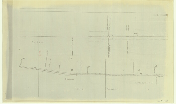

Print $20.00
- Digital $50.00
[Right of Way & Track Map, The Texas & Pacific Ry. Co. Main Line]
Size: 11.0 x 18.5 inches
64669
[Right of Way & Track Map, The Texas & Pacific Ry. Co. Main Line]
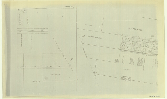

Print $20.00
- Digital $50.00
[Right of Way & Track Map, The Texas & Pacific Ry. Co. Main Line]
Size: 11.0 x 18.5 inches
64670
[Right of Way & Track Map, The Texas & Pacific Ry. Co. Main Line]
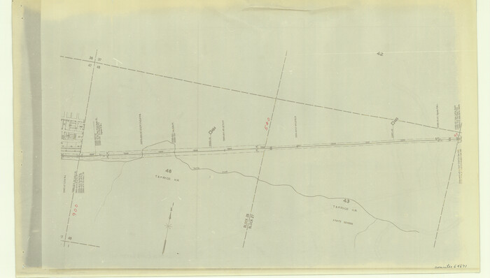

Print $20.00
- Digital $50.00
[Right of Way & Track Map, The Texas & Pacific Ry. Co. Main Line]
Size: 10.8 x 19.0 inches
64671
Mitchell County Sketch File 16b


Print $20.00
- Digital $50.00
Mitchell County Sketch File 16b
-
Size
28.7 x 36.8 inches
-
Map/Doc
10545
Nolan County Sketch File 2


Print $40.00
- Digital $50.00
Nolan County Sketch File 2
-
Size
49.5 x 41.6 inches
-
Map/Doc
10556
Nolan County Sketch File 4


Print $20.00
- Digital $50.00
Nolan County Sketch File 4
-
Size
38.8 x 33.0 inches
-
Map/Doc
10557
Coke County Sketch File 8


Print $20.00
- Digital $50.00
Coke County Sketch File 8
-
Size
20.2 x 27.8 inches
-
Map/Doc
11106
Fisher County Sketch File 10


Print $20.00
- Digital $50.00
Fisher County Sketch File 10
-
Size
9.7 x 37.0 inches
-
Map/Doc
11477
Mitchell County Sketch File 18


Print $20.00
- Digital $50.00
Mitchell County Sketch File 18
-
Size
32.1 x 13.6 inches
-
Map/Doc
12103
Scurry County Sketch File 3


Print $20.00
- Digital $50.00
Scurry County Sketch File 3
-
Size
22.0 x 24.2 inches
-
Map/Doc
12312
Sterling County Sketch File 14


Print $20.00
- Digital $50.00
Sterling County Sketch File 14
-
Size
18.9 x 16.4 inches
-
Map/Doc
12360
Mitchell County Sketch File 2


Print $22.00
- Digital $50.00
Mitchell County Sketch File 2
-
Size
9.1 x 14.0 inches
-
Map/Doc
31688
Mitchell County Sketch File 6


Print $40.00
- Digital $50.00
Mitchell County Sketch File 6
-
Size
12.4 x 13.5 inches
-
Map/Doc
31692
Map of Alabama and Texas Cattle Co's Pasture


Print $20.00
- Digital $50.00
Map of Alabama and Texas Cattle Co's Pasture
-
Size
17.6 x 18.1 inches
-
Map/Doc
5064
Mitchell County Boundary File 1


Print $38.00
- Digital $50.00
Mitchell County Boundary File 1
-
Size
9.1 x 8.4 inches
-
Map/Doc
57334
Mitchell County Boundary File 1a


Print $32.00
- Digital $50.00
Mitchell County Boundary File 1a
-
Size
13.4 x 8.6 inches
-
Map/Doc
57344
Mitchell County Boundary File 1b


Print $36.00
- Digital $50.00
Mitchell County Boundary File 1b
-
Size
13.8 x 8.7 inches
-
Map/Doc
57351
Mitchell County Boundary File 1c


Print $12.00
- Digital $50.00
Mitchell County Boundary File 1c
-
Size
8.7 x 12.3 inches
-
Map/Doc
57361
Mitchell County Boundary File 2


Print $4.00
- Digital $50.00
Mitchell County Boundary File 2
-
Size
8.9 x 7.3 inches
-
Map/Doc
57367
Mitchell County Boundary File 3


Print $6.00
- Digital $50.00
Mitchell County Boundary File 3
-
Size
11.2 x 8.6 inches
-
Map/Doc
57369
Mitchell County Boundary File 66


Print $13.00
- Digital $50.00
Mitchell County Boundary File 66
-
Size
7.9 x 3.7 inches
-
Map/Doc
57372
Mitchell County Boundary File 66a


Print $11.00
- Digital $50.00
Mitchell County Boundary File 66a
-
Size
12.6 x 8.3 inches
-
Map/Doc
57378
Mitchell County Boundary File 66b


Print $15.00
- Digital $50.00
Mitchell County Boundary File 66b
-
Size
12.7 x 8.3 inches
-
Map/Doc
57383
Mitchell County Boundary File 66c


Print $19.00
- Digital $50.00
Mitchell County Boundary File 66c
-
Size
12.7 x 8.3 inches
-
Map/Doc
57390
Howard County Rolled Sketch 12


Print $20.00
- Digital $50.00
Howard County Rolled Sketch 12
-
Size
25.8 x 16.5 inches
-
Map/Doc
6243
Map of the Texas & Pacific Railway from Fort Worth to El Paso


Print $40.00
- Digital $50.00
Map of the Texas & Pacific Railway from Fort Worth to El Paso
-
Size
24.0 x 76.5 inches
-
Map/Doc
64511
[Right of Way & Track Map, The Texas & Pacific Ry. Co. Main Line]
![64664, [Right of Way & Track Map, The Texas & Pacific Ry. Co. Main Line], General Map Collection](https://historictexasmaps.com/wmedia_w700/maps/64664.tif.jpg)
![64664, [Right of Way & Track Map, The Texas & Pacific Ry. Co. Main Line], General Map Collection](https://historictexasmaps.com/wmedia_w700/maps/64664.tif.jpg)
Print $20.00
- Digital $50.00
[Right of Way & Track Map, The Texas & Pacific Ry. Co. Main Line]
-
Size
11.0 x 18.5 inches
-
Map/Doc
64664
[Right of Way & Track Map, The Texas & Pacific Ry. Co. Main Line]
![64665, [Right of Way & Track Map, The Texas & Pacific Ry. Co. Main Line], General Map Collection](https://historictexasmaps.com/wmedia_w700/maps/64665.tif.jpg)
![64665, [Right of Way & Track Map, The Texas & Pacific Ry. Co. Main Line], General Map Collection](https://historictexasmaps.com/wmedia_w700/maps/64665.tif.jpg)
Print $20.00
- Digital $50.00
[Right of Way & Track Map, The Texas & Pacific Ry. Co. Main Line]
-
Size
11.0 x 18.4 inches
-
Map/Doc
64665
[Right of Way & Track Map, The Texas & Pacific Ry. Co. Main Line]
![64666, [Right of Way & Track Map, The Texas & Pacific Ry. Co. Main Line], General Map Collection](https://historictexasmaps.com/wmedia_w700/maps/64666.tif.jpg)
![64666, [Right of Way & Track Map, The Texas & Pacific Ry. Co. Main Line], General Map Collection](https://historictexasmaps.com/wmedia_w700/maps/64666.tif.jpg)
Print $20.00
- Digital $50.00
[Right of Way & Track Map, The Texas & Pacific Ry. Co. Main Line]
-
Size
11.0 x 18.5 inches
-
Map/Doc
64666
[Right of Way & Track Map, The Texas & Pacific Ry. Co. Main Line]
![64668, [Right of Way & Track Map, The Texas & Pacific Ry. Co. Main Line], General Map Collection](https://historictexasmaps.com/wmedia_w700/maps/64668.tif.jpg)
![64668, [Right of Way & Track Map, The Texas & Pacific Ry. Co. Main Line], General Map Collection](https://historictexasmaps.com/wmedia_w700/maps/64668.tif.jpg)
Print $20.00
- Digital $50.00
[Right of Way & Track Map, The Texas & Pacific Ry. Co. Main Line]
-
Size
11.0 x 18.4 inches
-
Map/Doc
64668
[Right of Way & Track Map, The Texas & Pacific Ry. Co. Main Line]
![64669, [Right of Way & Track Map, The Texas & Pacific Ry. Co. Main Line], General Map Collection](https://historictexasmaps.com/wmedia_w700/maps/64669.tif.jpg)
![64669, [Right of Way & Track Map, The Texas & Pacific Ry. Co. Main Line], General Map Collection](https://historictexasmaps.com/wmedia_w700/maps/64669.tif.jpg)
Print $20.00
- Digital $50.00
[Right of Way & Track Map, The Texas & Pacific Ry. Co. Main Line]
-
Size
11.0 x 18.5 inches
-
Map/Doc
64669
[Right of Way & Track Map, The Texas & Pacific Ry. Co. Main Line]
![64670, [Right of Way & Track Map, The Texas & Pacific Ry. Co. Main Line], General Map Collection](https://historictexasmaps.com/wmedia_w700/maps/64670.tif.jpg)
![64670, [Right of Way & Track Map, The Texas & Pacific Ry. Co. Main Line], General Map Collection](https://historictexasmaps.com/wmedia_w700/maps/64670.tif.jpg)
Print $20.00
- Digital $50.00
[Right of Way & Track Map, The Texas & Pacific Ry. Co. Main Line]
-
Size
11.0 x 18.5 inches
-
Map/Doc
64670
[Right of Way & Track Map, The Texas & Pacific Ry. Co. Main Line]
![64671, [Right of Way & Track Map, The Texas & Pacific Ry. Co. Main Line], General Map Collection](https://historictexasmaps.com/wmedia_w700/maps/64671.tif.jpg)
![64671, [Right of Way & Track Map, The Texas & Pacific Ry. Co. Main Line], General Map Collection](https://historictexasmaps.com/wmedia_w700/maps/64671.tif.jpg)
Print $20.00
- Digital $50.00
[Right of Way & Track Map, The Texas & Pacific Ry. Co. Main Line]
-
Size
10.8 x 19.0 inches
-
Map/Doc
64671