Panola County Working Sketch 40


Print $20.00
- Digital $50.00
Panola County Working Sketch 40
1995
71449
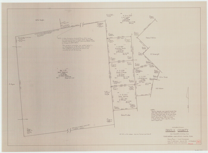
Panola County Working Sketch 41

Print $20.00
- Digital $50.00
Panola County Working Sketch 41
1995
71450
Panola County Working Sketch 39


Print $20.00
- Digital $50.00
Panola County Working Sketch 39
1992
71448
Panola County Working Sketch 38


Print $20.00
- Digital $50.00
Panola County Working Sketch 38
1991
71447
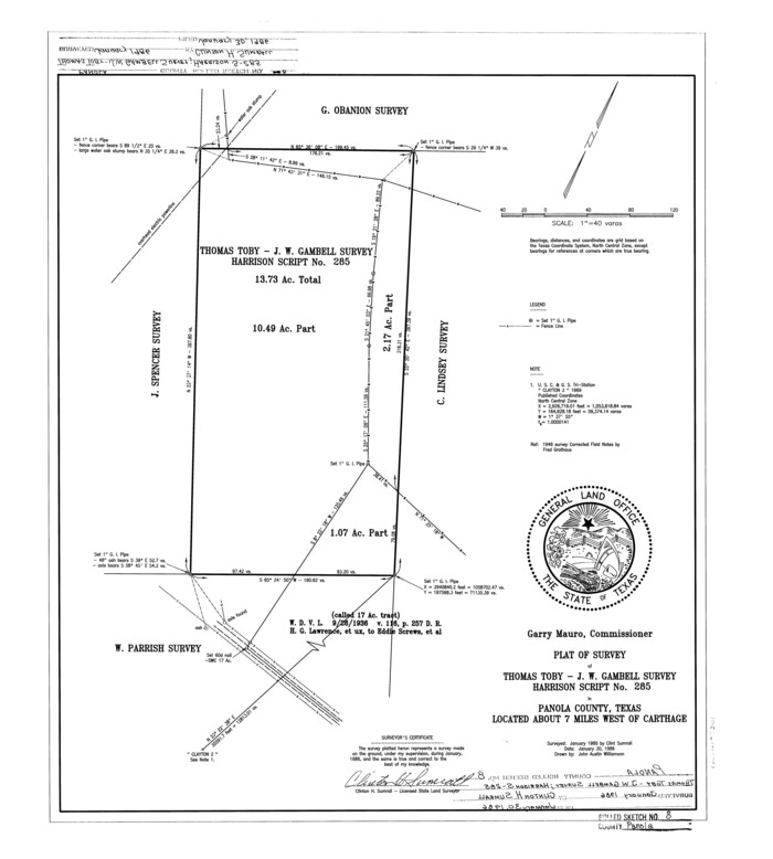
Panola County Rolled Sketch 8

Print $20.00
- Digital $50.00
Panola County Rolled Sketch 8
1986
Size: 20.1 x 18.0 inches
7201
Shelby County Working Sketch 24


Print $20.00
- Digital $50.00
Shelby County Working Sketch 24
1985
Size: 38.3 x 39.0 inches
63878
Panola County Working Sketch 37


Print $20.00
- Digital $50.00
Panola County Working Sketch 37
1984
71446
Panola County Working Sketch 36


Print $40.00
- Digital $50.00
Panola County Working Sketch 36
1984
71445
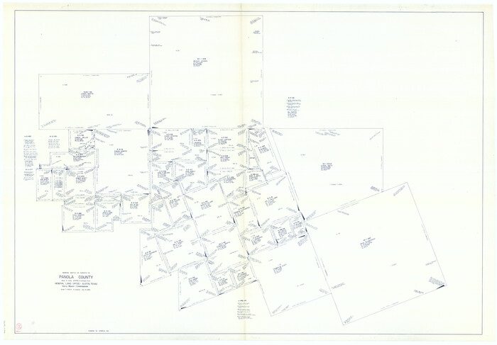
Panola County Working Sketch 35

Print $40.00
- Digital $50.00
Panola County Working Sketch 35
1983
71444
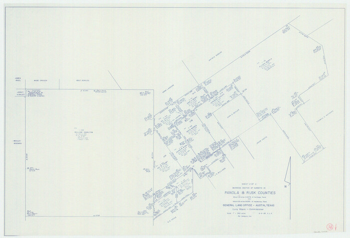
Panola County Working Sketch 34

Print $20.00
- Digital $50.00
Panola County Working Sketch 34
1983
71443
Panola County Working Sketch 33


Print $40.00
- Digital $50.00
Panola County Working Sketch 33
1983
71442
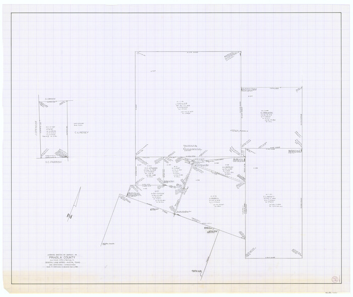
Panola County Working Sketch 32

Print $20.00
- Digital $50.00
Panola County Working Sketch 32
1982
71441
Panola County Working Sketch 31


Print $20.00
- Digital $50.00
Panola County Working Sketch 31
1981
71440
Panola County Working Sketch 30


Print $20.00
- Digital $50.00
Panola County Working Sketch 30
1981
71439
Panola County Working Sketch 29


Print $20.00
- Digital $50.00
Panola County Working Sketch 29
1980
71438
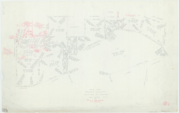
Panola County Working Sketch 28

Print $20.00
- Digital $50.00
Panola County Working Sketch 28
1977
71437
Rusk County Working Sketch 15


Print $20.00
- Digital $50.00
Rusk County Working Sketch 15
1972
Size: 29.6 x 43.8 inches
63650
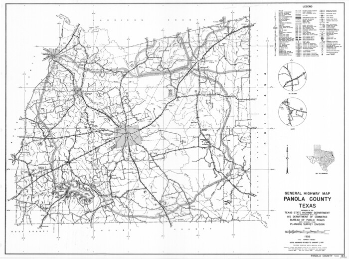
General Highway Map, Panola County, Texas

Print $20.00
General Highway Map, Panola County, Texas
1961
Size: 18.1 x 24.5 inches
79624
Panola County Working Sketch 26


Print $20.00
- Digital $50.00
Panola County Working Sketch 26
1958
71435
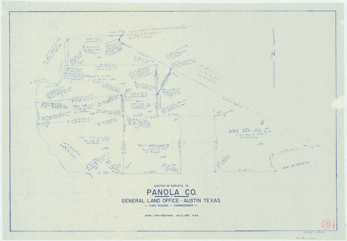
Panola County Working Sketch 25

Print $20.00
- Digital $50.00
Panola County Working Sketch 25
1957
71434
Panola County Rolled Sketch 7


Print $20.00
- Digital $50.00
Panola County Rolled Sketch 7
1957
Size: 19.4 x 27.8 inches
7199
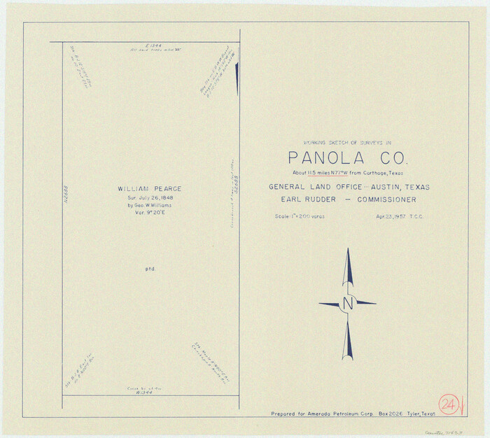
Panola County Working Sketch 24

Print $20.00
- Digital $50.00
Panola County Working Sketch 24
1957
71433
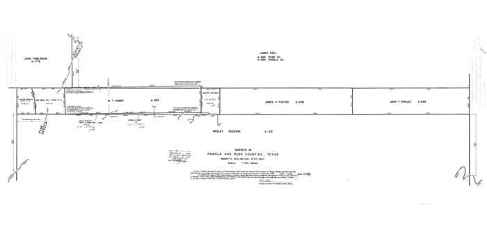
Panola County Rolled Sketch 6

Print $40.00
- Digital $50.00
Panola County Rolled Sketch 6
1956
Size: 26.0 x 55.7 inches
9679
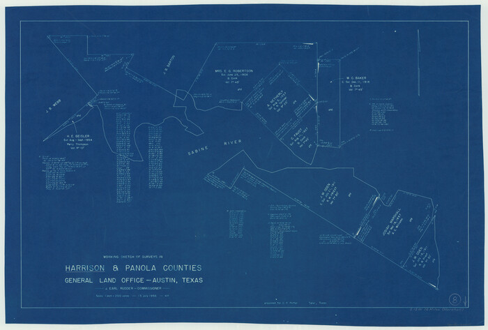
Harrison County Working Sketch 8

Print $20.00
- Digital $50.00
Harrison County Working Sketch 8
1956
Size: 20.6 x 30.5 inches
66028
Panola County Working Sketch 27


Print $20.00
- Digital $50.00
Panola County Working Sketch 27
1956
71436
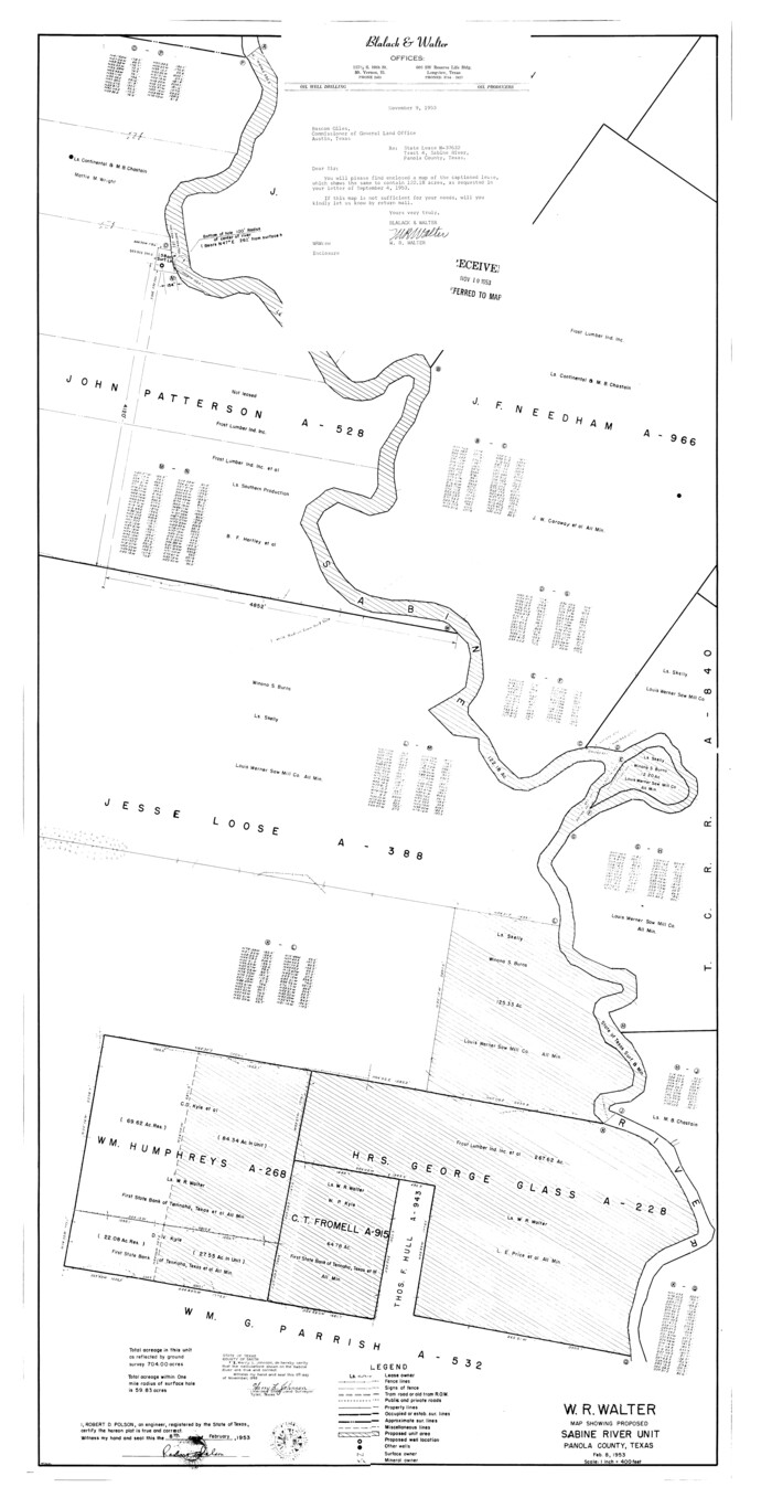
Panola County Rolled Sketch 4A

Print $40.00
- Digital $50.00
Panola County Rolled Sketch 4A
1953
Size: 50.7 x 26.1 inches
10727
Panola County Rolled Sketch 4A
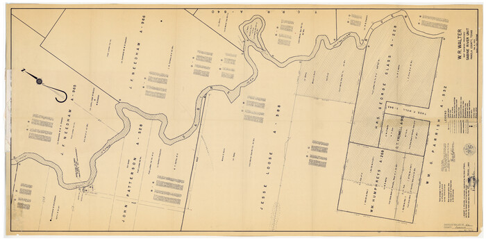

Print $40.00
- Digital $50.00
Panola County Rolled Sketch 4A
1953
Size: 50.0 x 24.8 inches
9677
Panola County Rolled Sketch 4
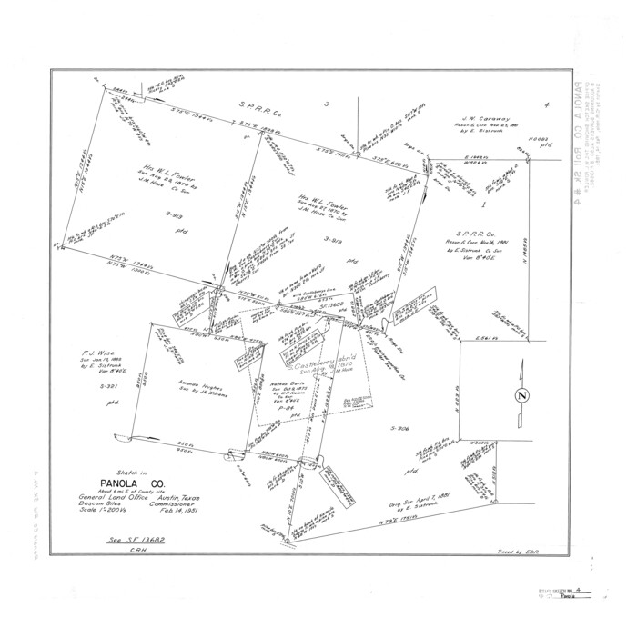

Print $20.00
- Digital $50.00
Panola County Rolled Sketch 4
1951
Size: 25.4 x 26.1 inches
7198
Panola County Working Sketch 23


Print $20.00
- Digital $50.00
Panola County Working Sketch 23
1951
71432
Panola County Working Sketch 22
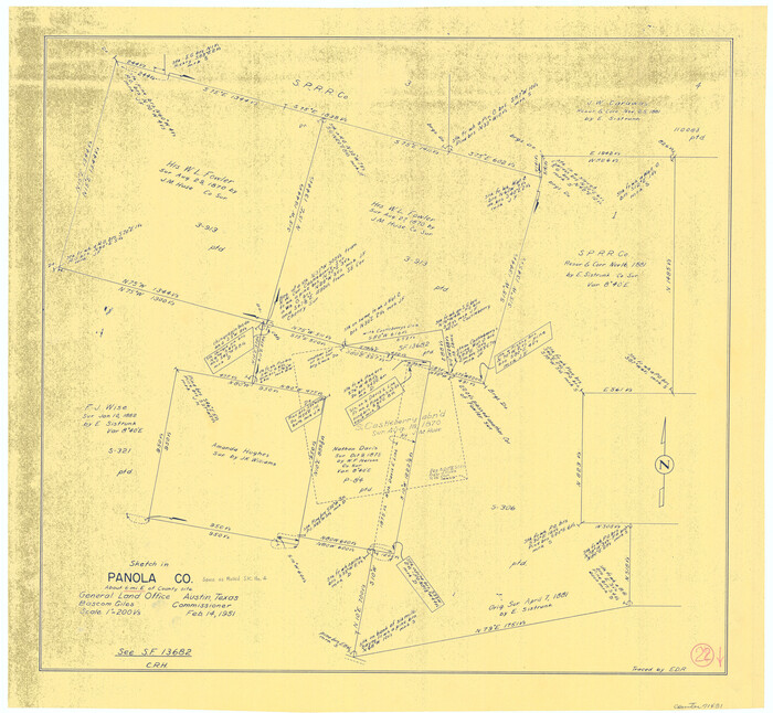

Print $20.00
- Digital $50.00
Panola County Working Sketch 22
1951
71431
Panola County Working Sketch 40


Print $20.00
- Digital $50.00
Panola County Working Sketch 40
1995
-
Map/Doc
71449
-
Creation Date
1995
Panola County Working Sketch 41


Print $20.00
- Digital $50.00
Panola County Working Sketch 41
1995
-
Map/Doc
71450
-
Creation Date
1995
Panola County Working Sketch 39


Print $20.00
- Digital $50.00
Panola County Working Sketch 39
1992
-
Map/Doc
71448
-
Creation Date
1992
Panola County Working Sketch 38


Print $20.00
- Digital $50.00
Panola County Working Sketch 38
1991
-
Map/Doc
71447
-
Creation Date
1991
Panola County Rolled Sketch 8


Print $20.00
- Digital $50.00
Panola County Rolled Sketch 8
1986
-
Size
20.1 x 18.0 inches
-
Map/Doc
7201
-
Creation Date
1986
Shelby County Working Sketch 24


Print $20.00
- Digital $50.00
Shelby County Working Sketch 24
1985
-
Size
38.3 x 39.0 inches
-
Map/Doc
63878
-
Creation Date
1985
Panola County Working Sketch 37


Print $20.00
- Digital $50.00
Panola County Working Sketch 37
1984
-
Map/Doc
71446
-
Creation Date
1984
Panola County Working Sketch 36


Print $40.00
- Digital $50.00
Panola County Working Sketch 36
1984
-
Map/Doc
71445
-
Creation Date
1984
Panola County Working Sketch 35


Print $40.00
- Digital $50.00
Panola County Working Sketch 35
1983
-
Map/Doc
71444
-
Creation Date
1983
Panola County Working Sketch 34


Print $20.00
- Digital $50.00
Panola County Working Sketch 34
1983
-
Map/Doc
71443
-
Creation Date
1983
Panola County Working Sketch 33


Print $40.00
- Digital $50.00
Panola County Working Sketch 33
1983
-
Map/Doc
71442
-
Creation Date
1983
Panola County Working Sketch 32


Print $20.00
- Digital $50.00
Panola County Working Sketch 32
1982
-
Map/Doc
71441
-
Creation Date
1982
Panola County Working Sketch 31


Print $20.00
- Digital $50.00
Panola County Working Sketch 31
1981
-
Map/Doc
71440
-
Creation Date
1981
Panola County Working Sketch 30


Print $20.00
- Digital $50.00
Panola County Working Sketch 30
1981
-
Map/Doc
71439
-
Creation Date
1981
Panola County Working Sketch 29


Print $20.00
- Digital $50.00
Panola County Working Sketch 29
1980
-
Map/Doc
71438
-
Creation Date
1980
Panola County Working Sketch 28


Print $20.00
- Digital $50.00
Panola County Working Sketch 28
1977
-
Map/Doc
71437
-
Creation Date
1977
Rusk County Working Sketch 15


Print $20.00
- Digital $50.00
Rusk County Working Sketch 15
1972
-
Size
29.6 x 43.8 inches
-
Map/Doc
63650
-
Creation Date
1972
General Highway Map, Panola County, Texas


Print $20.00
General Highway Map, Panola County, Texas
1961
-
Size
18.1 x 24.5 inches
-
Map/Doc
79624
-
Creation Date
1961
Panola County Working Sketch 26


Print $20.00
- Digital $50.00
Panola County Working Sketch 26
1958
-
Map/Doc
71435
-
Creation Date
1958
Panola County Working Sketch 25


Print $20.00
- Digital $50.00
Panola County Working Sketch 25
1957
-
Map/Doc
71434
-
Creation Date
1957
Panola County Rolled Sketch 7


Print $20.00
- Digital $50.00
Panola County Rolled Sketch 7
1957
-
Size
19.4 x 27.8 inches
-
Map/Doc
7199
-
Creation Date
1957
Panola County Working Sketch 24


Print $20.00
- Digital $50.00
Panola County Working Sketch 24
1957
-
Map/Doc
71433
-
Creation Date
1957
Panola County Rolled Sketch 6


Print $40.00
- Digital $50.00
Panola County Rolled Sketch 6
1956
-
Size
26.0 x 55.7 inches
-
Map/Doc
9679
-
Creation Date
1956
Harrison County Working Sketch 8


Print $20.00
- Digital $50.00
Harrison County Working Sketch 8
1956
-
Size
20.6 x 30.5 inches
-
Map/Doc
66028
-
Creation Date
1956
Panola County Working Sketch 27


Print $20.00
- Digital $50.00
Panola County Working Sketch 27
1956
-
Map/Doc
71436
-
Creation Date
1956
Panola County Rolled Sketch 4A


Print $40.00
- Digital $50.00
Panola County Rolled Sketch 4A
1953
-
Size
50.7 x 26.1 inches
-
Map/Doc
10727
-
Creation Date
1953
Panola County Rolled Sketch 4A


Print $40.00
- Digital $50.00
Panola County Rolled Sketch 4A
1953
-
Size
50.0 x 24.8 inches
-
Map/Doc
9677
-
Creation Date
1953
Panola County Rolled Sketch 4


Print $20.00
- Digital $50.00
Panola County Rolled Sketch 4
1951
-
Size
25.4 x 26.1 inches
-
Map/Doc
7198
-
Creation Date
1951
Panola County Working Sketch 23


Print $20.00
- Digital $50.00
Panola County Working Sketch 23
1951
-
Map/Doc
71432
-
Creation Date
1951
Panola County Working Sketch 22


Print $20.00
- Digital $50.00
Panola County Working Sketch 22
1951
-
Map/Doc
71431
-
Creation Date
1951