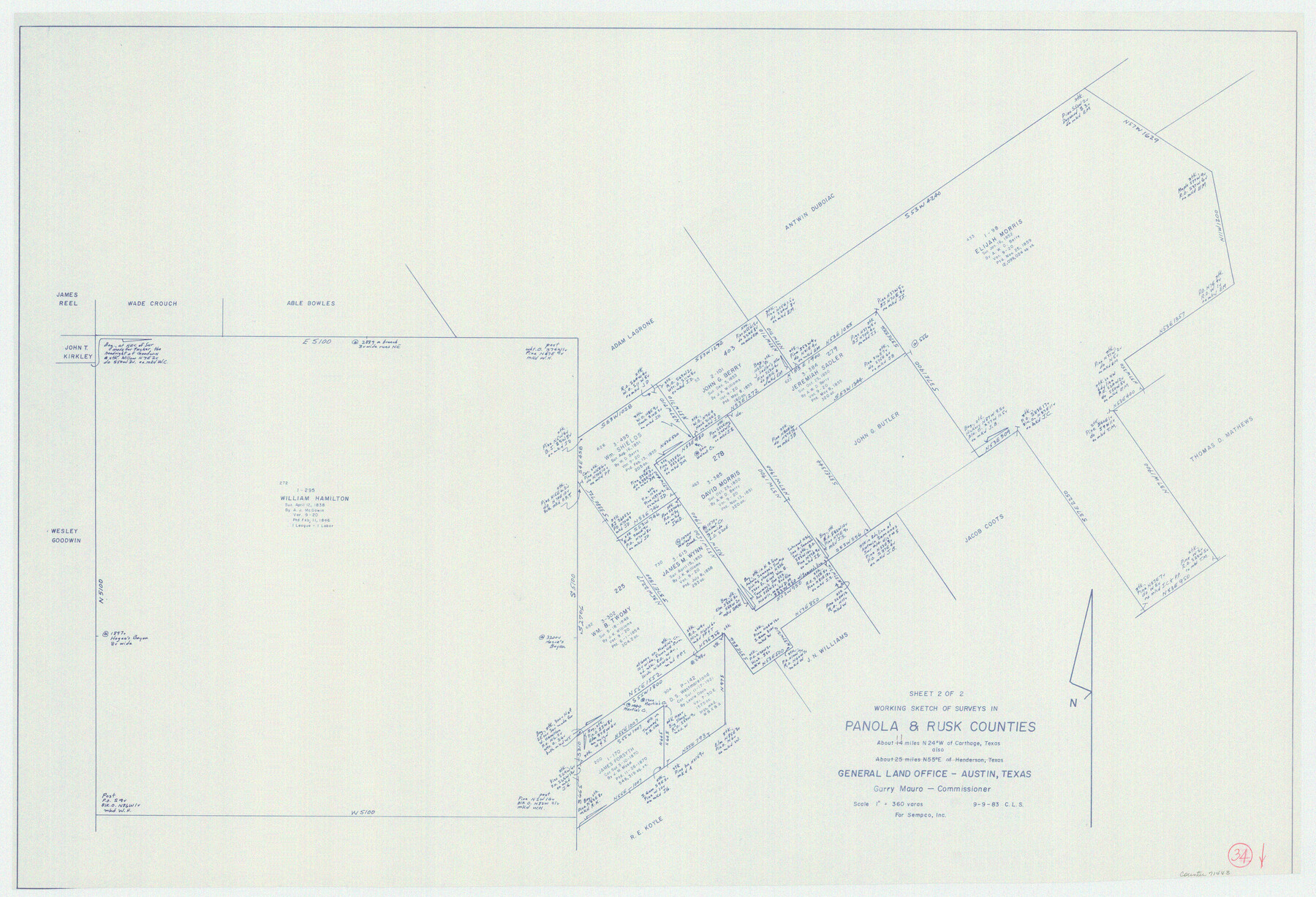
Panola County Working Sketch 34
-
Map/Doc
71443
-
Collection
General Map Collection
-
Object Dates
9/9/1983 (Creation Date)
-
People and Organizations
Crockett L. Slover (Draftsman)
-
Counties
Panola Rusk
-
Subjects
Surveying Working Sketch
-
Scale
1" = 360 varas
Part of: General Map Collection
Texas Pacific Land Trust, Preliminary Plat Blocks 64-65-66 Tsp. 7 & 8 T&P RR Co. Surveys

Print $40.00
- Digital $50.00
Texas Pacific Land Trust, Preliminary Plat Blocks 64-65-66 Tsp. 7 & 8 T&P RR Co. Surveys
1962
Size 54.6 x 43.0 inches
Map/Doc 87210
Foard County Working Sketch 10

Print $20.00
- Digital $50.00
Foard County Working Sketch 10
1977
Size 32.0 x 43.7 inches
Map/Doc 69201
Morris County Rolled Sketch 2A

Print $20.00
- Digital $50.00
Morris County Rolled Sketch 2A
Size 24.0 x 18.8 inches
Map/Doc 10238
Map of parts of Texas, Mexico and New Mexico

Print $4.00
- Digital $50.00
Map of parts of Texas, Mexico and New Mexico
1877
Size 18.1 x 21.8 inches
Map/Doc 65403
Hemphill County Working Sketch 35

Print $20.00
- Digital $50.00
Hemphill County Working Sketch 35
1978
Size 35.9 x 44.8 inches
Map/Doc 66130
Eastland County Working Sketch 53

Print $20.00
- Digital $50.00
Eastland County Working Sketch 53
1982
Size 22.9 x 27.4 inches
Map/Doc 68834
Frio County Rolled Sketch 19

Print $20.00
- Digital $50.00
Frio County Rolled Sketch 19
1956
Size 35.1 x 40.4 inches
Map/Doc 8909
Map of Europe engraved to illustrate the new intermediate geography

Print $20.00
- Digital $50.00
Map of Europe engraved to illustrate the new intermediate geography
1885
Size 9.0 x 12.2 inches
Map/Doc 93526

[Beaumont, Sour Lake and Western Ry. Right of Way and Alignment - Frisco]
![64117, [Beaumont, Sour Lake and Western Ry. Right of Way and Alignment - Frisco], General Map Collection](https://historictexasmaps.com/wmedia_w700/maps/64117.tif.jpg)
Print $20.00
- Digital $50.00
[Beaumont, Sour Lake and Western Ry. Right of Way and Alignment - Frisco]
1910
Size 20.2 x 45.9 inches
Map/Doc 64117
Wheeler County Working Sketch 4

Print $40.00
- Digital $50.00
Wheeler County Working Sketch 4
1972
Size 58.9 x 47.1 inches
Map/Doc 72493
Harris County Sketch File 23

Print $4.00
- Digital $50.00
Harris County Sketch File 23
Size 8.5 x 6.2 inches
Map/Doc 25377
You may also like
[Sketch in vicinity of Wm. McCutcheon, S. H. Reid and John McGinley]
![92129, [Sketch in vicinity of Wm. McCutcheon, S. H. Reid and John McGinley], Twichell Survey Records](https://historictexasmaps.com/wmedia_w700/maps/92129-1.tif.jpg)
Print $20.00
- Digital $50.00
[Sketch in vicinity of Wm. McCutcheon, S. H. Reid and John McGinley]
1923
Size 20.0 x 12.4 inches
Map/Doc 92129
Official Map of the City of Dallas and Suburbs

Print $20.00
- Digital $50.00
Official Map of the City of Dallas and Suburbs
1891
Size 37.8 x 30.1 inches
Map/Doc 3211
[Surveys along Halls Creek and Troublesome Creek]
![90934, [Surveys along Halls Creek and Troublesome Creek], Twichell Survey Records](https://historictexasmaps.com/wmedia_w700/maps/90934-1.tif.jpg)
Print $20.00
- Digital $50.00
[Surveys along Halls Creek and Troublesome Creek]
Size 34.1 x 28.6 inches
Map/Doc 90934
Wise County Sketch File 18

Print $4.00
- Digital $50.00
Wise County Sketch File 18
1860
Size 12.8 x 7.8 inches
Map/Doc 40553
Flight Mission No. BRA-7M, Frame 21, Jefferson County

Print $20.00
- Digital $50.00
Flight Mission No. BRA-7M, Frame 21, Jefferson County
1953
Size 18.4 x 22.2 inches
Map/Doc 85472
Flight Mission No. CRC-3R, Frame 51, Chambers County

Print $20.00
- Digital $50.00
Flight Mission No. CRC-3R, Frame 51, Chambers County
1956
Size 18.7 x 22.4 inches
Map/Doc 84824
Copy of Surveyor's Field Book, Morris Browning - In Blocks 7, 5 & 4, I&GNRRCo., Hutchinson and Carson Counties, Texas

Print $2.00
- Digital $50.00
Copy of Surveyor's Field Book, Morris Browning - In Blocks 7, 5 & 4, I&GNRRCo., Hutchinson and Carson Counties, Texas
1888
Size 7.0 x 8.9 inches
Map/Doc 62277
Crockett County Rolled Sketch 98

Print $40.00
- Digital $50.00
Crockett County Rolled Sketch 98
2021
Size 36.5 x 48.3 inches
Map/Doc 96577
Baylor County Working Sketch 3

Print $20.00
- Digital $50.00
Baylor County Working Sketch 3
1929
Size 37.8 x 36.5 inches
Map/Doc 67288
Map Showing Proposed System of State Highways

Print $5.00
- Digital $50.00
Map Showing Proposed System of State Highways
1917
Size 26.2 x 27.2 inches
Map/Doc 93717
[Subdivision Plat of 80 acres]
![93074, [Subdivision Plat of 80 acres], Twichell Survey Records](https://historictexasmaps.com/wmedia_w700/maps/93074-1.tif.jpg)
Print $2.00
- Digital $50.00
[Subdivision Plat of 80 acres]
Size 10.6 x 6.3 inches
Map/Doc 93074
Flight Mission No. CRK-3P, Frame 67, Refugio County

Print $20.00
- Digital $50.00
Flight Mission No. CRK-3P, Frame 67, Refugio County
1956
Size 18.5 x 22.3 inches
Map/Doc 86909