81 results

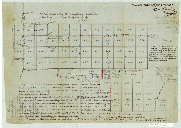
Bailey County Sketch File B
10891, Bailey County Sketch File B, General Map Collection
Print $40.00 - Digital $50.00

Bailey County Sketch File B

Size: 14.5 x 20.4 inches
10891
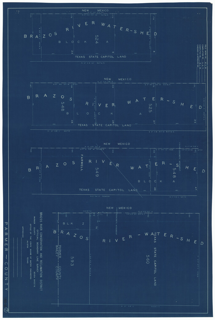
Brazos River Conservation and Reclamation District Official Boundary Line Survey, Parmer County
91599-1.tif
Print $20.00 - Digital $50.00

Brazos River Conservation and Reclamation District Official Boundary Line Survey, Parmer County
Size: 24.9 x 36.9 inches
91599
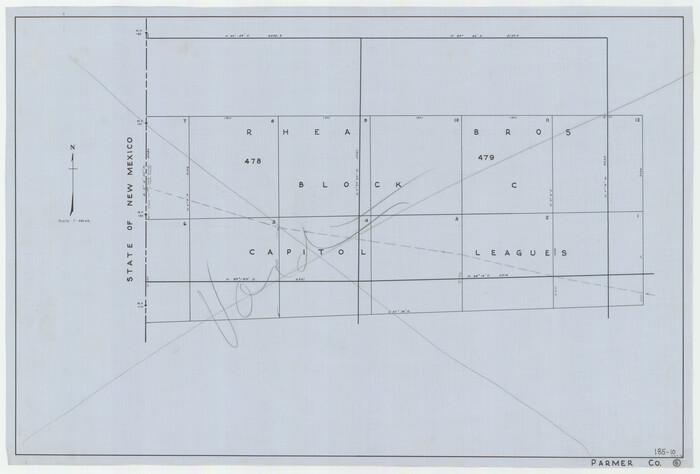
Brazos River Conservation and Reclamation District Official Boundary Line Survey, Parmer County
91638-1.tif
Print $20.00 - Digital $50.00

Brazos River Conservation and Reclamation District Official Boundary Line Survey, Parmer County
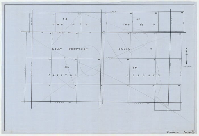
Size: 36.6 x 24.8 inches
91638
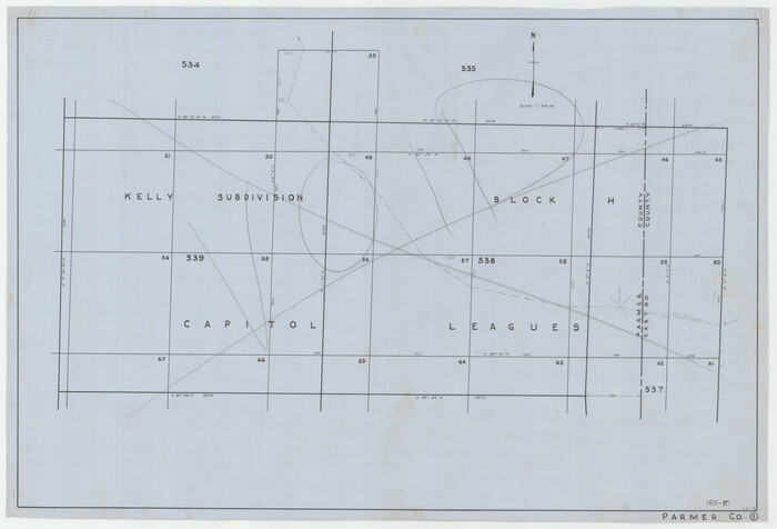
Brazos River Conservation and Reclamation District Official Boundary Line Survey, Parmer County
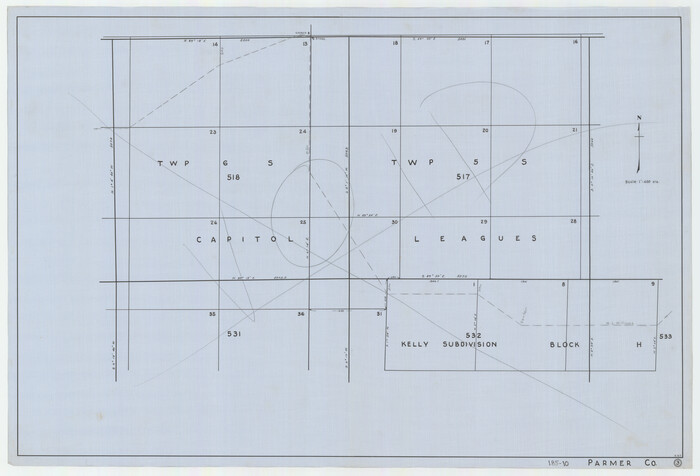
91656-1.tif
Print $20.00 - Digital $50.00

Brazos River Conservation and Reclamation District Official Boundary Line Survey, Parmer County
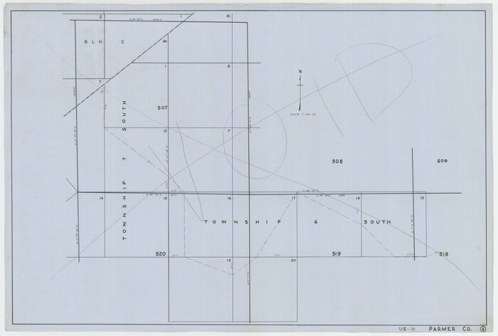
Size: 24.7 x 16.8 inches
91656
Brazos River Conservation and Reclamation District Official Boundary Line Survey, Parmer County
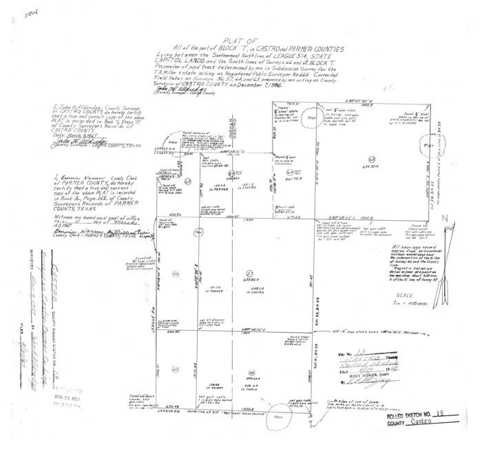
91657-1.tif
Print $20.00 - Digital $50.00

Brazos River Conservation and Reclamation District Official Boundary Line Survey, Parmer County

Size: 24.6 x 16.8 inches
91657
Brazos River Conservation and Reclamation District Official Boundary Line Survey, Parmer County
91658-1.tif
Print $20.00 - Digital $50.00

Brazos River Conservation and Reclamation District Official Boundary Line Survey, Parmer County

Size: 24.5 x 16.9 inches
91658
Brazos River Conservation and Reclamation District Official Boundary Line Survey, Parmer County
91659-1.tif
Print $20.00 - Digital $50.00

Brazos River Conservation and Reclamation District Official Boundary Line Survey, Parmer County

Size: 24.6 x 16.8 inches
91659
Brazos River Conservation and Reclamation District Official Boundary Line Survey, Parmer County
91660-1.tif
Print $20.00 - Digital $50.00

Brazos River Conservation and Reclamation District Official Boundary Line Survey, Parmer County

Size: 24.7 x 16.8 inches
91660
Castro County Rolled Sketch 13
5422.tif
Print $20.00 - Digital $50.00

Castro County Rolled Sketch 13

1967

Size: 18.7 x 20.1 inches
5422
Castro County Rolled Sketch 13A
5423.tif
Print $20.00 - Digital $50.00

Castro County Rolled Sketch 13A

1967

Size: 20.0 x 18.9 inches
5423
Castro County Rolled Sketch 14
8608.tif
Print $20.00 - Digital $50.00

Castro County Rolled Sketch 14

1965

Size: 47.6 x 43.5 inches
8608
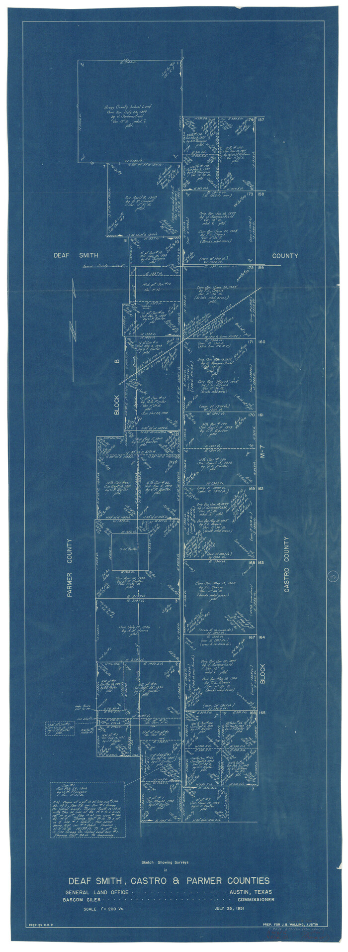
Castro County Sketch File 2
11057, Castro County Sketch File 2, General Map Collection
Print $20.00 - Digital $50.00

Castro County Sketch File 2

Size: 24.7 x 17.7 inches
11057
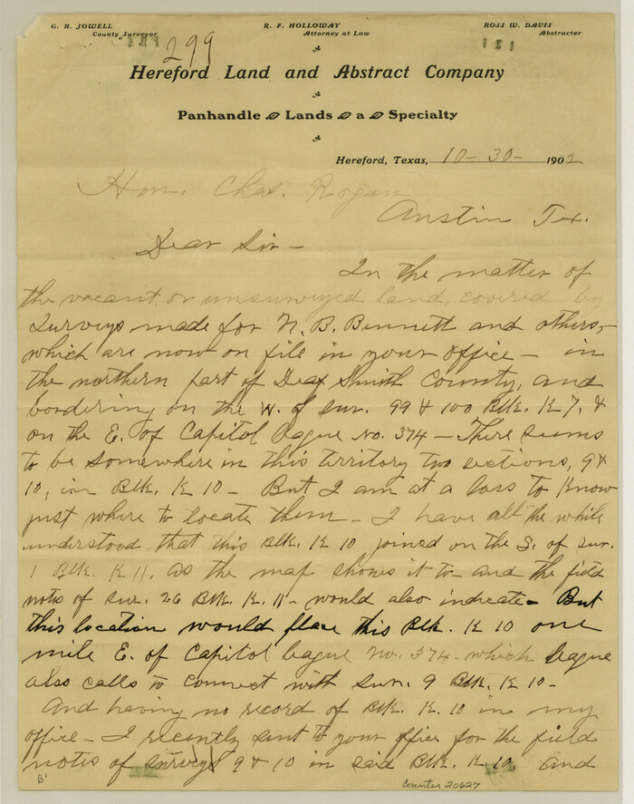
Deaf Smith County Sketch File 1b
20627, Deaf Smith County Sketch File 1b, General Map Collection
Print $24.00 - Digital $50.00

Deaf Smith County Sketch File 1b

1902
Size: 11.3 x 8.9 inches
20627
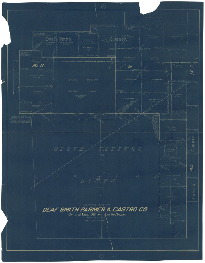
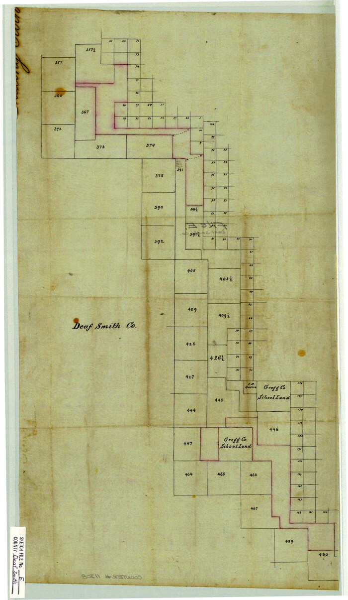
Deaf Smith County Sketch File E
11308, Deaf Smith County Sketch File E, General Map Collection
Print $20.00 - Digital $50.00

Deaf Smith County Sketch File E

Size: 22.3 x 12.9 inches
11308
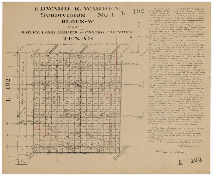
Edward K. Warren Subdivision No. 1 Block-W Situated in Bailey, Lamb, Parmer, and Castro Counties, Texas
92163-2.tif
Print $20.00 - Digital $50.00

Edward K. Warren Subdivision No. 1 Block-W Situated in Bailey, Lamb, Parmer, and Castro Counties, Texas

1913

Size: 17.6 x 14.5 inches
92163
General Highway Map, Parmer County, Texas
79216.tif
Print $20.00

General Highway Map, Parmer County, Texas

1940
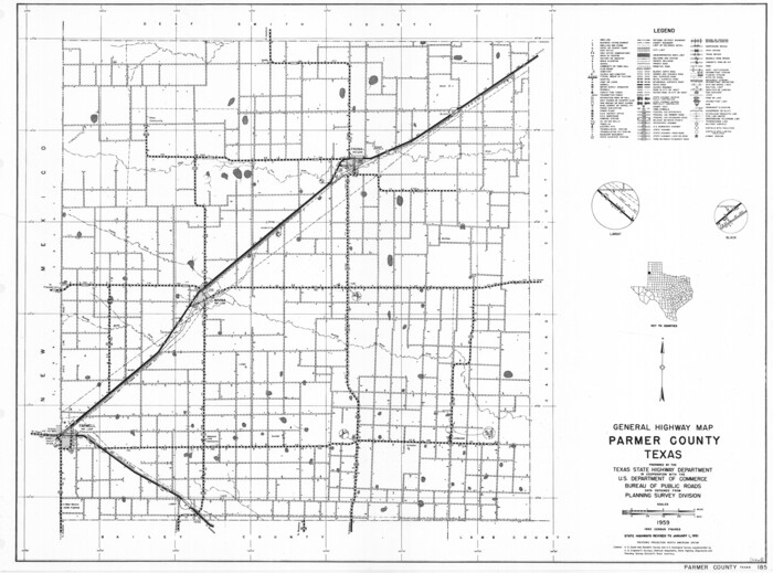
Size: 18.3 x 24.6 inches
79216
General Highway Map, Parmer County, Texas
79626.tif
Print $20.00

General Highway Map, Parmer County, Texas

1961
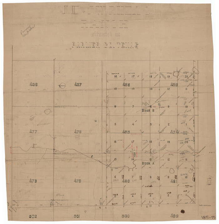
Size: 18.1 x 24.4 inches
79626
J. E. and J. W. Rhea's Ranch situated in Parmer Co., Texas
91607-1.tif
Print $20.00 - Digital $50.00

J. E. and J. W. Rhea's Ranch situated in Parmer Co., Texas

Size: 23.2 x 24.3 inches
91607
Map of Block "C" of J. E. and J. W. Rhea's Ranch situated in Parmer Co., Texas
91600-1.tif
Print $20.00 - Digital $50.00

Map of Block "C" of J. E. and J. W. Rhea's Ranch situated in Parmer Co., Texas

1905

Size: 13.5 x 25.4 inches
91600
Map of Blocks A, B and C in Parmer County, Texas showing a portion of the C. F. L. & I. Co's. XIT Lands
91611-1.tif
Print $20.00 - Digital $50.00

Map of Blocks A, B and C in Parmer County, Texas showing a portion of the C. F. L. & I. Co's. XIT Lands

1905

Size: 24.2 x 29.4 inches
91611
Map of Capitol Syndicate Subdivisions of Capitol Land Reservation Leagues
93131.tif
Print $40.00 - Digital $50.00

Map of Capitol Syndicate Subdivisions of Capitol Land Reservation Leagues

1906
Size: 44.6 x 72.6 inches
93131
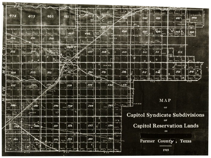
Map of Capitol Syndicate Subdivisions of Capitol Reservation Lands in Parmer County, Texas
91553-2.tif
Print $20.00 - Digital $50.00

Map of Capitol Syndicate Subdivisions of Capitol Reservation Lands in Parmer County, Texas

1915

Size: 17.7 x 13.2 inches
91553
Map of Location of the Pecos & Northern Texas Railway from Station 5868+52 to Station 7879+36 = 38.08 Miles through Parmer County, Texas
64090.tif
Print $40.00 - Digital $50.00

Map of Location of the Pecos & Northern Texas Railway from Station 5868+52 to Station 7879+36 = 38.08 Miles through Parmer County, Texas

Size: 20.2 x 108.5 inches
64090
Map of Parmer County
16786.tif
Print $20.00 - Digital $50.00

Map of Parmer County

1900

Size: 47.8 x 41.3 inches
16786
Map of W. D. Johnson's Pasture
90284-1.tif
Print $20.00 - Digital $50.00

Map of W. D. Johnson's Pasture

Size: 25.1 x 15.0 inches
90284
Map of XIT Lands, vicinity of Farwell, Texas
91654-1.tif
Print $20.00 - Digital $50.00

Map of XIT Lands, vicinity of Farwell, Texas

Size: 19.6 x 30.8 inches
91654
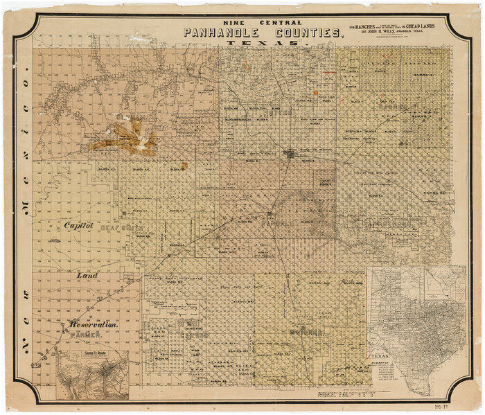
Nine Central Panhandle Counties, Texas
89790-1.tif
Print $20.00 - Digital $50.00

Nine Central Panhandle Counties, Texas

1899

Size: 41.3 x 35.3 inches
89790
Parmer County
3949-1.tif
Print $20.00 - Digital $50.00

Parmer County

1884

Size: 19.8 x 18.3 inches
3949
Parmer County
4612-1.tif
Print $20.00 - Digital $50.00

Parmer County

1884

Size: 20.1 x 18.6 inches
4612
Parmer County
66973.tif
Print $20.00 - Digital $50.00

Parmer County

1926

Size: 46.2 x 36.5 inches
66973
Bailey County Sketch File B
10891, Bailey County Sketch File B, General Map Collection
Print $40.00 - Digital $50.00

Bailey County Sketch File B

  • Size

    14.5 x 20.4 inches

  • Map/Doc

    10891

Brazos River Conservation and Reclamation District Official Boundary Line Survey, Parmer County
91599, Brazos River Conservation and Reclamation District Official Boundary Line Survey, Parmer County, Twichell Survey Records
Print $20.00 - Digital $50.00

Brazos River Conservation and Reclamation District Official Boundary Line Survey, Parmer County

  • Size

    24.9 x 36.9 inches

  • Map/Doc

    91599

Brazos River Conservation and Reclamation District Official Boundary Line Survey, Parmer County
91638, Brazos River Conservation and Reclamation District Official Boundary Line Survey, Parmer County, Twichell Survey Records
Print $20.00 - Digital $50.00

Brazos River Conservation and Reclamation District Official Boundary Line Survey, Parmer County

  • Size

    36.6 x 24.8 inches

  • Map/Doc

    91638

Brazos River Conservation and Reclamation District Official Boundary Line Survey, Parmer County
91656, Brazos River Conservation and Reclamation District Official Boundary Line Survey, Parmer County, Twichell Survey Records
Print $20.00 - Digital $50.00

Brazos River Conservation and Reclamation District Official Boundary Line Survey, Parmer County

  • Size

    24.7 x 16.8 inches

  • Map/Doc

    91656

Brazos River Conservation and Reclamation District Official Boundary Line Survey, Parmer County
91657, Brazos River Conservation and Reclamation District Official Boundary Line Survey, Parmer County, Twichell Survey Records
Print $20.00 - Digital $50.00

Brazos River Conservation and Reclamation District Official Boundary Line Survey, Parmer County

  • Size

    24.6 x 16.8 inches

  • Map/Doc

    91657

Brazos River Conservation and Reclamation District Official Boundary Line Survey, Parmer County
91658, Brazos River Conservation and Reclamation District Official Boundary Line Survey, Parmer County, Twichell Survey Records
Print $20.00 - Digital $50.00

Brazos River Conservation and Reclamation District Official Boundary Line Survey, Parmer County

  • Size

    24.5 x 16.9 inches

  • Map/Doc

    91658

Brazos River Conservation and Reclamation District Official Boundary Line Survey, Parmer County
91659, Brazos River Conservation and Reclamation District Official Boundary Line Survey, Parmer County, Twichell Survey Records
Print $20.00 - Digital $50.00

Brazos River Conservation and Reclamation District Official Boundary Line Survey, Parmer County

  • Size

    24.6 x 16.8 inches

  • Map/Doc

    91659

Brazos River Conservation and Reclamation District Official Boundary Line Survey, Parmer County
91660, Brazos River Conservation and Reclamation District Official Boundary Line Survey, Parmer County, Twichell Survey Records
Print $20.00 - Digital $50.00

Brazos River Conservation and Reclamation District Official Boundary Line Survey, Parmer County

  • Size

    24.7 x 16.8 inches

  • Map/Doc

    91660

Castro County Rolled Sketch 13
5422, Castro County Rolled Sketch 13, General Map Collection
Print $20.00 - Digital $50.00

Castro County Rolled Sketch 13

1967

  • Size

    18.7 x 20.1 inches

  • Map/Doc

    5422

  • Creation Date

    1967

Castro County Rolled Sketch 13A
5423, Castro County Rolled Sketch 13A, General Map Collection
Print $20.00 - Digital $50.00

Castro County Rolled Sketch 13A

1967

  • Size

    20.0 x 18.9 inches

  • Map/Doc

    5423

  • Creation Date

    1967

Castro County Rolled Sketch 14
8608, Castro County Rolled Sketch 14, General Map Collection
Print $20.00 - Digital $50.00

Castro County Rolled Sketch 14

1965

  • Size

    47.6 x 43.5 inches

  • Map/Doc

    8608

  • Creation Date

    1965

Castro County Sketch File 2
11057, Castro County Sketch File 2, General Map Collection
Print $20.00 - Digital $50.00

Castro County Sketch File 2

  • Size

    24.7 x 17.7 inches

  • Map/Doc

    11057

Deaf Smith County Sketch File 1b
20627, Deaf Smith County Sketch File 1b, General Map Collection
Print $24.00 - Digital $50.00

Deaf Smith County Sketch File 1b

1902

  • Size

    11.3 x 8.9 inches

  • Map/Doc

    20627

  • Creation Date

    1902

Deaf Smith County Sketch File E
11308, Deaf Smith County Sketch File E, General Map Collection
Print $20.00 - Digital $50.00

Deaf Smith County Sketch File E

  • Size

    22.3 x 12.9 inches

  • Map/Doc

    11308

Edward K. Warren Subdivision No. 1 Block-W Situated in Bailey, Lamb, Parmer, and Castro Counties, Texas
92163, Edward K. Warren Subdivision No. 1 Block-W Situated in Bailey, Lamb, Parmer, and Castro Counties, Texas, Twichell Survey Records
Print $20.00 - Digital $50.00

Edward K. Warren Subdivision No. 1 Block-W Situated in Bailey, Lamb, Parmer, and Castro Counties, Texas

1913

  • Size

    17.6 x 14.5 inches

  • Map/Doc

    92163

  • Creation Date

    1913

General Highway Map, Parmer County, Texas
79216, General Highway Map, Parmer County, Texas, Texas State Library and Archives
Print $20.00

General Highway Map, Parmer County, Texas

1940

  • Size

    18.3 x 24.6 inches

  • Map/Doc

    79216

  • Creation Date

    1940

General Highway Map, Parmer County, Texas
79626, General Highway Map, Parmer County, Texas, Texas State Library and Archives
Print $20.00

General Highway Map, Parmer County, Texas

1961

  • Size

    18.1 x 24.4 inches

  • Map/Doc

    79626

  • Creation Date

    1961

J. E. and J. W. Rhea's Ranch situated in Parmer Co., Texas
91607, J. E. and J. W. Rhea's Ranch situated in Parmer Co., Texas, Twichell Survey Records
Print $20.00 - Digital $50.00

J. E. and J. W. Rhea's Ranch situated in Parmer Co., Texas

  • Size

    23.2 x 24.3 inches

  • Map/Doc

    91607

Map of Block "C" of J. E. and J. W. Rhea's Ranch situated in Parmer Co., Texas
91600, Map of Block "C" of J. E. and J. W. Rhea's Ranch situated in Parmer Co., Texas, Twichell Survey Records
Print $20.00 - Digital $50.00

Map of Block "C" of J. E. and J. W. Rhea's Ranch situated in Parmer Co., Texas

1905

  • Size

    13.5 x 25.4 inches

  • Map/Doc

    91600

  • Creation Date

    1905

Map of Blocks A, B and C in Parmer County, Texas showing a portion of the C. F. L. & I. Co's. XIT Lands
91611, Map of Blocks A, B and C in Parmer County, Texas showing a portion of the C. F. L. & I. Co's. XIT Lands, Twichell Survey Records
Print $20.00 - Digital $50.00

Map of Blocks A, B and C in Parmer County, Texas showing a portion of the C. F. L. & I. Co's. XIT Lands

1905

  • Size

    24.2 x 29.4 inches

  • Map/Doc

    91611

  • Creation Date

    1905

Map of Capitol Syndicate Subdivisions of Capitol Land Reservation Leagues
93131, Map of Capitol Syndicate Subdivisions of Capitol Land Reservation Leagues, Twichell Survey Records
Print $40.00 - Digital $50.00

Map of Capitol Syndicate Subdivisions of Capitol Land Reservation Leagues

1906

  • Size

    44.6 x 72.6 inches

  • Map/Doc

    93131

  • Creation Date

    1906

Map of Capitol Syndicate Subdivisions of Capitol Reservation Lands in Parmer County, Texas
91553, Map of Capitol Syndicate Subdivisions of Capitol Reservation Lands in Parmer County, Texas, Twichell Survey Records
Print $20.00 - Digital $50.00

Map of Capitol Syndicate Subdivisions of Capitol Reservation Lands in Parmer County, Texas

1915

  • Size

    17.7 x 13.2 inches

  • Map/Doc

    91553

  • Creation Date

    1915

Map of Location of the Pecos & Northern Texas Railway from Station 5868+52 to Station 7879+36 = 38.08 Miles through Parmer County, Texas
64090, Map of Location of the Pecos & Northern Texas Railway from Station 5868+52 to Station 7879+36 = 38.08 Miles through Parmer County, Texas, General Map Collection
Print $40.00 - Digital $50.00

Map of Location of the Pecos & Northern Texas Railway from Station 5868+52 to Station 7879+36 = 38.08 Miles through Parmer County, Texas

  • Size

    20.2 x 108.5 inches

  • Map/Doc

    64090

Map of Parmer County
16786, Map of Parmer County, General Map Collection
Print $20.00 - Digital $50.00

Map of Parmer County

1900

  • Size

    47.8 x 41.3 inches

  • Map/Doc

    16786

  • Creation Date

    1900

Map of W. D. Johnson's Pasture
90284, Map of W. D. Johnson's Pasture, Twichell Survey Records
Print $20.00 - Digital $50.00

Map of W. D. Johnson's Pasture

  • Size

    25.1 x 15.0 inches

  • Map/Doc

    90284

Map of XIT Lands, vicinity of Farwell, Texas
91654, Map of XIT Lands, vicinity of Farwell, Texas, Twichell Survey Records
Print $20.00 - Digital $50.00

Map of XIT Lands, vicinity of Farwell, Texas

  • Size

    19.6 x 30.8 inches

  • Map/Doc

    91654

Nine Central Panhandle Counties, Texas
89790, Nine Central Panhandle Counties, Texas, Twichell Survey Records
Print $20.00 - Digital $50.00

Nine Central Panhandle Counties, Texas

1899

  • Size

    41.3 x 35.3 inches

  • Map/Doc

    89790

  • Creation Date

    1899

Parmer County
3949, Parmer County, General Map Collection
Print $20.00 - Digital $50.00

Parmer County

1884

  • Size

    19.8 x 18.3 inches

  • Map/Doc

    3949

  • Creation Date

    1884

Parmer County
4612, Parmer County, General Map Collection
Print $20.00 - Digital $50.00

Parmer County

1884

  • Size

    20.1 x 18.6 inches

  • Map/Doc

    4612

  • Creation Date

    1884

Parmer County
66973, Parmer County, General Map Collection
Print $20.00 - Digital $50.00

Parmer County

1926

  • Size

    46.2 x 36.5 inches

  • Map/Doc

    66973

  • Creation Date

    1926