86 results

Sherman County Sketch File 5
36723, Sherman County Sketch File 5, General Map Collection
Print $2.00 - Digital $50.00

Sherman County Sketch File 5

1993

Size: 14.6 x 9.0 inches
36723
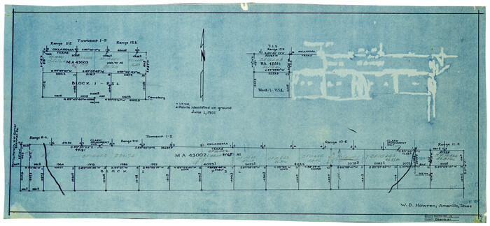
Sherman County Sketch File 6
36724, Sherman County Sketch File 6, General Map Collection
Print $2.00 - Digital $50.00

Sherman County Sketch File 6

1993

Size: 14.6 x 9.1 inches
36724
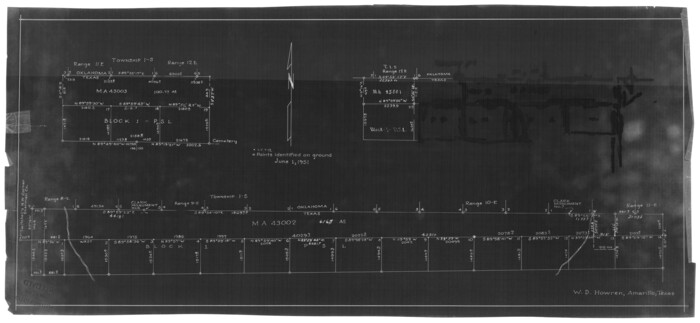
Sherman County Sketch File 7
36725, Sherman County Sketch File 7, General Map Collection
Print $2.00 - Digital $50.00

Sherman County Sketch File 7

1993

Size: 14.6 x 9.0 inches
36725
Sherman County Sketch File 8
36726, Sherman County Sketch File 8, General Map Collection
Print $61.00 - Digital $50.00

Sherman County Sketch File 8

1993

Size: 11.4 x 8.9 inches
36726
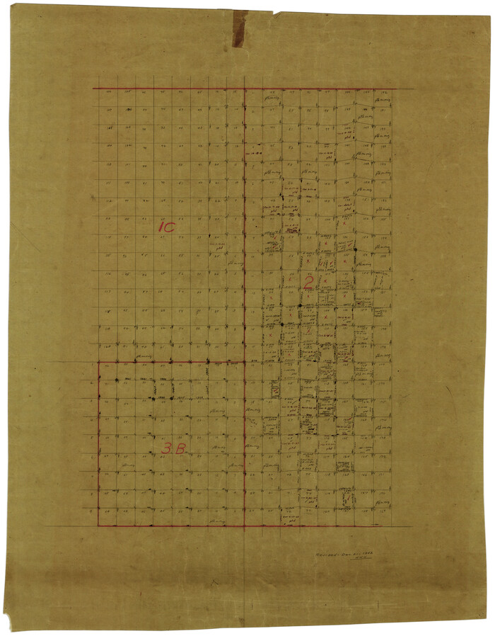
Sherman County Rolled Sketch 14
7795.tif
Print $20.00 - Digital $50.00

Sherman County Rolled Sketch 14

1975

Size: 17.4 x 17.7 inches
7795
General Highway Map, Sherman County, Texas
79653.tif
Print $20.00

General Highway Map, Sherman County, Texas

1961
Size: 18.2 x 24.8 inches
79653
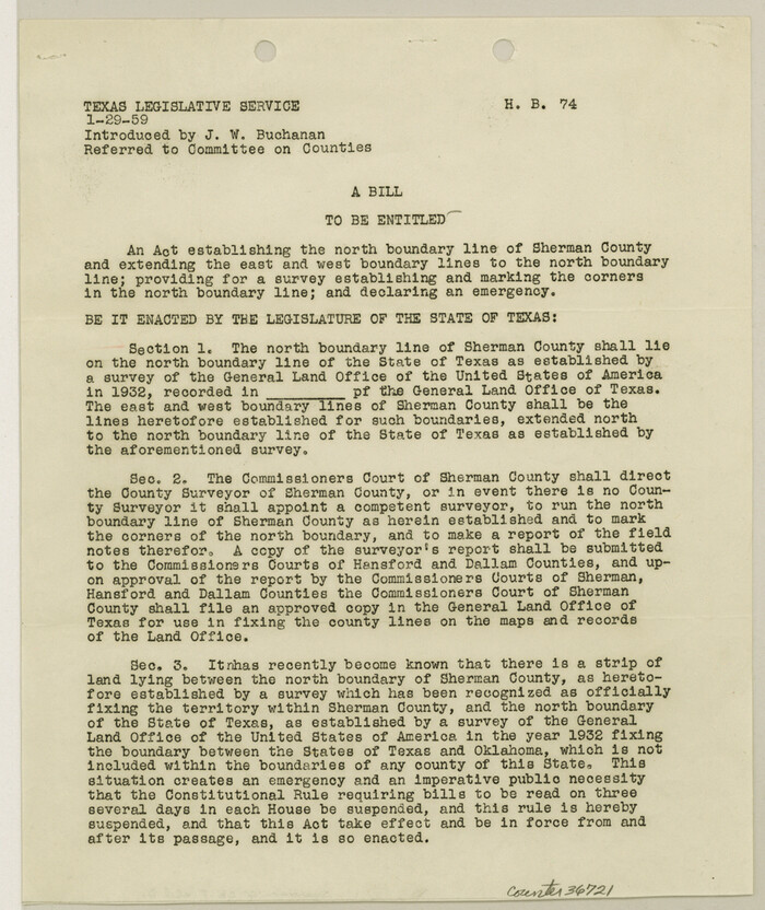
Sherman County Sketch File D
36721, Sherman County Sketch File D, General Map Collection
Print $5.00 - Digital $50.00

Sherman County Sketch File D

1959

Size: 10.6 x 8.9 inches
36721
Sherman County Rolled Sketch 13
7790.tif
Print $20.00 - Digital $50.00

Sherman County Rolled Sketch 13

1951

Size: 13.9 x 30.5 inches
7790
Sherman County Rolled Sketch 13
7791.tif
Print $20.00 - Digital $50.00

Sherman County Rolled Sketch 13

1951

Size: 14.3 x 30.7 inches
7791
Sherman County Rolled Sketch 12
9929.tif
Print $40.00 - Digital $50.00

Sherman County Rolled Sketch 12

1951

Size: 64.1 x 11.3 inches
9929
Sherman County Rolled Sketch 12
9931.tif
Print $40.00 - Digital $50.00

Sherman County Rolled Sketch 12

1951

Size: 64.2 x 11.7 inches
9931
Sherman County Rolled Sketch 12
10611-1.tif
Print $40.00 - Digital $50.00

Sherman County Rolled Sketch 12

1951

Size: 63.9 x 11.3 inches
10611
Sherman County Rolled Sketch 9
7789.tif
Print $20.00 - Digital $50.00

Sherman County Rolled Sketch 9

1942

Size: 33.5 x 26.7 inches
7789
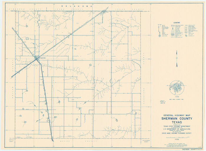
General Highway Map, Sherman County, Texas
79243.tif
Print $20.00

General Highway Map, Sherman County, Texas

1940

Size: 18.2 x 24.9 inches
79243
Sherman County
63036.tif
Print $20.00 - Digital $50.00

Sherman County

1932

Size: 43.1 x 39.9 inches
63036
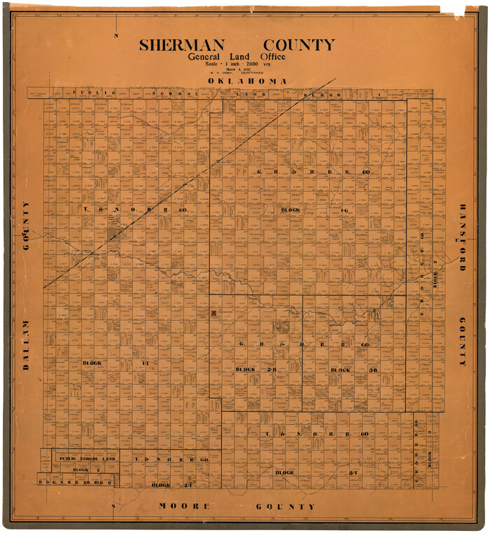
Sherman County
73289.tif
Print $20.00 - Digital $50.00

Sherman County

1932

Size: 38.7 x 36.3 inches
73289
Sherman County Working Sketch Graphic Index
76698.tif
Print $20.00 - Digital $50.00

Sherman County Working Sketch Graphic Index

1932
Size: 41.5 x 36.9 inches
76698
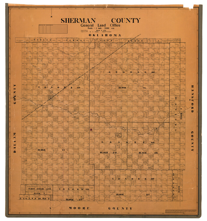
Sherman County
77422.tif
Print $20.00 - Digital $50.00

Sherman County

1932

Size: 39.6 x 36.4 inches
77422
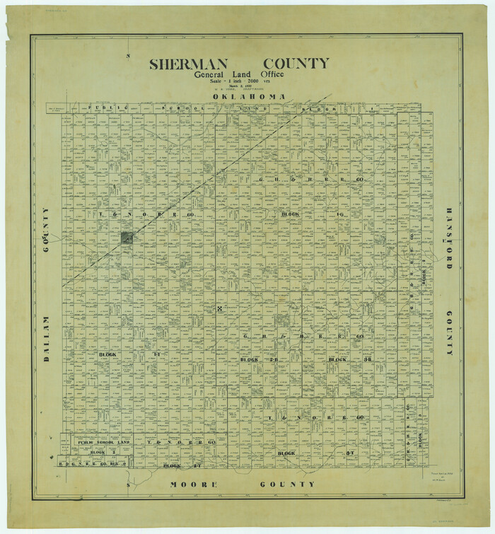
Sherman County
95640.tif
Print $20.00 - Digital $50.00

Sherman County

1932

Size: 39.8 x 37.3 inches
95640
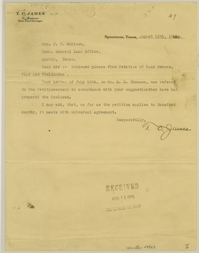
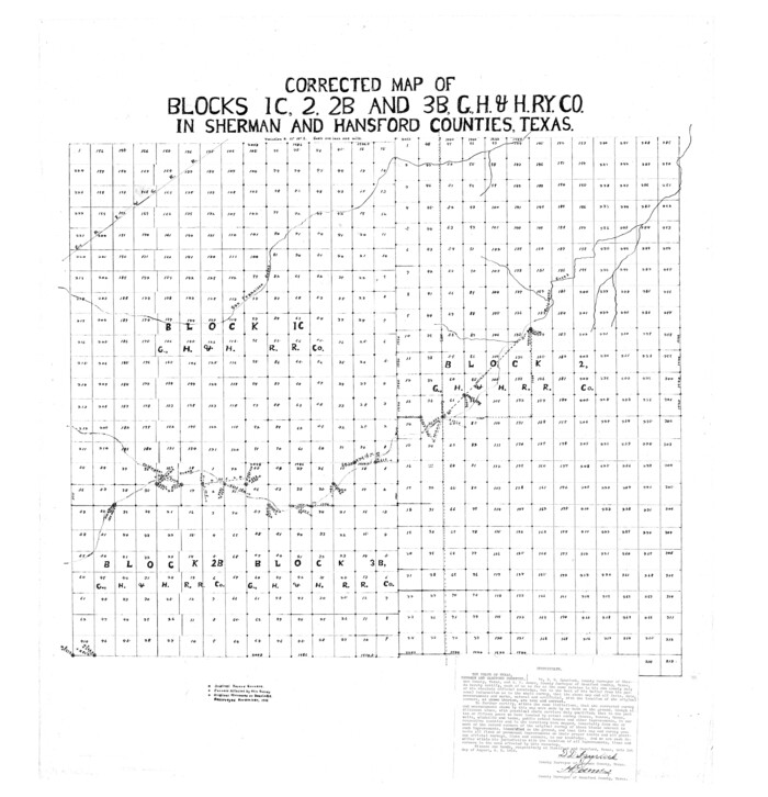
Hansford County Sketch File 9
24963, Hansford County Sketch File 9, General Map Collection
Print $33.00 - Digital $50.00

Hansford County Sketch File 9

1928

Size: 11.1 x 8.8 inches
24963
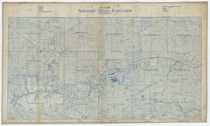
Northern Texas Panhandle
89915.tif

Northern Texas Panhandle

1926

Size: 71.6 x 43.0 inches
89915
Sherman County Sketch File 4
36688, Sherman County Sketch File 4, General Map Collection
Print $4.00 - Digital $50.00

Sherman County Sketch File 4

1925

Size: 8.7 x 5.8 inches
36688
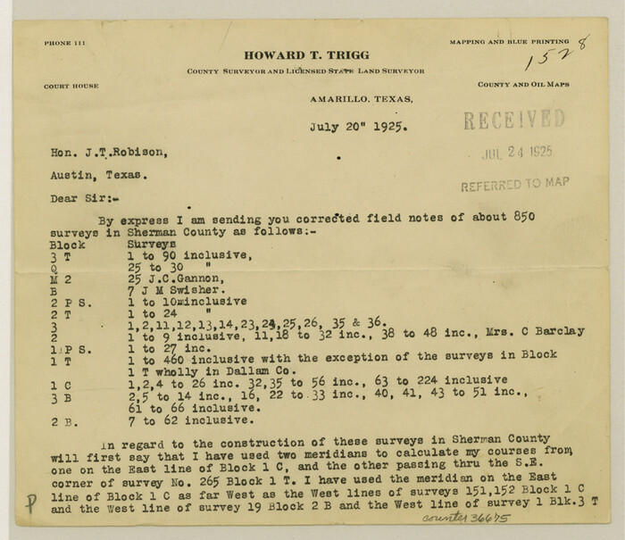
Sherman County Sketch File 3
36675, Sherman County Sketch File 3, General Map Collection
Print $26.00 - Digital $50.00

Sherman County Sketch File 3

1925

Size: 7.7 x 8.9 inches
36675
Sherman County Sketch File 1
12322, Sherman County Sketch File 1, General Map Collection
Print $20.00 - Digital $50.00

Sherman County Sketch File 1

1923

Size: 25.3 x 25.4 inches
12322
Chicago, Rock Island, Texas & Mexico
64422.tif
Print $40.00 - Digital $50.00

Chicago, Rock Island, Texas & Mexico

1920

Size: 25.9 x 120.3 inches
64422
Chicago, Rock Island, Texas & Mexico
64423.tif
Print $20.00 - Digital $50.00

Chicago, Rock Island, Texas & Mexico

1920
Size: 23.9 x 13.8 inches
64423
Sherman County Rolled Sketch 6
10731.tif
Print $20.00 - Digital $50.00

Sherman County Rolled Sketch 6

1919

Size: 37.3 x 36.0 inches
10731
Sherman County Rolled Sketch 7
7787.tif
Print $20.00 - Digital $50.00

Sherman County Rolled Sketch 7

1919

Size: 32.7 x 19.0 inches
7787
Sherman County Rolled Sketch 5
9928.tif
Print $20.00 - Digital $50.00

Sherman County Rolled Sketch 5

1919

Size: 36.9 x 41.4 inches
9928
Sherman County Sketch File B
36691, Sherman County Sketch File B, General Map Collection
Print $6.00 - Digital $50.00

Sherman County Sketch File B

1919

Size: 14.4 x 8.8 inches
36691
Sherman County Sketch File 5
36723, Sherman County Sketch File 5, General Map Collection
Print $2.00 - Digital $50.00

Sherman County Sketch File 5

1993

  • Size

    14.6 x 9.0 inches

  • Map/Doc

    36723

  • Creation Date

    1993

Sherman County Sketch File 6
36724, Sherman County Sketch File 6, General Map Collection
Print $2.00 - Digital $50.00

Sherman County Sketch File 6

1993

  • Size

    14.6 x 9.1 inches

  • Map/Doc

    36724

  • Creation Date

    1993

Sherman County Sketch File 7
36725, Sherman County Sketch File 7, General Map Collection
Print $2.00 - Digital $50.00

Sherman County Sketch File 7

1993

  • Size

    14.6 x 9.0 inches

  • Map/Doc

    36725

  • Creation Date

    1993

Sherman County Sketch File 8
36726, Sherman County Sketch File 8, General Map Collection
Print $61.00 - Digital $50.00

Sherman County Sketch File 8

1993

  • Size

    11.4 x 8.9 inches

  • Map/Doc

    36726

  • Creation Date

    1993

Sherman County Rolled Sketch 14
7795, Sherman County Rolled Sketch 14, General Map Collection
Print $20.00 - Digital $50.00

Sherman County Rolled Sketch 14

1975

  • Size

    17.4 x 17.7 inches

  • Map/Doc

    7795

  • Creation Date

    1975

General Highway Map, Sherman County, Texas
79653, General Highway Map, Sherman County, Texas, Texas State Library and Archives
Print $20.00

General Highway Map, Sherman County, Texas

1961

  • Size

    18.2 x 24.8 inches

  • Map/Doc

    79653

  • Creation Date

    1961

Sherman County Sketch File D
36721, Sherman County Sketch File D, General Map Collection
Print $5.00 - Digital $50.00

Sherman County Sketch File D

1959

  • Size

    10.6 x 8.9 inches

  • Map/Doc

    36721

  • Creation Date

    1959

Sherman County Rolled Sketch 13
7790, Sherman County Rolled Sketch 13, General Map Collection
Print $20.00 - Digital $50.00

Sherman County Rolled Sketch 13

1951

  • Size

    13.9 x 30.5 inches

  • Map/Doc

    7790

  • Creation Date

    1951

Sherman County Rolled Sketch 13
7791, Sherman County Rolled Sketch 13, General Map Collection
Print $20.00 - Digital $50.00

Sherman County Rolled Sketch 13

1951

  • Size

    14.3 x 30.7 inches

  • Map/Doc

    7791

  • Creation Date

    1951

Sherman County Rolled Sketch 12
9929, Sherman County Rolled Sketch 12, General Map Collection
Print $40.00 - Digital $50.00

Sherman County Rolled Sketch 12

1951

  • Size

    64.1 x 11.3 inches

  • Map/Doc

    9929

  • Creation Date

    1951

Sherman County Rolled Sketch 12
9931, Sherman County Rolled Sketch 12, General Map Collection
Print $40.00 - Digital $50.00

Sherman County Rolled Sketch 12

1951

  • Size

    64.2 x 11.7 inches

  • Map/Doc

    9931

  • Creation Date

    1951

Sherman County Rolled Sketch 12
10611, Sherman County Rolled Sketch 12, General Map Collection
Print $40.00 - Digital $50.00

Sherman County Rolled Sketch 12

1951

  • Size

    63.9 x 11.3 inches

  • Map/Doc

    10611

  • Creation Date

    1951

Sherman County Rolled Sketch 9
7789, Sherman County Rolled Sketch 9, General Map Collection
Print $20.00 - Digital $50.00

Sherman County Rolled Sketch 9

1942

  • Size

    33.5 x 26.7 inches

  • Map/Doc

    7789

  • Creation Date

    1942

General Highway Map, Sherman County, Texas
79243, General Highway Map, Sherman County, Texas, Texas State Library and Archives
Print $20.00

General Highway Map, Sherman County, Texas

1940

  • Size

    18.2 x 24.9 inches

  • Map/Doc

    79243

  • Creation Date

    1940

Sherman County
63036, Sherman County, General Map Collection
Print $20.00 - Digital $50.00

Sherman County

1932

  • Size

    43.1 x 39.9 inches

  • Map/Doc

    63036

  • Creation Date

    1932

Sherman County
73289, Sherman County, General Map Collection
Print $20.00 - Digital $50.00

Sherman County

1932

  • Size

    38.7 x 36.3 inches

  • Map/Doc

    73289

  • Creation Date

    1932

Sherman County Working Sketch Graphic Index
76698, Sherman County Working Sketch Graphic Index, General Map Collection
Print $20.00 - Digital $50.00

Sherman County Working Sketch Graphic Index

1932

  • Size

    41.5 x 36.9 inches

  • Map/Doc

    76698

  • Creation Date

    1932

Sherman County
77422, Sherman County, General Map Collection
Print $20.00 - Digital $50.00

Sherman County

1932

  • Size

    39.6 x 36.4 inches

  • Map/Doc

    77422

  • Creation Date

    1932

Sherman County
95640, Sherman County, General Map Collection
Print $20.00 - Digital $50.00

Sherman County

1932

  • Size

    39.8 x 37.3 inches

  • Map/Doc

    95640

  • Creation Date

    1932

Hansford County Sketch File 9
24963, Hansford County Sketch File 9, General Map Collection
Print $33.00 - Digital $50.00

Hansford County Sketch File 9

1928

  • Size

    11.1 x 8.8 inches

  • Map/Doc

    24963

  • Creation Date

    1928

Northern Texas Panhandle
89915, Northern Texas Panhandle, Twichell Survey Records

Northern Texas Panhandle

1926

  • Size

    71.6 x 43.0 inches

  • Map/Doc

    89915

  • Creation Date

    1926

Sherman County Sketch File 4
36688, Sherman County Sketch File 4, General Map Collection
Print $4.00 - Digital $50.00

Sherman County Sketch File 4

1925

  • Size

    8.7 x 5.8 inches

  • Map/Doc

    36688

  • Creation Date

    1925

Sherman County Sketch File 3
36675, Sherman County Sketch File 3, General Map Collection
Print $26.00 - Digital $50.00

Sherman County Sketch File 3

1925

  • Size

    7.7 x 8.9 inches

  • Map/Doc

    36675

  • Creation Date

    1925

Sherman County Sketch File 1
12322, Sherman County Sketch File 1, General Map Collection
Print $20.00 - Digital $50.00

Sherman County Sketch File 1

1923

  • Size

    25.3 x 25.4 inches

  • Map/Doc

    12322

  • Creation Date

    1923

Chicago, Rock Island, Texas & Mexico
64422, Chicago, Rock Island, Texas & Mexico, General Map Collection
Print $40.00 - Digital $50.00

Chicago, Rock Island, Texas & Mexico

1920

  • Size

    25.9 x 120.3 inches

  • Map/Doc

    64422

  • Creation Date

    1920

Chicago, Rock Island, Texas & Mexico
64423, Chicago, Rock Island, Texas & Mexico, General Map Collection
Print $20.00 - Digital $50.00

Chicago, Rock Island, Texas & Mexico

1920

  • Size

    23.9 x 13.8 inches

  • Map/Doc

    64423

  • Creation Date

    1920

Sherman County Rolled Sketch 6
10731, Sherman County Rolled Sketch 6, General Map Collection
Print $20.00 - Digital $50.00

Sherman County Rolled Sketch 6

1919

  • Size

    37.3 x 36.0 inches

  • Map/Doc

    10731

  • Creation Date

    1919

Sherman County Rolled Sketch 7
7787, Sherman County Rolled Sketch 7, General Map Collection
Print $20.00 - Digital $50.00

Sherman County Rolled Sketch 7

1919

  • Size

    32.7 x 19.0 inches

  • Map/Doc

    7787

  • Creation Date

    1919

Sherman County Rolled Sketch 5
9928, Sherman County Rolled Sketch 5, General Map Collection
Print $20.00 - Digital $50.00

Sherman County Rolled Sketch 5

1919

  • Size

    36.9 x 41.4 inches

  • Map/Doc

    9928

  • Creation Date

    1919

Sherman County Sketch File B
36691, Sherman County Sketch File B, General Map Collection
Print $6.00 - Digital $50.00

Sherman County Sketch File B

1919

  • Size

    14.4 x 8.8 inches

  • Map/Doc

    36691

  • Creation Date

    1919