Capitol Land Reservation


Print $40.00
- Digital $50.00
Capitol Land Reservation
1880
Size: 115.6 x 36.6 inches
10785
Capitol Land Reservation


Print $40.00
- Digital $50.00
Capitol Land Reservation
1882
Size: 51.4 x 18.0 inches
76175
Chicago, Rock Island, Texas & Mexico


Print $40.00
- Digital $50.00
Chicago, Rock Island, Texas & Mexico
1920
Size: 25.9 x 120.3 inches
64422
Chicago, Rock Island, Texas & Mexico


Print $20.00
- Digital $50.00
Chicago, Rock Island, Texas & Mexico
1920
Size: 23.9 x 13.8 inches
64423
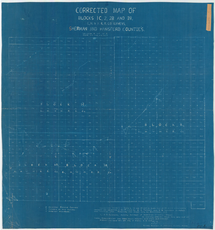
Corrected Map of Blocks 1C, 2, 2B and 3B, G. H. & H. RR. Co. Surveys, Sherman and Hansford Counties

Print $20.00
- Digital $50.00
Corrected Map of Blocks 1C, 2, 2B and 3B, G. H. & H. RR. Co. Surveys, Sherman and Hansford Counties
1919
Size: 32.0 x 34.3 inches
91924
Dallam County Sketch File 13


Print $20.00
- Digital $50.00
Dallam County Sketch File 13
Size: 22.2 x 20.3 inches
11280
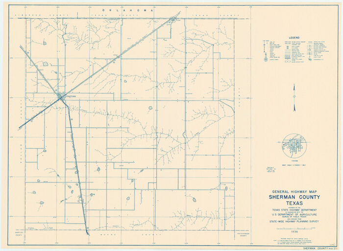
General Highway Map, Sherman County, Texas

Print $20.00
General Highway Map, Sherman County, Texas
1940
Size: 18.2 x 24.9 inches
79243
General Highway Map, Sherman County, Texas


Print $20.00
General Highway Map, Sherman County, Texas
1961
Size: 18.2 x 24.8 inches
79653
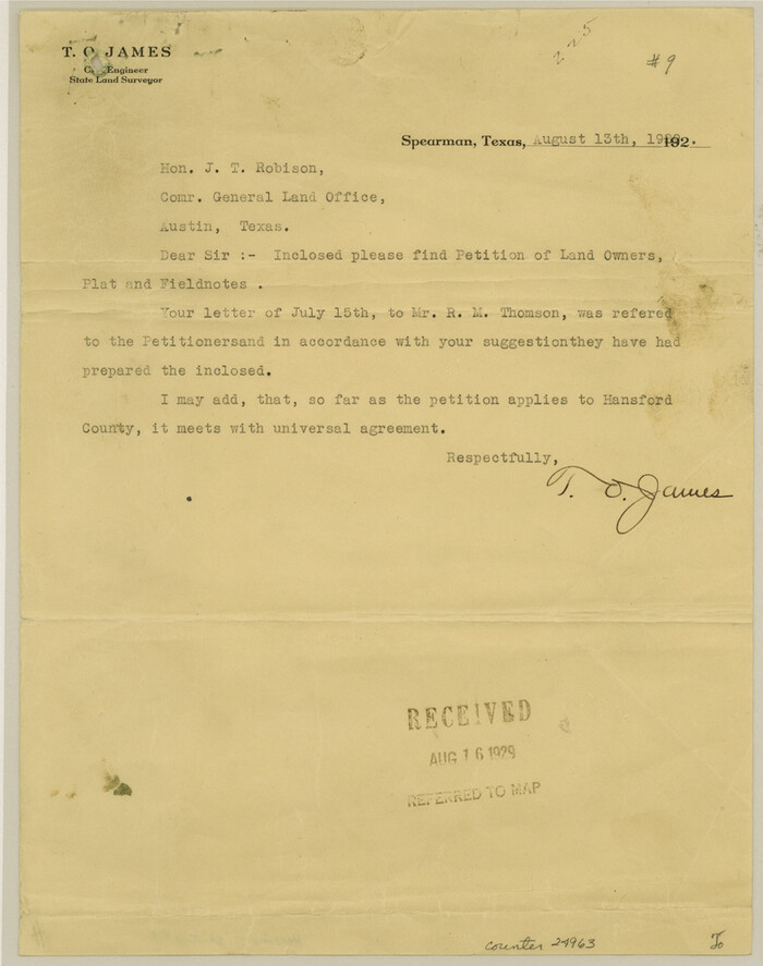
Hansford County Sketch File 9

Print $33.00
- Digital $50.00
Hansford County Sketch File 9
1928
Size: 11.1 x 8.8 inches
24963
Hansford County Working Sketch 1


Print $40.00
- Digital $50.00
Hansford County Working Sketch 1
1934
Size: 43.0 x 54.1 inches
63373
Hansford County Working Sketch 2


Print $40.00
- Digital $50.00
Hansford County Working Sketch 2
1934
Size: 42.7 x 54.4 inches
63374
Hartley County Sketch File 12


Print $20.00
- Digital $50.00
Hartley County Sketch File 12
1906
Size: 16.3 x 12.4 inches
11736
Hutchinson County Rolled Sketch 2


Print $20.00
- Digital $50.00
Hutchinson County Rolled Sketch 2
Size: 36.1 x 42.0 inches
76069
Hutchinson County Sketch File 23


Print $22.00
- Digital $50.00
Hutchinson County Sketch File 23
1913
Size: 11.2 x 8.8 inches
27245
Lipscomb County Sketch File 1


Print $40.00
- Digital $50.00
Lipscomb County Sketch File 1
Size: 51.7 x 14.2 inches
10525
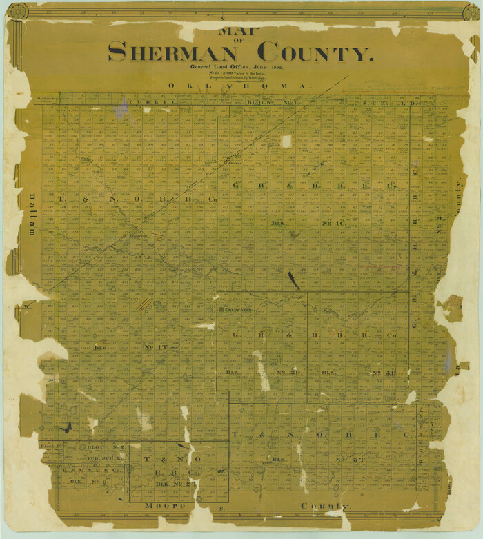
Map of Sherman County

Print $20.00
- Digital $50.00
Map of Sherman County
1902
Size: 40.9 x 36.6 inches
16815
Map of the Capitol Land Reservation


Print $20.00
- Digital $50.00
Map of the Capitol Land Reservation
1880
Size: 43.5 x 34.6 inches
1751
Moore County Sketch File 2


Print $36.00
- Digital $50.00
Moore County Sketch File 2
Size: 14.2 x 8.6 inches
31929
Moore County Sketch File 5


Print $22.00
- Digital $50.00
Moore County Sketch File 5
Size: 9.0 x 12.6 inches
31937
Moore County Sketch File 7


Print $20.00
- Digital $50.00
Moore County Sketch File 7
Size: 24.6 x 45.8 inches
10553
PSL Field Notes for Blocks 1 and 2, Hansford and Sherman Counties, Blocks 3 and 4, Hansford County, Blocks A1, A2, A4, A5, and A6 in Hartley County, Block C0 in Hockley, Lubbock, Lynn, and Terry Counties, and Blocks A and B in Kent County


PSL Field Notes for Blocks 1 and 2, Hansford and Sherman Counties, Blocks 3 and 4, Hansford County, Blocks A1, A2, A4, A5, and A6 in Hartley County, Block C0 in Hockley, Lubbock, Lynn, and Terry Counties, and Blocks A and B in Kent County
81655
Potter County Boundary File 2


Print $30.00
- Digital $50.00
Potter County Boundary File 2
Size: 9.0 x 6.0 inches
57952
Potter County Boundary File 2a


Print $82.00
- Digital $50.00
Potter County Boundary File 2a
Size: 94.2 x 8.7 inches
57967
Sherman Co., U. S. Public Land


Print $20.00
- Digital $50.00
Sherman Co., U. S. Public Land
Size: 15.5 x 17.4 inches
91895
Capitol Land Reservation


Print $40.00
- Digital $50.00
Capitol Land Reservation
1880
-
Size
115.6 x 36.6 inches
-
Map/Doc
10785
-
Creation Date
1880
Capitol Land Reservation


Print $40.00
- Digital $50.00
Capitol Land Reservation
1882
-
Size
51.4 x 18.0 inches
-
Map/Doc
76175
-
Creation Date
1882
Chicago, Rock Island, Texas & Mexico


Print $40.00
- Digital $50.00
Chicago, Rock Island, Texas & Mexico
1920
-
Size
25.9 x 120.3 inches
-
Map/Doc
64422
-
Creation Date
1920
Chicago, Rock Island, Texas & Mexico


Print $20.00
- Digital $50.00
Chicago, Rock Island, Texas & Mexico
1920
-
Size
23.9 x 13.8 inches
-
Map/Doc
64423
-
Creation Date
1920
Corrected Map of Blocks 1C, 2, 2B and 3B, G. H. & H. RR. Co. Surveys, Sherman and Hansford Counties


Print $20.00
- Digital $50.00
Corrected Map of Blocks 1C, 2, 2B and 3B, G. H. & H. RR. Co. Surveys, Sherman and Hansford Counties
1919
-
Size
32.0 x 34.3 inches
-
Map/Doc
91924
-
Creation Date
1919
Dallam County Sketch File 13


Print $20.00
- Digital $50.00
Dallam County Sketch File 13
-
Size
22.2 x 20.3 inches
-
Map/Doc
11280
General Highway Map, Sherman County, Texas


Print $20.00
General Highway Map, Sherman County, Texas
1940
-
Size
18.2 x 24.9 inches
-
Map/Doc
79243
-
Creation Date
1940
General Highway Map, Sherman County, Texas


Print $20.00
General Highway Map, Sherman County, Texas
1961
-
Size
18.2 x 24.8 inches
-
Map/Doc
79653
-
Creation Date
1961
Hansford County Sketch File 9


Print $33.00
- Digital $50.00
Hansford County Sketch File 9
1928
-
Size
11.1 x 8.8 inches
-
Map/Doc
24963
-
Creation Date
1928
Hansford County Working Sketch 1


Print $40.00
- Digital $50.00
Hansford County Working Sketch 1
1934
-
Size
43.0 x 54.1 inches
-
Map/Doc
63373
-
Creation Date
1934
Hansford County Working Sketch 2


Print $40.00
- Digital $50.00
Hansford County Working Sketch 2
1934
-
Size
42.7 x 54.4 inches
-
Map/Doc
63374
-
Creation Date
1934
Hartley County Sketch File 12


Print $20.00
- Digital $50.00
Hartley County Sketch File 12
1906
-
Size
16.3 x 12.4 inches
-
Map/Doc
11736
-
Creation Date
1906
Hutchinson County Rolled Sketch 2


Print $20.00
- Digital $50.00
Hutchinson County Rolled Sketch 2
-
Size
36.1 x 42.0 inches
-
Map/Doc
76069
Hutchinson County Sketch File 23


Print $22.00
- Digital $50.00
Hutchinson County Sketch File 23
1913
-
Size
11.2 x 8.8 inches
-
Map/Doc
27245
-
Creation Date
1913
Lipscomb County Sketch File 1


Print $40.00
- Digital $50.00
Lipscomb County Sketch File 1
-
Size
51.7 x 14.2 inches
-
Map/Doc
10525
Map of Sherman County


Print $20.00
- Digital $50.00
Map of Sherman County
1902
-
Size
40.9 x 36.6 inches
-
Map/Doc
16815
-
Creation Date
1902
Map of the Capitol Land Reservation


Print $20.00
- Digital $50.00
Map of the Capitol Land Reservation
1880
-
Size
43.5 x 34.6 inches
-
Map/Doc
1751
-
Creation Date
1880
Moore County Sketch File 2


Print $36.00
- Digital $50.00
Moore County Sketch File 2
-
Size
14.2 x 8.6 inches
-
Map/Doc
31929
Moore County Sketch File 5


Print $22.00
- Digital $50.00
Moore County Sketch File 5
-
Size
9.0 x 12.6 inches
-
Map/Doc
31937
Moore County Sketch File 7


Print $20.00
- Digital $50.00
Moore County Sketch File 7
-
Size
24.6 x 45.8 inches
-
Map/Doc
10553
Northern Texas Panhandle
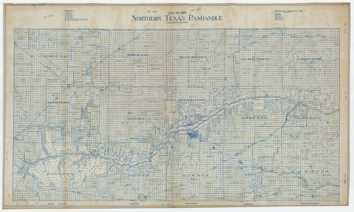

Northern Texas Panhandle
1926
-
Size
71.6 x 43.0 inches
-
Map/Doc
89915
-
Creation Date
1926
PSL Field Notes for Blocks 1 and 2, Hansford and Sherman Counties, Blocks 3 and 4, Hansford County, Blocks A1, A2, A4, A5, and A6 in Hartley County, Block C0 in Hockley, Lubbock, Lynn, and Terry Counties, and Blocks A and B in Kent County


PSL Field Notes for Blocks 1 and 2, Hansford and Sherman Counties, Blocks 3 and 4, Hansford County, Blocks A1, A2, A4, A5, and A6 in Hartley County, Block C0 in Hockley, Lubbock, Lynn, and Terry Counties, and Blocks A and B in Kent County
-
Map/Doc
81655
Potter County Boundary File 2


Print $30.00
- Digital $50.00
Potter County Boundary File 2
-
Size
9.0 x 6.0 inches
-
Map/Doc
57952
Potter County Boundary File 2a


Print $82.00
- Digital $50.00
Potter County Boundary File 2a
-
Size
94.2 x 8.7 inches
-
Map/Doc
57967
Sherman Co., U. S. Public Land


Print $20.00
- Digital $50.00
Sherman Co., U. S. Public Land
-
Size
15.5 x 17.4 inches
-
Map/Doc
91895
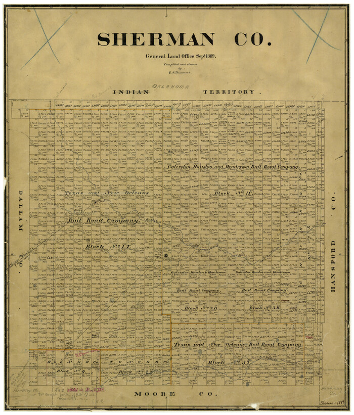
Sherman County

Print $20.00
- Digital $50.00
Sherman County
1889
-
Size
22.3 x 19.0 inches
-
Map/Doc
4036
-
Creation Date
1889
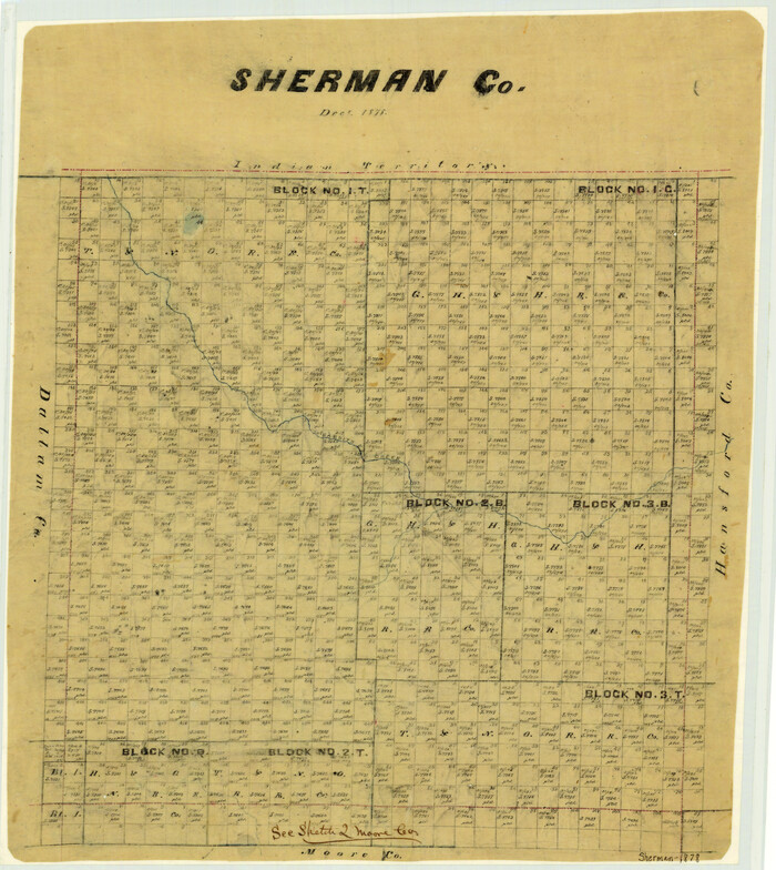
Sherman County

Print $20.00
- Digital $50.00
Sherman County
1878
-
Size
19.7 x 17.6 inches
-
Map/Doc
4037
-
Creation Date
1878
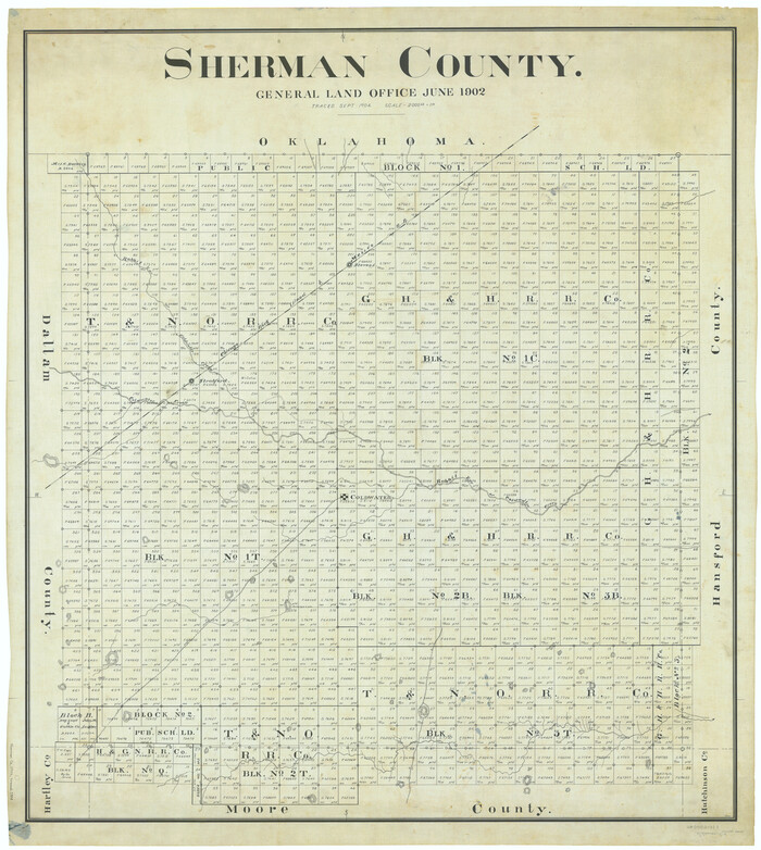
Sherman County

Print $20.00
- Digital $50.00
Sherman County
1902
-
Size
41.0 x 36.7 inches
-
Map/Doc
63035
-
Creation Date
1902
Sherman County
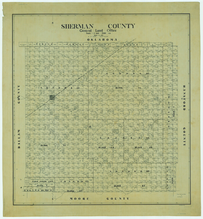

Print $20.00
- Digital $50.00
Sherman County
1932
-
Size
43.1 x 39.9 inches
-
Map/Doc
63036
-
Creation Date
1932
