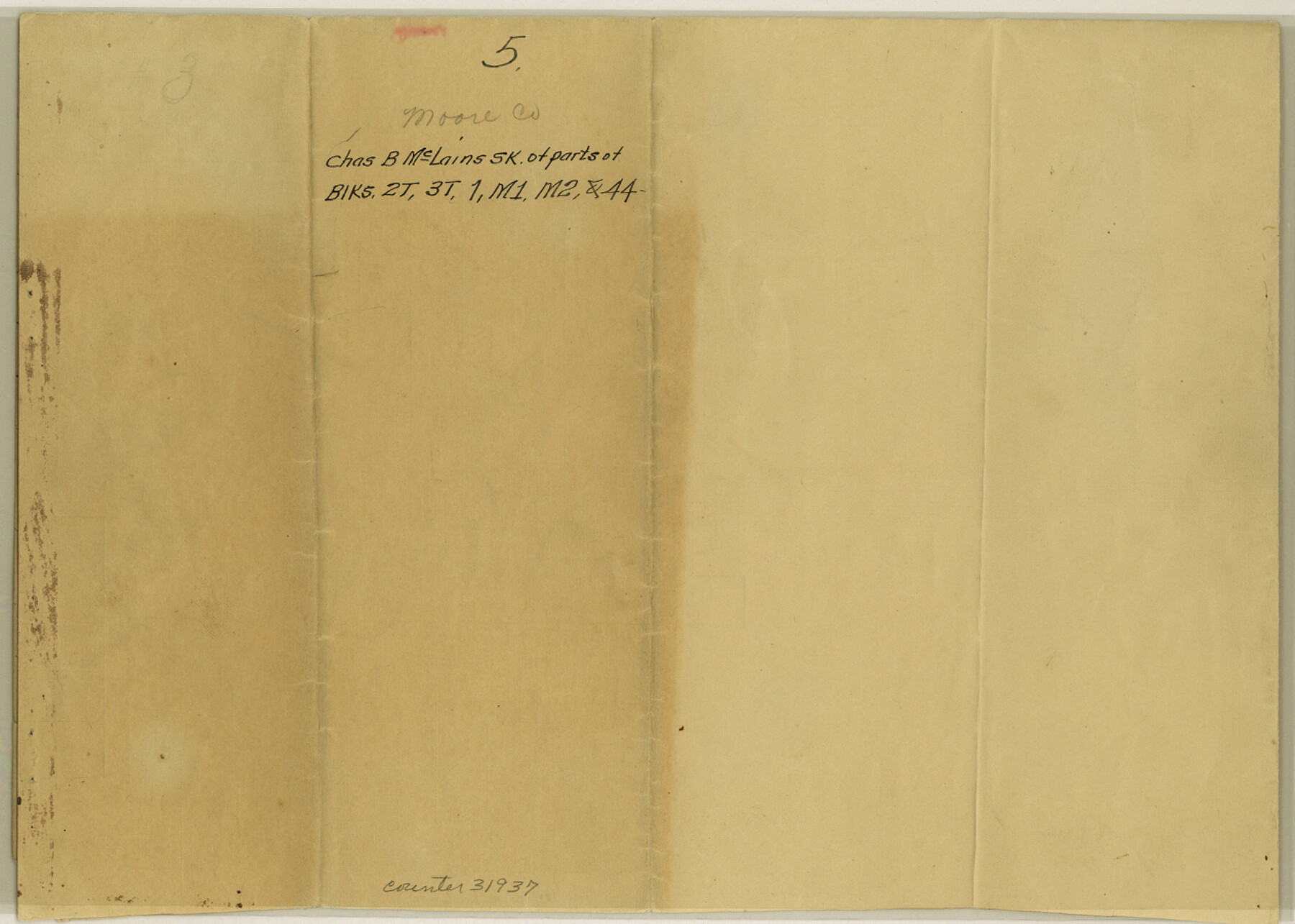
Moore County Sketch File 5
[Sketch of parts of Blocks 2T, 3T, 1, M1, M2 and 44 north, east, and southeast of Dumas]
-
Map/Doc
31937
-
Collection
General Map Collection
-
People and Organizations
McLain (Surveyor/Engineer)
-
Counties
Moore Sherman
-
Subjects
Surveying Sketch File
-
Height x Width
9.0 x 12.6 inches
22.9 x 32.0 cm
-
Medium
paper, manuscript
-
Features
Blue Creek
Part of: General Map Collection
Kent County Working Sketch 16

Print $20.00
- Digital $50.00
Kent County Working Sketch 16
1972
Size 32.4 x 31.5 inches
Map/Doc 70023
Map Illustrating the plan of the defences of the Western & North-Western Frontier, as proposed by Charles Gratiot in his report of Oct. 31, 1837

Print $20.00
- Digital $50.00
Map Illustrating the plan of the defences of the Western & North-Western Frontier, as proposed by Charles Gratiot in his report of Oct. 31, 1837
1837
Size 23.8 x 17.7 inches
Map/Doc 95698
Brewster County Working Sketch 118.2

Print $20.00
- Digital $50.00
Brewster County Working Sketch 118.2
Size 26.8 x 20.6 inches
Map/Doc 67871
Coke County Sketch File 27

Print $26.00
- Digital $50.00
Coke County Sketch File 27
1937
Size 11.2 x 8.7 inches
Map/Doc 18638
Classification of Blocks 1 to 58, Set Apart to University by Constitution of 1876 by M. B. Moore

Classification of Blocks 1 to 58, Set Apart to University by Constitution of 1876 by M. B. Moore
Map/Doc 81726
Presidio County Rolled Sketch 61

Print $20.00
- Digital $50.00
Presidio County Rolled Sketch 61
1914
Size 16.0 x 19.7 inches
Map/Doc 7353
Montgomery County Sketch File 1

Print $4.00
- Digital $50.00
Montgomery County Sketch File 1
Size 11.4 x 8.0 inches
Map/Doc 31762
Texas Panhandle East Boundary Line

Print $40.00
- Digital $50.00
Texas Panhandle East Boundary Line
1898
Size 9.2 x 64.9 inches
Map/Doc 1716
Sutton County Sketch File 36a

Print $61.00
- Digital $50.00
Sutton County Sketch File 36a
Size 9.0 x 9.0 inches
Map/Doc 37472
Wise County Sketch File 52

Print $20.00
- Digital $50.00
Wise County Sketch File 52
1982
Size 14.2 x 8.6 inches
Map/Doc 40619
Denton County Working Sketch 23

Print $20.00
- Digital $50.00
Denton County Working Sketch 23
1982
Size 18.6 x 14.1 inches
Map/Doc 68628
Map of a part of Laguna Madre showing subdivision for mineral development

Print $20.00
- Digital $50.00
Map of a part of Laguna Madre showing subdivision for mineral development
1948
Size 42.9 x 31.0 inches
Map/Doc 2913
You may also like
Montgomery County Working Sketch 46

Print $20.00
- Digital $50.00
Montgomery County Working Sketch 46
1957
Size 25.6 x 28.1 inches
Map/Doc 71153
Map of survey of a part of Padre and Mustang Islands made for the Office of the Attorney General of the State of Texas

Print $20.00
- Digital $50.00
Map of survey of a part of Padre and Mustang Islands made for the Office of the Attorney General of the State of Texas
1941
Size 40.8 x 39.5 inches
Map/Doc 2257
Lynn County Rolled Sketch B

Print $20.00
- Digital $50.00
Lynn County Rolled Sketch B
1908
Size 27.9 x 33.1 inches
Map/Doc 6653
Blanco County Boundary File 6

Print $10.00
- Digital $50.00
Blanco County Boundary File 6
Size 8.5 x 9.6 inches
Map/Doc 50560
Brewster County Sketch File N-3c

Print $4.00
- Digital $50.00
Brewster County Sketch File N-3c
Size 12.7 x 8.4 inches
Map/Doc 15594
Right of Way and Track Map, the Missouri, Kansas and Texas Ry. of Texas operated by the Missouri, Kansas and Texas Ry. of Texas, San Antonio Division

Print $40.00
- Digital $50.00
Right of Way and Track Map, the Missouri, Kansas and Texas Ry. of Texas operated by the Missouri, Kansas and Texas Ry. of Texas, San Antonio Division
1918
Size 25.3 x 58.3 inches
Map/Doc 64579

Presidio County Sketch File 88

Print $6.00
- Digital $50.00
Presidio County Sketch File 88
Size 14.5 x 8.8 inches
Map/Doc 34751
Liberty County Sketch File 67

Print $28.00
- Digital $50.00
Liberty County Sketch File 67
1996
Size 11.3 x 8.8 inches
Map/Doc 30135
Hidalgo County Sketch File 12

Print $20.00
- Digital $50.00
Hidalgo County Sketch File 12
Size 16.3 x 25.1 inches
Map/Doc 11763
Dimmit County Working Sketch 57

Print $20.00
- Digital $50.00
Dimmit County Working Sketch 57
2008
Size 26.1 x 31.7 inches
Map/Doc 88847
South Part of Webb County

Print $40.00
- Digital $50.00
South Part of Webb County
1984
Size 41.2 x 61.5 inches
Map/Doc 77453