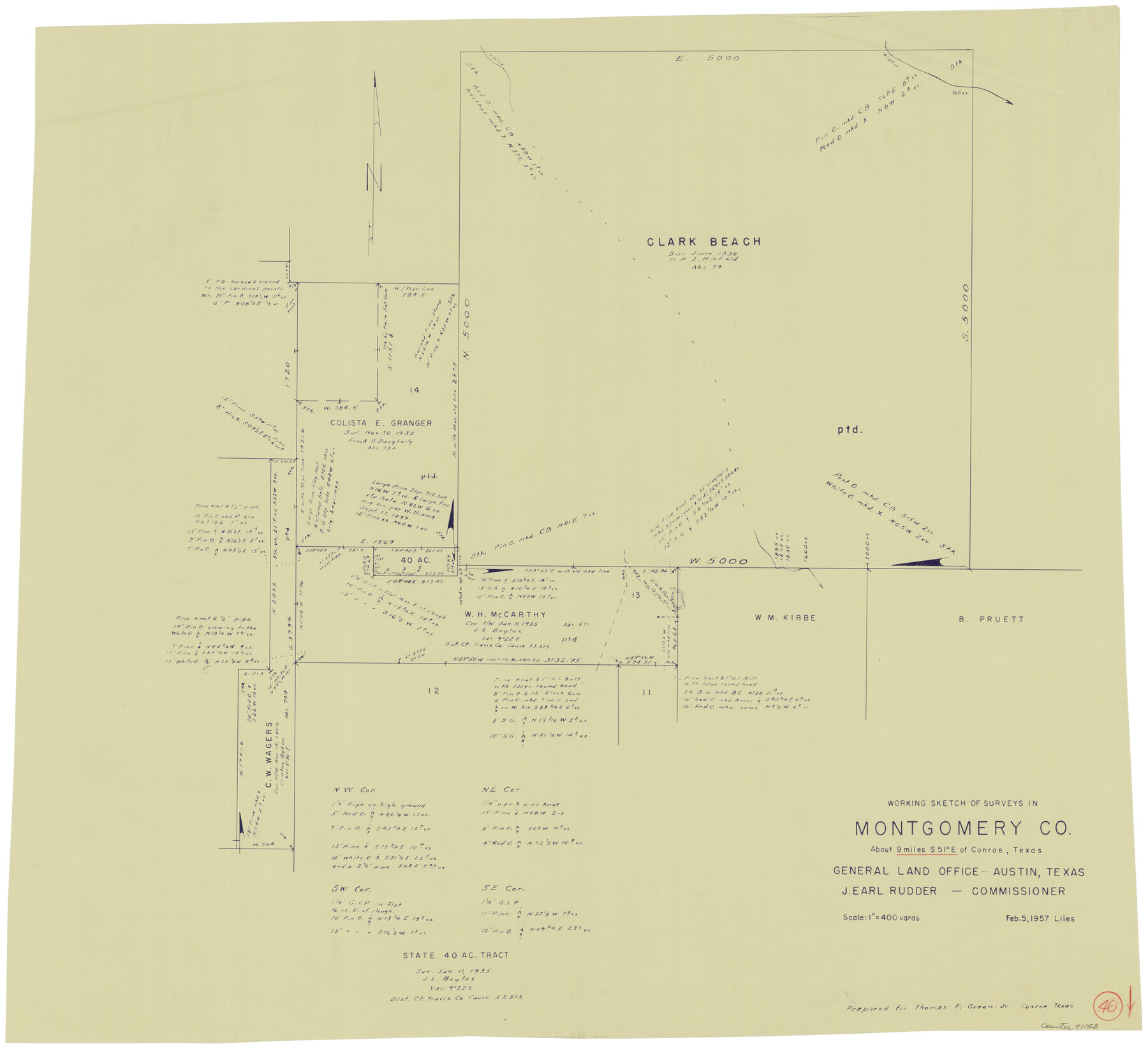
Montgomery County Working Sketch 46
-
Map/Doc
71153
-
Collection
General Map Collection
-
Object Dates
2/5/1957 (Creation Date)
-
People and Organizations
M. L. Liles (Draftsman)
-
Counties
Montgomery
-
Subjects
Surveying Working Sketch
-
Height x Width
25.6 x 28.1 inches
65.0 x 71.4 cm
-
Scale
1" = 400 varas
Part of: General Map Collection
Map of Midland County

Print $20.00
- Digital $50.00
Map of Midland County
1901
Size 43.9 x 38.3 inches
Map/Doc 7825
Fort Bend County Rolled Sketch P

Print $20.00
- Digital $50.00
Fort Bend County Rolled Sketch P
Size 16.6 x 11.2 inches
Map/Doc 5907
Val Verde County Working Sketch 54

Print $20.00
- Digital $50.00
Val Verde County Working Sketch 54
1956
Size 24.0 x 20.4 inches
Map/Doc 72189
Pecos County Rolled Sketch 100

Print $20.00
- Digital $50.00
Pecos County Rolled Sketch 100
1936
Size 45.2 x 25.2 inches
Map/Doc 9712
Schleicher County Rolled Sketch 24

Print $20.00
- Digital $50.00
Schleicher County Rolled Sketch 24
Size 29.1 x 15.9 inches
Map/Doc 7763
Milam County Sketch File 7

Print $6.00
- Digital $50.00
Milam County Sketch File 7
1838
Size 13.0 x 8.0 inches
Map/Doc 31636
Young County Working Sketch 5

Print $20.00
- Digital $50.00
Young County Working Sketch 5
1919
Size 14.3 x 7.1 inches
Map/Doc 62028
Hutchinson County Rolled Sketch 44-2

Print $20.00
- Digital $50.00
Hutchinson County Rolled Sketch 44-2
2002
Size 24.0 x 36.0 inches
Map/Doc 77538
Harrison County

Print $20.00
- Digital $50.00
Harrison County
1920
Size 42.8 x 39.8 inches
Map/Doc 73173
Hardin County Sketch File 3a

Print $12.00
- Digital $50.00
Hardin County Sketch File 3a
1858
Size 10.0 x 7.9 inches
Map/Doc 25088
Comal County Rolled Sketch 1

Print $20.00
- Digital $50.00
Comal County Rolled Sketch 1
1972
Size 24.2 x 19.6 inches
Map/Doc 5535
Flight Mission No. BRA-7M, Frame 27, Jefferson County

Print $20.00
- Digital $50.00
Flight Mission No. BRA-7M, Frame 27, Jefferson County
1953
Size 18.5 x 22.3 inches
Map/Doc 85478
You may also like
Hopkins County Sketch File 15

Print $4.00
- Digital $50.00
Hopkins County Sketch File 15
Size 10.6 x 7.3 inches
Map/Doc 26711
Val Verde County Rolled Sketch 28

Print $20.00
- Digital $50.00
Val Verde County Rolled Sketch 28
Size 28.5 x 36.1 inches
Map/Doc 8110
Ochiltree County Boundary File 9

Print $18.00
- Digital $50.00
Ochiltree County Boundary File 9
Size 11.2 x 8.7 inches
Map/Doc 57719
Refugio County Working Sketch 10

Print $20.00
- Digital $50.00
Refugio County Working Sketch 10
1941
Size 43.0 x 30.1 inches
Map/Doc 63519

Collin County Boundary File 18d

Print $20.00
- Digital $50.00
Collin County Boundary File 18d
Size 12.8 x 8.2 inches
Map/Doc 51739
Val Verde County Rolled Sketch 74

Print $20.00
- Digital $50.00
Val Verde County Rolled Sketch 74
Size 18.9 x 19.5 inches
Map/Doc 8137
Gaines County Rolled Sketch 30

Print $20.00
- Digital $50.00
Gaines County Rolled Sketch 30
1962
Size 19.4 x 26.3 inches
Map/Doc 5943
Texas Gulf Coast Map from the Sabine River to the Rio Grande as subdivided for mineral development

Print $20.00
- Digital $50.00
Texas Gulf Coast Map from the Sabine River to the Rio Grande as subdivided for mineral development
1948
Size 31.0 x 39.7 inches
Map/Doc 2912
General Highway Map, McLennan County, Texas

Print $20.00
General Highway Map, McLennan County, Texas
1940
Size 18.3 x 24.6 inches
Map/Doc 79191

General Highway Map, Gonzales County, Texas

Print $20.00
General Highway Map, Gonzales County, Texas
1961
Size 18.2 x 24.7 inches
Map/Doc 79482