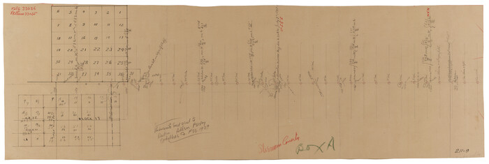
Lipscomb County Sketch File 1


Print $40.00
- Digital $50.00
Lipscomb County Sketch File 1
Size: 51.7 x 14.2 inches
10525
Moore County Sketch File 7


Print $20.00
- Digital $50.00
Moore County Sketch File 7
Size: 24.6 x 45.8 inches
10553
Dallam County Sketch File 13


Print $20.00
- Digital $50.00
Dallam County Sketch File 13
Size: 22.2 x 20.3 inches
11280
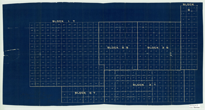
Sherman County Sketch File 2

Print $20.00
- Digital $50.00
Sherman County Sketch File 2
Size: 19.5 x 36.3 inches
12323
Moore County Sketch File 2


Print $36.00
- Digital $50.00
Moore County Sketch File 2
Size: 14.2 x 8.6 inches
31929
Moore County Sketch File 5


Print $22.00
- Digital $50.00
Moore County Sketch File 5
Size: 9.0 x 12.6 inches
31937
Potter County Boundary File 2


Print $30.00
- Digital $50.00
Potter County Boundary File 2
Size: 9.0 x 6.0 inches
57952
Potter County Boundary File 2a


Print $82.00
- Digital $50.00
Potter County Boundary File 2a
Size: 94.2 x 8.7 inches
57967
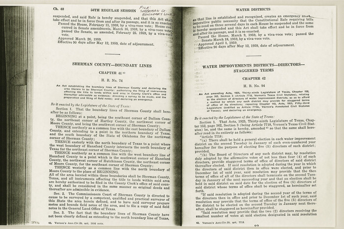
Sherman County Boundary File Index

Print $2.00
- Digital $50.00
Sherman County Boundary File Index
Size: 8.8 x 13.2 inches
58750
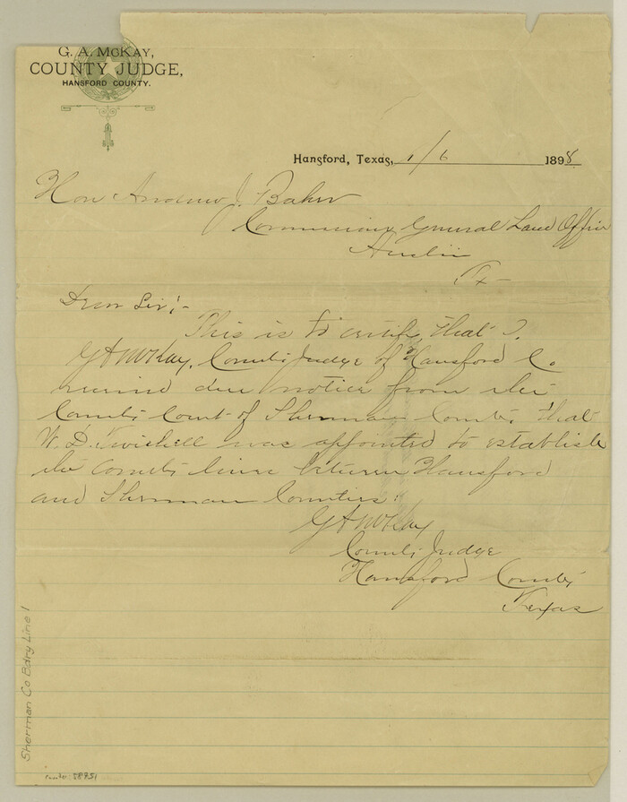
Sherman County Boundary File 1

Print $20.00
- Digital $50.00
Sherman County Boundary File 1
Size: 11.4 x 8.9 inches
58751
Sherman County Boundary File 2


Print $34.00
- Digital $50.00
Sherman County Boundary File 2
Size: 13.0 x 9.0 inches
58761
Sherman County Boundary File 2a
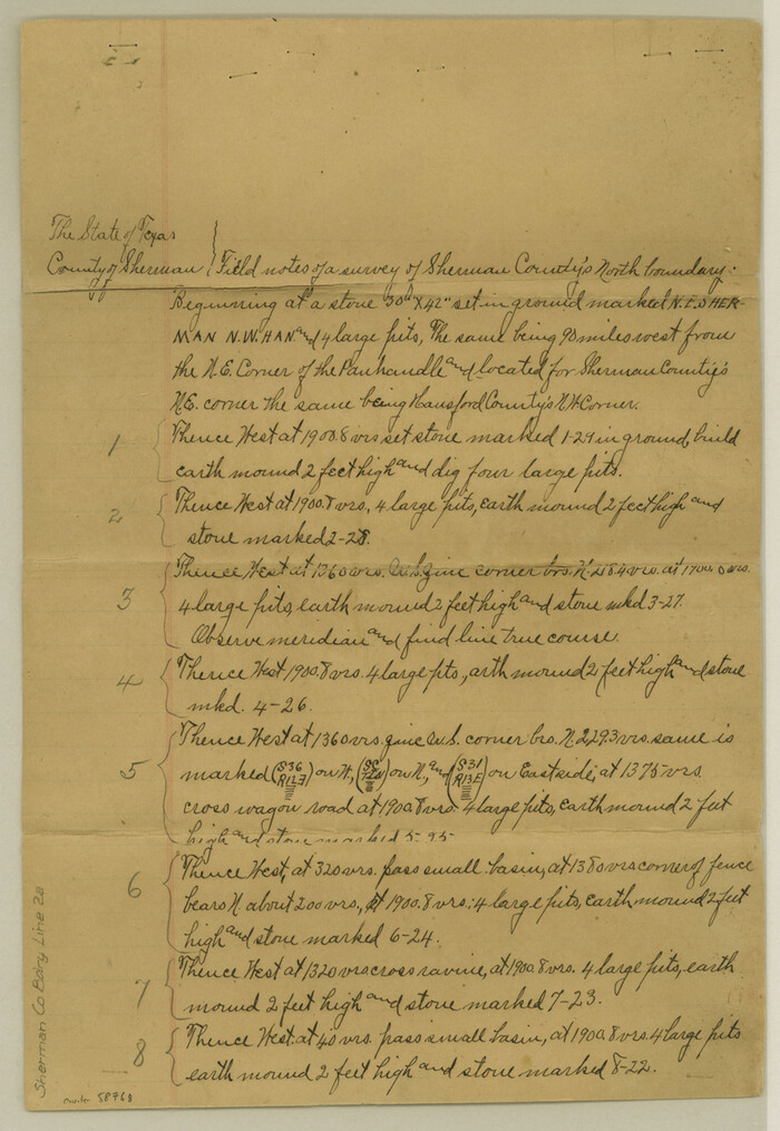

Print $10.00
- Digital $50.00
Sherman County Boundary File 2a
Size: 12.9 x 8.9 inches
58768
Sherman County Boundary File 3
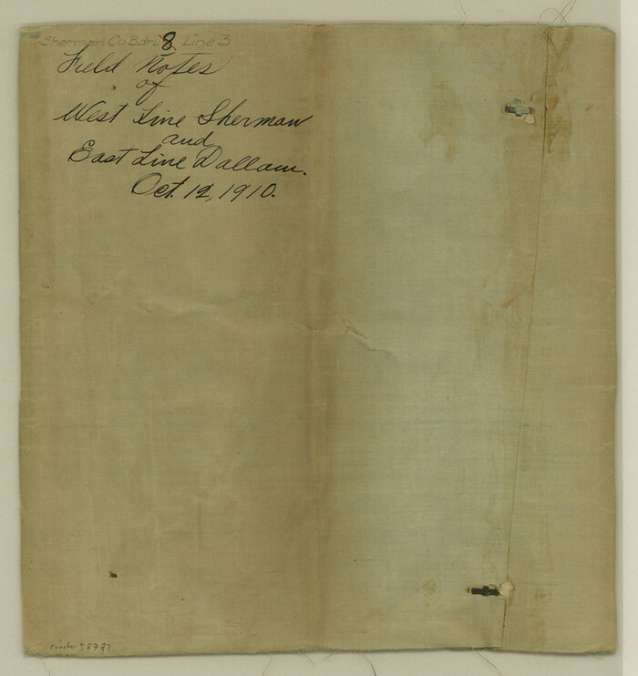

Print $55.00
- Digital $50.00
Sherman County Boundary File 3
Size: 9.2 x 8.6 inches
58773
Sherman County Boundary File 4
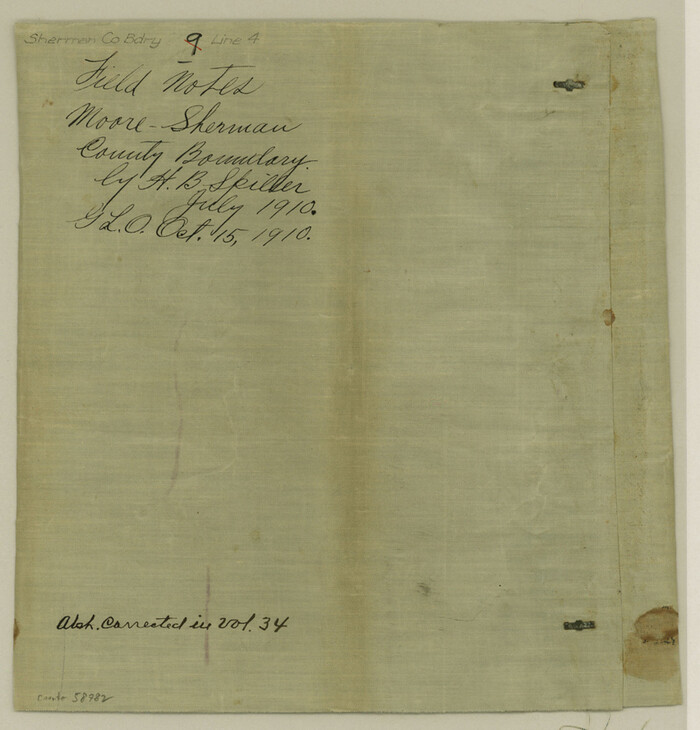

Print $54.00
- Digital $50.00
Sherman County Boundary File 4
Size: 8.9 x 8.5 inches
58782
Sherman County, Texas
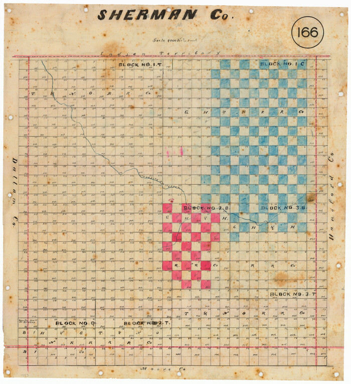

Print $20.00
- Digital $50.00
Sherman County, Texas
Size: 19.1 x 18.8 inches
753
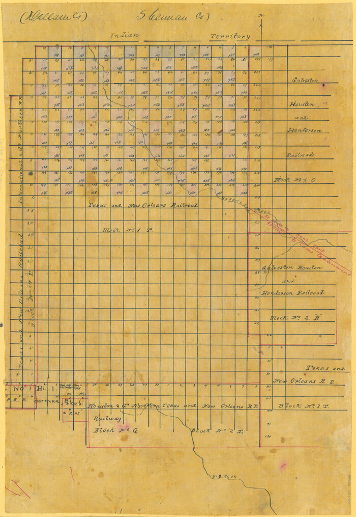
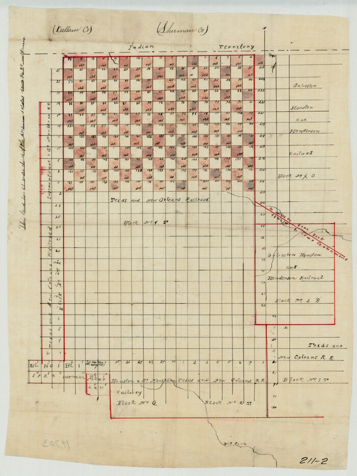
[Sketch Showing Railroad land surveys in Dallam & Sherman Counties, Texas]

Print $20.00
- Digital $50.00
[Sketch Showing Railroad land surveys in Dallam & Sherman Counties, Texas]
Size: 19.4 x 13.4 inches
75786
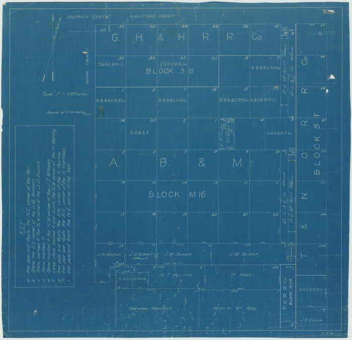
[Sketch Showing G. H. & H. R.R. Co. Block 3B and A. B. & M. Block M16, Hutchinson County, Texas]

Print $20.00
- Digital $50.00
[Sketch Showing G. H. & H. R.R. Co. Block 3B and A. B. & M. Block M16, Hutchinson County, Texas]
Size: 20.7 x 21.5 inches
75813
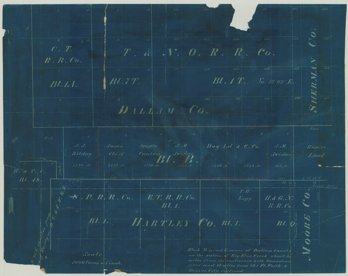
[Surveying Sketch of T. & N. O. R. R. Co., S. P. R. R. Co., E. T. R. R. Co., et al in Dallam, Hartley, Sherman & Moore Counties, Texas]

Print $20.00
- Digital $50.00
[Surveying Sketch of T. & N. O. R. R. Co., S. P. R. R. Co., E. T. R. R. Co., et al in Dallam, Hartley, Sherman & Moore Counties, Texas]
Size: 17.5 x 22.1 inches
75824
Hutchinson County Rolled Sketch 2


Print $20.00
- Digital $50.00
Hutchinson County Rolled Sketch 2
Size: 36.1 x 42.0 inches
76069
Sherman County Rolled Sketch 4


Print $20.00
- Digital $50.00
Sherman County Rolled Sketch 4
Size: 23.1 x 31.7 inches
7786
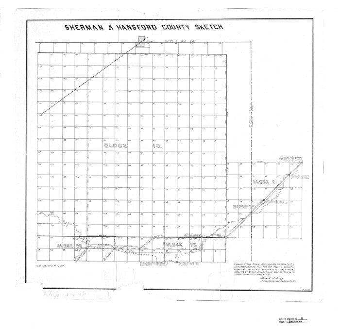
Sherman County Rolled Sketch 8

Print $20.00
- Digital $50.00
Sherman County Rolled Sketch 8
Size: 25.3 x 26.2 inches
7788
PSL Field Notes for Blocks 1 and 2, Hansford and Sherman Counties, Blocks 3 and 4, Hansford County, Blocks A1, A2, A4, A5, and A6 in Hartley County, Block C0 in Hockley, Lubbock, Lynn, and Terry Counties, and Blocks A and B in Kent County


PSL Field Notes for Blocks 1 and 2, Hansford and Sherman Counties, Blocks 3 and 4, Hansford County, Blocks A1, A2, A4, A5, and A6 in Hartley County, Block C0 in Hockley, Lubbock, Lynn, and Terry Counties, and Blocks A and B in Kent County
81655
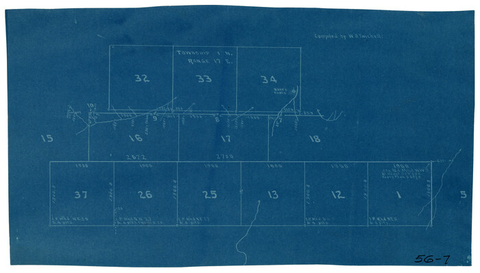
[PSL Block 1 along State line]

Print $2.00
- Digital $50.00
[PSL Block 1 along State line]
Size: 14.1 x 8.0 inches
90579
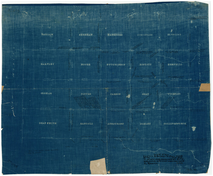
[Map of Panhandle Counties]

Print $20.00
- Digital $50.00
[Map of Panhandle Counties]
Size: 27.4 x 22.9 inches
91170
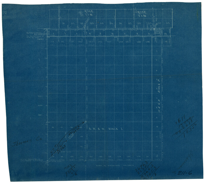
[G. H. & H. Block 2]

Print $20.00
- Digital $50.00
[G. H. & H. Block 2]
Size: 20.6 x 18.4 inches
91894
Sherman Co., U. S. Public Land


Print $20.00
- Digital $50.00
Sherman Co., U. S. Public Land
Size: 15.5 x 17.4 inches
91895
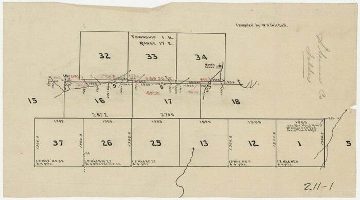
[Surveys in PSL Block 1]

Print $2.00
- Digital $50.00
[Surveys in PSL Block 1]
Size: 14.4 x 7.9 inches
91900
[T. & N. O. RR. Block 1T]

Print $20.00
- Digital $50.00
[T. & N. O. RR. Block 1T]
Size: 14.9 x 20.0 inches
91902
Lipscomb County Sketch File 1


Print $40.00
- Digital $50.00
Lipscomb County Sketch File 1
-
Size
51.7 x 14.2 inches
-
Map/Doc
10525
Moore County Sketch File 7


Print $20.00
- Digital $50.00
Moore County Sketch File 7
-
Size
24.6 x 45.8 inches
-
Map/Doc
10553
Dallam County Sketch File 13


Print $20.00
- Digital $50.00
Dallam County Sketch File 13
-
Size
22.2 x 20.3 inches
-
Map/Doc
11280
Sherman County Sketch File 2


Print $20.00
- Digital $50.00
Sherman County Sketch File 2
-
Size
19.5 x 36.3 inches
-
Map/Doc
12323
Moore County Sketch File 2


Print $36.00
- Digital $50.00
Moore County Sketch File 2
-
Size
14.2 x 8.6 inches
-
Map/Doc
31929
Moore County Sketch File 5


Print $22.00
- Digital $50.00
Moore County Sketch File 5
-
Size
9.0 x 12.6 inches
-
Map/Doc
31937
Potter County Boundary File 2


Print $30.00
- Digital $50.00
Potter County Boundary File 2
-
Size
9.0 x 6.0 inches
-
Map/Doc
57952
Potter County Boundary File 2a


Print $82.00
- Digital $50.00
Potter County Boundary File 2a
-
Size
94.2 x 8.7 inches
-
Map/Doc
57967
Sherman County Boundary File Index


Print $2.00
- Digital $50.00
Sherman County Boundary File Index
-
Size
8.8 x 13.2 inches
-
Map/Doc
58750
Sherman County Boundary File 1


Print $20.00
- Digital $50.00
Sherman County Boundary File 1
-
Size
11.4 x 8.9 inches
-
Map/Doc
58751
Sherman County Boundary File 2


Print $34.00
- Digital $50.00
Sherman County Boundary File 2
-
Size
13.0 x 9.0 inches
-
Map/Doc
58761
Sherman County Boundary File 2a


Print $10.00
- Digital $50.00
Sherman County Boundary File 2a
-
Size
12.9 x 8.9 inches
-
Map/Doc
58768
Sherman County Boundary File 3


Print $55.00
- Digital $50.00
Sherman County Boundary File 3
-
Size
9.2 x 8.6 inches
-
Map/Doc
58773
Sherman County Boundary File 4


Print $54.00
- Digital $50.00
Sherman County Boundary File 4
-
Size
8.9 x 8.5 inches
-
Map/Doc
58782
Sherman County, Texas


Print $20.00
- Digital $50.00
Sherman County, Texas
-
Size
19.1 x 18.8 inches
-
Map/Doc
753
[Sketch Showing Railroad land surveys in Dallam & Sherman Counties, Texas]
![75786, [Sketch Showing Railroad land surveys in Dallam & Sherman Counties, Texas], Maddox Collection](https://historictexasmaps.com/wmedia_w700/maps/75786.tif.jpg)
![75786, [Sketch Showing Railroad land surveys in Dallam & Sherman Counties, Texas], Maddox Collection](https://historictexasmaps.com/wmedia_w700/maps/75786.tif.jpg)
Print $20.00
- Digital $50.00
[Sketch Showing Railroad land surveys in Dallam & Sherman Counties, Texas]
-
Size
19.4 x 13.4 inches
-
Map/Doc
75786
[Sketch Showing G. H. & H. R.R. Co. Block 3B and A. B. & M. Block M16, Hutchinson County, Texas]
![75813, [Sketch Showing G. H. & H. R.R. Co. Block 3B and A. B. & M. Block M16, Hutchinson County, Texas], Maddox Collection](https://historictexasmaps.com/wmedia_w700/maps/75813.tif.jpg)
![75813, [Sketch Showing G. H. & H. R.R. Co. Block 3B and A. B. & M. Block M16, Hutchinson County, Texas], Maddox Collection](https://historictexasmaps.com/wmedia_w700/maps/75813.tif.jpg)
Print $20.00
- Digital $50.00
[Sketch Showing G. H. & H. R.R. Co. Block 3B and A. B. & M. Block M16, Hutchinson County, Texas]
-
Size
20.7 x 21.5 inches
-
Map/Doc
75813
[Surveying Sketch of T. & N. O. R. R. Co., S. P. R. R. Co., E. T. R. R. Co., et al in Dallam, Hartley, Sherman & Moore Counties, Texas]
![75824, [Surveying Sketch of T. & N. O. R. R. Co., S. P. R. R. Co., E. T. R. R. Co., et al in Dallam, Hartley, Sherman & Moore Counties, Texas], Maddox Collection](https://historictexasmaps.com/wmedia_w700/maps/75824.tif.jpg)
![75824, [Surveying Sketch of T. & N. O. R. R. Co., S. P. R. R. Co., E. T. R. R. Co., et al in Dallam, Hartley, Sherman & Moore Counties, Texas], Maddox Collection](https://historictexasmaps.com/wmedia_w700/maps/75824.tif.jpg)
Print $20.00
- Digital $50.00
[Surveying Sketch of T. & N. O. R. R. Co., S. P. R. R. Co., E. T. R. R. Co., et al in Dallam, Hartley, Sherman & Moore Counties, Texas]
-
Size
17.5 x 22.1 inches
-
Map/Doc
75824
Hutchinson County Rolled Sketch 2


Print $20.00
- Digital $50.00
Hutchinson County Rolled Sketch 2
-
Size
36.1 x 42.0 inches
-
Map/Doc
76069
Sherman County Rolled Sketch 4


Print $20.00
- Digital $50.00
Sherman County Rolled Sketch 4
-
Size
23.1 x 31.7 inches
-
Map/Doc
7786
Sherman County Rolled Sketch 8


Print $20.00
- Digital $50.00
Sherman County Rolled Sketch 8
-
Size
25.3 x 26.2 inches
-
Map/Doc
7788
PSL Field Notes for Blocks 1 and 2, Hansford and Sherman Counties, Blocks 3 and 4, Hansford County, Blocks A1, A2, A4, A5, and A6 in Hartley County, Block C0 in Hockley, Lubbock, Lynn, and Terry Counties, and Blocks A and B in Kent County


PSL Field Notes for Blocks 1 and 2, Hansford and Sherman Counties, Blocks 3 and 4, Hansford County, Blocks A1, A2, A4, A5, and A6 in Hartley County, Block C0 in Hockley, Lubbock, Lynn, and Terry Counties, and Blocks A and B in Kent County
-
Map/Doc
81655
[PSL Block 1 along State line]
![90579, [PSL Block 1 along State line], Twichell Survey Records](https://historictexasmaps.com/wmedia_w700/maps/90579-1.tif.jpg)
![90579, [PSL Block 1 along State line], Twichell Survey Records](https://historictexasmaps.com/wmedia_w700/maps/90579-1.tif.jpg)
Print $2.00
- Digital $50.00
[PSL Block 1 along State line]
-
Size
14.1 x 8.0 inches
-
Map/Doc
90579
[Map of Panhandle Counties]
![91170, [Map of Panhandle Counties], Twichell Survey Records](https://historictexasmaps.com/wmedia_w700/maps/91170-1.tif.jpg)
![91170, [Map of Panhandle Counties], Twichell Survey Records](https://historictexasmaps.com/wmedia_w700/maps/91170-1.tif.jpg)
Print $20.00
- Digital $50.00
[Map of Panhandle Counties]
-
Size
27.4 x 22.9 inches
-
Map/Doc
91170
[G. H. & H. Block 2]
![91894, [G. H. & H. Block 2], Twichell Survey Records](https://historictexasmaps.com/wmedia_w700/maps/91894-1.tif.jpg)
![91894, [G. H. & H. Block 2], Twichell Survey Records](https://historictexasmaps.com/wmedia_w700/maps/91894-1.tif.jpg)
Print $20.00
- Digital $50.00
[G. H. & H. Block 2]
-
Size
20.6 x 18.4 inches
-
Map/Doc
91894
Sherman Co., U. S. Public Land


Print $20.00
- Digital $50.00
Sherman Co., U. S. Public Land
-
Size
15.5 x 17.4 inches
-
Map/Doc
91895
[Surveys in PSL Block 1]
![91900, [Surveys in PSL Block 1], Twichell Survey Records](https://historictexasmaps.com/wmedia_w700/maps/91900-1.tif.jpg)
![91900, [Surveys in PSL Block 1], Twichell Survey Records](https://historictexasmaps.com/wmedia_w700/maps/91900-1.tif.jpg)
Print $2.00
- Digital $50.00
[Surveys in PSL Block 1]
-
Size
14.4 x 7.9 inches
-
Map/Doc
91900
[T. & N. O. RR. Block 1T]
![91902, [T. & N. O. RR. Block 1T], Twichell Survey Records](https://historictexasmaps.com/wmedia_w700/maps/91902-1.tif.jpg)
![91902, [T. & N. O. RR. Block 1T], Twichell Survey Records](https://historictexasmaps.com/wmedia_w700/maps/91902-1.tif.jpg)
Print $20.00
- Digital $50.00
[T. & N. O. RR. Block 1T]
-
Size
14.9 x 20.0 inches
-
Map/Doc
91902

