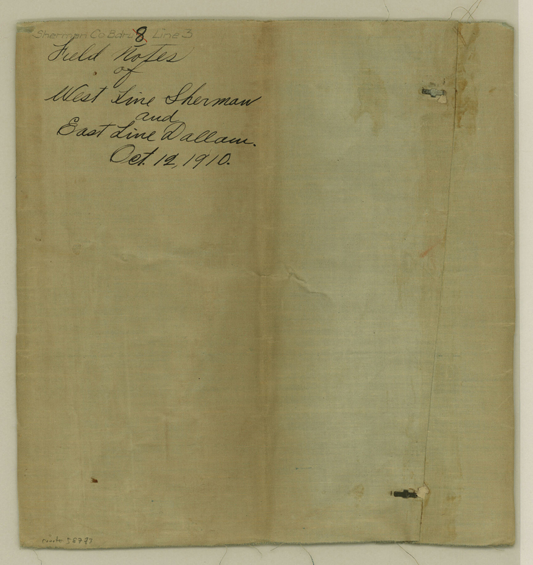
Sherman County Boundary File 3
-
Map/Doc
58773
-
Collection
General Map Collection
-
Counties
Sherman
-
Subjects
County Boundaries
-
Height x Width
9.2 x 8.6 inches
23.4 x 21.8 cm
Part of: General Map Collection
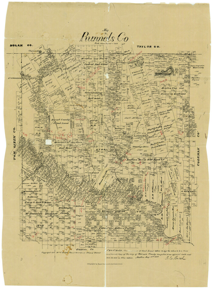
Map of Runnels County

Print $20.00
- Digital $50.00
Map of Runnels County
1879
Size 25.9 x 18.5 inches
Map/Doc 4620
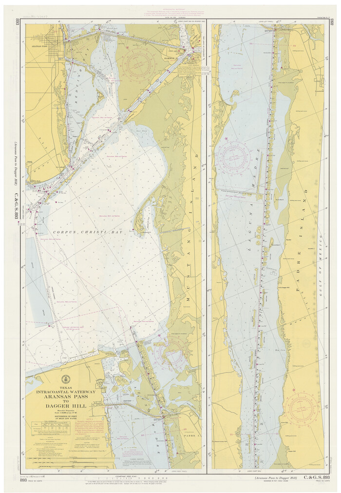
Texas Intracoastal Waterway, Aransas Bay to Aransas Pass

Print $20.00
- Digital $50.00
Texas Intracoastal Waterway, Aransas Bay to Aransas Pass
1962
Size 38.7 x 26.8 inches
Map/Doc 73439
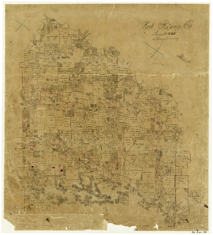
Red River County

Print $20.00
- Digital $50.00
Red River County
1860
Size 23.0 x 20.8 inches
Map/Doc 3980
La Salle County Rolled Sketch 7


Print $40.00
- Digital $50.00
La Salle County Rolled Sketch 7
Size 38.7 x 48.0 inches
Map/Doc 10652
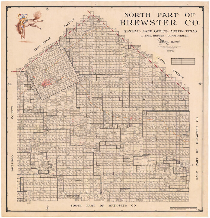
North Part of Brewster Co.

Print $20.00
- Digital $50.00
North Part of Brewster Co.
1956
Size 42.4 x 40.7 inches
Map/Doc 95437
Ellis County Sketch File 15


Print $40.00
- Digital $50.00
Ellis County Sketch File 15
1861
Size 15.7 x 12.5 inches
Map/Doc 21856
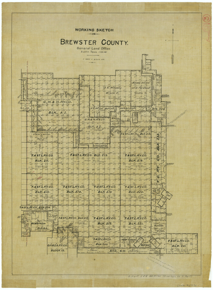
Brewster County Working Sketch 3

Print $20.00
- Digital $50.00
Brewster County Working Sketch 3
1908
Size 26.4 x 19.4 inches
Map/Doc 67536
Wichita County Sketch File 3


Print $8.00
- Digital $50.00
Wichita County Sketch File 3
1856
Size 7.2 x 16.3 inches
Map/Doc 40033
Clay County Sketch File 12


Print $4.00
- Digital $50.00
Clay County Sketch File 12
1873
Size 13.0 x 8.2 inches
Map/Doc 18411
Flight Mission No. DCL-6C, Frame 78, Kenedy County

Print $20.00
- Digital $50.00
Flight Mission No. DCL-6C, Frame 78, Kenedy County
1943
Size 17.5 x 20.7 inches
Map/Doc 85920
Tyler County Rolled Sketch 11


Print $20.00
- Digital $50.00
Tyler County Rolled Sketch 11
Size 34.2 x 36.4 inches
Map/Doc 10033
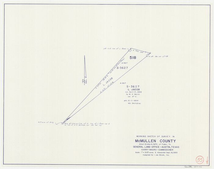
McMullen County Working Sketch 55

Print $20.00
- Digital $50.00
McMullen County Working Sketch 55
1983
Size 15.2 x 19.2 inches
Map/Doc 70756
You may also like
Limestone County Sketch File 21

Print $40.00
- Digital $50.00
Limestone County Sketch File 21
1922
Size 17.0 x 12.3 inches
Map/Doc 30199
Uvalde County
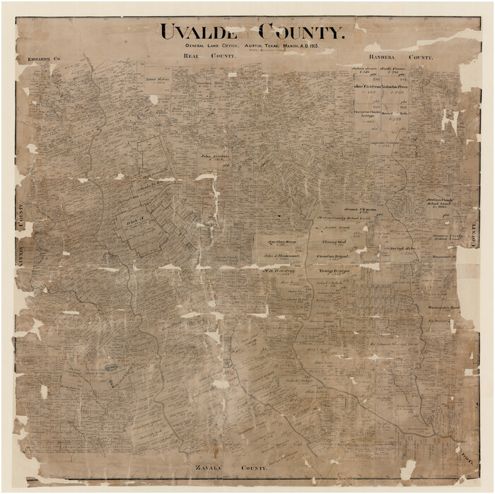

Print $20.00
- Digital $50.00
Uvalde County
1915
Size 46.0 x 46.0 inches
Map/Doc 16910
Harrison County Working Sketch 16


Print $20.00
- Digital $50.00
Harrison County Working Sketch 16
1966
Size 29.2 x 33.0 inches
Map/Doc 66036
Flight Mission No. CLL-1N, Frame 112, Willacy County


Print $20.00
- Digital $50.00
Flight Mission No. CLL-1N, Frame 112, Willacy County
1954
Size 18.4 x 20.1 inches
Map/Doc 87046
[Fort Worth & Rio Grande Ry.]
![64354, [Fort Worth & Rio Grande Ry.], General Map Collection](https://historictexasmaps.com/wmedia_w700/maps/64354.tif.jpg)
![64354, [Fort Worth & Rio Grande Ry.], General Map Collection](https://historictexasmaps.com/wmedia_w700/maps/64354.tif.jpg)
Print $20.00
- Digital $50.00
[Fort Worth & Rio Grande Ry.]
Size 15.2 x 43.0 inches
Map/Doc 64354
Map of the Town of Giddings
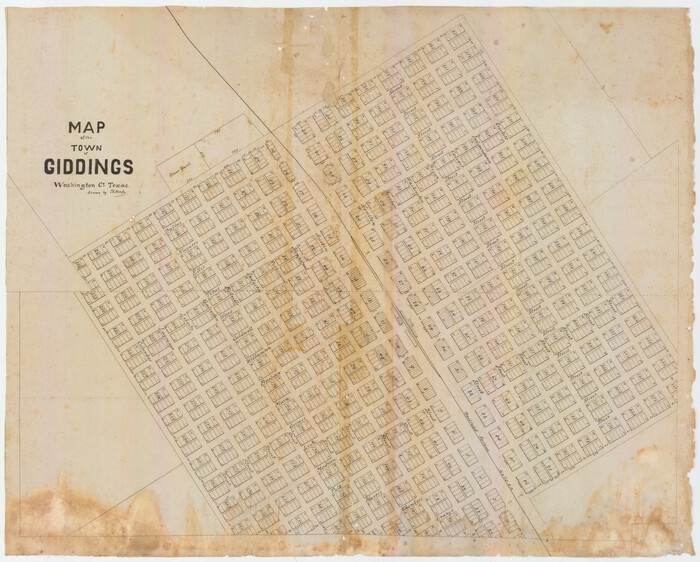

Print $20.00
- Digital $50.00
Map of the Town of Giddings
1871
Size 23.9 x 29.8 inches
Map/Doc 89270
Harrison County Rolled Sketch 2
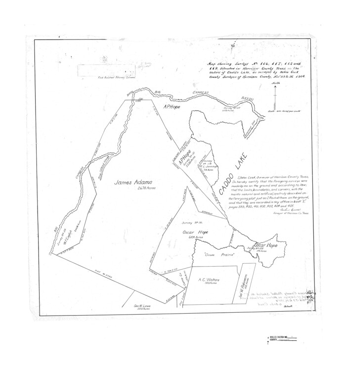

Print $20.00
- Digital $50.00
Harrison County Rolled Sketch 2
1904
Size 29.9 x 28.0 inches
Map/Doc 6149
Loving County Sketch File 7
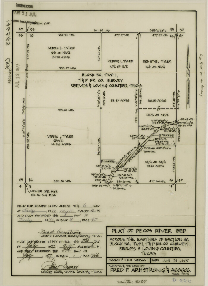

Print $2.00
- Digital $50.00
Loving County Sketch File 7
1977
Size 12.1 x 8.8 inches
Map/Doc 30417
Sketch No. 2 Showing Land Ties with Houston & Texas Central Rail Road through Harris County, Texas


Print $20.00
- Digital $50.00
Sketch No. 2 Showing Land Ties with Houston & Texas Central Rail Road through Harris County, Texas
1880
Size 8.5 x 26.9 inches
Map/Doc 64496
Refugio County Working Sketch 3
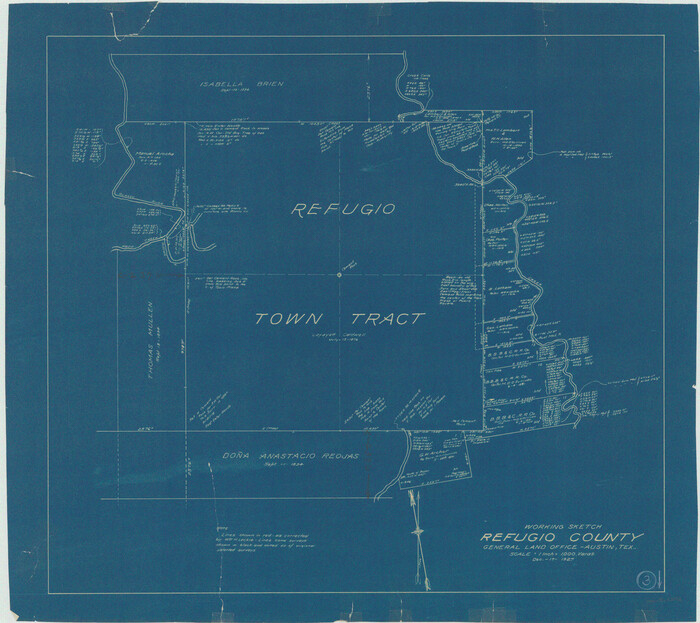

Print $20.00
- Digital $50.00
Refugio County Working Sketch 3
1927
Size 21.9 x 24.6 inches
Map/Doc 63512
Freestone County Sketch File 3


Print $4.00
- Digital $50.00
Freestone County Sketch File 3
Size 8.0 x 12.7 inches
Map/Doc 23042
![92466, [Muleshoe], Twichell Survey Records](https://historictexasmaps.com/wmedia_w700/maps/92466-1.tif.jpg)