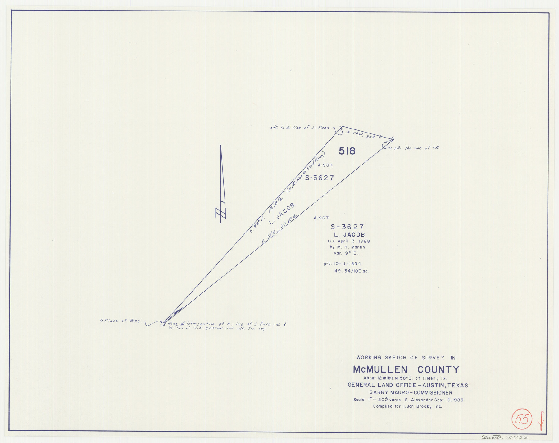
McMullen County Working Sketch 55
-
Map/Doc
70756
-
Collection
General Map Collection
-
Object Dates
9/19/1983 (Creation Date)
-
People and Organizations
Earl Alexander (Draftsman)
-
Counties
McMullen
-
Subjects
Surveying Working Sketch
-
Height x Width
15.2 x 19.2 inches
38.6 x 48.8 cm
-
Scale
1" = 200 varas
Part of: General Map Collection
Map of Starr County Texas

Print $20.00
- Digital $50.00
Map of Starr County Texas
1935
Size 20.2 x 26.8 inches
Map/Doc 4047
Armstrong County Sketch File A-2

Print $40.00
- Digital $50.00
Armstrong County Sketch File A-2
1918
Size 27.0 x 36.6 inches
Map/Doc 10843
Refugio County Rolled Sketch 7

Print $20.00
- Digital $50.00
Refugio County Rolled Sketch 7
1946
Size 28.4 x 34.5 inches
Map/Doc 7508
Edwards County Working Sketch 111

Print $40.00
- Digital $50.00
Edwards County Working Sketch 111
1972
Size 58.1 x 30.8 inches
Map/Doc 68987
Hydrographic Survey H-1288B Corpus Christi Pass

Print $40.00
- Digital $50.00
Hydrographic Survey H-1288B Corpus Christi Pass
1875
Size 31.8 x 52.5 inches
Map/Doc 2692
Flight Mission No. CUG-1P, Frame 105, Kleberg County

Print $20.00
- Digital $50.00
Flight Mission No. CUG-1P, Frame 105, Kleberg County
1956
Size 18.5 x 22.3 inches
Map/Doc 86155
Map of the Fort Worth and Denver City Railway, through Wilbarger County Texas, 1882

Print $40.00
- Digital $50.00
Map of the Fort Worth and Denver City Railway, through Wilbarger County Texas, 1882
Size 22.6 x 79.4 inches
Map/Doc 64427
Flight Mission No. BRA-16M, Frame 116, Jefferson County

Print $20.00
- Digital $50.00
Flight Mission No. BRA-16M, Frame 116, Jefferson County
1953
Size 18.5 x 22.3 inches
Map/Doc 85726
Louisiana and Texas Intracoastal Waterway, Section 7, Galveston Bay to Brazos River and Section 8, Brazos River to Matagorda Bay

Print $20.00
- Digital $50.00
Louisiana and Texas Intracoastal Waterway, Section 7, Galveston Bay to Brazos River and Section 8, Brazos River to Matagorda Bay
1929
Size 30.8 x 43.0 inches
Map/Doc 61841
Culberson County Rolled Sketch 42

Print $20.00
- Digital $50.00
Culberson County Rolled Sketch 42
Size 23.0 x 29.0 inches
Map/Doc 5663
Cochran County

Print $20.00
- Digital $50.00
Cochran County
1946
Size 30.8 x 23.1 inches
Map/Doc 77239
Williamson County Sketch File 20

Print $4.00
- Digital $50.00
Williamson County Sketch File 20
Size 8.2 x 12.9 inches
Map/Doc 40348
You may also like
Val Verde County Sketch File A4

Print $10.00
- Digital $50.00
Val Verde County Sketch File A4
1897
Size 9.2 x 8.5 inches
Map/Doc 39046
Mapa de los Estados Unidos Mejicanos

Print $20.00
Mapa de los Estados Unidos Mejicanos
1831
Size 24.7 x 29.7 inches
Map/Doc 79291
Loving County Working Sketch 11

Print $40.00
- Digital $50.00
Loving County Working Sketch 11
1957
Size 21.2 x 120.7 inches
Map/Doc 70643
Matagorda County Working Sketch 6

Print $20.00
- Digital $50.00
Matagorda County Working Sketch 6
1950
Size 24.2 x 41.5 inches
Map/Doc 70864

Anderson County Sketch File 25

Print $40.00
- Digital $50.00
Anderson County Sketch File 25
1969
Size 40.9 x 21.9 inches
Map/Doc 10316
La Salle County Rolled Sketch 2

Print $20.00
- Digital $50.00
La Salle County Rolled Sketch 2
1915
Size 25.2 x 23.2 inches
Map/Doc 6567
Map of the Mexican Central Railway and Connections

Print $20.00
- Digital $50.00
Map of the Mexican Central Railway and Connections
1892
Size 22.0 x 26.0 inches
Map/Doc 95742
Flight Mission No. BRE-2P, Frame 125, Nueces County

Print $20.00
- Digital $50.00
Flight Mission No. BRE-2P, Frame 125, Nueces County
1956
Size 18.5 x 22.6 inches
Map/Doc 86801
A Topographical Map of the Government Tract Adjoining the City of Austin

Print $20.00
- Digital $50.00
A Topographical Map of the Government Tract Adjoining the City of Austin
1840
Size 40.7 x 36.1 inches
Map/Doc 2177
Maverick County Rolled Sketch 14

Print $20.00
- Digital $50.00
Maverick County Rolled Sketch 14
1848
Size 18.4 x 22.9 inches
Map/Doc 6707
Calhoun County Working Sketch Graphic Index

Print $40.00
- Digital $50.00
Calhoun County Working Sketch Graphic Index
1948
Size 48.2 x 40.1 inches
Map/Doc 76484