257 results

Andrews County Rolled Sketch 42
77182.tif
Print $20.00 - Digital $50.00

Andrews County Rolled Sketch 42

Size: 27.3 x 36.0 inches
77182
Crane County Rolled Sketch 17
5576.tif
Print $20.00 - Digital $50.00

Crane County Rolled Sketch 17

1926

Size: 20.3 x 33.8 inches
5576
Crane County Rolled Sketch 19
5577.tif
Print $20.00 - Digital $50.00

Crane County Rolled Sketch 19

1926

Size: 26.4 x 28.3 inches
5577
Crane County Rolled Sketch 23
76426-1.tif
Print $20.00 - Digital $50.00

Crane County Rolled Sketch 23

2002

Size: 23.9 x 34.3 inches
76426
Crane County Rolled Sketch 4
8337.tif
Print $40.00 - Digital $50.00

Crane County Rolled Sketch 4

Size: 34.7 x 51.9 inches
8337
Crane County Sketch File 15 (C-1)
19579, Crane County Sketch File 15 (C-1), General Map Collection
Print $6.00 - Digital $50.00

Crane County Sketch File 15 (C-1)

1925

Size: 8.8 x 15.4 inches
19579
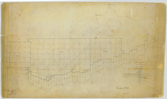
Crane County Sketch File 30
19610, Crane County Sketch File 30, General Map Collection
Print $40.00 - Digital $50.00

Crane County Sketch File 30

1933

Size: 14.0 x 8.4 inches
19610
Crane County Sketch File 3b
11206, Crane County Sketch File 3b, General Map Collection
Print $20.00 - Digital $50.00

Crane County Sketch File 3b

1881

Size: 11.9 x 38.6 inches
11206
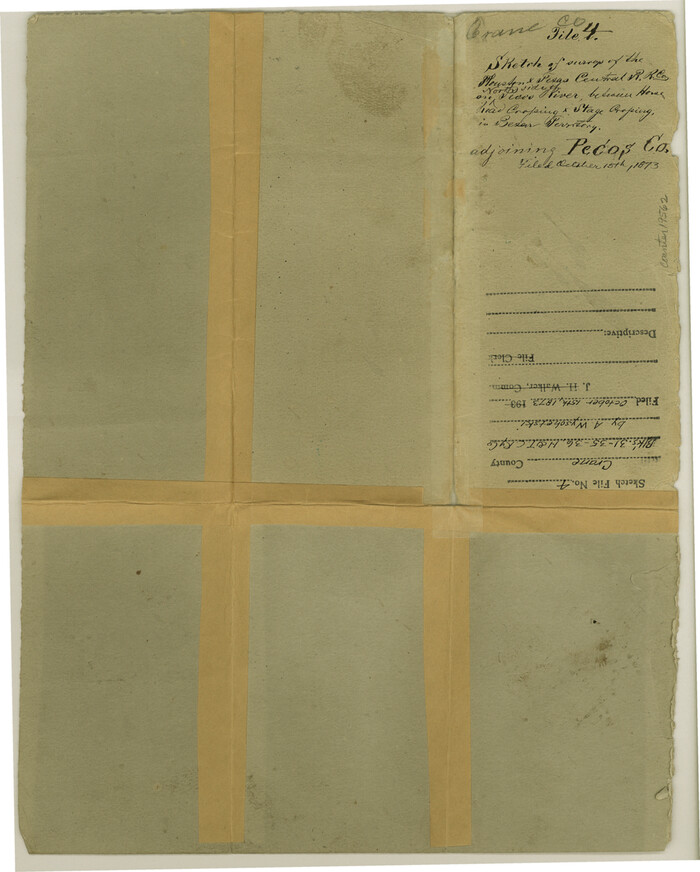
Crane County Sketch File 4
19562, Crane County Sketch File 4, General Map Collection
Print $6.00 - Digital $50.00

Crane County Sketch File 4

Size: 13.6 x 10.9 inches
19562
Crane County Sketch File 9
11208, Crane County Sketch File 9, General Map Collection
Print $20.00 - Digital $50.00

Crane County Sketch File 9

1926

Size: 21.7 x 34.1 inches
11208
Crockett County Rolled Sketch 1
76144.tif
Print $40.00 - Digital $50.00

Crockett County Rolled Sketch 1

1888

Size: 36.5 x 61.1 inches
76144
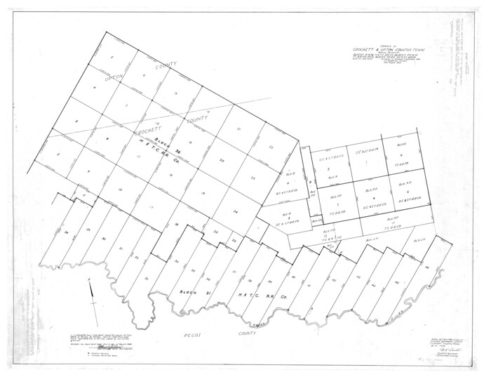
Crockett County Rolled Sketch 49
8713.tif
Print $20.00 - Digital $50.00

Crockett County Rolled Sketch 49

1940
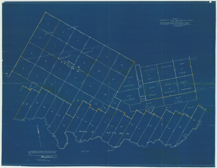
Size: 32.8 x 42.7 inches
8713
Crockett County Rolled Sketch 50
8714.tif
Print $20.00 - Digital $50.00

Crockett County Rolled Sketch 50

1940
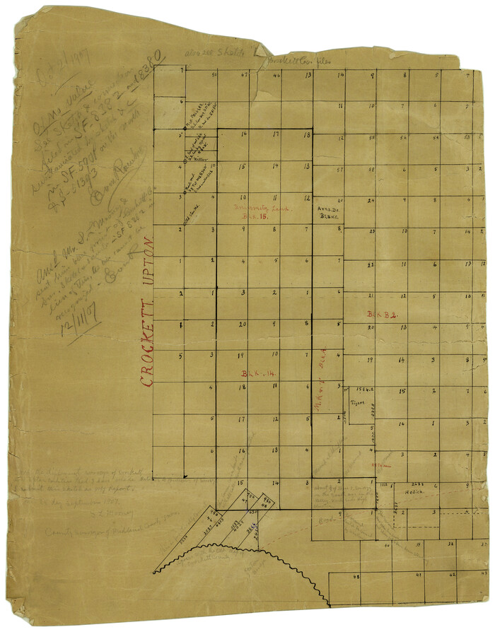
Size: 31.5 x 40.7 inches
8714
Crockett County Rolled Sketch 7
5580.tif
Print $20.00 - Digital $50.00

Crockett County Rolled Sketch 7

Size: 15.6 x 18.9 inches
5580
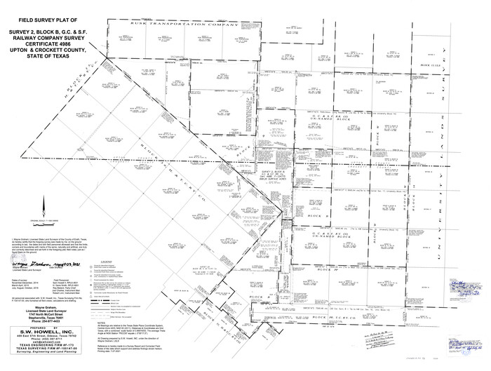
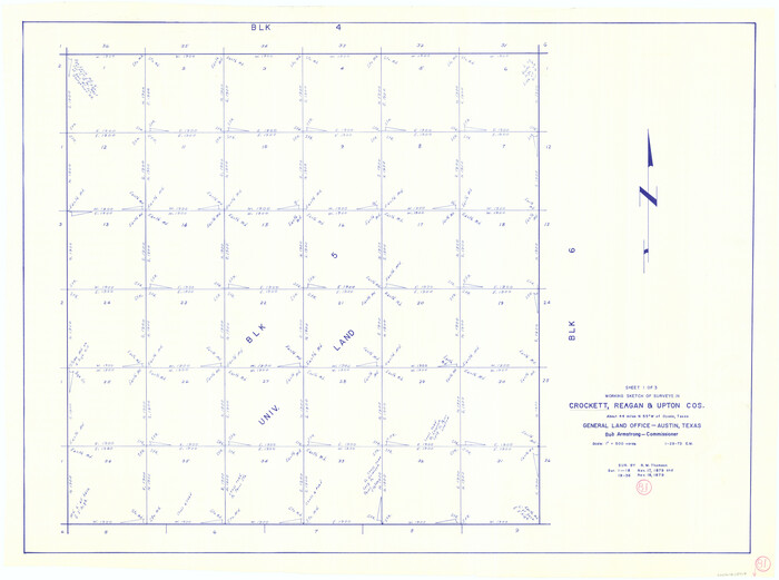
Crockett County Rolled Sketch 98
96577.tif
Print $40.00 - Digital $50.00

Crockett County Rolled Sketch 98

2021

Size: 36.5 x 48.3 inches
96577
Crockett County Rolled Sketch CRV
8693-1.tif
Print $40.00 - Digital $50.00

Crockett County Rolled Sketch CRV

1925
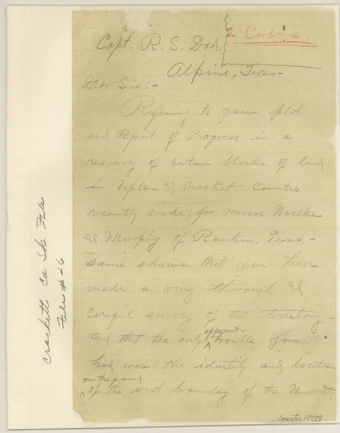
Size: 35.8 x 52.3 inches
8693
Crockett County Sketch File 46
19779, Crockett County Sketch File 46, General Map Collection
Print $20.00 - Digital $50.00

Crockett County Sketch File 46

Size: 11.1 x 8.7 inches
19779
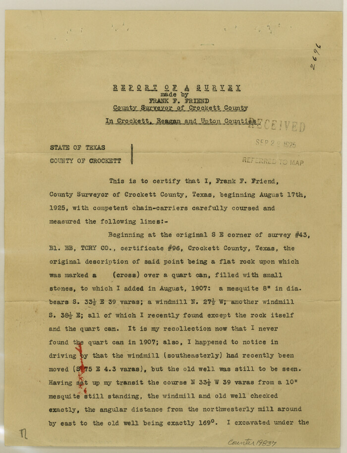
Crockett County Sketch File 60
19837, Crockett County Sketch File 60, General Map Collection
Print $22.00 - Digital $50.00

Crockett County Sketch File 60

1925

Size: 11.4 x 8.7 inches
19837
Crockett County Sketch File 66
19853, Crockett County Sketch File 66, General Map Collection
Print $6.00 - Digital $50.00

Crockett County Sketch File 66

1927

Size: 10.2 x 11.3 inches
19853
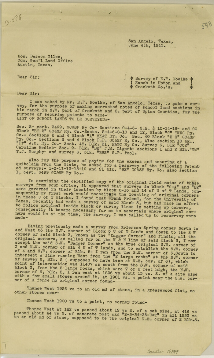
Crockett County Sketch File 83
19899, Crockett County Sketch File 83, General Map Collection
Print $12.00 - Digital $50.00

Crockett County Sketch File 83

1941

Size: 14.2 x 8.5 inches
19899
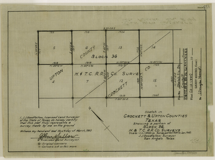
Crockett County Sketch File 94
19950, Crockett County Sketch File 94, General Map Collection
Print $6.00 - Digital $50.00

Crockett County Sketch File 94

1940

Size: 9.2 x 12.3 inches
19950
Crockett County Sketch File HH
19641, Crockett County Sketch File HH, General Map Collection
Print $38.00 - Digital $50.00

Crockett County Sketch File HH

Size: 13.8 x 8.9 inches
19641
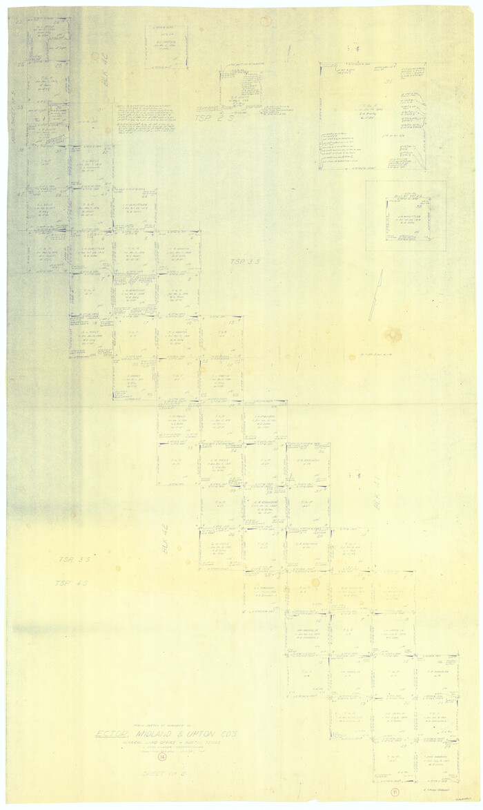
Ector County Sketch File 5
21637, Ector County Sketch File 5, General Map Collection
Print $6.00 - Digital $50.00

Ector County Sketch File 5

1939

Size: 9.1 x 14.5 inches
21637
General Highway Map, Upton County, Texas
79265.tif
Print $20.00

General Highway Map, Upton County, Texas

1940
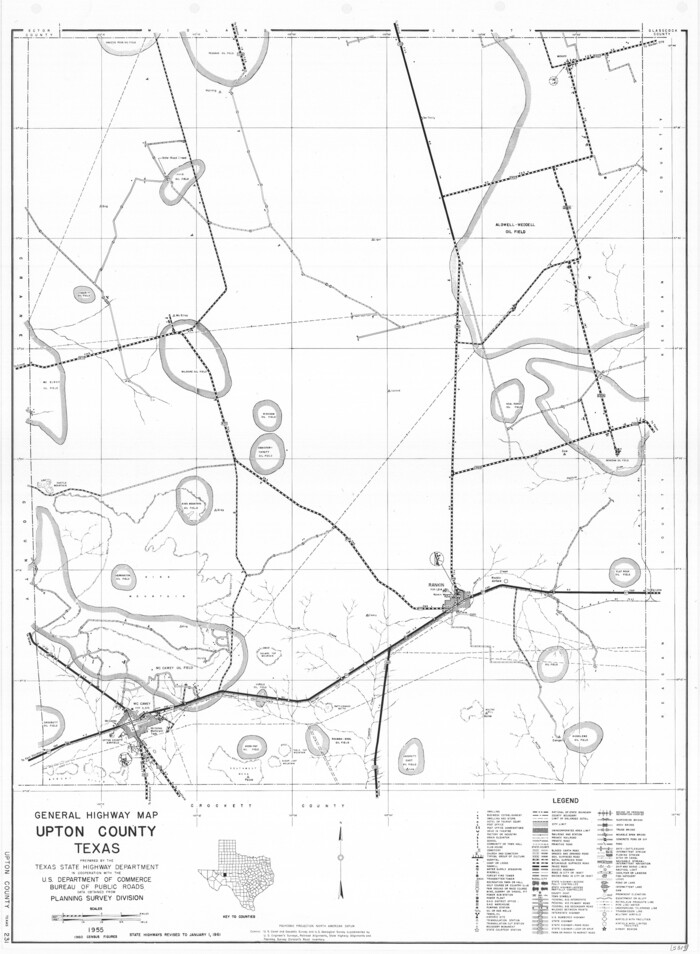
Size: 24.8 x 18.1 inches
79265
General Highway Map, Upton County, Texas
79693.tif
Print $20.00

General Highway Map, Upton County, Texas

1961

Size: 24.7 x 18.1 inches
79693
Glasscock County Rolled Sketch 8
9056.tif
Print $20.00 - Digital $50.00

Glasscock County Rolled Sketch 8

1951

Size: 38.4 x 32.3 inches
9056
Glasscock County Rolled Sketch 8
9057-1.tif
Print $20.00 - Digital $50.00

Glasscock County Rolled Sketch 8

1951

Size: 37.3 x 31.1 inches
9057
Located Line of the Panhandle & Gulf Ry. Through State Lands, Public School and University, in Crockett County, Texas
64287.tif
Print $20.00 - Digital $50.00

Located Line of the Panhandle & Gulf Ry. Through State Lands, Public School and University, in Crockett County, Texas

1904

Size: 12.2 x 27.3 inches
64287
Located Line of the Panhandle & Gulf Ry. through State Lands, Public School and University, in Upton County Texas, Right of Way 200 feet wide
64052.tif
Print $40.00 - Digital $50.00

Located Line of the Panhandle & Gulf Ry. through State Lands, Public School and University, in Upton County Texas, Right of Way 200 feet wide

Size: 13.3 x 102.6 inches
64052
Map of Upton County
16909.tif
Print $20.00 - Digital $50.00

Map of Upton County

1899

Size: 47.3 x 41.1 inches
16909
Andrews County Rolled Sketch 42
77182, Andrews County Rolled Sketch 42, General Map Collection
Print $20.00 - Digital $50.00

Andrews County Rolled Sketch 42

  • Size

    27.3 x 36.0 inches

  • Map/Doc

    77182

Crane County Rolled Sketch 17
5576, Crane County Rolled Sketch 17, General Map Collection
Print $20.00 - Digital $50.00

Crane County Rolled Sketch 17

1926

  • Size

    20.3 x 33.8 inches

  • Map/Doc

    5576

  • Creation Date

    1926

Crane County Rolled Sketch 19
5577, Crane County Rolled Sketch 19, General Map Collection
Print $20.00 - Digital $50.00

Crane County Rolled Sketch 19

1926

  • Size

    26.4 x 28.3 inches

  • Map/Doc

    5577

  • Creation Date

    1926

Crane County Rolled Sketch 23
76426, Crane County Rolled Sketch 23, General Map Collection
Print $20.00 - Digital $50.00

Crane County Rolled Sketch 23

2002

  • Size

    23.9 x 34.3 inches

  • Map/Doc

    76426

  • Creation Date

    2002

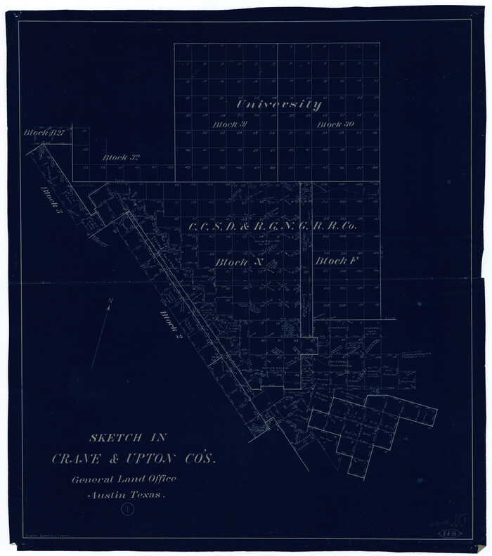
Crane County Rolled Sketch 4
8337, Crane County Rolled Sketch 4, General Map Collection
Print $40.00 - Digital $50.00

Crane County Rolled Sketch 4

  • Size

    34.7 x 51.9 inches

  • Map/Doc

    8337

Crane County Sketch File 15 (C-1)
19579, Crane County Sketch File 15 (C-1), General Map Collection
Print $6.00 - Digital $50.00

Crane County Sketch File 15 (C-1)

1925

  • Size

    8.8 x 15.4 inches

  • Map/Doc

    19579

  • Creation Date

    1925

Crane County Sketch File 30
19610, Crane County Sketch File 30, General Map Collection
Print $40.00 - Digital $50.00

Crane County Sketch File 30

1933

  • Size

    14.0 x 8.4 inches

  • Map/Doc

    19610

  • Creation Date

    1933

Crane County Sketch File 3b
11206, Crane County Sketch File 3b, General Map Collection
Print $20.00 - Digital $50.00

Crane County Sketch File 3b

1881

  • Size

    11.9 x 38.6 inches

  • Map/Doc

    11206

  • Creation Date

    1881

Crane County Sketch File 4
19562, Crane County Sketch File 4, General Map Collection
Print $6.00 - Digital $50.00

Crane County Sketch File 4

  • Size

    13.6 x 10.9 inches

  • Map/Doc

    19562

Crane County Sketch File 9
11208, Crane County Sketch File 9, General Map Collection
Print $20.00 - Digital $50.00

Crane County Sketch File 9

1926

  • Size

    21.7 x 34.1 inches

  • Map/Doc

    11208

  • Creation Date

    1926

Crockett County Rolled Sketch 1
76144, Crockett County Rolled Sketch 1, General Map Collection
Print $40.00 - Digital $50.00

Crockett County Rolled Sketch 1

1888

  • Size

    36.5 x 61.1 inches

  • Map/Doc

    76144

  • Creation Date

    1888

Crockett County Rolled Sketch 49
8713, Crockett County Rolled Sketch 49, General Map Collection
Print $20.00 - Digital $50.00

Crockett County Rolled Sketch 49

1940

  • Size

    32.8 x 42.7 inches

  • Map/Doc

    8713

  • Creation Date

    1940

Crockett County Rolled Sketch 50
8714, Crockett County Rolled Sketch 50, General Map Collection
Print $20.00 - Digital $50.00

Crockett County Rolled Sketch 50

1940

  • Size

    31.5 x 40.7 inches

  • Map/Doc

    8714

  • Creation Date

    1940

Crockett County Rolled Sketch 7
5580, Crockett County Rolled Sketch 7, General Map Collection
Print $20.00 - Digital $50.00

Crockett County Rolled Sketch 7

  • Size

    15.6 x 18.9 inches

  • Map/Doc

    5580

Crockett County Rolled Sketch 98
96577, Crockett County Rolled Sketch 98, General Map Collection
Print $40.00 - Digital $50.00

Crockett County Rolled Sketch 98

2021

  • Size

    36.5 x 48.3 inches

  • Map/Doc

    96577

  • Creation Date

    2021

Crockett County Rolled Sketch CRV
8693, Crockett County Rolled Sketch CRV, General Map Collection
Print $40.00 - Digital $50.00

Crockett County Rolled Sketch CRV

1925

  • Size

    35.8 x 52.3 inches

  • Map/Doc

    8693

  • Creation Date

    1925

Crockett County Sketch File 46
19779, Crockett County Sketch File 46, General Map Collection
Print $20.00 - Digital $50.00

Crockett County Sketch File 46

  • Size

    11.1 x 8.7 inches

  • Map/Doc

    19779

Crockett County Sketch File 60
19837, Crockett County Sketch File 60, General Map Collection
Print $22.00 - Digital $50.00

Crockett County Sketch File 60

1925

  • Size

    11.4 x 8.7 inches

  • Map/Doc

    19837

  • Creation Date

    1925

Crockett County Sketch File 66
19853, Crockett County Sketch File 66, General Map Collection
Print $6.00 - Digital $50.00

Crockett County Sketch File 66

1927

  • Size

    10.2 x 11.3 inches

  • Map/Doc

    19853

  • Creation Date

    1927

Crockett County Sketch File 83
19899, Crockett County Sketch File 83, General Map Collection
Print $12.00 - Digital $50.00

Crockett County Sketch File 83

1941

  • Size

    14.2 x 8.5 inches

  • Map/Doc

    19899

  • Creation Date

    1941

Crockett County Sketch File 94
19950, Crockett County Sketch File 94, General Map Collection
Print $6.00 - Digital $50.00

Crockett County Sketch File 94

1940

  • Size

    9.2 x 12.3 inches

  • Map/Doc

    19950

  • Creation Date

    1940

Crockett County Sketch File HH
19641, Crockett County Sketch File HH, General Map Collection
Print $38.00 - Digital $50.00

Crockett County Sketch File HH

  • Size

    13.8 x 8.9 inches

  • Map/Doc

    19641

Ector County Sketch File 5
21637, Ector County Sketch File 5, General Map Collection
Print $6.00 - Digital $50.00

Ector County Sketch File 5

1939

  • Size

    9.1 x 14.5 inches

  • Map/Doc

    21637

  • Creation Date

    1939

General Highway Map, Upton County, Texas
79265, General Highway Map, Upton County, Texas, Texas State Library and Archives
Print $20.00

General Highway Map, Upton County, Texas

1940

  • Size

    24.8 x 18.1 inches

  • Map/Doc

    79265

  • Creation Date

    1940

General Highway Map, Upton County, Texas
79693, General Highway Map, Upton County, Texas, Texas State Library and Archives
Print $20.00

General Highway Map, Upton County, Texas

1961

  • Size

    24.7 x 18.1 inches

  • Map/Doc

    79693

  • Creation Date

    1961

Glasscock County Rolled Sketch 8
9056, Glasscock County Rolled Sketch 8, General Map Collection
Print $20.00 - Digital $50.00

Glasscock County Rolled Sketch 8

1951

  • Size

    38.4 x 32.3 inches

  • Map/Doc

    9056

  • Creation Date

    1951

Glasscock County Rolled Sketch 8
9057, Glasscock County Rolled Sketch 8, General Map Collection
Print $20.00 - Digital $50.00

Glasscock County Rolled Sketch 8

1951

  • Size

    37.3 x 31.1 inches

  • Map/Doc

    9057

  • Creation Date

    1951

Located Line of the Panhandle & Gulf Ry. Through State Lands, Public School and University, in Crockett County, Texas
64287, Located Line of the Panhandle & Gulf Ry. Through State Lands, Public School and University, in Crockett County, Texas, General Map Collection
Print $20.00 - Digital $50.00

Located Line of the Panhandle & Gulf Ry. Through State Lands, Public School and University, in Crockett County, Texas

1904

  • Size

    12.2 x 27.3 inches

  • Map/Doc

    64287

  • Creation Date

    1904

Located Line of the Panhandle & Gulf Ry. through State Lands, Public School and University, in Upton County Texas, Right of Way 200 feet wide
64052, Located Line of the Panhandle & Gulf Ry. through State Lands, Public School and University, in Upton County Texas, Right of Way 200 feet wide, General Map Collection
Print $40.00 - Digital $50.00

Located Line of the Panhandle & Gulf Ry. through State Lands, Public School and University, in Upton County Texas, Right of Way 200 feet wide

  • Size

    13.3 x 102.6 inches

  • Map/Doc

    64052

Map of Upton County
16909, Map of Upton County, General Map Collection
Print $20.00 - Digital $50.00

Map of Upton County

1899

  • Size

    47.3 x 41.1 inches

  • Map/Doc

    16909

  • Creation Date

    1899