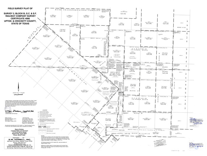
Crockett County Rolled Sketch 98
2021
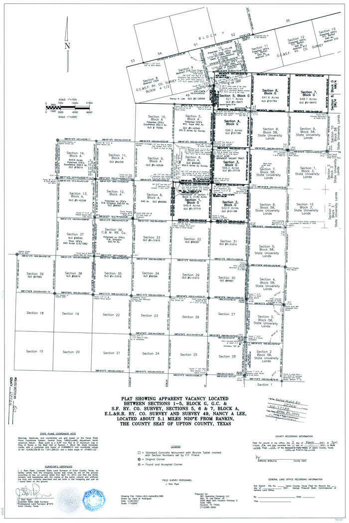
Upton County Rolled Sketch 60
2021

Upton County Working Sketch 60
2012

Crane County Rolled Sketch 23
2002
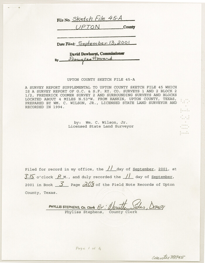
Upton County Sketch File 45A
2001

Upton County Sketch File 45
1994
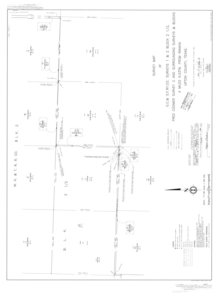
Upton County Rolled Sketch 59
1994

Upton County Rolled Sketch 59
1994

Upton County Sketch File 43
1988

Upton County Rolled Sketch 58
1988
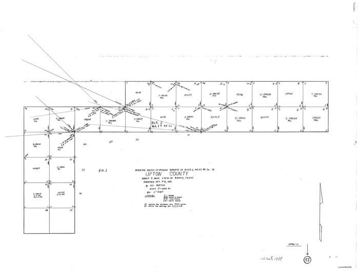
Upton County Working Sketch 57
1988
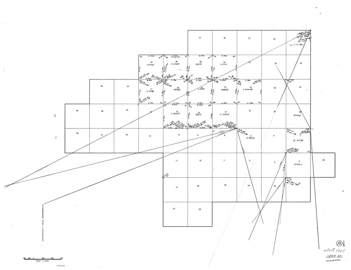
Upton County Working Sketch 58
1988

Upton County Working Sketch 59
1987

Upton County Sketch File 42
1986
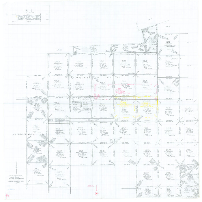
Upton County Working Sketch 56
1985

Upton County Working Sketch 52
1983

Upton County Working Sketch 53
1983

Upton County Working Sketch 54
1983
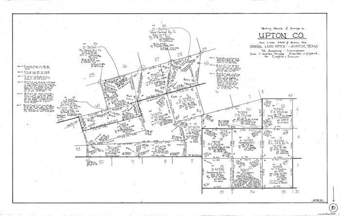
Upton County Working Sketch 51
1980

Upton County Working Sketch 50
1980

Upton County Working Sketch 49B
1979
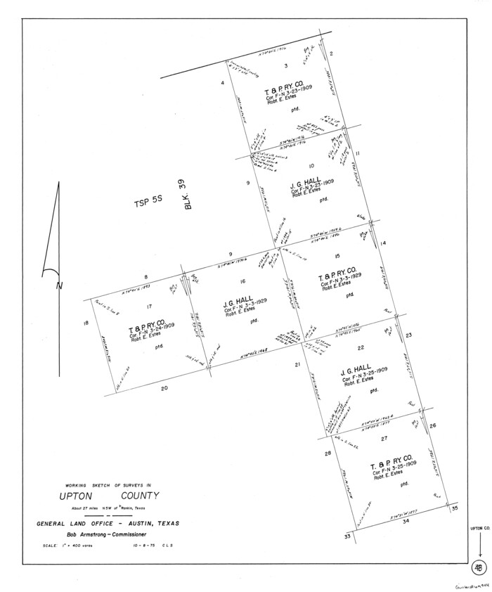
Upton County Working Sketch 48
1975
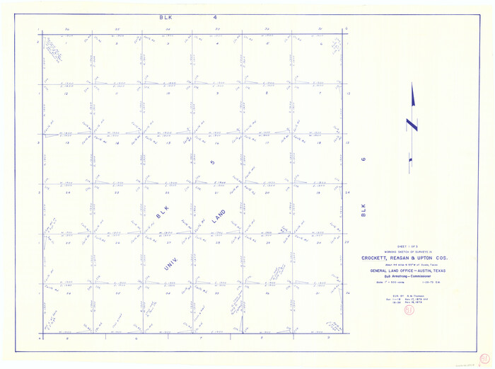
Crockett County Working Sketch 81
1973

Upton County Working Sketch 47
1973

Reagan County Working Sketch 46a
1970

Upton County Working Sketch Graphic Index, Sheet 1 (Sketches 1 to 39)
1969
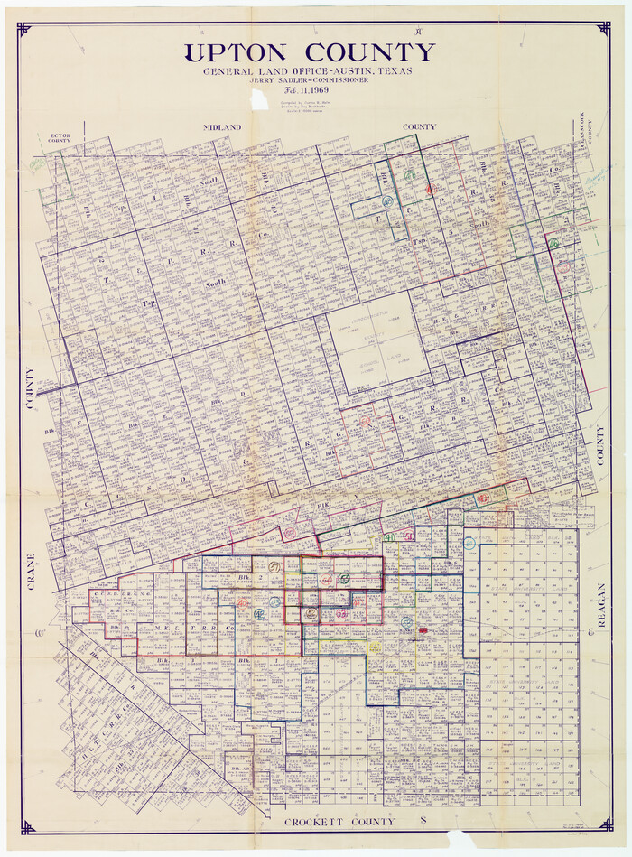
Upton County Working Sketch Graphic Index, Sheet 2 (Sketches 40 to Most Recent)
1969

Crockett County Rolled Sketch 98
2021
-
Size
36.5 x 48.3 inches
-
Map/Doc
96577
-
Creation Date
2021

Upton County Rolled Sketch 60
2021
-
Size
35.9 x 24.0 inches
-
Map/Doc
96569
-
Creation Date
2021

Upton County Working Sketch 60
2012
-
Size
34.2 x 32.1 inches
-
Map/Doc
93387
-
Creation Date
2012

Crane County Rolled Sketch 23
2002
-
Size
23.9 x 34.3 inches
-
Map/Doc
76426
-
Creation Date
2002

Upton County Sketch File 45A
2001
-
Size
11.3 x 8.8 inches
-
Map/Doc
38945
-
Creation Date
2001

Upton County Sketch File 45
1994
-
Size
11.3 x 8.8 inches
-
Map/Doc
38933
-
Creation Date
1994

Upton County Rolled Sketch 59
1994
-
Size
35.8 x 49.2 inches
-
Map/Doc
10637
-
Creation Date
1994

Upton County Rolled Sketch 59
1994
-
Size
36.3 x 49.0 inches
-
Map/Doc
10638
-
Creation Date
1994

Upton County Sketch File 43
1988
-
Size
11.4 x 8.8 inches
-
Map/Doc
38920
-
Creation Date
1988

Upton County Rolled Sketch 58
1988
-
Size
38.6 x 36.2 inches
-
Map/Doc
10061
-
Creation Date
1988

Upton County Working Sketch 57
1988
-
Size
28.9 x 37.4 inches
-
Map/Doc
69554
-
Creation Date
1988

Upton County Working Sketch 58
1988
-
Size
29.1 x 37.8 inches
-
Map/Doc
69555
-
Creation Date
1988

Upton County Working Sketch 59
1987
-
Size
21.5 x 34.3 inches
-
Map/Doc
69556
-
Creation Date
1987

Upton County Sketch File 42
1986
-
Size
10.9 x 17.0 inches
-
Map/Doc
38919
-
Creation Date
1986

Upton County Working Sketch 56
1985
-
Size
43.9 x 43.8 inches
-
Map/Doc
69553
-
Creation Date
1985

Upton County Working Sketch 52
1983
-
Size
20.9 x 20.2 inches
-
Map/Doc
69549
-
Creation Date
1983

Upton County Working Sketch 53
1983
-
Size
26.8 x 31.2 inches
-
Map/Doc
69550
-
Creation Date
1983

Upton County Working Sketch 54
1983
-
Size
23.2 x 37.7 inches
-
Map/Doc
69551
-
Creation Date
1983

Upton County Working Sketch 51
1980
-
Size
19.1 x 30.0 inches
-
Map/Doc
69548
-
Creation Date
1980

Upton County Working Sketch 50
1980
-
Size
19.5 x 21.4 inches
-
Map/Doc
69547
-
Creation Date
1980

Upton County Working Sketch 49B
1979
-
Size
19.0 x 32.0 inches
-
Map/Doc
69546
-
Creation Date
1979

Upton County Working Sketch 48
1975
-
Size
29.3 x 24.3 inches
-
Map/Doc
69544
-
Creation Date
1975

Crockett County Working Sketch 81
1973
-
Size
28.1 x 37.7 inches
-
Map/Doc
68414
-
Creation Date
1973

Upton County Working Sketch 47
1973
-
Size
24.8 x 26.7 inches
-
Map/Doc
69543
-
Creation Date
1973

Reagan County Working Sketch 46a
1970
-
Size
34.5 x 30.4 inches
-
Map/Doc
71888
-
Creation Date
1970
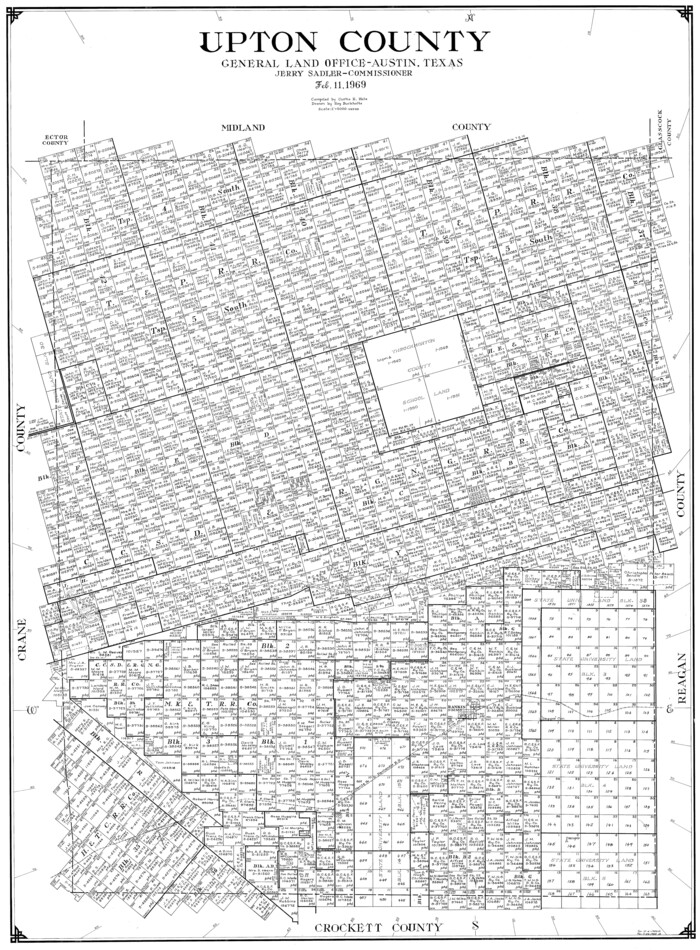
Upton County
1969
-
Size
40.5 x 29.9 inches
-
Map/Doc
77443
-
Creation Date
1969

Upton County
1969
-
Size
50.3 x 38.2 inches
-
Map/Doc
73309
-
Creation Date
1969

Upton County Working Sketch Graphic Index, Sheet 1 (Sketches 1 to 39)
1969
-
Size
49.9 x 37.0 inches
-
Map/Doc
76721
-
Creation Date
1969

Upton County Working Sketch Graphic Index, Sheet 2 (Sketches 40 to Most Recent)
1969
-
Size
49.7 x 36.8 inches
-
Map/Doc
76722
-
Creation Date
1969
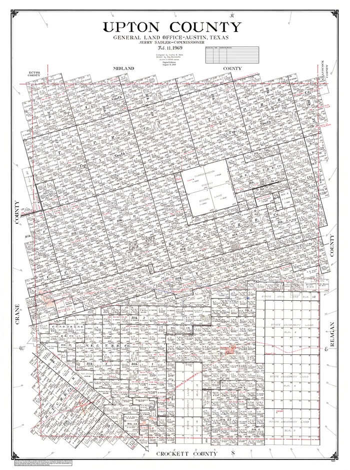
Upton County
1969
-
Size
50.9 x 37.9 inches
-
Map/Doc
95659
-
Creation Date
1969