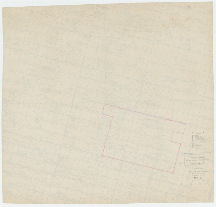
[Upton County Sketch]
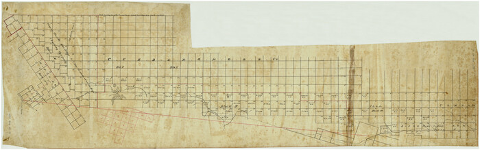
Print $40.00
- Digital $50.00
[Upton County Sketch]
Size: 19.2 x 60.3 inches
5043
[Upton County Sketch]
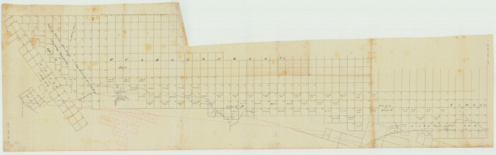
Print $40.00
- Digital $50.00
[Upton County Sketch]
Size: 19.1 x 60.8 inches
76176
[Township 5-S, Blocks 37 & 38]
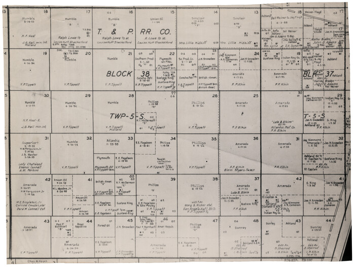
Print $20.00
- Digital $50.00
[Township 5-S, Blocks 37 & 38]
Size: 23.3 x 17.5 inches
92801
[Township 5-S, Blocks 36, 37 & 38]
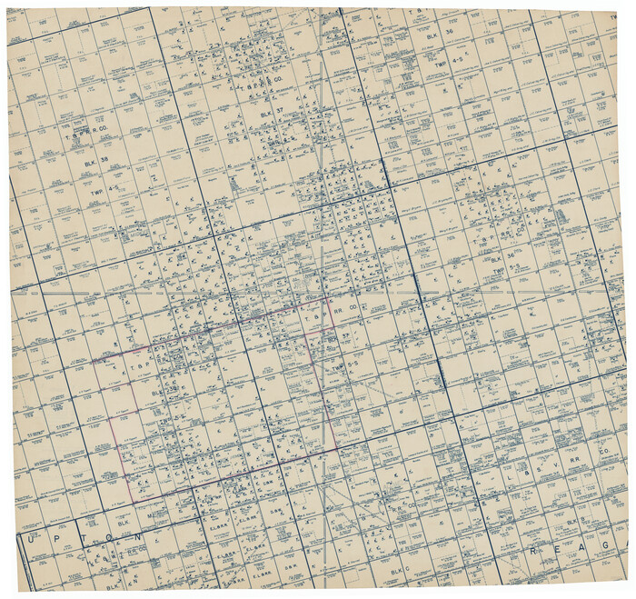
Print $20.00
- Digital $50.00
[Township 5-S, Blocks 36, 37 & 38]
1952
Size: 27.6 x 26.5 inches
92291
[Township 5-S, Blocks 36, 37 & 38]
Print $20.00
- Digital $50.00
[Township 5-S, Blocks 36, 37 & 38]
1952
Size: 27.7 x 26.6 inches
92292
[T. & P. Surveys in Crane, Upton, Coke Counties]
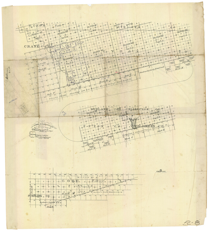
Print $20.00
- Digital $50.00
[T. & P. Surveys in Crane, Upton, Coke Counties]
Size: 19.2 x 21.2 inches
90464
[Longview and Sabine Valley Railway Company Blocks in Reagan & Upton Counties, Texas]
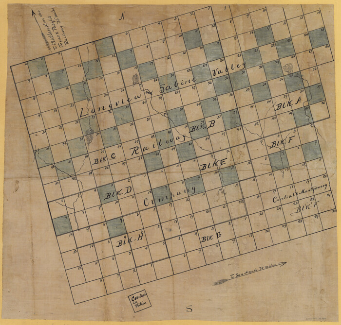
Print $20.00
- Digital $50.00
[Longview and Sabine Valley Railway Company Blocks in Reagan & Upton Counties, Texas]
Size: 17.5 x 18.3 inches
75789
[Blocks 36 and 37, Townships 1S-5S]
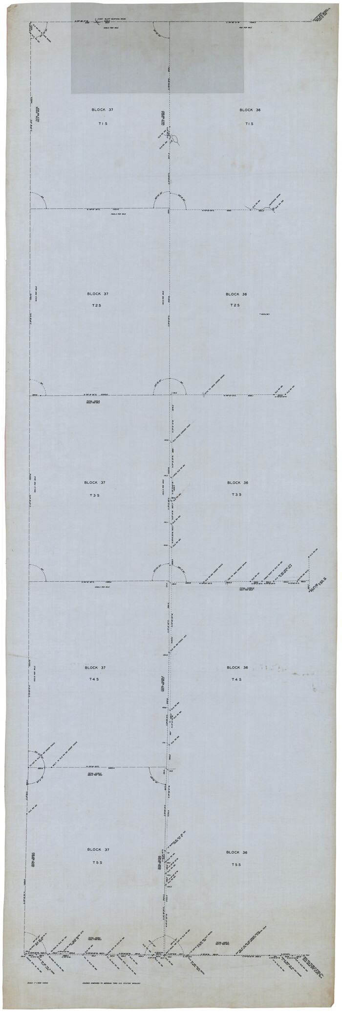
Print $40.00
- Digital $50.00
[Blocks 36 and 37, Townships 1S-5S]
Size: 28.9 x 83.7 inches
93213
Water-Shed of the Colorado River

Print $40.00
- Digital $50.00
Water-Shed of the Colorado River
1925
Size: 37.1 x 79.8 inches
65261
Upton County Working Sketch Graphic Index, Sheet 2 (Sketches 40 to Most Recent)

Print $40.00
- Digital $50.00
Upton County Working Sketch Graphic Index, Sheet 2 (Sketches 40 to Most Recent)
1969
Size: 49.7 x 36.8 inches
76722
Upton County Working Sketch Graphic Index, Sheet 1 (Sketches 1 to 39)

Print $40.00
- Digital $50.00
Upton County Working Sketch Graphic Index, Sheet 1 (Sketches 1 to 39)
1969
Size: 49.9 x 37.0 inches
76721
Upton County Working Sketch 9

Print $20.00
- Digital $50.00
Upton County Working Sketch 9
1926
Size: 26.0 x 15.8 inches
69505
Upton County Working Sketch 8

Print $20.00
- Digital $50.00
Upton County Working Sketch 8
1916
Size: 21.9 x 16.8 inches
69504
Upton County Working Sketch 7

Print $20.00
- Digital $50.00
Upton County Working Sketch 7
1912
Size: 26.3 x 29.9 inches
69503
Upton County Working Sketch 60

Print $20.00
- Digital $50.00
Upton County Working Sketch 60
2012
Size: 34.2 x 32.1 inches
93387
Upton County Working Sketch 6

Print $20.00
- Digital $50.00
Upton County Working Sketch 6
1909
Size: 17.1 x 27.0 inches
69502
Upton County Working Sketch 59

Print $20.00
- Digital $50.00
Upton County Working Sketch 59
1987
Size: 21.5 x 34.3 inches
69556
Upton County Working Sketch 58

Print $20.00
- Digital $50.00
Upton County Working Sketch 58
1988
Size: 29.1 x 37.8 inches
69555
Upton County Working Sketch 57

Print $20.00
- Digital $50.00
Upton County Working Sketch 57
1988
Size: 28.9 x 37.4 inches
69554
Upton County Working Sketch 56

Print $20.00
- Digital $50.00
Upton County Working Sketch 56
1985
Size: 43.9 x 43.8 inches
69553
Upton County Working Sketch 55

Print $20.00
- Digital $50.00
Upton County Working Sketch 55
Size: 25.7 x 36.7 inches
69552
Upton County Working Sketch 54

Print $20.00
- Digital $50.00
Upton County Working Sketch 54
1983
Size: 23.2 x 37.7 inches
69551
Upton County Working Sketch 53

Print $20.00
- Digital $50.00
Upton County Working Sketch 53
1983
Size: 26.8 x 31.2 inches
69550
Upton County Working Sketch 52

Print $20.00
- Digital $50.00
Upton County Working Sketch 52
1983
Size: 20.9 x 20.2 inches
69549
Upton County Working Sketch 51

Print $20.00
- Digital $50.00
Upton County Working Sketch 51
1980
Size: 19.1 x 30.0 inches
69548
Upton County Working Sketch 50

Print $20.00
- Digital $50.00
Upton County Working Sketch 50
1980
Size: 19.5 x 21.4 inches
69547
Upton County Working Sketch 5

Print $20.00
- Digital $50.00
Upton County Working Sketch 5
1909
Size: 15.9 x 27.1 inches
69501
Upton County Working Sketch 49B

Print $20.00
- Digital $50.00
Upton County Working Sketch 49B
1979
Size: 19.0 x 32.0 inches
69546
Upton County Working Sketch 48

Print $20.00
- Digital $50.00
Upton County Working Sketch 48
1975
Size: 29.3 x 24.3 inches
69544
Upton County Working Sketch 47

Print $20.00
- Digital $50.00
Upton County Working Sketch 47
1973
Size: 24.8 x 26.7 inches
69543
[Upton County Sketch]
Print $40.00
- Digital $50.00
[Upton County Sketch]
-
Size
19.2 x 60.3 inches
-
Map/Doc
5043
[Upton County Sketch]
Print $40.00
- Digital $50.00
[Upton County Sketch]
-
Size
19.1 x 60.8 inches
-
Map/Doc
76176
[Township 5-S, Blocks 37 & 38]
Print $20.00
- Digital $50.00
[Township 5-S, Blocks 37 & 38]
-
Size
23.3 x 17.5 inches
-
Map/Doc
92801
[Township 5-S, Blocks 36, 37 & 38]
Print $20.00
- Digital $50.00
[Township 5-S, Blocks 36, 37 & 38]
1952
-
Size
27.6 x 26.5 inches
-
Map/Doc
92291
-
Creation Date
1952
[Township 5-S, Blocks 36, 37 & 38]
Print $20.00
- Digital $50.00
[Township 5-S, Blocks 36, 37 & 38]
1952
-
Size
27.7 x 26.6 inches
-
Map/Doc
92292
-
Creation Date
1952
[T. & P. Surveys in Crane, Upton, Coke Counties]
Print $20.00
- Digital $50.00
[T. & P. Surveys in Crane, Upton, Coke Counties]
-
Size
19.2 x 21.2 inches
-
Map/Doc
90464
[Longview and Sabine Valley Railway Company Blocks in Reagan & Upton Counties, Texas]
Print $20.00
- Digital $50.00
[Longview and Sabine Valley Railway Company Blocks in Reagan & Upton Counties, Texas]
-
Size
17.5 x 18.3 inches
-
Map/Doc
75789
[Blocks 36 and 37, Townships 1S-5S]
Print $40.00
- Digital $50.00
[Blocks 36 and 37, Townships 1S-5S]
-
Size
28.9 x 83.7 inches
-
Map/Doc
93213
Water-Shed of the Colorado River
Print $40.00
- Digital $50.00
Water-Shed of the Colorado River
1925
-
Size
37.1 x 79.8 inches
-
Map/Doc
65261
-
Creation Date
1925
Upton County Working Sketch Graphic Index, Sheet 2 (Sketches 40 to Most Recent)
Print $40.00
- Digital $50.00
Upton County Working Sketch Graphic Index, Sheet 2 (Sketches 40 to Most Recent)
1969
-
Size
49.7 x 36.8 inches
-
Map/Doc
76722
-
Creation Date
1969
Upton County Working Sketch Graphic Index, Sheet 1 (Sketches 1 to 39)
Print $40.00
- Digital $50.00
Upton County Working Sketch Graphic Index, Sheet 1 (Sketches 1 to 39)
1969
-
Size
49.9 x 37.0 inches
-
Map/Doc
76721
-
Creation Date
1969
Upton County Working Sketch 9
Print $20.00
- Digital $50.00
Upton County Working Sketch 9
1926
-
Size
26.0 x 15.8 inches
-
Map/Doc
69505
-
Creation Date
1926
Upton County Working Sketch 8
Print $20.00
- Digital $50.00
Upton County Working Sketch 8
1916
-
Size
21.9 x 16.8 inches
-
Map/Doc
69504
-
Creation Date
1916
Upton County Working Sketch 7
Print $20.00
- Digital $50.00
Upton County Working Sketch 7
1912
-
Size
26.3 x 29.9 inches
-
Map/Doc
69503
-
Creation Date
1912
Upton County Working Sketch 60
Print $20.00
- Digital $50.00
Upton County Working Sketch 60
2012
-
Size
34.2 x 32.1 inches
-
Map/Doc
93387
-
Creation Date
2012
Upton County Working Sketch 6
Print $20.00
- Digital $50.00
Upton County Working Sketch 6
1909
-
Size
17.1 x 27.0 inches
-
Map/Doc
69502
-
Creation Date
1909
Upton County Working Sketch 59
Print $20.00
- Digital $50.00
Upton County Working Sketch 59
1987
-
Size
21.5 x 34.3 inches
-
Map/Doc
69556
-
Creation Date
1987
Upton County Working Sketch 58
Print $20.00
- Digital $50.00
Upton County Working Sketch 58
1988
-
Size
29.1 x 37.8 inches
-
Map/Doc
69555
-
Creation Date
1988
Upton County Working Sketch 57
Print $20.00
- Digital $50.00
Upton County Working Sketch 57
1988
-
Size
28.9 x 37.4 inches
-
Map/Doc
69554
-
Creation Date
1988
Upton County Working Sketch 56
Print $20.00
- Digital $50.00
Upton County Working Sketch 56
1985
-
Size
43.9 x 43.8 inches
-
Map/Doc
69553
-
Creation Date
1985
Upton County Working Sketch 55
Print $20.00
- Digital $50.00
Upton County Working Sketch 55
-
Size
25.7 x 36.7 inches
-
Map/Doc
69552
Upton County Working Sketch 54
Print $20.00
- Digital $50.00
Upton County Working Sketch 54
1983
-
Size
23.2 x 37.7 inches
-
Map/Doc
69551
-
Creation Date
1983
Upton County Working Sketch 53
Print $20.00
- Digital $50.00
Upton County Working Sketch 53
1983
-
Size
26.8 x 31.2 inches
-
Map/Doc
69550
-
Creation Date
1983
Upton County Working Sketch 52
Print $20.00
- Digital $50.00
Upton County Working Sketch 52
1983
-
Size
20.9 x 20.2 inches
-
Map/Doc
69549
-
Creation Date
1983
Upton County Working Sketch 51
Print $20.00
- Digital $50.00
Upton County Working Sketch 51
1980
-
Size
19.1 x 30.0 inches
-
Map/Doc
69548
-
Creation Date
1980
Upton County Working Sketch 50
Print $20.00
- Digital $50.00
Upton County Working Sketch 50
1980
-
Size
19.5 x 21.4 inches
-
Map/Doc
69547
-
Creation Date
1980
Upton County Working Sketch 5
Print $20.00
- Digital $50.00
Upton County Working Sketch 5
1909
-
Size
15.9 x 27.1 inches
-
Map/Doc
69501
-
Creation Date
1909
Upton County Working Sketch 49B
Print $20.00
- Digital $50.00
Upton County Working Sketch 49B
1979
-
Size
19.0 x 32.0 inches
-
Map/Doc
69546
-
Creation Date
1979
Upton County Working Sketch 48
Print $20.00
- Digital $50.00
Upton County Working Sketch 48
1975
-
Size
29.3 x 24.3 inches
-
Map/Doc
69544
-
Creation Date
1975
Upton County Working Sketch 47
Print $20.00
- Digital $50.00
Upton County Working Sketch 47
1973
-
Size
24.8 x 26.7 inches
-
Map/Doc
69543
-
Creation Date
1973