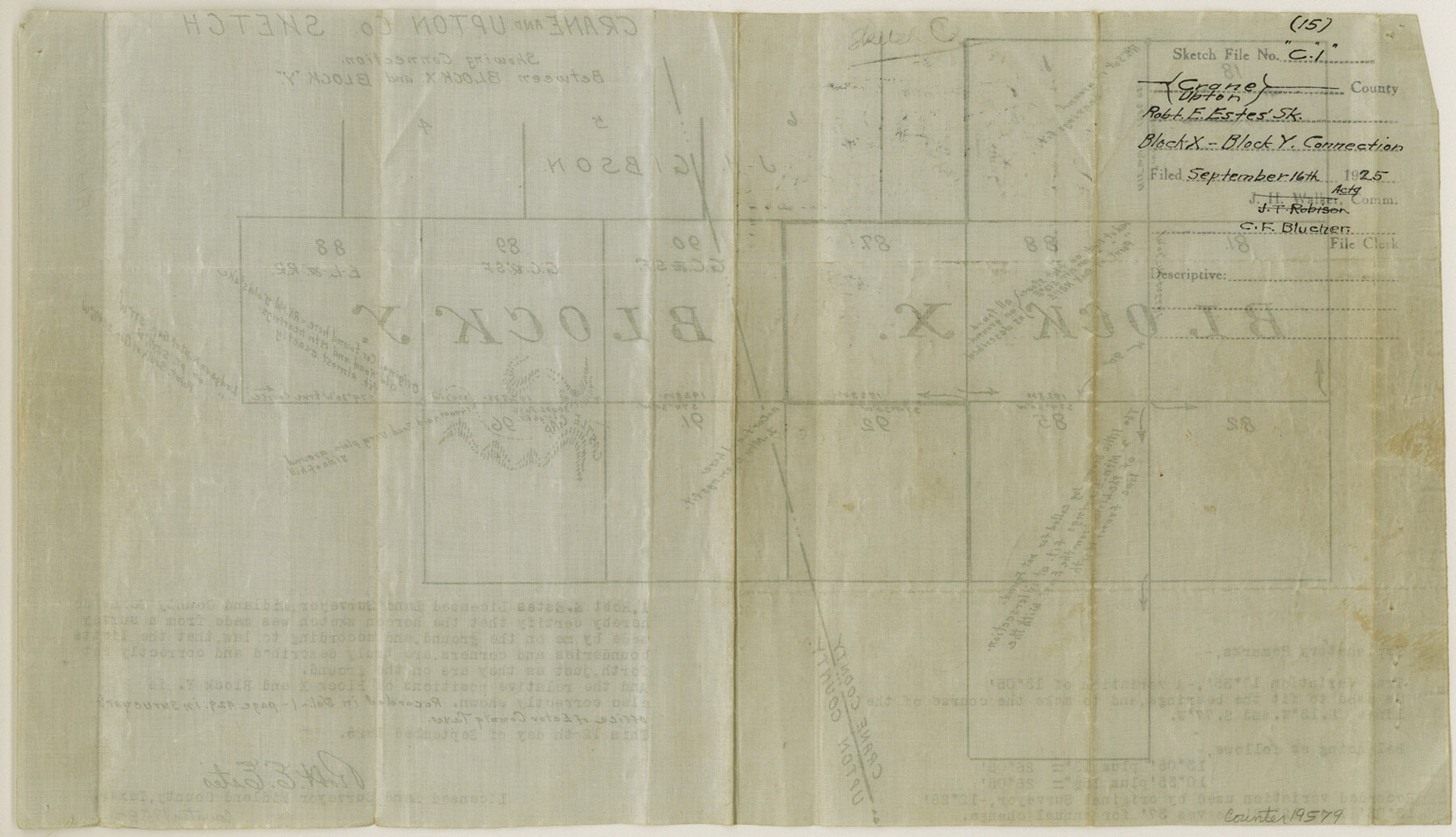
Crane County Sketch File 15 (C-1)
Crane and Upton Co. Sketch showing connection between Block X and Block Y
-
Map/Doc
19579
-
Collection
General Map Collection
-
Object Dates
1925/9/12 (Creation Date)
1925/9/16 (File Date)
-
People and Organizations
Robert E. Estes (Surveyor/Engineer)
-
Counties
Crane Upton
-
Subjects
Surveying Sketch File
-
Height x Width
8.8 x 15.4 inches
22.4 x 39.1 cm
-
Medium
paper, manuscript
-
Features
Castle Gap
Part of: General Map Collection
Flight Mission No. BRE-2P, Frame 72, Nueces County

Print $20.00
- Digital $50.00
Flight Mission No. BRE-2P, Frame 72, Nueces County
1956
Size 18.5 x 22.2 inches
Map/Doc 86767
Duval County Boundary File 1a

Print $18.00
- Digital $50.00
Duval County Boundary File 1a
Size 12.8 x 8.4 inches
Map/Doc 52670
Flight Mission No. BQR-9K, Frame 47, Brazoria County

Print $20.00
- Digital $50.00
Flight Mission No. BQR-9K, Frame 47, Brazoria County
1952
Size 18.7 x 22.4 inches
Map/Doc 84051
Flight Mission No. BRE-2P, Frame 77, Nueces County

Print $20.00
- Digital $50.00
Flight Mission No. BRE-2P, Frame 77, Nueces County
1956
Size 18.4 x 22.2 inches
Map/Doc 86772
DeWitt County Sketch File 1

Print $11.00
- Digital $50.00
DeWitt County Sketch File 1
1851
Size 8.4 x 8.2 inches
Map/Doc 20794
Cherokee County Working Sketch 25

Print $20.00
- Digital $50.00
Cherokee County Working Sketch 25
1972
Size 25.1 x 45.5 inches
Map/Doc 67980
Flight Mission No. DQO-3K, Frame 14, Galveston County

Print $20.00
- Digital $50.00
Flight Mission No. DQO-3K, Frame 14, Galveston County
1952
Size 18.8 x 22.4 inches
Map/Doc 85055
Denton County Sketch File 13

Print $12.00
- Digital $50.00
Denton County Sketch File 13
1856
Size 12.3 x 7.9 inches
Map/Doc 20713
Montague County Sketch File 15

Print $6.00
- Digital $50.00
Montague County Sketch File 15
1880
Size 11.0 x 15.1 inches
Map/Doc 31742
Flight Mission No. CRC-3R, Frame 36, Chambers County

Print $20.00
- Digital $50.00
Flight Mission No. CRC-3R, Frame 36, Chambers County
1956
Size 18.7 x 22.3 inches
Map/Doc 84809
Kimble County Working Sketch 52

Print $20.00
- Digital $50.00
Kimble County Working Sketch 52
1953
Size 31.1 x 16.7 inches
Map/Doc 70120
Haskell County Rolled Sketch 15A

Print $3.00
- Digital $50.00
Haskell County Rolled Sketch 15A
1991
Size 11.3 x 17.1 inches
Map/Doc 6174
You may also like
The Texas Co-Ordinate System, Title 86 Article 5300A.

Print $20.00
- Digital $50.00
The Texas Co-Ordinate System, Title 86 Article 5300A.
Size 30.8 x 28.4 inches
Map/Doc 92824
A Map of the British Empire in North America

Print $20.00
- Digital $50.00
A Map of the British Empire in North America
1774
Size 22.1 x 15.1 inches
Map/Doc 93733
Cecil Stein Drilling Block

Print $3.00
- Digital $50.00
Cecil Stein Drilling Block
1933
Size 11.2 x 16.2 inches
Map/Doc 92281
Plat in Pecos County, Texas

Print $20.00
- Digital $50.00
Plat in Pecos County, Texas
1928
Size 42.6 x 35.3 inches
Map/Doc 89831
Panola County Working Sketch 5

Print $20.00
- Digital $50.00
Panola County Working Sketch 5
1940
Map/Doc 71414
Val Verde County Sketch File M

Print $18.00
- Digital $50.00
Val Verde County Sketch File M
1920
Size 14.5 x 9.1 inches
Map/Doc 39275
Caldwell County Sketch File 6

Print $8.00
- Digital $50.00
Caldwell County Sketch File 6
1922
Size 14.1 x 8.1 inches
Map/Doc 35847
The Republic County of Rusk. December 29, 1845

Print $20.00
The Republic County of Rusk. December 29, 1845
2020
Size 19.1 x 21.7 inches
Map/Doc 96268
Flight Mission No. BQR-9K, Frame 6, Brazoria County

Print $20.00
- Digital $50.00
Flight Mission No. BQR-9K, Frame 6, Brazoria County
1952
Size 18.7 x 22.4 inches
Map/Doc 84035
Bandera County Working Sketch 39

Print $20.00
- Digital $50.00
Bandera County Working Sketch 39
1975
Size 22.1 x 25.3 inches
Map/Doc 67635
Jeff Davis County Sketch File 21

Print $4.00
- Digital $50.00
Jeff Davis County Sketch File 21
1927
Size 14.1 x 8.8 inches
Map/Doc 27988
Culberson County Working Sketch 11

Print $20.00
- Digital $50.00
Culberson County Working Sketch 11
1920
Size 29.6 x 22.9 inches
Map/Doc 68463