69 results

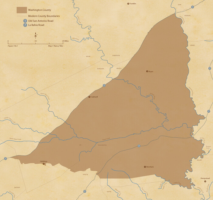
The Republic County of Washington. Boundaries Defined, December 14, 1837
96302.tif
Print $20.00 - Digital $50.00

The Republic County of Washington. Boundaries Defined, December 14, 1837

2020

Size: 10.2 x 10.8 inches
96302
The Republic County of Washington. May 24, 1838
96303.tif
Print $20.00 - Digital $50.00

The Republic County of Washington. May 24, 1838

2020
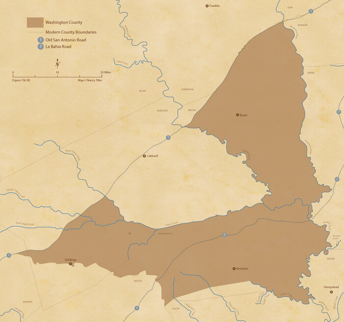
Size: 10.2 x 10.8 inches
96303
The Republic County of Washington. February 4, 1840
96304.tif
Print $20.00 - Digital $50.00

The Republic County of Washington. February 4, 1840

2020
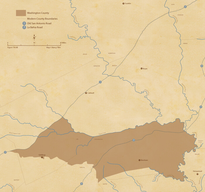
Size: 10.2 x 10.8 inches
96304
The Republic County of Washington. January 30, 1841
96305.tif
Print $20.00 - Digital $50.00

The Republic County of Washington. January 30, 1841

2020

Size: 10.2 x 10.8 inches
96305
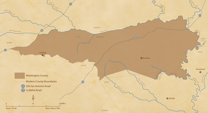
The Republic County of Washington. January 15, 1842
96306.tif
Print $20.00 - Digital $50.00

The Republic County of Washington. January 15, 1842

2020
Size: 5.9 x 10.8 inches
96306
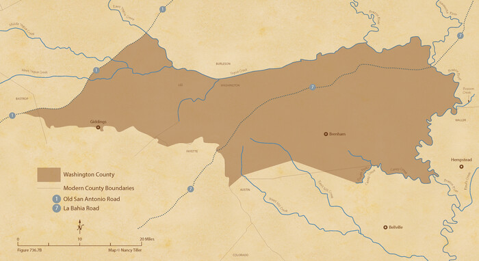
The Republic County of Washington. January 29, 1842
96307.tif
Print $20.00 - Digital $50.00

The Republic County of Washington. January 29, 1842

2020
Size: 5.9 x 10.8 inches
96307
The Republic County of Washington. Spring 1842
96308.tif
Print $20.00 - Digital $50.00

The Republic County of Washington. Spring 1842

2020

Size: 5.9 x 10.8 inches
96308
The Republic County of Washington. February 1, 1844
96309.tif
Print $20.00 - Digital $50.00

The Republic County of Washington. February 1, 1844

2020

Size: 5.9 x 10.8 inches
96309
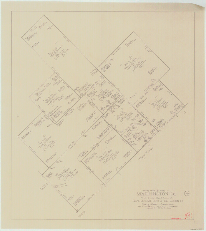
The Republic County of Washington. December 29, 1845
96310.tif
Print $20.00 - Digital $50.00

The Republic County of Washington. December 29, 1845

2020
Size: 5.9 x 10.8 inches
96310
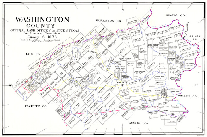
Washington County
73317.tif
Print $20.00 - Digital $50.00

Washington County

1976

Size: 31.7 x 46.5 inches
73317
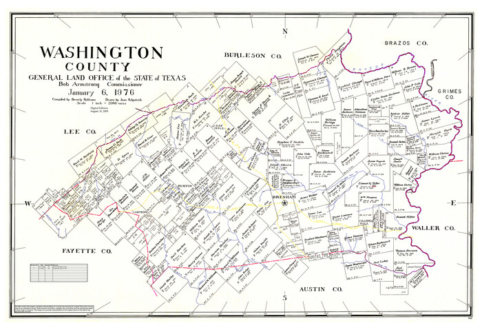
Washington County Working Sketch Graphic Index
76733.tif
Print $20.00 - Digital $50.00

Washington County Working Sketch Graphic Index

1976
Size: 31.3 x 46.8 inches
76733
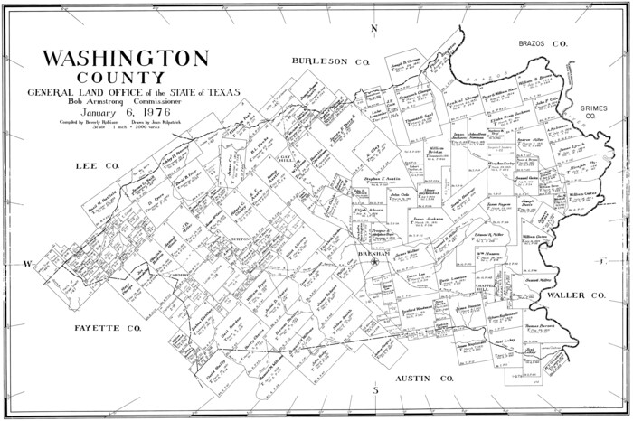
Washington County
77451.tif
Print $20.00 - Digital $50.00

Washington County

1976

Size: 30.4 x 45.6 inches
77451
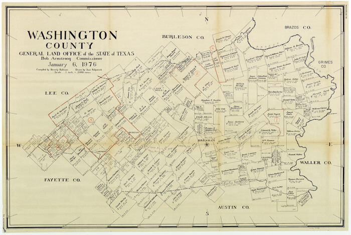
Washington County
95667.tif
Print $20.00 - Digital $50.00

Washington County

1976

Size: 31.7 x 47.3 inches
95667
General Highway Map, Washington County, Texas
79703.tif
Print $20.00

General Highway Map, Washington County, Texas

1961

Size: 18.1 x 24.7 inches
79703
General Highway Map, Washington County, Texas
79272.tif
Print $20.00

General Highway Map, Washington County, Texas

1940
Size: 18.4 x 25.0 inches
79272
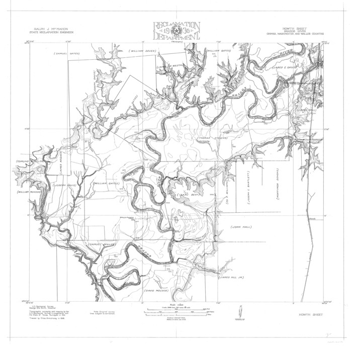
Brazos River, Howth Sheet
65276.tif
Print $6.00 - Digital $50.00

Brazos River, Howth Sheet

1936

Size: 30.5 x 30.9 inches
65276
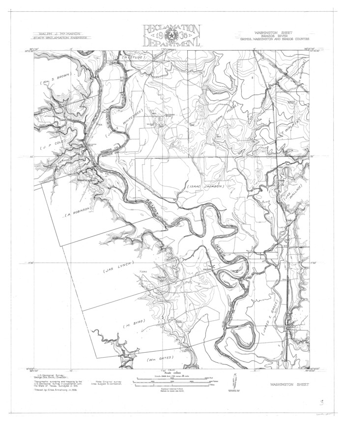
Brazos River, Washington Sheet
65277.tif
Print $6.00 - Digital $50.00

Brazos River, Washington Sheet

1936

Size: 30.4 x 24.7 inches
65277
Brazos River, Millican Sheet
65278.tif
Print $6.00 - Digital $50.00

Brazos River, Millican Sheet

1936

Size: 30.1 x 31.6 inches
65278
Brazos River, Sandpit Special Sheet
65279.tif
Print $6.00 - Digital $50.00

Brazos River, Sandpit Special Sheet

1936

Size: 33.8 x 24.7 inches
65279
Map of Independence Area, Washington County, Texas
91989-1.tif
Print $20.00 - Digital $50.00

Map of Independence Area, Washington County, Texas

1935
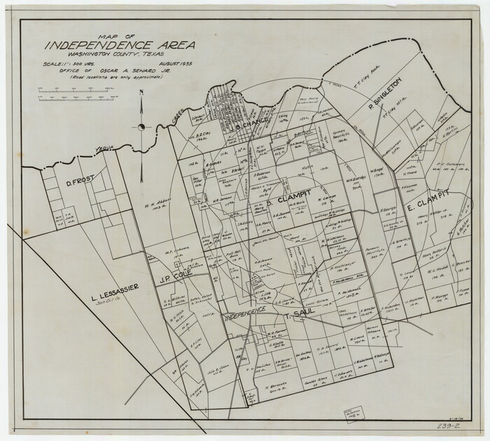
Size: 24.0 x 19.1 inches
91989
Map of Independence Area, Washington County, Texas
91990-1.tif
Print $20.00 - Digital $50.00

Map of Independence Area, Washington County, Texas

1935
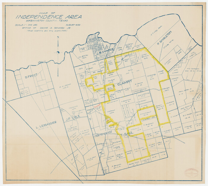
Size: 28.9 x 26.0 inches
91990
Map of Independence Area, Washington County, Texas
92093-1.tif
Print $20.00 - Digital $50.00

Map of Independence Area, Washington County, Texas

1935
Size: 18.6 x 16.5 inches
92093
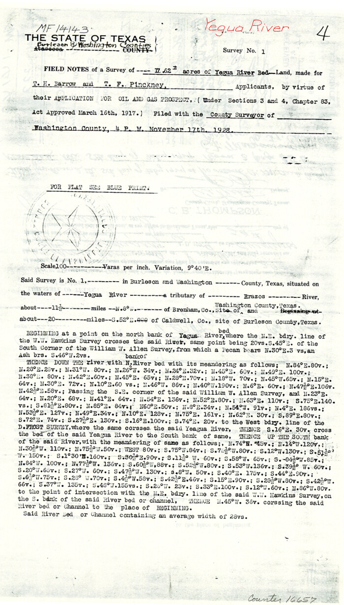
Burleson County Sketch File 9
16657, Burleson County Sketch File 9, General Map Collection
Print $12.00 - Digital $50.00

Burleson County Sketch File 9

1929

Size: 14.2 x 8.1 inches
16657
Brazos River, Sandpit Extension Sheet
69663.tif
Print $20.00 - Digital $50.00

Brazos River, Sandpit Extension Sheet

1926

Size: 31.3 x 36.5 inches
69663
Brazos River, Widths of Floodways/Brazos and Navasota Rivers
65292.tif
Print $20.00 - Digital $50.00

Brazos River, Widths of Floodways/Brazos and Navasota Rivers

1921

Size: 38.1 x 24.5 inches
65292
Washington County
1900.tif
Print $40.00 - Digital $50.00

Washington County

1920

Size: 33.5 x 48.8 inches
1900
Washington County
63112.tif
Print $40.00 - Digital $50.00

Washington County

1920

Size: 33.4 x 48.6 inches
63112
Washington County
16918-1.tif
Print $20.00 - Digital $50.00

Washington County

1920

Size: 32.5 x 47.2 inches
16918
Washington County Sketch File 6
12602, Washington County Sketch File 6, General Map Collection
Print $20.00 - Digital $50.00

Washington County Sketch File 6

1901

Size: 24.7 x 26.0 inches
12602
Austin County Sketch File 10
10875, Austin County Sketch File 10, General Map Collection
Print $40.00 - Digital $50.00

Austin County Sketch File 10

1895

Size: 25.5 x 21.0 inches
10875
The Republic County of Washington. Boundaries Defined, December 14, 1837
96302, The Republic County of Washington. Boundaries Defined, December 14, 1837, Nancy and Jim Tiller Digital Collection
Print $20.00 - Digital $50.00

The Republic County of Washington. Boundaries Defined, December 14, 1837

2020

  • Size

    10.2 x 10.8 inches

  • Map/Doc

    96302

  • Creation Date

    2020

The Republic County of Washington. May 24, 1838
96303, The Republic County of Washington. May 24, 1838, Nancy and Jim Tiller Digital Collection
Print $20.00 - Digital $50.00

The Republic County of Washington. May 24, 1838

2020

  • Size

    10.2 x 10.8 inches

  • Map/Doc

    96303

  • Creation Date

    2020

The Republic County of Washington. February 4, 1840
96304, The Republic County of Washington. February 4, 1840, Nancy and Jim Tiller Digital Collection
Print $20.00 - Digital $50.00

The Republic County of Washington. February 4, 1840

2020

  • Size

    10.2 x 10.8 inches

  • Map/Doc

    96304

  • Creation Date

    2020

The Republic County of Washington. January 30, 1841
96305, The Republic County of Washington. January 30, 1841, Nancy and Jim Tiller Digital Collection
Print $20.00 - Digital $50.00

The Republic County of Washington. January 30, 1841

2020

  • Size

    10.2 x 10.8 inches

  • Map/Doc

    96305

  • Creation Date

    2020

The Republic County of Washington. January 15, 1842
96306, The Republic County of Washington. January 15, 1842, Nancy and Jim Tiller Digital Collection
Print $20.00 - Digital $50.00

The Republic County of Washington. January 15, 1842

2020

  • Size

    5.9 x 10.8 inches

  • Map/Doc

    96306

  • Creation Date

    2020

The Republic County of Washington. January 29, 1842
96307, The Republic County of Washington. January 29, 1842, Nancy and Jim Tiller Digital Collection
Print $20.00 - Digital $50.00

The Republic County of Washington. January 29, 1842

2020

  • Size

    5.9 x 10.8 inches

  • Map/Doc

    96307

  • Creation Date

    2020

The Republic County of Washington. Spring 1842
96308, The Republic County of Washington. Spring 1842, Nancy and Jim Tiller Digital Collection
Print $20.00 - Digital $50.00

The Republic County of Washington. Spring 1842

2020

  • Size

    5.9 x 10.8 inches

  • Map/Doc

    96308

  • Creation Date

    2020

The Republic County of Washington. February 1, 1844
96309, The Republic County of Washington. February 1, 1844, Nancy and Jim Tiller Digital Collection
Print $20.00 - Digital $50.00

The Republic County of Washington. February 1, 1844

2020

  • Size

    5.9 x 10.8 inches

  • Map/Doc

    96309

  • Creation Date

    2020

The Republic County of Washington. December 29, 1845
96310, The Republic County of Washington. December 29, 1845, Nancy and Jim Tiller Digital Collection
Print $20.00 - Digital $50.00

The Republic County of Washington. December 29, 1845

2020

  • Size

    5.9 x 10.8 inches

  • Map/Doc

    96310

  • Creation Date

    2020

Washington County
73317, Washington County, General Map Collection
Print $20.00 - Digital $50.00

Washington County

1976

  • Size

    31.7 x 46.5 inches

  • Map/Doc

    73317

  • Creation Date

    1976

Washington County Working Sketch Graphic Index
76733, Washington County Working Sketch Graphic Index, General Map Collection
Print $20.00 - Digital $50.00

Washington County Working Sketch Graphic Index

1976

  • Size

    31.3 x 46.8 inches

  • Map/Doc

    76733

  • Creation Date

    1976

Washington County
77451, Washington County, General Map Collection
Print $20.00 - Digital $50.00

Washington County

1976

  • Size

    30.4 x 45.6 inches

  • Map/Doc

    77451

  • Creation Date

    1976

Washington County
95667, Washington County, General Map Collection
Print $20.00 - Digital $50.00

Washington County

1976

  • Size

    31.7 x 47.3 inches

  • Map/Doc

    95667

  • Creation Date

    1976

General Highway Map, Washington County, Texas
79703, General Highway Map, Washington County, Texas, Texas State Library and Archives
Print $20.00

General Highway Map, Washington County, Texas

1961

  • Size

    18.1 x 24.7 inches

  • Map/Doc

    79703

  • Creation Date

    1961

General Highway Map, Washington County, Texas
79272, General Highway Map, Washington County, Texas, Texas State Library and Archives
Print $20.00

General Highway Map, Washington County, Texas

1940

  • Size

    18.4 x 25.0 inches

  • Map/Doc

    79272

  • Creation Date

    1940

Brazos River, Howth Sheet
65276, Brazos River, Howth Sheet, General Map Collection
Print $6.00 - Digital $50.00

Brazos River, Howth Sheet

1936

  • Size

    30.5 x 30.9 inches

  • Map/Doc

    65276

  • Creation Date

    1936

Brazos River, Washington Sheet
65277, Brazos River, Washington Sheet, General Map Collection
Print $6.00 - Digital $50.00

Brazos River, Washington Sheet

1936

  • Size

    30.4 x 24.7 inches

  • Map/Doc

    65277

  • Creation Date

    1936

Brazos River, Millican Sheet
65278, Brazos River, Millican Sheet, General Map Collection
Print $6.00 - Digital $50.00

Brazos River, Millican Sheet

1936

  • Size

    30.1 x 31.6 inches

  • Map/Doc

    65278

  • Creation Date

    1936

Brazos River, Sandpit Special Sheet
65279, Brazos River, Sandpit Special Sheet, General Map Collection
Print $6.00 - Digital $50.00

Brazos River, Sandpit Special Sheet

1936

  • Size

    33.8 x 24.7 inches

  • Map/Doc

    65279

  • Creation Date

    1936

Map of Independence Area, Washington County, Texas
91989, Map of Independence Area, Washington County, Texas, Twichell Survey Records
Print $20.00 - Digital $50.00

Map of Independence Area, Washington County, Texas

1935

  • Size

    24.0 x 19.1 inches

  • Map/Doc

    91989

  • Creation Date

    1935

Map of Independence Area, Washington County, Texas
91990, Map of Independence Area, Washington County, Texas, Twichell Survey Records
Print $20.00 - Digital $50.00

Map of Independence Area, Washington County, Texas

1935

  • Size

    28.9 x 26.0 inches

  • Map/Doc

    91990

  • Creation Date

    1935

Map of Independence Area, Washington County, Texas
92093, Map of Independence Area, Washington County, Texas, Twichell Survey Records
Print $20.00 - Digital $50.00

Map of Independence Area, Washington County, Texas

1935

  • Size

    18.6 x 16.5 inches

  • Map/Doc

    92093

  • Creation Date

    1935

Burleson County Sketch File 9
16657, Burleson County Sketch File 9, General Map Collection
Print $12.00 - Digital $50.00

Burleson County Sketch File 9

1929

  • Size

    14.2 x 8.1 inches

  • Map/Doc

    16657

  • Creation Date

    1929

Brazos River, Sandpit Extension Sheet
69663, Brazos River, Sandpit Extension Sheet, General Map Collection
Print $20.00 - Digital $50.00

Brazos River, Sandpit Extension Sheet

1926

  • Size

    31.3 x 36.5 inches

  • Map/Doc

    69663

  • Creation Date

    1926

Brazos River, Widths of Floodways/Brazos and Navasota Rivers
65292, Brazos River, Widths of Floodways/Brazos and Navasota Rivers, General Map Collection
Print $20.00 - Digital $50.00

Brazos River, Widths of Floodways/Brazos and Navasota Rivers

1921

  • Size

    38.1 x 24.5 inches

  • Map/Doc

    65292

  • Creation Date

    1921

Washington County
1900, Washington County, General Map Collection
Print $40.00 - Digital $50.00

Washington County

1920

  • Size

    33.5 x 48.8 inches

  • Map/Doc

    1900

  • Creation Date

    1920

Washington County
63112, Washington County, General Map Collection
Print $40.00 - Digital $50.00

Washington County

1920

  • Size

    33.4 x 48.6 inches

  • Map/Doc

    63112

  • Creation Date

    1920

Washington County
16918, Washington County, General Map Collection
Print $20.00 - Digital $50.00

Washington County

1920

  • Size

    32.5 x 47.2 inches

  • Map/Doc

    16918

  • Creation Date

    1920

Washington County Sketch File 6
12602, Washington County Sketch File 6, General Map Collection
Print $20.00 - Digital $50.00

Washington County Sketch File 6

1901

  • Size

    24.7 x 26.0 inches

  • Map/Doc

    12602

  • Creation Date

    1901

Austin County Sketch File 10
10875, Austin County Sketch File 10, General Map Collection
Print $40.00 - Digital $50.00

Austin County Sketch File 10

1895

  • Size

    25.5 x 21.0 inches

  • Map/Doc

    10875

  • Creation Date

    1895