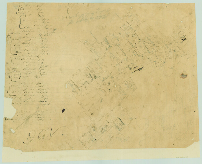
[Surveys in Austin's Colony along the Yegua River and Cedar Creek]
1835
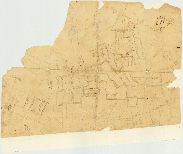
[Surveys in Austin's Colony along New Year's Creek]
1828
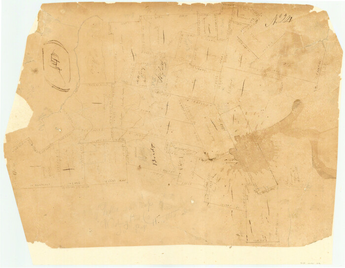
[Surveys in Austin's Colony along New Year's Creek and the Navidad River]
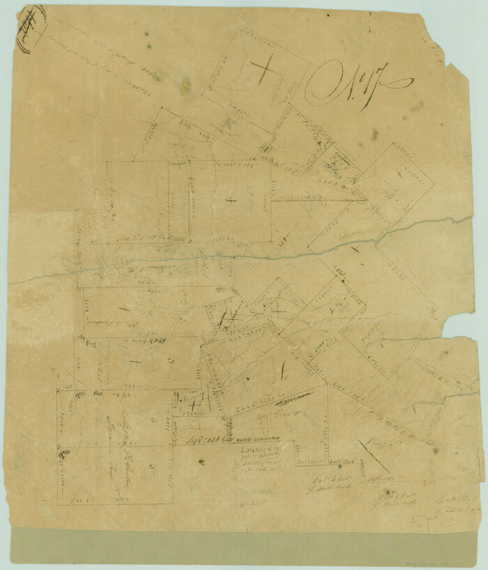
[Surveys in Austin's Colony along New Year's Creek and near the Brazos River]
1821
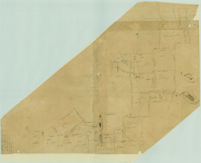
[Surveys in Austin's Colony along Hickory Creek, Hog Creek, and the Yegua River]
1831
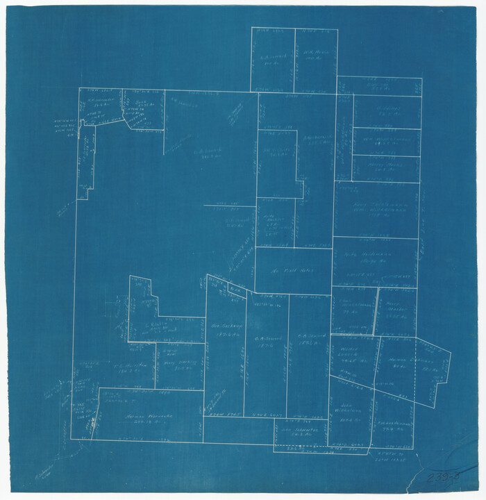
[Sketch around O. A. Seward surveys]
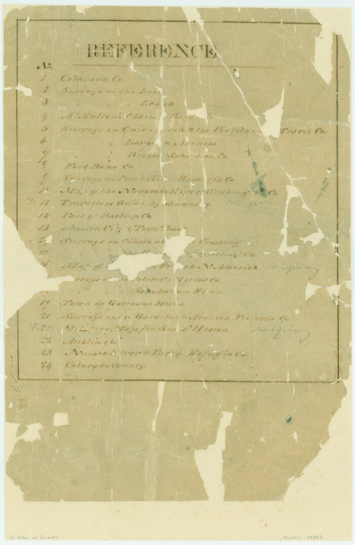
[Atlas C, Table of Contents]
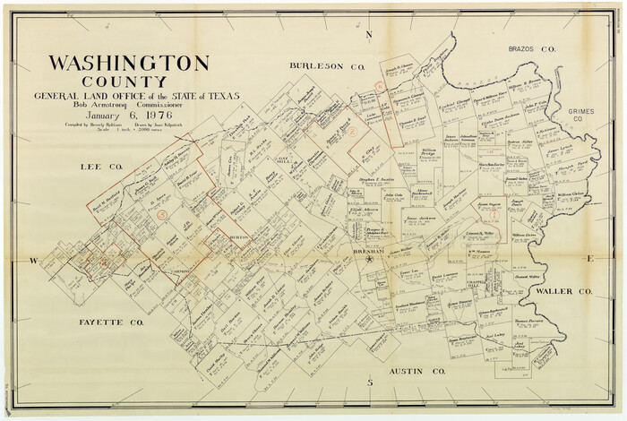
Washington County Working Sketch Graphic Index
1976
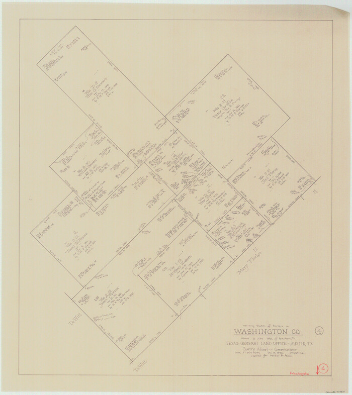
Washington County Working Sketch 4
1992

Washington County Working Sketch 3
1992

Washington County Working Sketch 2
1981

Washington County Working Sketch 1
1957
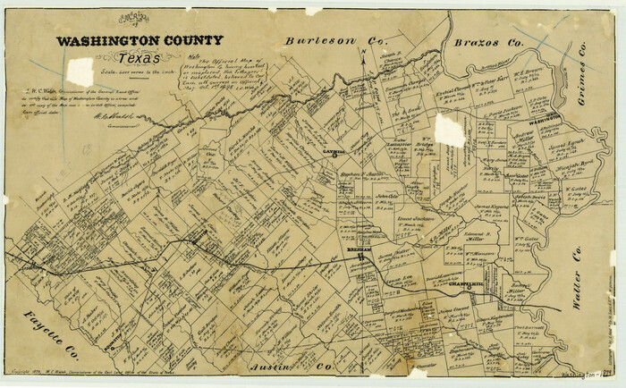
Washington County Texas
1879

Washington County Sketch File 7
1873
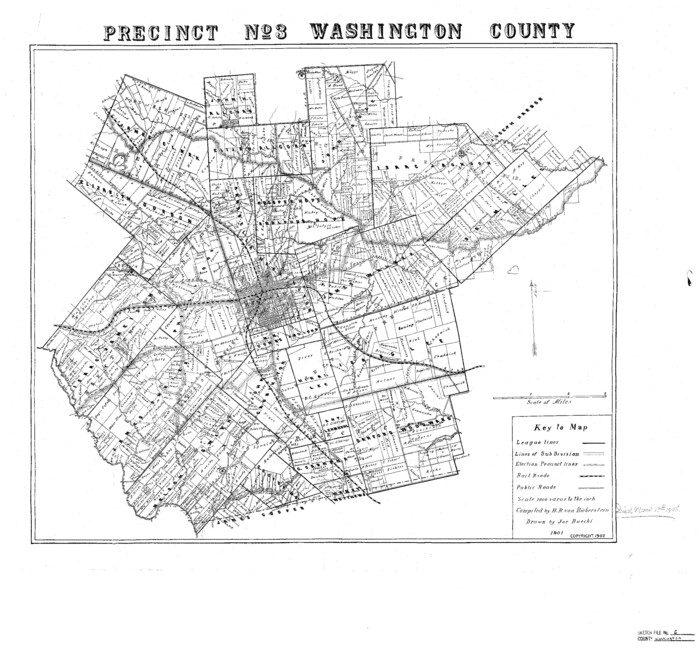
Washington County Sketch File 6
1901

Washington County Sketch File 5

Washington County Sketch File 4
1863
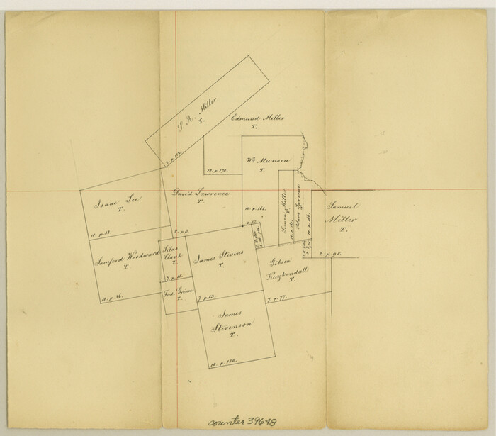
Washington County Sketch File 3
1860
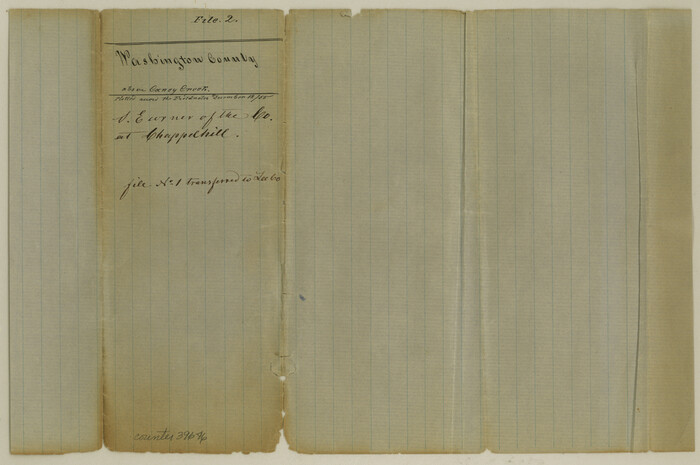
Washington County Sketch File 2
1855

Washington County
1920
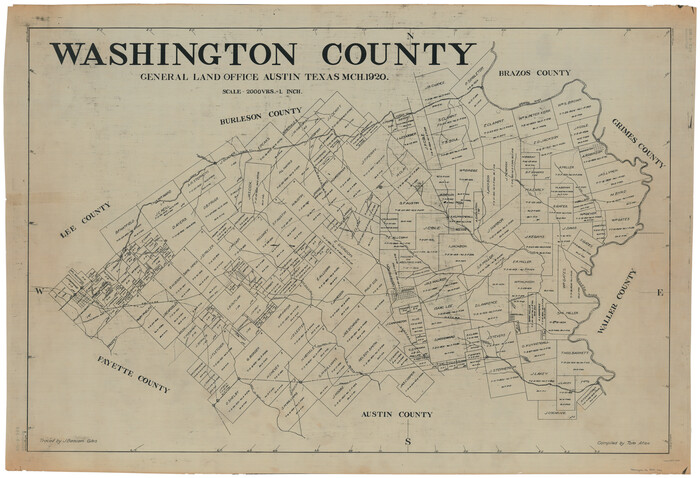
Washington County
1920
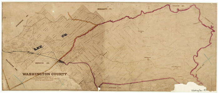
Washington County
1871
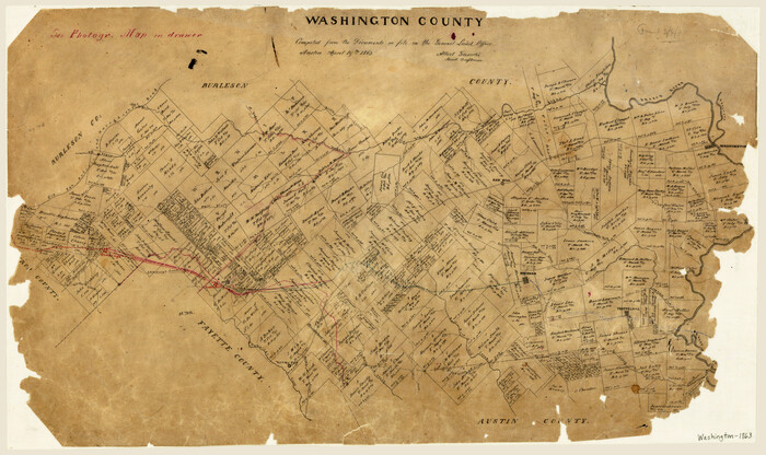
Washington County
1863

Washington County
1920
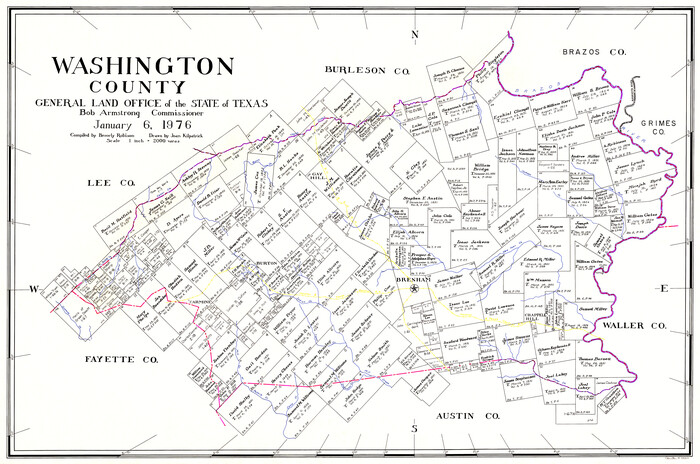
Washington County
1976
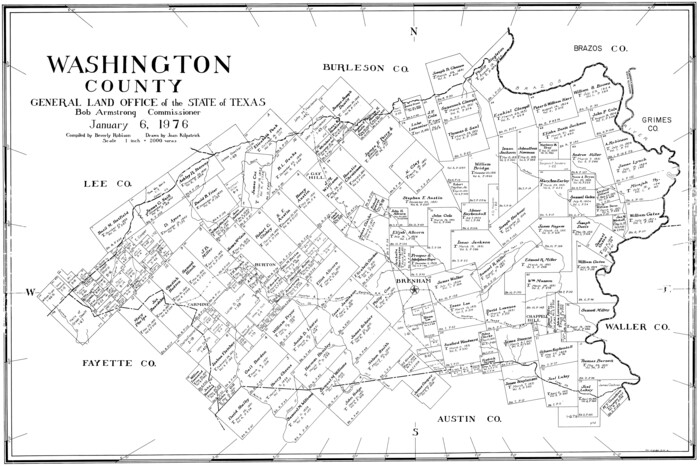
Washington County
1976
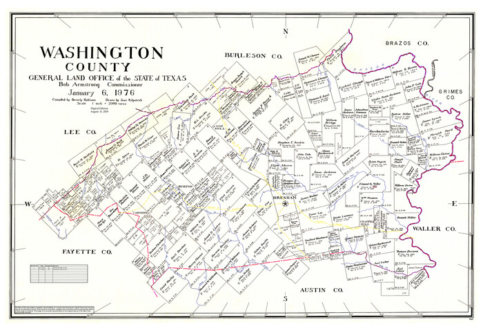
Washington County
1976
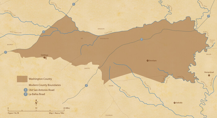
The Republic County of Washington. Spring 1842
2020

The Republic County of Washington. May 24, 1838
2020
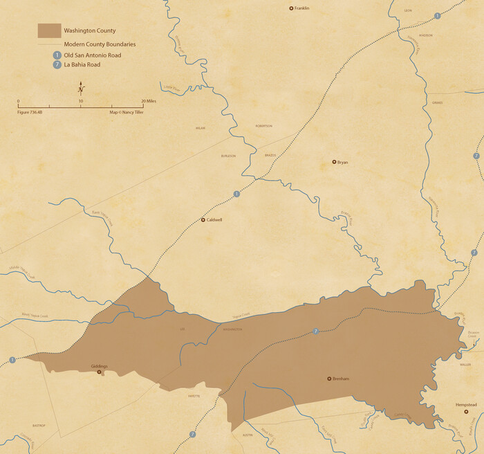
The Republic County of Washington. January 30, 1841
2020
![67, [Surveys in Austin's Colony along the Yegua River and Cedar Creek], General Map Collection](https://historictexasmaps.com/wmedia_w700/maps/67.tif.jpg)
[Surveys in Austin's Colony along the Yegua River and Cedar Creek]
1835
-
Size
15.7 x 19.3 inches
-
Map/Doc
67
-
Creation Date
1835
![204, [Surveys in Austin's Colony along New Year's Creek], General Map Collection](https://historictexasmaps.com/wmedia_w700/maps/204.tif.jpg)
[Surveys in Austin's Colony along New Year's Creek]
1828
-
Size
12.9 x 15.5 inches
-
Map/Doc
204
-
Creation Date
1828
![212, [Surveys in Austin's Colony along New Year's Creek and the Navidad River], General Map Collection](https://historictexasmaps.com/wmedia_w700/maps/212.tif.jpg)
[Surveys in Austin's Colony along New Year's Creek and the Navidad River]
-
Size
20.2 x 15.6 inches
-
Map/Doc
212
![218, [Surveys in Austin's Colony along New Year's Creek and near the Brazos River], General Map Collection](https://historictexasmaps.com/wmedia_w700/maps/218.tif.jpg)
[Surveys in Austin's Colony along New Year's Creek and near the Brazos River]
1821
-
Size
17.4 x 14.9 inches
-
Map/Doc
218
-
Creation Date
1821
![195, [Surveys in Austin's Colony along Hickory Creek, Hog Creek, and the Yegua River], General Map Collection](https://historictexasmaps.com/wmedia_w700/maps/195.tif.jpg)
[Surveys in Austin's Colony along Hickory Creek, Hog Creek, and the Yegua River]
1831
-
Size
19.4 x 23.9 inches
-
Map/Doc
195
-
Creation Date
1831
![91991, [Sketch around O. A. Seward surveys], Twichell Survey Records](https://historictexasmaps.com/wmedia_w700/maps/91991-1.tif.jpg)
[Sketch around O. A. Seward surveys]
-
Size
23.4 x 23.9 inches
-
Map/Doc
91991
![78353, [Atlas C, Table of Contents], General Map Collection](https://historictexasmaps.com/wmedia_w700/maps/78353.tif.jpg)
[Atlas C, Table of Contents]
-
Size
14.7 x 9.6 inches
-
Map/Doc
78353

Washington County Working Sketch Graphic Index
1976
-
Size
31.3 x 46.8 inches
-
Map/Doc
76733
-
Creation Date
1976

Washington County Working Sketch 4
1992
-
Size
28.2 x 25.2 inches
-
Map/Doc
72365
-
Creation Date
1992

Washington County Working Sketch 3
1992
-
Size
31.5 x 42.7 inches
-
Map/Doc
72364
-
Creation Date
1992

Washington County Working Sketch 2
1981
-
Size
23.6 x 20.1 inches
-
Map/Doc
72363
-
Creation Date
1981

Washington County Working Sketch 1
1957
-
Size
25.1 x 25.4 inches
-
Map/Doc
72362
-
Creation Date
1957

Washington County Texas
1879
-
Size
13.2 x 21.3 inches
-
Map/Doc
4124
-
Creation Date
1879

Washington County Sketch File 7
1873
-
Size
12.2 x 7.6 inches
-
Map/Doc
39654
-
Creation Date
1873

Washington County Sketch File 6
1901
-
Size
24.7 x 26.0 inches
-
Map/Doc
12602
-
Creation Date
1901

Washington County Sketch File 5
-
Size
8.0 x 7.0 inches
-
Map/Doc
39652

Washington County Sketch File 4
1863
-
Size
12.8 x 7.8 inches
-
Map/Doc
39650
-
Creation Date
1863

Washington County Sketch File 3
1860
-
Size
8.1 x 9.2 inches
-
Map/Doc
39648
-
Creation Date
1860

Washington County Sketch File 2
1855
-
Size
8.3 x 12.5 inches
-
Map/Doc
39646
-
Creation Date
1855

Washington County
1920
-
Size
32.5 x 47.2 inches
-
Map/Doc
16918
-
Creation Date
1920

Washington County
1920
-
Size
33.5 x 48.8 inches
-
Map/Doc
1900
-
Creation Date
1920

Washington County
1871
-
Size
11.9 x 27.7 inches
-
Map/Doc
4123
-
Creation Date
1871

Washington County
1863
-
Size
15.9 x 27.2 inches
-
Map/Doc
4127
-
Creation Date
1863

Washington County
1920
-
Size
33.4 x 48.6 inches
-
Map/Doc
63112
-
Creation Date
1920

Washington County
1976
-
Size
31.7 x 46.5 inches
-
Map/Doc
73317
-
Creation Date
1976

Washington County
1976
-
Size
30.4 x 45.6 inches
-
Map/Doc
77451
-
Creation Date
1976

Washington County
1976
-
Size
31.7 x 47.3 inches
-
Map/Doc
95667
-
Creation Date
1976

The Republic County of Washington. Spring 1842
2020
-
Size
11.8 x 21.7 inches
-
Map/Doc
96308
-
Creation Date
2020

The Republic County of Washington. May 24, 1838
2020
-
Size
20.3 x 21.7 inches
-
Map/Doc
96303
-
Creation Date
2020

The Republic County of Washington. January 30, 1841
2020
-
Size
20.3 x 21.7 inches
-
Map/Doc
96305
-
Creation Date
2020