[Surveys in Austin's Colony along the Yegua River and Cedar Creek]
Atlas D, Sketch 26 (D-26)
D-26
-
Map/Doc
67
-
Collection
General Map Collection
-
Object Dates
1835 (Creation Date)
-
Counties
Fayette Lee Washington Burleson
-
Subjects
Atlas
-
Height x Width
15.7 x 19.3 inches
39.9 x 49.0 cm
-
Medium
paper, manuscript
-
Scale
1:4000
-
Comments
Conserved in 2004.
-
Features
Cedar Creek
Mill Creek
Part of: General Map Collection
Edwards County Working Sketch 83


Print $20.00
- Digital $50.00
Edwards County Working Sketch 83
1965
Size 29.2 x 34.3 inches
Map/Doc 68959
J No. 4 - Reconnaissance of Catalina Harbor And the Anchorage on the N.E. Side of the Island, California


Print $20.00
- Digital $50.00
J No. 4 - Reconnaissance of Catalina Harbor And the Anchorage on the N.E. Side of the Island, California
1852
Size 18.3 x 13.1 inches
Map/Doc 97231
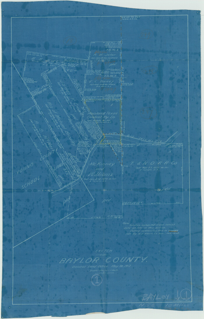
Baylor County Working Sketch 1

Print $20.00
- Digital $50.00
Baylor County Working Sketch 1
1912
Size 19.9 x 12.7 inches
Map/Doc 67286
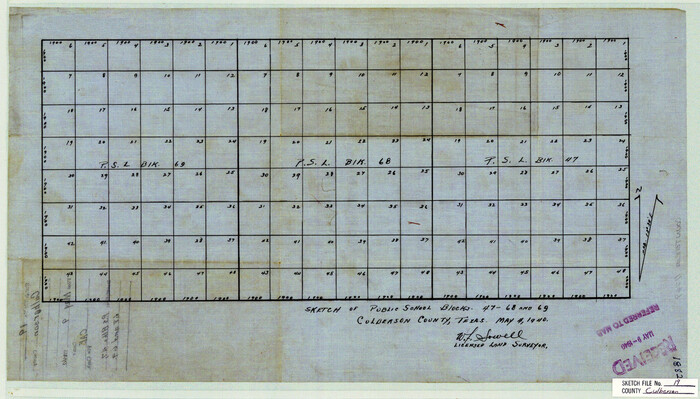
Culberson County Sketch File 19

Print $20.00
- Digital $50.00
Culberson County Sketch File 19
1940
Size 11.6 x 20.4 inches
Map/Doc 11269
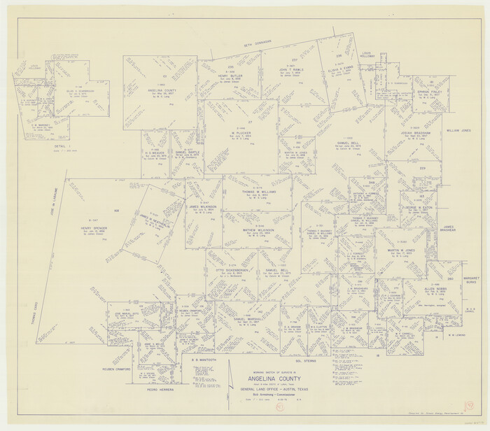
Angelina County Working Sketch 47

Print $20.00
- Digital $50.00
Angelina County Working Sketch 47
1976
Size 36.9 x 41.9 inches
Map/Doc 67130
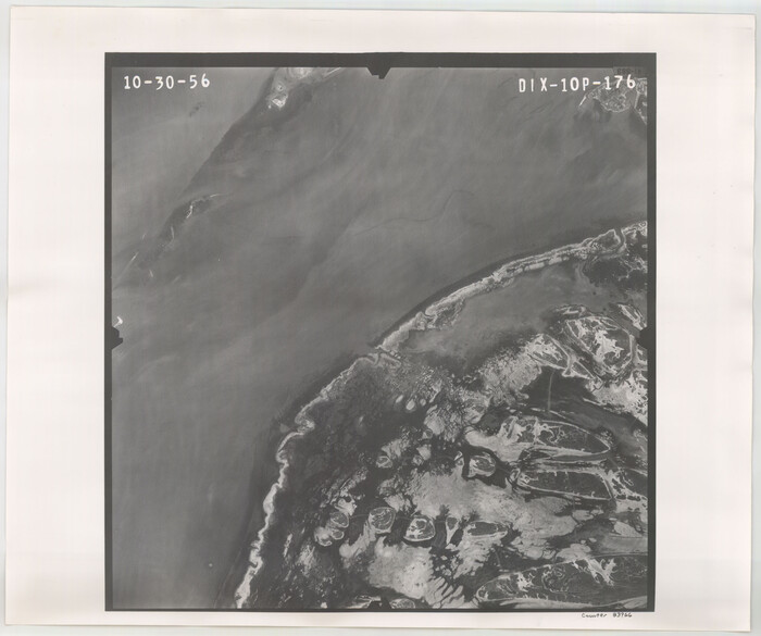
Flight Mission No. DIX-10P, Frame 176, Aransas County

Print $20.00
- Digital $50.00
Flight Mission No. DIX-10P, Frame 176, Aransas County
1956
Size 18.6 x 22.3 inches
Map/Doc 83966
Wharton County Sketch File 4b
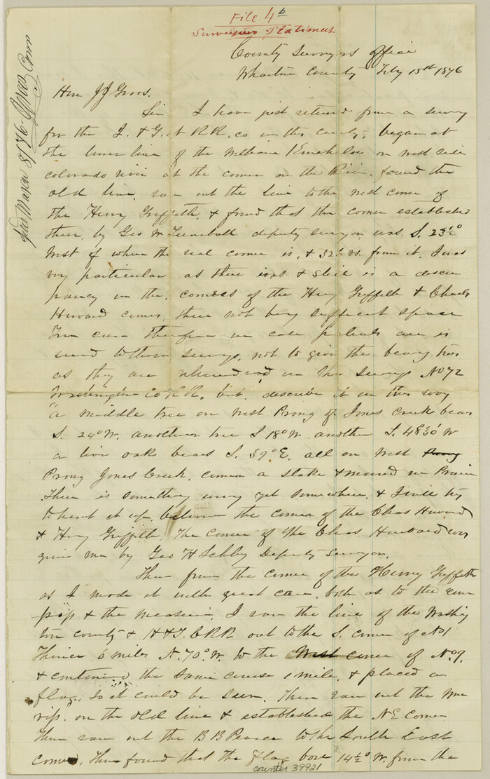

Print $4.00
- Digital $50.00
Wharton County Sketch File 4b
1876
Size 12.7 x 8.0 inches
Map/Doc 39921
Outer Continental Shelf Leasing Maps (Louisiana Offshore Operations)


Print $20.00
- Digital $50.00
Outer Continental Shelf Leasing Maps (Louisiana Offshore Operations)
1955
Size 10.3 x 11.6 inches
Map/Doc 76088
Millennium in Maps - Exploration


Millennium in Maps - Exploration
Size 20.6 x 31.5 inches
Map/Doc 95931
Brazoria County Working Sketch 5


Print $20.00
- Digital $50.00
Brazoria County Working Sketch 5
1921
Size 15.1 x 17.1 inches
Map/Doc 67490
Yoakum County Sketch File 5
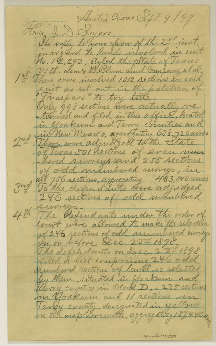

Print $10.00
- Digital $50.00
Yoakum County Sketch File 5
1899
Size 14.3 x 9.0 inches
Map/Doc 40733
Brewster County Rolled Sketch 114


Print $20.00
- Digital $50.00
Brewster County Rolled Sketch 114
1964
Size 11.6 x 17.3 inches
Map/Doc 5273
You may also like
Cooke County Working Sketch 8
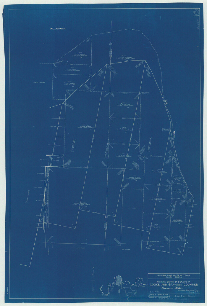

Print $20.00
- Digital $50.00
Cooke County Working Sketch 8
1940
Size 41.5 x 28.1 inches
Map/Doc 68245
Panola County
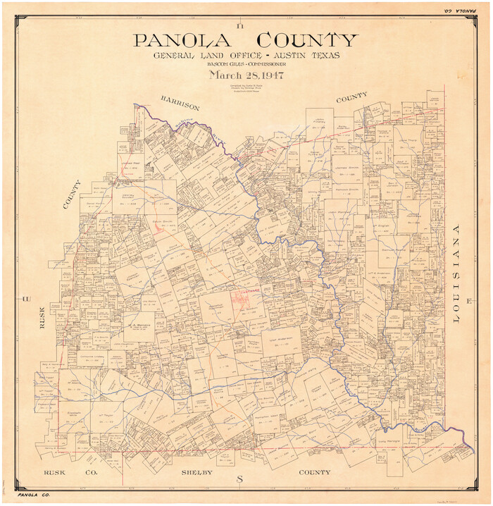

Print $20.00
- Digital $50.00
Panola County
1947
Size 40.7 x 40.3 inches
Map/Doc 73257
Brassos Santiago


Print $20.00
- Digital $50.00
Brassos Santiago
1853
Size 25.3 x 18.3 inches
Map/Doc 72913
Chambers County Rolled Sketch 27
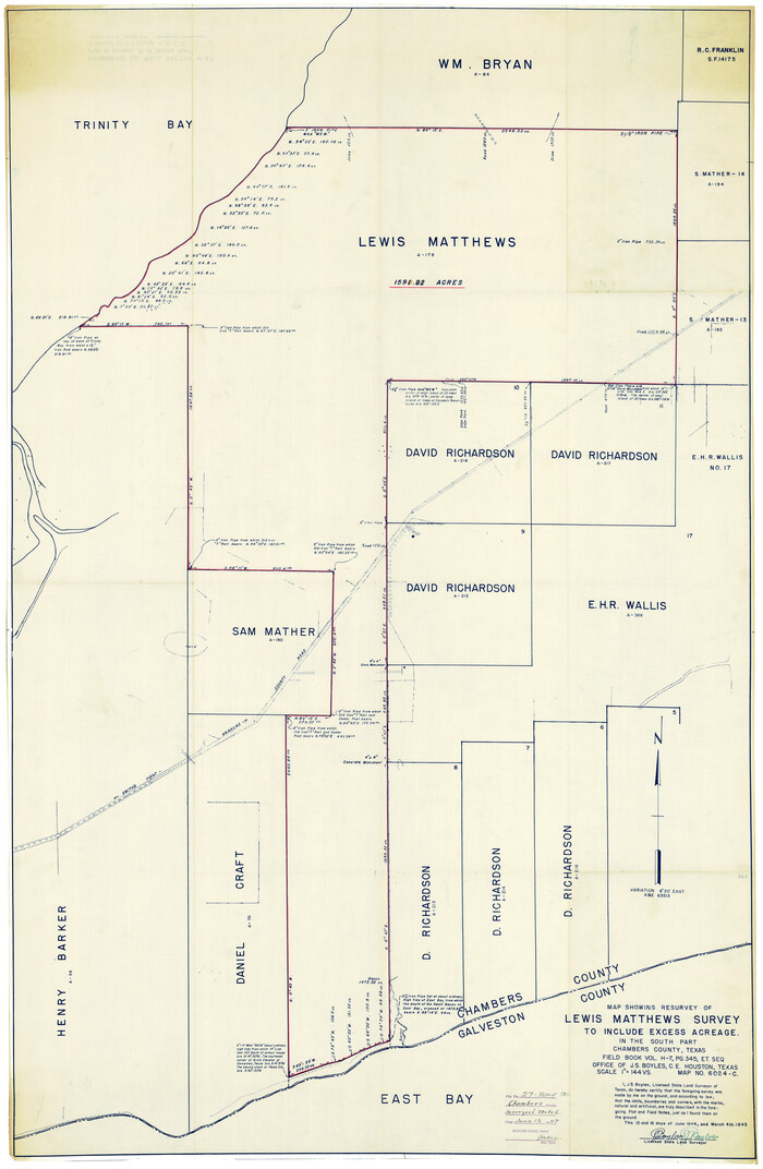

Print $40.00
- Digital $50.00
Chambers County Rolled Sketch 27
1944
Size 53.2 x 35.4 inches
Map/Doc 8619
Map of Public Roads in Terry County, Texas
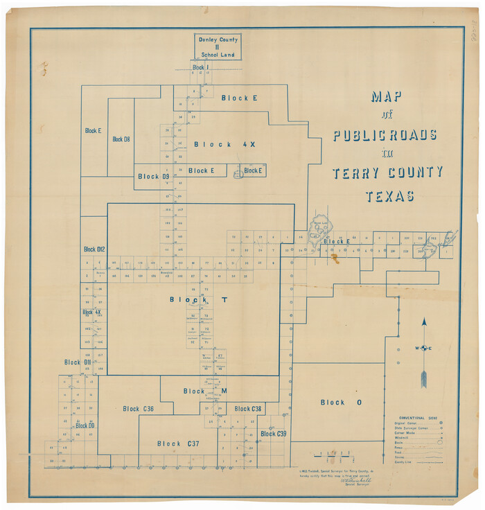

Print $20.00
- Digital $50.00
Map of Public Roads in Terry County, Texas
Size 34.0 x 36.1 inches
Map/Doc 91941
Dimmit County Boundary File 10
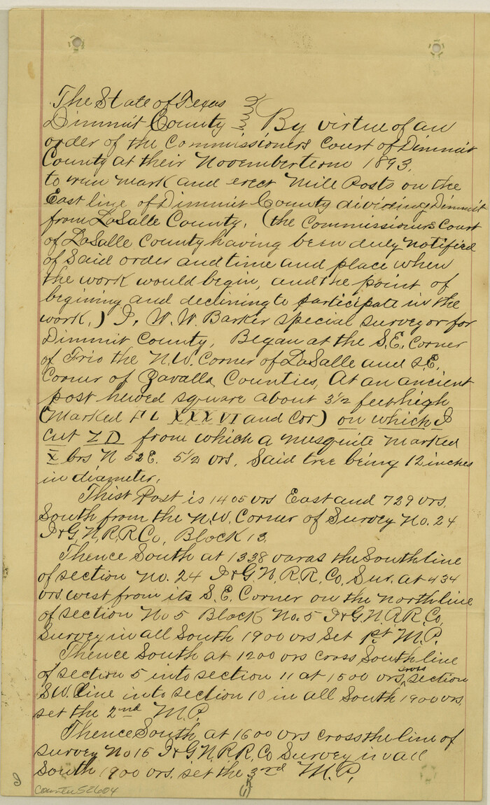

Print $32.00
- Digital $50.00
Dimmit County Boundary File 10
Size 14.2 x 8.6 inches
Map/Doc 52604
Jasper County Working Sketch 23
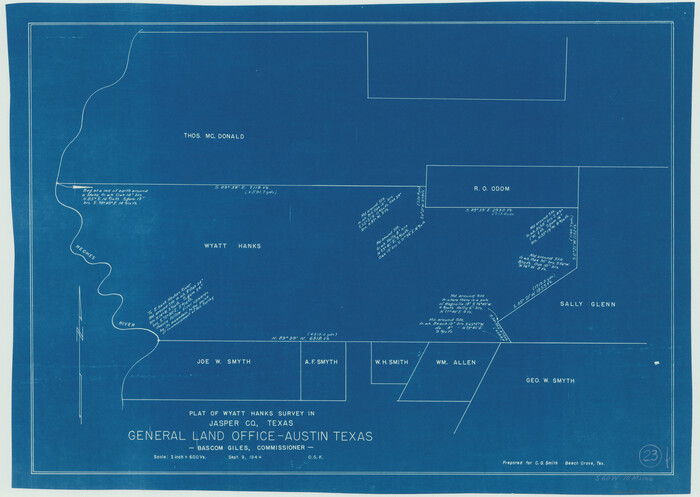

Print $20.00
- Digital $50.00
Jasper County Working Sketch 23
1944
Size 15.9 x 22.4 inches
Map/Doc 66485
Menard County Working Sketch 25


Print $20.00
- Digital $50.00
Menard County Working Sketch 25
1952
Size 32.2 x 42.8 inches
Map/Doc 70972
[Map of Texas and Pacific Blocks from Brazos River westward through Palo Pinto, Stephens, Shackelford, Jones, Callahan, Taylor, Fisher, Nolan and Mitchell Counties]
![93456, [Map of Texas and Pacific Blocks from Brazos River westward through Palo Pinto, Stephens, Shackelford, Jones, Callahan, Taylor, Fisher, Nolan and Mitchell Counties], General Map Collection](https://historictexasmaps.com/wmedia_w700/maps/93456-1.tif.jpg)
![93456, [Map of Texas and Pacific Blocks from Brazos River westward through Palo Pinto, Stephens, Shackelford, Jones, Callahan, Taylor, Fisher, Nolan and Mitchell Counties], General Map Collection](https://historictexasmaps.com/wmedia_w700/maps/93456-1.tif.jpg)
Print $20.00
- Digital $50.00
[Map of Texas and Pacific Blocks from Brazos River westward through Palo Pinto, Stephens, Shackelford, Jones, Callahan, Taylor, Fisher, Nolan and Mitchell Counties]
Size 22.0 x 18.5 inches
Map/Doc 93456
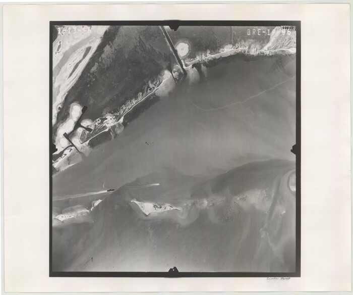
Flight Mission No. BRE-1P, Frame 96, Nueces County

Print $20.00
- Digital $50.00
Flight Mission No. BRE-1P, Frame 96, Nueces County
1956
Size 18.5 x 22.2 inches
Map/Doc 86667
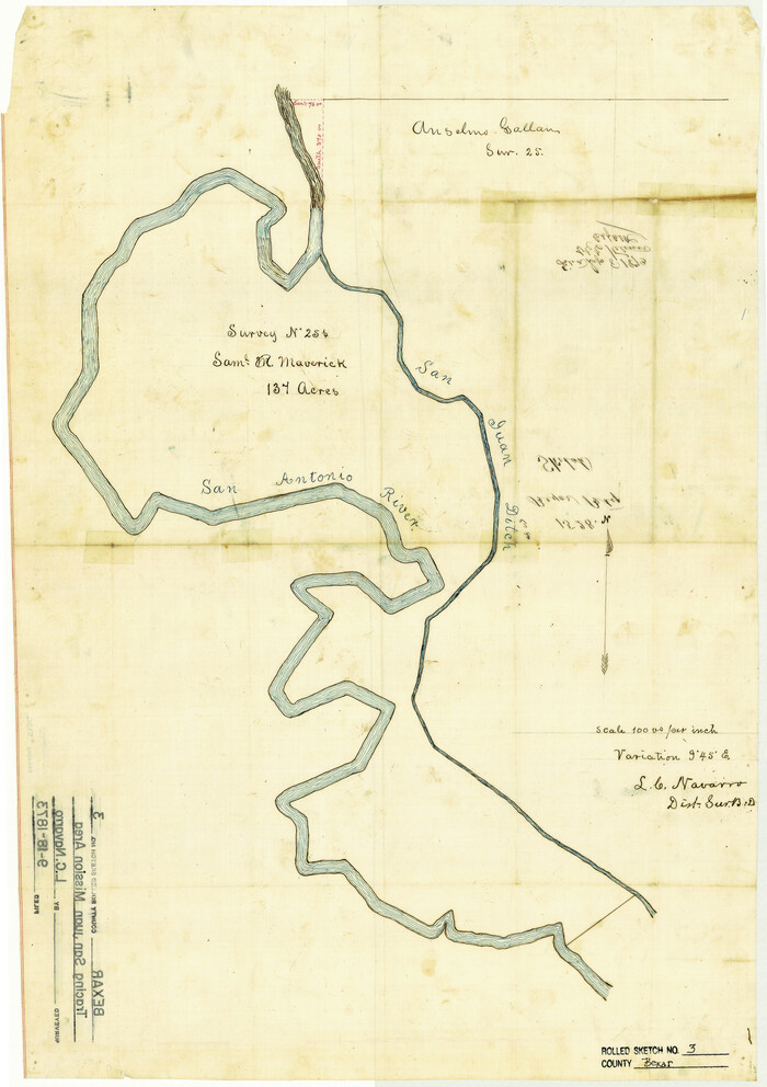
Bexar County Rolled Sketch 3

Print $20.00
- Digital $50.00
Bexar County Rolled Sketch 3
1873
Size 25.5 x 18.0 inches
Map/Doc 5136
Dallas/Fort Worth Street Map & Visitor Guide
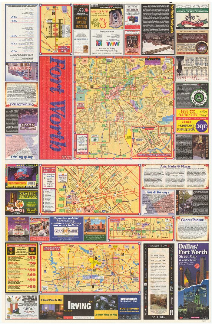

Dallas/Fort Worth Street Map & Visitor Guide
2000
Size 35.6 x 23.2 inches
Map/Doc 94295
![67, [Surveys in Austin's Colony along the Yegua River and Cedar Creek], General Map Collection](https://historictexasmaps.com/wmedia_w1800h1800/maps/67.tif.jpg)