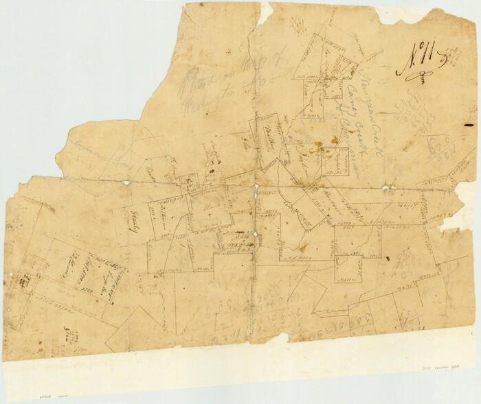
[Surveys in Austin's Colony along New Year's Creek and the Navidad River]
Print $20.00
- Digital $50.00
[Surveys in Austin's Colony along New Year's Creek and the Navidad River]
Size: 20.2 x 15.6 inches
212
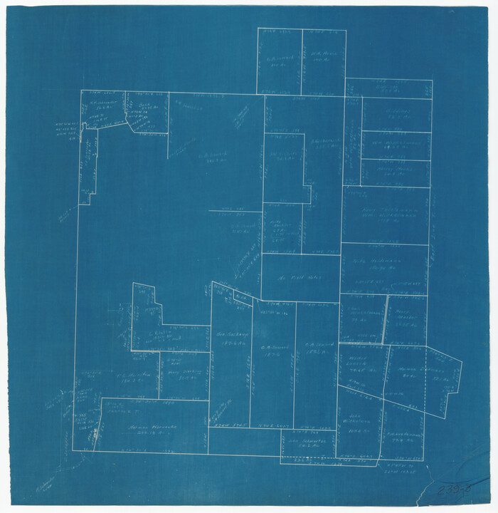
Washington County Sketch File 5

Print $4.00
- Digital $50.00
Washington County Sketch File 5
Size: 8.0 x 7.0 inches
39652
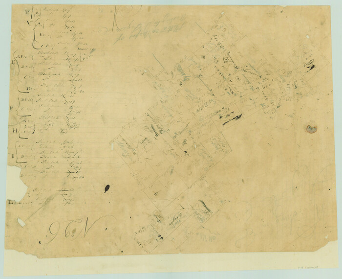
[Atlas C, Table of Contents]
Print $3.00
- Digital $50.00
[Atlas C, Table of Contents]
Size: 14.7 x 9.6 inches
78353
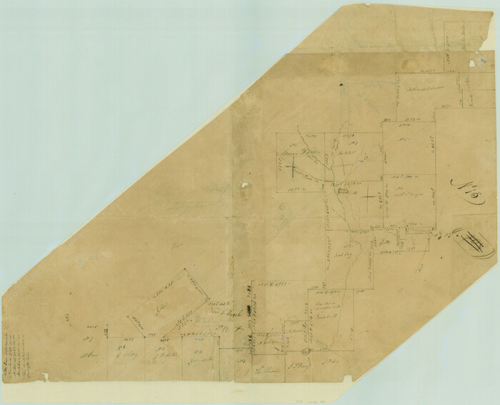
[Sketch around O. A. Seward surveys]
Print $20.00
- Digital $50.00
[Sketch around O. A. Seward surveys]
Size: 23.4 x 23.9 inches
91991
[Surveys in Austin's Colony along New Year's Creek and near the Brazos River]
Print $20.00
- Digital $50.00
[Surveys in Austin's Colony along New Year's Creek and near the Brazos River]
1821
Size: 17.4 x 14.9 inches
218
[Surveys in Austin's Colony along New Year's Creek]
Print $20.00
- Digital $50.00
[Surveys in Austin's Colony along New Year's Creek]
1828
Size: 12.9 x 15.5 inches
204
Surveys in Austin's Colony along the east fork of Mill Creek

Print $20.00
- Digital $50.00
Surveys in Austin's Colony along the east fork of Mill Creek
1830
Size: 23.7 x 12.6 inches
208
[Surveys in Austin's Colony along Hickory Creek, Hog Creek, and the Yegua River]
Print $20.00
- Digital $50.00
[Surveys in Austin's Colony along Hickory Creek, Hog Creek, and the Yegua River]
1831
Size: 19.4 x 23.9 inches
195
English Field Notes of the Spanish Archives - Book 11

English Field Notes of the Spanish Archives - Book 11
1832
96537
English Field Notes of the Spanish Archives - Book 12

English Field Notes of the Spanish Archives - Book 12
1832
96538
English Field Notes of the Spanish Archives - Book 1

English Field Notes of the Spanish Archives - Book 1
1833
96527
[Surveys in Austin's Colony along the Yegua River and Cedar Creek]
Print $20.00
- Digital $50.00
[Surveys in Austin's Colony along the Yegua River and Cedar Creek]
1835
Size: 15.7 x 19.3 inches
67
English Field Notes of the Spanish Archives - Book 2

English Field Notes of the Spanish Archives - Book 2
1835
96528
English Field Notes of the Spanish Archives - Book 5

English Field Notes of the Spanish Archives - Book 5
1835
96531
English Field Notes of the Spanish Archives - Book 7

English Field Notes of the Spanish Archives - Book 7
1835
96533
English Field Notes of the Spanish Archives - Book 9

English Field Notes of the Spanish Archives - Book 9
1835
96535
English Field Notes of the Spanish Archives - Book 10

English Field Notes of the Spanish Archives - Book 10
1835
96536
English Field Notes of the Spanish Archives - Book D

English Field Notes of the Spanish Archives - Book D
1835
96542
English Field Notes of the Spanish Archives - Book 4 & W

English Field Notes of the Spanish Archives - Book 4 & W
1836
96530
Map of Washington County

Print $20.00
- Digital $50.00
Map of Washington County
1841
Size: 28.5 x 29.0 inches
4122
Map of Washington County

Print $20.00
- Digital $50.00
Map of Washington County
1841
Size: 18.9 x 27.1 inches
4126
Map of Washington District

Print $20.00
- Digital $50.00
Map of Washington District
1847
Size: 17.6 x 26.8 inches
4125
Washington County Sketch File 2

Print $4.00
- Digital $50.00
Washington County Sketch File 2
1855
Size: 8.3 x 12.5 inches
39646
Washington County Sketch File 3

Print $4.00
- Digital $50.00
Washington County Sketch File 3
1860
Size: 8.1 x 9.2 inches
39648
Washington County Sketch File 4

Print $4.00
- Digital $50.00
Washington County Sketch File 4
1863
Size: 12.8 x 7.8 inches
39650
Washington County

Print $20.00
- Digital $50.00
Washington County
1863
Size: 15.9 x 27.2 inches
4127
Map of the Town of Giddings

Print $20.00
- Digital $50.00
Map of the Town of Giddings
1871
Size: 23.9 x 29.8 inches
89270
Washington County

Print $20.00
- Digital $50.00
Washington County
1871
Size: 11.9 x 27.7 inches
4123
Map of the Western Branch of Houston & Tex. Central R.R. for the Distance from Brenham to Austin

Print $40.00
- Digital $50.00
Map of the Western Branch of Houston & Tex. Central R.R. for the Distance from Brenham to Austin
1872
Size: 32.6 x 97.3 inches
64578
Bird's Eye View of Brenham, Washington County, Texas

Print $20.00
Bird's Eye View of Brenham, Washington County, Texas
1873
Size: 20.0 x 25.7 inches
89075
[Surveys in Austin's Colony along New Year's Creek and the Navidad River]
Print $20.00
- Digital $50.00
[Surveys in Austin's Colony along New Year's Creek and the Navidad River]
-
Size
20.2 x 15.6 inches
-
Map/Doc
212
Washington County Sketch File 5
Print $4.00
- Digital $50.00
Washington County Sketch File 5
-
Size
8.0 x 7.0 inches
-
Map/Doc
39652
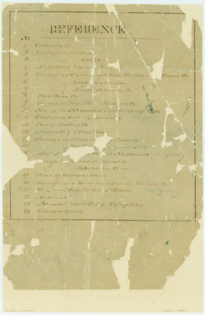
[Atlas C, Table of Contents]
Print $3.00
- Digital $50.00
[Atlas C, Table of Contents]
-
Size
14.7 x 9.6 inches
-
Map/Doc
78353
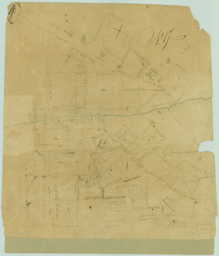
[Sketch around O. A. Seward surveys]
Print $20.00
- Digital $50.00
[Sketch around O. A. Seward surveys]
-
Size
23.4 x 23.9 inches
-
Map/Doc
91991
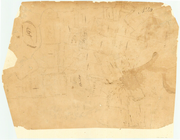
[Surveys in Austin's Colony along New Year's Creek and near the Brazos River]
Print $20.00
- Digital $50.00
[Surveys in Austin's Colony along New Year's Creek and near the Brazos River]
1821
-
Size
17.4 x 14.9 inches
-
Map/Doc
218
-
Creation Date
1821
[Surveys in Austin's Colony along New Year's Creek]
Print $20.00
- Digital $50.00
[Surveys in Austin's Colony along New Year's Creek]
1828
-
Size
12.9 x 15.5 inches
-
Map/Doc
204
-
Creation Date
1828
Surveys in Austin's Colony along the east fork of Mill Creek
Print $20.00
- Digital $50.00
Surveys in Austin's Colony along the east fork of Mill Creek
1830
-
Size
23.7 x 12.6 inches
-
Map/Doc
208
-
Creation Date
1830
[Surveys in Austin's Colony along Hickory Creek, Hog Creek, and the Yegua River]
Print $20.00
- Digital $50.00
[Surveys in Austin's Colony along Hickory Creek, Hog Creek, and the Yegua River]
1831
-
Size
19.4 x 23.9 inches
-
Map/Doc
195
-
Creation Date
1831
English Field Notes of the Spanish Archives - Book 11
English Field Notes of the Spanish Archives - Book 11
1832
-
Map/Doc
96537
-
Creation Date
1832
English Field Notes of the Spanish Archives - Book 12
English Field Notes of the Spanish Archives - Book 12
1832
-
Map/Doc
96538
-
Creation Date
1832
English Field Notes of the Spanish Archives - Book 1
English Field Notes of the Spanish Archives - Book 1
1833
-
Map/Doc
96527
-
Creation Date
1833
[Surveys in Austin's Colony along the Yegua River and Cedar Creek]
Print $20.00
- Digital $50.00
[Surveys in Austin's Colony along the Yegua River and Cedar Creek]
1835
-
Size
15.7 x 19.3 inches
-
Map/Doc
67
-
Creation Date
1835
English Field Notes of the Spanish Archives - Book 2
English Field Notes of the Spanish Archives - Book 2
1835
-
Map/Doc
96528
-
Creation Date
1835
English Field Notes of the Spanish Archives - Book 5
English Field Notes of the Spanish Archives - Book 5
1835
-
Map/Doc
96531
-
Creation Date
1835
English Field Notes of the Spanish Archives - Book 7
English Field Notes of the Spanish Archives - Book 7
1835
-
Map/Doc
96533
-
Creation Date
1835
English Field Notes of the Spanish Archives - Book 9
English Field Notes of the Spanish Archives - Book 9
1835
-
Map/Doc
96535
-
Creation Date
1835
English Field Notes of the Spanish Archives - Book 10
English Field Notes of the Spanish Archives - Book 10
1835
-
Map/Doc
96536
-
Creation Date
1835
English Field Notes of the Spanish Archives - Book D
English Field Notes of the Spanish Archives - Book D
1835
-
Map/Doc
96542
-
Creation Date
1835
English Field Notes of the Spanish Archives - Book 4 & W
English Field Notes of the Spanish Archives - Book 4 & W
1836
-
Map/Doc
96530
-
Creation Date
1836
Map of Washington County
Print $20.00
- Digital $50.00
Map of Washington County
1841
-
Size
28.5 x 29.0 inches
-
Map/Doc
4122
-
Creation Date
1841
Map of Washington County
Print $20.00
- Digital $50.00
Map of Washington County
1841
-
Size
18.9 x 27.1 inches
-
Map/Doc
4126
-
Creation Date
1841
Map of Washington District
Print $20.00
- Digital $50.00
Map of Washington District
1847
-
Size
17.6 x 26.8 inches
-
Map/Doc
4125
-
Creation Date
1847
Washington County Sketch File 2
Print $4.00
- Digital $50.00
Washington County Sketch File 2
1855
-
Size
8.3 x 12.5 inches
-
Map/Doc
39646
-
Creation Date
1855
Washington County Sketch File 3
Print $4.00
- Digital $50.00
Washington County Sketch File 3
1860
-
Size
8.1 x 9.2 inches
-
Map/Doc
39648
-
Creation Date
1860
Washington County Sketch File 4
Print $4.00
- Digital $50.00
Washington County Sketch File 4
1863
-
Size
12.8 x 7.8 inches
-
Map/Doc
39650
-
Creation Date
1863
Washington County
Print $20.00
- Digital $50.00
Washington County
1863
-
Size
15.9 x 27.2 inches
-
Map/Doc
4127
-
Creation Date
1863
Map of the Town of Giddings
Print $20.00
- Digital $50.00
Map of the Town of Giddings
1871
-
Size
23.9 x 29.8 inches
-
Map/Doc
89270
-
Creation Date
1871
Washington County
Print $20.00
- Digital $50.00
Washington County
1871
-
Size
11.9 x 27.7 inches
-
Map/Doc
4123
-
Creation Date
1871
Map of the Western Branch of Houston & Tex. Central R.R. for the Distance from Brenham to Austin
Print $40.00
- Digital $50.00
Map of the Western Branch of Houston & Tex. Central R.R. for the Distance from Brenham to Austin
1872
-
Size
32.6 x 97.3 inches
-
Map/Doc
64578
-
Creation Date
1872
Bird's Eye View of Brenham, Washington County, Texas
Print $20.00
Bird's Eye View of Brenham, Washington County, Texas
1873
-
Size
20.0 x 25.7 inches
-
Map/Doc
89075
-
Creation Date
1873