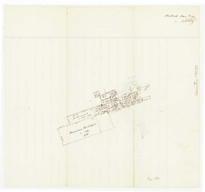
Bell County Sketch File 26a

Print $4.00
- Digital $50.00
Bell County Sketch File 26a
1883
Size: 9.0 x 9.6 inches
14433
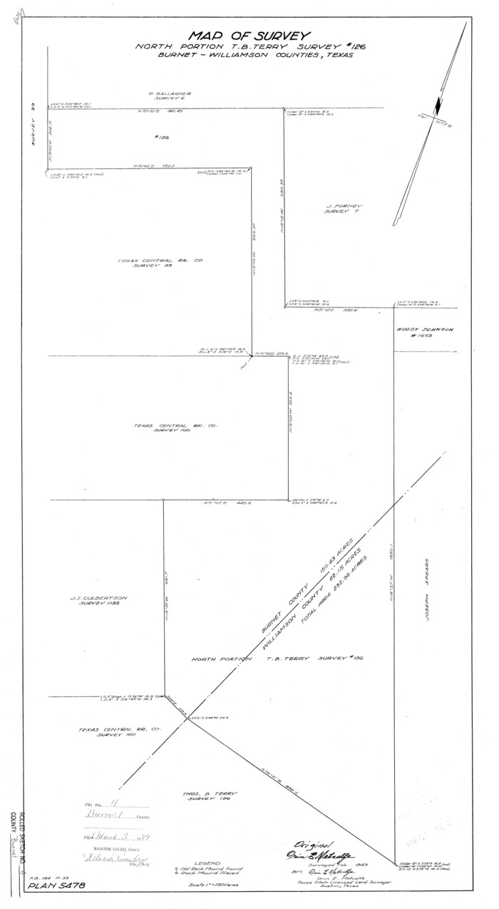
Burnet County Rolled Sketch 4

Print $20.00
- Digital $50.00
Burnet County Rolled Sketch 4
1949
Size: 31.9 x 17.5 inches
5356
Burnet County Working Sketch 11


Print $20.00
- Digital $50.00
Burnet County Working Sketch 11
1975
Size: 26.5 x 28.9 inches
67854
Burnet County Working Sketch 15


Print $20.00
- Digital $50.00
Burnet County Working Sketch 15
1979
Size: 38.2 x 30.4 inches
67858
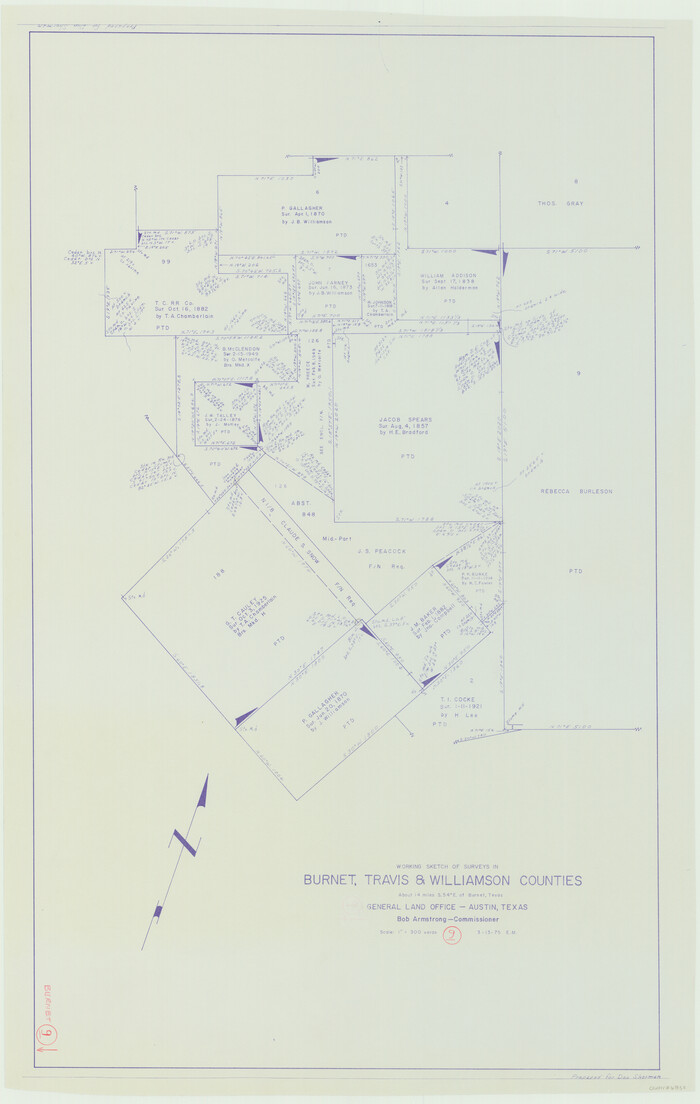
Burnet County Working Sketch 9

Print $20.00
- Digital $50.00
Burnet County Working Sketch 9
1975
Size: 39.7 x 25.2 inches
67852
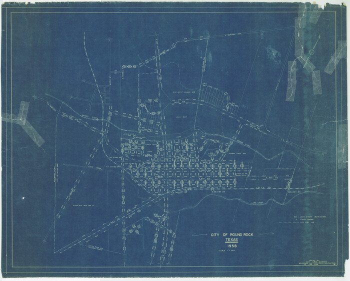
City of Round Rock, Texas

Print $20.00
City of Round Rock, Texas
1958
Size: 25.3 x 31.5 inches
87359
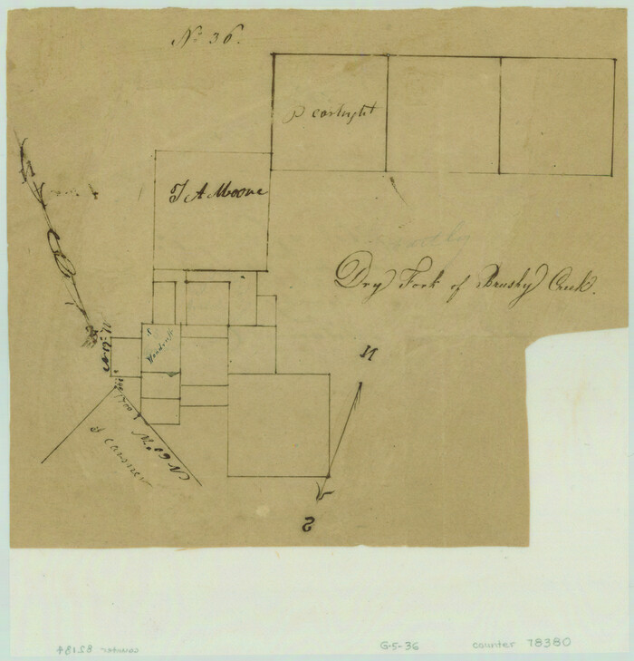
Dry Fork of Brushy Creek

Print $2.00
- Digital $50.00
Dry Fork of Brushy Creek
Size: 7.1 x 6.8 inches
78380
English Field Notes of the Spanish Archives - Book A-B


English Field Notes of the Spanish Archives - Book A-B
1835
96540
English Field Notes of the Spanish Archives - Book D


English Field Notes of the Spanish Archives - Book D
1835
96542
English Field Notes of the Spanish Archives - Books BTB, GA, BT, and X


English Field Notes of the Spanish Archives - Books BTB, GA, BT, and X
1835
96554
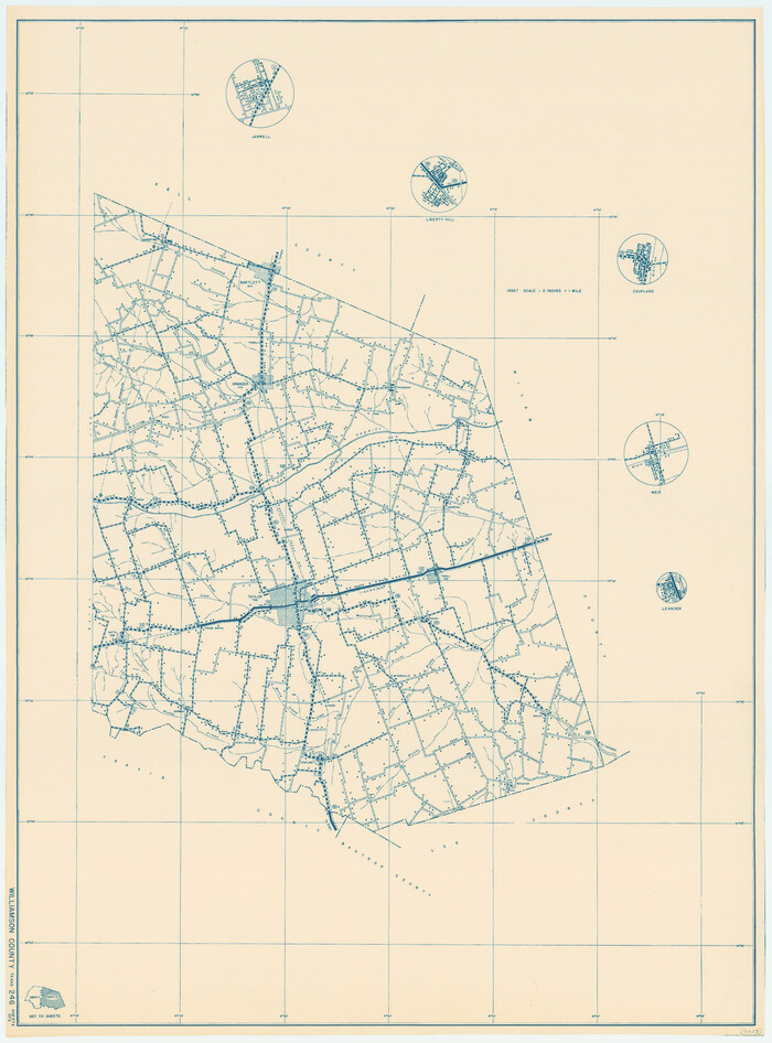
General Highway Map, Williamson County, Texas

Print $20.00
General Highway Map, Williamson County, Texas
1940
Size: 24.8 x 18.4 inches
79280
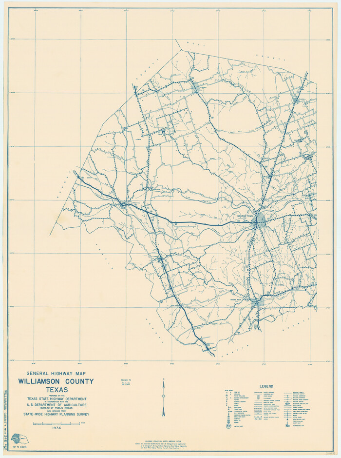
General Highway Map, Williamson County, Texas

Print $20.00
General Highway Map, Williamson County, Texas
1940
Size: 24.7 x 18.4 inches
79281
General Highway Map, Williamson County, Texas


Print $20.00
General Highway Map, Williamson County, Texas
1961
Size: 24.8 x 18.2 inches
79712
General Highway Map, Williamson County, Texas


Print $20.00
General Highway Map, Williamson County, Texas
1961
Size: 24.8 x 18.2 inches
79713
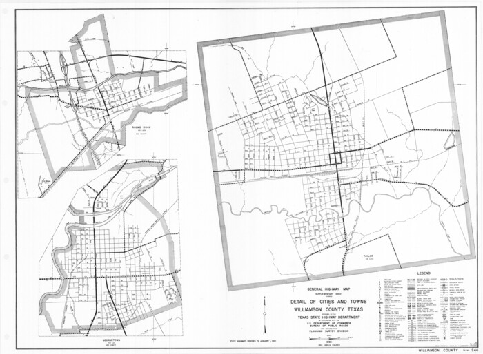
General Highway Map. Detail of Cities and Towns in Williamson County, Texas [Round Rock, Taylor, Georgetown]

Print $20.00
General Highway Map. Detail of Cities and Towns in Williamson County, Texas [Round Rock, Taylor, Georgetown]
1961
Size: 18.2 x 24.8 inches
79714
Map and Profile of Georgetown Railroad


Print $20.00
- Digital $50.00
Map and Profile of Georgetown Railroad
1879
Size: 18.9 x 41.5 inches
64453
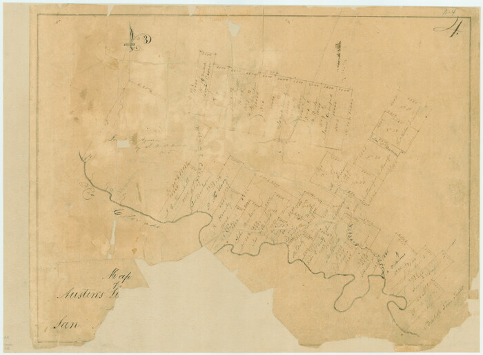
Map of Austin's Li[ttle Colony Above the] San [Antonio Road]

Print $20.00
- Digital $50.00
Map of Austin's Li[ttle Colony Above the] San [Antonio Road]
1831
Size: 14.2 x 19.3 inches
215
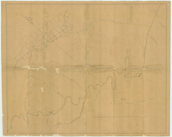
Map of Austin's Little Colony

Print $20.00
- Digital $50.00
Map of Austin's Little Colony
Size: 19.0 x 23.3 inches
76007
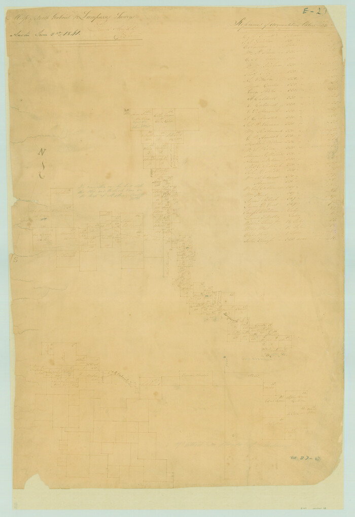
Map of San Gabriel & Lampassas [sic] Surveys

Print $20.00
- Digital $50.00
Map of San Gabriel & Lampassas [sic] Surveys
1841
Size: 29.0 x 20.0 inches
58
Map of Taylor, Bastrop & Houston Railroad in Williamson, Travis, & Bastrop Counties, Texas


Print $20.00
- Digital $50.00
Map of Taylor, Bastrop & Houston Railroad in Williamson, Travis, & Bastrop Counties, Texas
1887
Size: 26.3 x 17.8 inches
65468
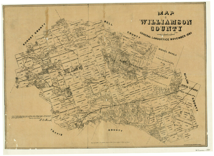
Map of Williamson County

Print $20.00
- Digital $50.00
Map of Williamson County
1880
Size: 20.9 x 29.0 inches
4148
Map of Williamson County


Print $20.00
- Digital $50.00
Map of Williamson County
1856
Size: 21.8 x 27.6 inches
4149
Map of Williamson County


Print $20.00
- Digital $50.00
Map of Williamson County
1863
Size: 22.7 x 29.7 inches
4150
Map of Williamson County
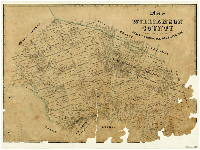

Print $20.00
- Digital $50.00
Map of Williamson County
1876
Size: 21.2 x 28.6 inches
4152
Map of survey 189, T. C. R.R. Co. in Travis County, Texas
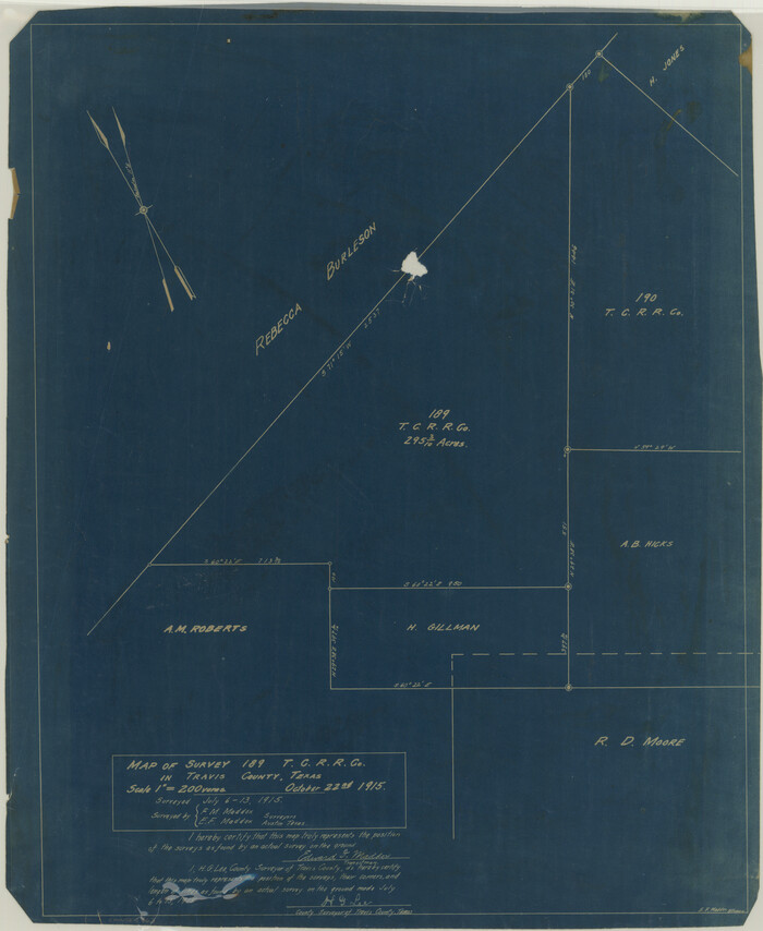

Print $20.00
- Digital $50.00
Map of survey 189, T. C. R.R. Co. in Travis County, Texas
1915
Size: 18.5 x 15.2 inches
663
Map of survey 189, T. C. R.R. Co. in Travis County, Texas
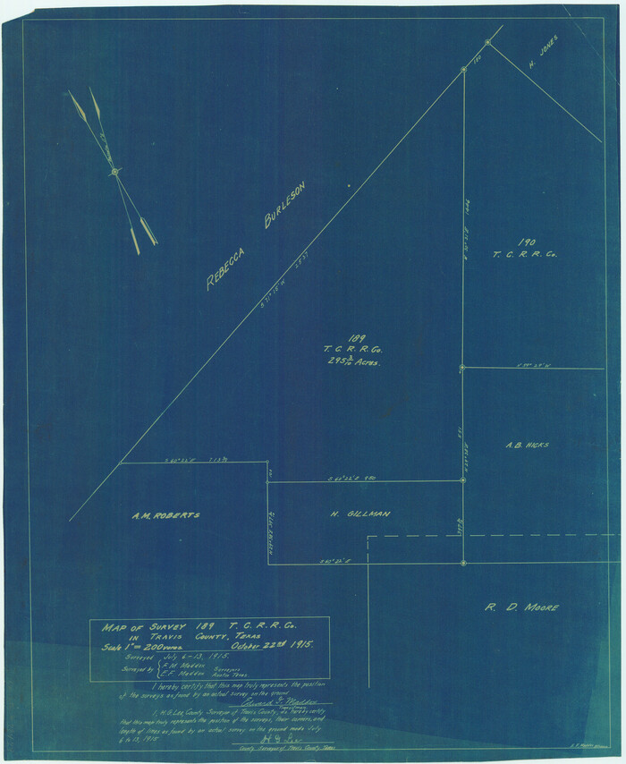

Print $20.00
- Digital $50.00
Map of survey 189, T. C. R.R. Co. in Travis County, Texas
1915
Size: 18.6 x 15.2 inches
78479
Map of surveys 189 & 190, T. C. R.R. Co. in Travis County, Texas


Print $20.00
- Digital $50.00
Map of surveys 189 & 190, T. C. R.R. Co. in Travis County, Texas
1915
Size: 18.5 x 25.0 inches
75761
Bell County Sketch File 26a


Print $4.00
- Digital $50.00
Bell County Sketch File 26a
1883
-
Size
9.0 x 9.6 inches
-
Map/Doc
14433
-
Creation Date
1883
Burnet County Rolled Sketch 4


Print $20.00
- Digital $50.00
Burnet County Rolled Sketch 4
1949
-
Size
31.9 x 17.5 inches
-
Map/Doc
5356
-
Creation Date
1949
Burnet County Working Sketch 11


Print $20.00
- Digital $50.00
Burnet County Working Sketch 11
1975
-
Size
26.5 x 28.9 inches
-
Map/Doc
67854
-
Creation Date
1975
Burnet County Working Sketch 15


Print $20.00
- Digital $50.00
Burnet County Working Sketch 15
1979
-
Size
38.2 x 30.4 inches
-
Map/Doc
67858
-
Creation Date
1979
Burnet County Working Sketch 9


Print $20.00
- Digital $50.00
Burnet County Working Sketch 9
1975
-
Size
39.7 x 25.2 inches
-
Map/Doc
67852
-
Creation Date
1975
City of Round Rock, Texas


Print $20.00
City of Round Rock, Texas
1958
-
Size
25.3 x 31.5 inches
-
Map/Doc
87359
-
Creation Date
1958
Dry Fork of Brushy Creek


Print $2.00
- Digital $50.00
Dry Fork of Brushy Creek
-
Size
7.1 x 6.8 inches
-
Map/Doc
78380
English Field Notes of the Spanish Archives - Book A-B


English Field Notes of the Spanish Archives - Book A-B
1835
-
Map/Doc
96540
-
Creation Date
1835
English Field Notes of the Spanish Archives - Book D


English Field Notes of the Spanish Archives - Book D
1835
-
Map/Doc
96542
-
Creation Date
1835
English Field Notes of the Spanish Archives - Books BTB, GA, BT, and X


English Field Notes of the Spanish Archives - Books BTB, GA, BT, and X
1835
-
Map/Doc
96554
-
Creation Date
1835
General Highway Map, Williamson County, Texas


Print $20.00
General Highway Map, Williamson County, Texas
1940
-
Size
24.8 x 18.4 inches
-
Map/Doc
79280
-
Creation Date
1940
General Highway Map, Williamson County, Texas


Print $20.00
General Highway Map, Williamson County, Texas
1940
-
Size
24.7 x 18.4 inches
-
Map/Doc
79281
-
Creation Date
1940
General Highway Map, Williamson County, Texas


Print $20.00
General Highway Map, Williamson County, Texas
1961
-
Size
24.8 x 18.2 inches
-
Map/Doc
79712
-
Creation Date
1961
General Highway Map, Williamson County, Texas


Print $20.00
General Highway Map, Williamson County, Texas
1961
-
Size
24.8 x 18.2 inches
-
Map/Doc
79713
-
Creation Date
1961
General Highway Map. Detail of Cities and Towns in Williamson County, Texas [Round Rock, Taylor, Georgetown]
![79714, General Highway Map. Detail of Cities and Towns in Williamson County, Texas [Round Rock, Taylor, Georgetown], Texas State Library and Archives](https://historictexasmaps.com/wmedia_w700/maps/79714.tif.jpg)
![79714, General Highway Map. Detail of Cities and Towns in Williamson County, Texas [Round Rock, Taylor, Georgetown], Texas State Library and Archives](https://historictexasmaps.com/wmedia_w700/maps/79714.tif.jpg)
Print $20.00
General Highway Map. Detail of Cities and Towns in Williamson County, Texas [Round Rock, Taylor, Georgetown]
1961
-
Size
18.2 x 24.8 inches
-
Map/Doc
79714
-
Creation Date
1961
Greater Austin, Texas Streetmap
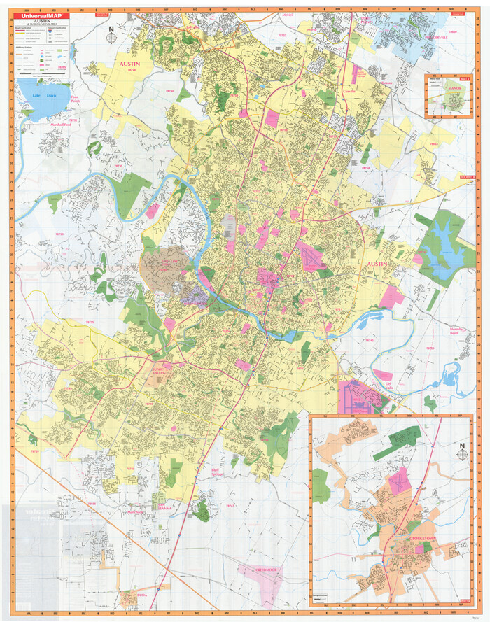

Greater Austin, Texas Streetmap
-
Size
46.1 x 36.3 inches
-
Map/Doc
94430
Greater Austin, Texas Streetmap


Greater Austin, Texas Streetmap
-
Size
45.8 x 36.2 inches
-
Map/Doc
94431
Map and Profile of Georgetown Railroad


Print $20.00
- Digital $50.00
Map and Profile of Georgetown Railroad
1879
-
Size
18.9 x 41.5 inches
-
Map/Doc
64453
-
Creation Date
1879
Map of Austin's Li[ttle Colony Above the] San [Antonio Road]
![215, Map of Austin's Li[ttle Colony Above the] San [Antonio Road], General Map Collection](https://historictexasmaps.com/wmedia_w700/maps/215.tif.jpg)
![215, Map of Austin's Li[ttle Colony Above the] San [Antonio Road], General Map Collection](https://historictexasmaps.com/wmedia_w700/maps/215.tif.jpg)
Print $20.00
- Digital $50.00
Map of Austin's Li[ttle Colony Above the] San [Antonio Road]
1831
-
Size
14.2 x 19.3 inches
-
Map/Doc
215
-
Creation Date
1831
Map of Austin's Little Colony


Print $20.00
- Digital $50.00
Map of Austin's Little Colony
-
Size
19.0 x 23.3 inches
-
Map/Doc
76007
Map of San Gabriel & Lampassas [sic] Surveys
![58, Map of San Gabriel & Lampassas [sic] Surveys, General Map Collection](https://historictexasmaps.com/wmedia_w700/maps/58.tif.jpg)
![58, Map of San Gabriel & Lampassas [sic] Surveys, General Map Collection](https://historictexasmaps.com/wmedia_w700/maps/58.tif.jpg)
Print $20.00
- Digital $50.00
Map of San Gabriel & Lampassas [sic] Surveys
1841
-
Size
29.0 x 20.0 inches
-
Map/Doc
58
-
Creation Date
1841
Map of Taylor, Bastrop & Houston Railroad in Williamson, Travis, & Bastrop Counties, Texas


Print $20.00
- Digital $50.00
Map of Taylor, Bastrop & Houston Railroad in Williamson, Travis, & Bastrop Counties, Texas
1887
-
Size
26.3 x 17.8 inches
-
Map/Doc
65468
-
Creation Date
1887
Map of Williamson County


Print $20.00
- Digital $50.00
Map of Williamson County
1880
-
Size
20.9 x 29.0 inches
-
Map/Doc
4148
-
Creation Date
1880
Map of Williamson County


Print $20.00
- Digital $50.00
Map of Williamson County
1856
-
Size
21.8 x 27.6 inches
-
Map/Doc
4149
-
Creation Date
1856
Map of Williamson County


Print $20.00
- Digital $50.00
Map of Williamson County
1863
-
Size
22.7 x 29.7 inches
-
Map/Doc
4150
-
Creation Date
1863
Map of Williamson County


Print $20.00
- Digital $50.00
Map of Williamson County
1876
-
Size
21.2 x 28.6 inches
-
Map/Doc
4152
-
Creation Date
1876
Map of survey 189, T. C. R.R. Co. in Travis County, Texas


Print $20.00
- Digital $50.00
Map of survey 189, T. C. R.R. Co. in Travis County, Texas
1915
-
Size
18.5 x 15.2 inches
-
Map/Doc
663
-
Creation Date
1915
Map of survey 189, T. C. R.R. Co. in Travis County, Texas


Print $20.00
- Digital $50.00
Map of survey 189, T. C. R.R. Co. in Travis County, Texas
1915
-
Size
18.6 x 15.2 inches
-
Map/Doc
78479
-
Creation Date
1915
Map of surveys 189 & 190, T. C. R.R. Co. in Travis County, Texas


Print $20.00
- Digital $50.00
Map of surveys 189 & 190, T. C. R.R. Co. in Travis County, Texas
1915
-
Size
18.5 x 25.0 inches
-
Map/Doc
75761
-
Creation Date
1915
