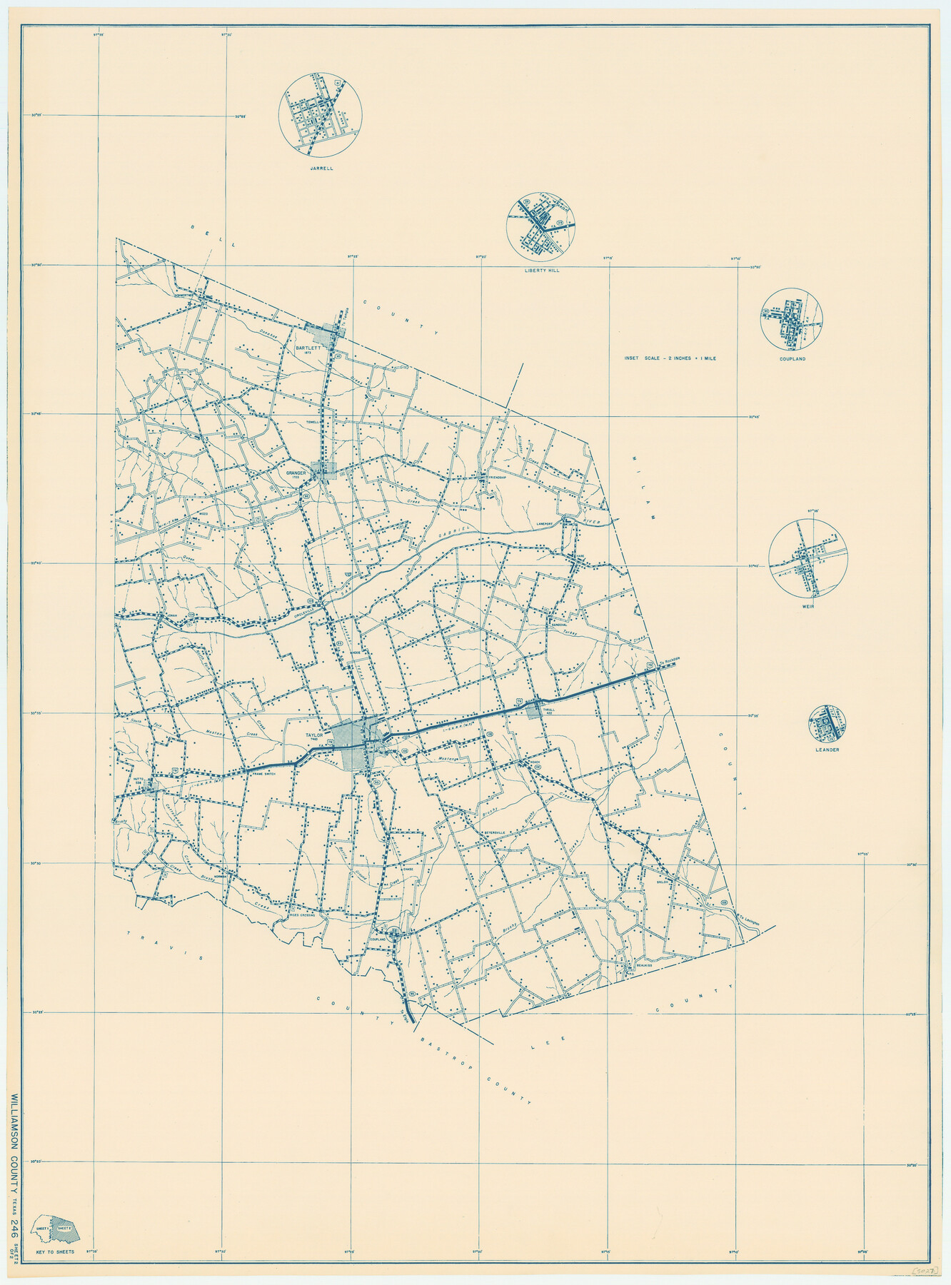
General Highway Map, Williamson County, Texas
-
Map/Doc
79280
-
Collection
Texas State Library and Archives
-
Object Dates
1940 (Creation Date)
-
People and Organizations
Texas State Highway Department (Publisher)
-
Counties
Williamson
-
Subjects
County
-
Height x Width
24.8 x 18.4 inches
63.0 x 46.7 cm
-
Comments
Prints available courtesy of the Texas State Library and Archives.
More info can be found here: TSLAC Map 05027
Part of: Texas State Library and Archives
General Highway Map, Dallam County, Texas

Print $20.00
General Highway Map, Dallam County, Texas
1961
Size 24.6 x 18.3 inches
Map/Doc 79428
General Highway Map, Glasscock County, Texas

Print $20.00
General Highway Map, Glasscock County, Texas
1961
Size 18.2 x 24.8 inches
Map/Doc 79480
General Highway Map. Detail of Cities and Towns in Harris County, Texas. City Map [of] Houston, Pasadena, West University Place, Bellaire, Galena Park, Jacinto City, South Houston, South Side Place, Deer Park, and vicinity, Harris County, Texas
![79507, General Highway Map. Detail of Cities and Towns in Harris County, Texas. City Map [of] Houston, Pasadena, West University Place, Bellaire, Galena Park, Jacinto City, South Houston, South Side Place, Deer Park, and vicinity, Harris County, Texas, Texas State Library and Archives](https://historictexasmaps.com/wmedia_w700/maps/79507.tif.jpg)
Print $20.00
General Highway Map. Detail of Cities and Towns in Harris County, Texas. City Map [of] Houston, Pasadena, West University Place, Bellaire, Galena Park, Jacinto City, South Houston, South Side Place, Deer Park, and vicinity, Harris County, Texas
1961
Size 18.1 x 24.7 inches
Map/Doc 79507
New City Map of Laredo, Texas

Print $20.00
New City Map of Laredo, Texas
1930
Size 21.7 x 11.3 inches
Map/Doc 76277
Map of Texas and the Countries Adjacent compiled in the Bureau of the Corps of Topographical Engineers from the Best Authorities

Print $20.00
Map of Texas and the Countries Adjacent compiled in the Bureau of the Corps of Topographical Engineers from the Best Authorities
1844
Size 24.5 x 35.8 inches
Map/Doc 76197
General Highway Map, Armstrong County, Texas

Print $20.00
General Highway Map, Armstrong County, Texas
1940
Size 18.1 x 25.0 inches
Map/Doc 79006
General Highway Map, Falls County, Texas

Print $20.00
General Highway Map, Falls County, Texas
1961
Size 18.2 x 24.5 inches
Map/Doc 79462
Military Map of Western Texas

Print $20.00
Military Map of Western Texas
1884
Size 24.1 x 38.2 inches
Map/Doc 76315
General Highway Map, Lavaca County, Texas

Print $20.00
General Highway Map, Lavaca County, Texas
1940
Size 24.7 x 18.3 inches
Map/Doc 79170
General Highway Map, Houston County, Texas

Print $20.00
General Highway Map, Houston County, Texas
1961
Size 24.6 x 18.3 inches
Map/Doc 79524
General Highway Map, Nacogdoches County, Texas

Print $20.00
General Highway Map, Nacogdoches County, Texas
1940
Size 18.5 x 24.7 inches
Map/Doc 79205
General Highway Map, Walker County, Texas

Print $20.00
General Highway Map, Walker County, Texas
1961
Size 24.7 x 18.1 inches
Map/Doc 79698
You may also like
Jack County Sketch File 33

Print $20.00
- Digital $50.00
Jack County Sketch File 33
Size 19.5 x 21.4 inches
Map/Doc 11831
Bee County Working Sketch 9

Print $20.00
- Digital $50.00
Bee County Working Sketch 9
1940
Size 15.6 x 16.8 inches
Map/Doc 67259
Jackson County Boundary File 2a

Print $86.00
- Digital $50.00
Jackson County Boundary File 2a
Size 14.4 x 8.8 inches
Map/Doc 55448
Hutchinson County Sketch File 4

Print $32.00
- Digital $50.00
Hutchinson County Sketch File 4
1890
Size 14.2 x 8.7 inches
Map/Doc 27179
[Hockley, Lubbock, Terry and Lynn Corner]
![92889, [Hockley, Lubbock, Terry and Lynn Corner], Twichell Survey Records](https://historictexasmaps.com/wmedia_w700/maps/92889-1.tif.jpg)
Print $20.00
- Digital $50.00
[Hockley, Lubbock, Terry and Lynn Corner]
Size 17.6 x 15.6 inches
Map/Doc 92889
[Part of Block XR along New Mexico State Line]
![90665, [Part of Block XR along New Mexico State Line], Twichell Survey Records](https://historictexasmaps.com/wmedia_w700/maps/90665-1.tif.jpg)
Print $20.00
- Digital $50.00
[Part of Block XR along New Mexico State Line]
Size 22.2 x 5.5 inches
Map/Doc 90665
Crockett County Rolled Sketch 63

Print $20.00
- Digital $50.00
Crockett County Rolled Sketch 63
1947
Size 18.9 x 30.8 inches
Map/Doc 5606
Corpus Christi Harbor

Print $40.00
- Digital $50.00
Corpus Christi Harbor
1976
Size 37.1 x 51.5 inches
Map/Doc 73480
McMullen County Sketch File 20

Print $4.00
- Digital $50.00
McMullen County Sketch File 20
Size 8.1 x 10.0 inches
Map/Doc 31373
Orange County Working Sketch 35

Print $20.00
- Digital $50.00
Orange County Working Sketch 35
1959
Size 28.8 x 25.0 inches
Map/Doc 71367
The Republic County of Refugio. December 29, 1845

Print $20.00
The Republic County of Refugio. December 29, 1845
2020
Size 22.3 x 21.6 inches
Map/Doc 96258
