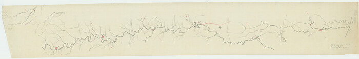
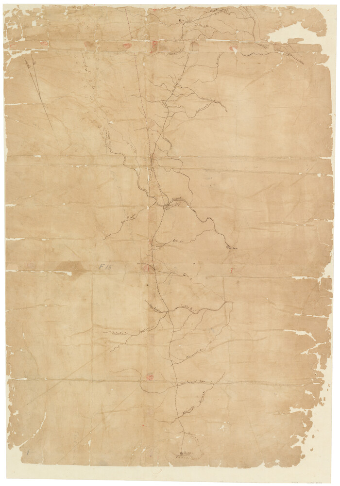
[Traverse up the Brazos and Colorado River showing distance from county site to county site]
Print $40.00
- Digital $50.00
[Traverse up the Brazos and Colorado River showing distance from county site to county site]
1871
Size: 16.2 x 98.8 inches
2054
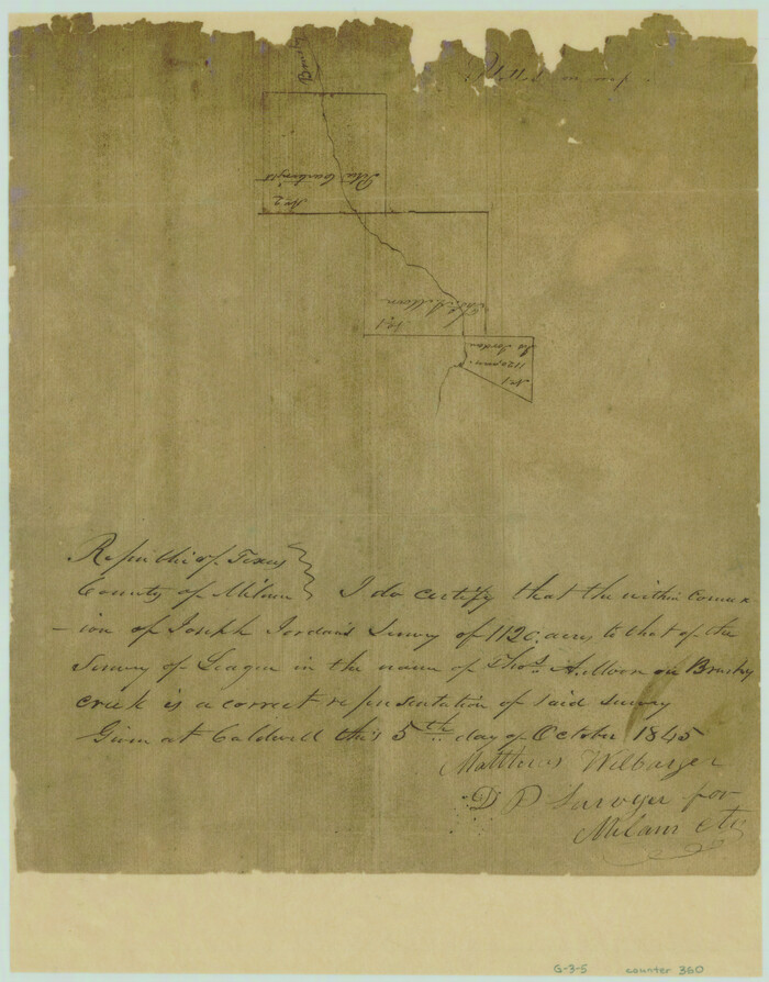
[Surveys near Brushy Creek]
Print $2.00
- Digital $50.00
[Surveys near Brushy Creek]
1845
Size: 10.0 x 7.9 inches
360
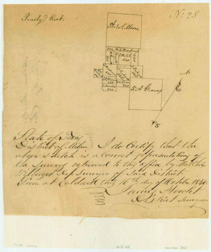
[Surveys near Brushy Creek]
Print $2.00
- Digital $50.00
[Surveys near Brushy Creek]
1846
Size: 9.1 x 7.7 inches
361
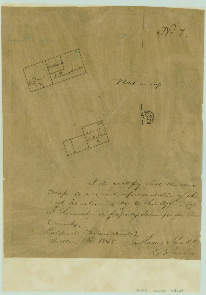
[Surveys in the Milam District]
Print $2.00
- Digital $50.00
[Surveys in the Milam District]
1845
Size: 9.5 x 6.7 inches
69729
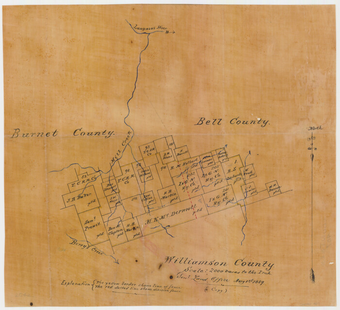
[Surveys in Williamson County]
Print $2.00
- Digital $50.00
[Surveys in Williamson County]
1846
Size: 9.2 x 11.8 inches
78374
[Surveys in Williamson County]
Print $2.00
- Digital $50.00
[Surveys in Williamson County]
1847
Size: 12.6 x 8.3 inches
78376
[Surveys along the San Gabriel River]
Print $2.00
- Digital $50.00
[Surveys along the San Gabriel River]
Size: 9.0 x 6.3 inches
78375
[Surveys along the Salado and Lampasas Rivers and Saltillo Creek]
Print $2.00
- Digital $50.00
[Surveys along the Salado and Lampasas Rivers and Saltillo Creek]
1845
Size: 13.1 x 7.8 inches
362
[Surveys along the Salado and Lampasas Rivers and Saltillo Creek]
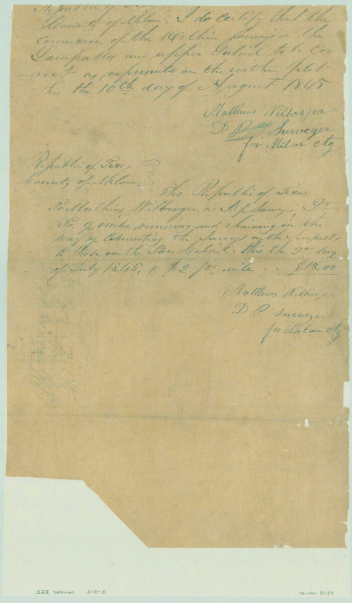
Print $2.00
- Digital $50.00
[Surveys along the Salado and Lampasas Rivers and Saltillo Creek]
1845
Size: 13.1 x 7.7 inches
82159
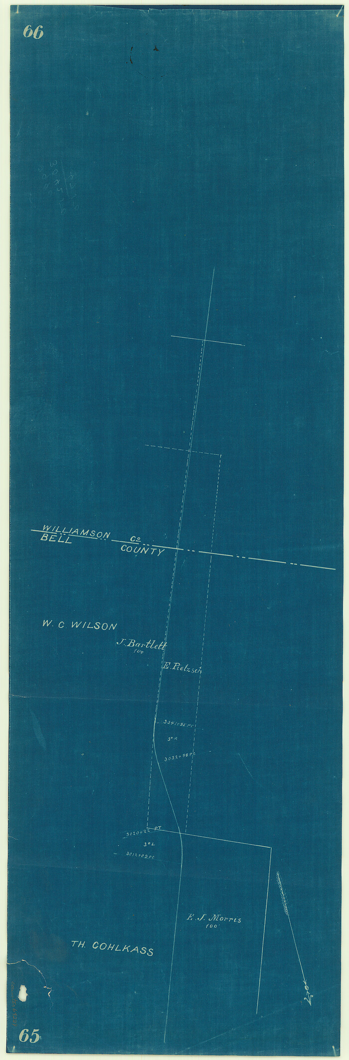
[Surveying sketch of M.K. McDermott, T. C. R.R. Co., I. & G. N. Ry. Co., et al in Williamson County]
Print $3.00
- Digital $50.00
[Surveying sketch of M.K. McDermott, T. C. R.R. Co., I. & G. N. Ry. Co., et al in Williamson County]
1889
Size: 11.5 x 12.6 inches
407
[Sketch of Col. Cooke's Military Road expedition from Red River to Austin]
Print $20.00
- Digital $50.00
[Sketch of Col. Cooke's Military Road expedition from Red River to Austin]
Size: 33.4 x 23.4 inches
82146
[Right of Way Map, Belton Branch of the M.K.&T. RR.]
Print $20.00
- Digital $50.00
[Right of Way Map, Belton Branch of the M.K.&T. RR.]
1896
Size: 22.1 x 7.3 inches
64229
[Map of the dividing line between Milam and Travis Counties]
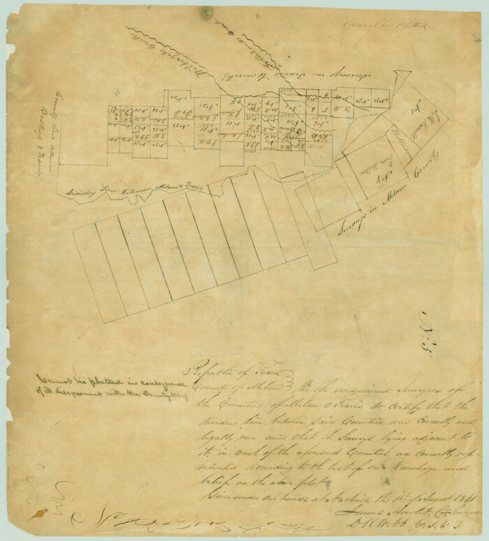
Print $20.00
- Digital $50.00
[Map of the dividing line between Milam and Travis Counties]
1841
Size: 14.2 x 12.8 inches
110
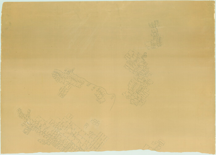
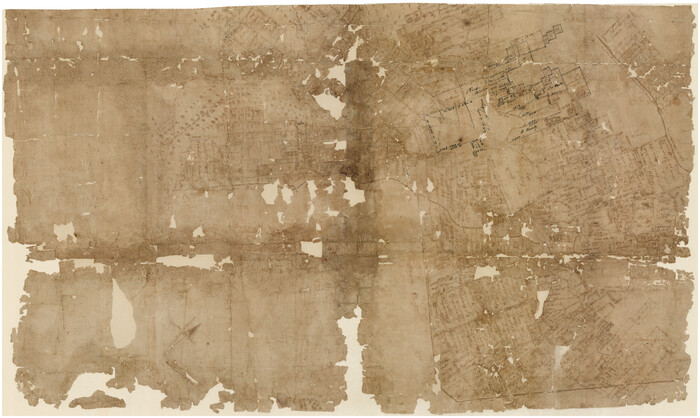
[East half of Travis County]
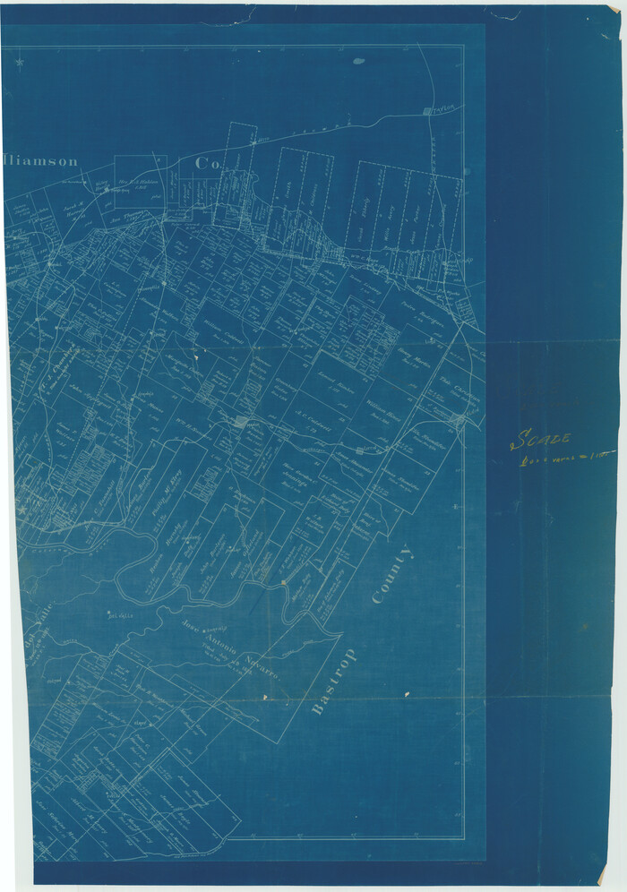
Print $20.00
- Digital $50.00
[East half of Travis County]
Size: 42.5 x 29.8 inches
75802
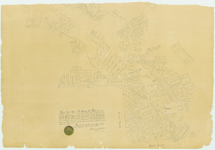
[Bastrop District]
Print $40.00
- Digital $50.00
[Bastrop District]
1838
Size: 67.3 x 44.2 inches
16941
[Bastrop District]
Print $40.00
- Digital $50.00
[Bastrop District]
1895
Size: 36.5 x 52.0 inches
3131
[Bastrop District]
Print $40.00
- Digital $50.00
[Bastrop District]
1895
Size: 37.4 x 51.9 inches
83005
[Bastrop District]
Print $40.00
- Digital $50.00
[Bastrop District]
1895
Size: 71.8 x 52.3 inches
83006
[Bastrop District]
Print $20.00
- Digital $50.00
[Bastrop District]
1838
Size: 25.1 x 46.1 inches
83517
[Bastrop District]
Print $20.00
- Digital $50.00
[Bastrop District]
1838
Size: 19.5 x 44.2 inches
83518
[Bastrop District]
Print $20.00
- Digital $50.00
[Bastrop District]
1838
Size: 26.5 x 44.2 inches
83519
Williamson County Working Sketch Graphic Index

Print $40.00
- Digital $50.00
Williamson County Working Sketch Graphic Index
1946
Size: 38.4 x 55.7 inches
76742
Williamson County Working Sketch 9

Print $20.00
- Digital $50.00
Williamson County Working Sketch 9
1954
Size: 31.2 x 30.0 inches
72569
Williamson County Working Sketch 8

Print $20.00
- Digital $50.00
Williamson County Working Sketch 8
1950
Size: 43.4 x 25.4 inches
72568
Williamson County Working Sketch 7

Print $20.00
- Digital $50.00
Williamson County Working Sketch 7
1949
Size: 30.2 x 37.3 inches
72567
Williamson County Working Sketch 6

Print $20.00
- Digital $50.00
Williamson County Working Sketch 6
1938
Size: 11.2 x 18.6 inches
72566
Williamson County Working Sketch 5

Print $20.00
- Digital $50.00
Williamson County Working Sketch 5
1919
Size: 23.4 x 18.3 inches
72565
Williamson County Working Sketch 4

Print $20.00
- Digital $50.00
Williamson County Working Sketch 4
1919
Size: 23.7 x 19.4 inches
72564
Williamson County Working Sketch 3

Print $20.00
- Digital $50.00
Williamson County Working Sketch 3
1915
Size: 17.9 x 20.2 inches
72563
Williamson County Working Sketch 20

Print $20.00
- Digital $50.00
Williamson County Working Sketch 20
1995
Size: 23.8 x 40.7 inches
72580
[Traverse up the Brazos and Colorado River showing distance from county site to county site]
Print $40.00
- Digital $50.00
[Traverse up the Brazos and Colorado River showing distance from county site to county site]
1871
-
Size
16.2 x 98.8 inches
-
Map/Doc
2054
-
Creation Date
1871
[Surveys near Brushy Creek]
Print $2.00
- Digital $50.00
[Surveys near Brushy Creek]
1845
-
Size
10.0 x 7.9 inches
-
Map/Doc
360
-
Creation Date
1845
[Surveys near Brushy Creek]
Print $2.00
- Digital $50.00
[Surveys near Brushy Creek]
1846
-
Size
9.1 x 7.7 inches
-
Map/Doc
361
-
Creation Date
1846
[Surveys in the Milam District]
Print $2.00
- Digital $50.00
[Surveys in the Milam District]
1845
-
Size
9.5 x 6.7 inches
-
Map/Doc
69729
-
Creation Date
1845
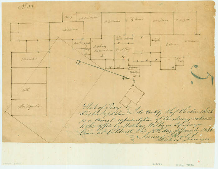
[Surveys in Williamson County]
Print $2.00
- Digital $50.00
[Surveys in Williamson County]
1846
-
Size
9.2 x 11.8 inches
-
Map/Doc
78374
-
Creation Date
1846
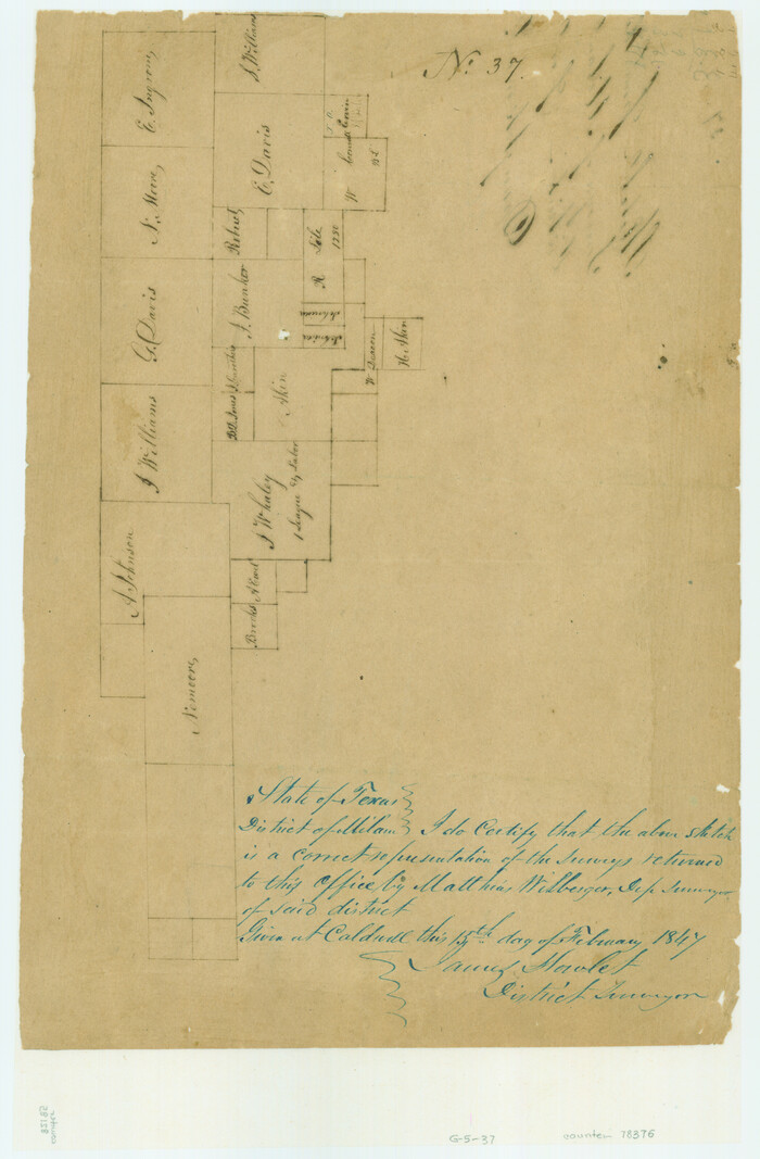
[Surveys in Williamson County]
Print $2.00
- Digital $50.00
[Surveys in Williamson County]
1847
-
Size
12.6 x 8.3 inches
-
Map/Doc
78376
-
Creation Date
1847
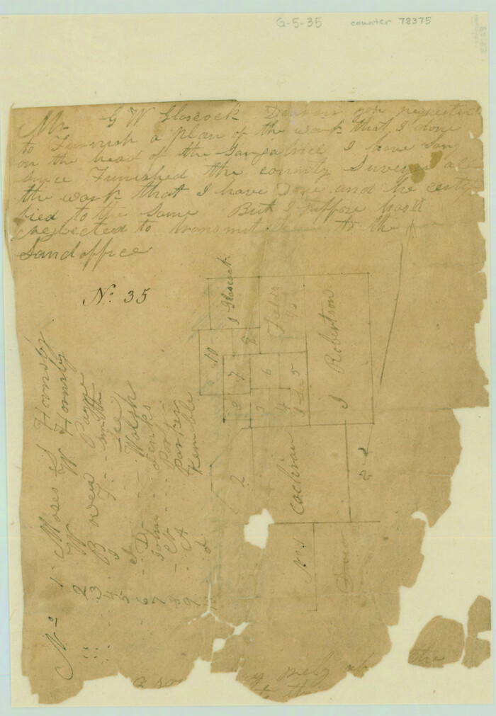
[Surveys along the San Gabriel River]
Print $2.00
- Digital $50.00
[Surveys along the San Gabriel River]
-
Size
9.0 x 6.3 inches
-
Map/Doc
78375
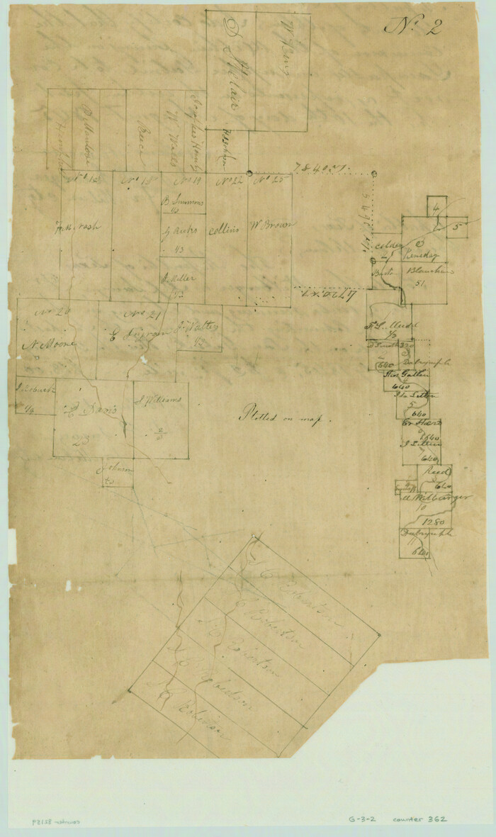
[Surveys along the Salado and Lampasas Rivers and Saltillo Creek]
Print $2.00
- Digital $50.00
[Surveys along the Salado and Lampasas Rivers and Saltillo Creek]
1845
-
Size
13.1 x 7.8 inches
-
Map/Doc
362
-
Creation Date
1845
[Surveys along the Salado and Lampasas Rivers and Saltillo Creek]
Print $2.00
- Digital $50.00
[Surveys along the Salado and Lampasas Rivers and Saltillo Creek]
1845
-
Size
13.1 x 7.7 inches
-
Map/Doc
82159
-
Creation Date
1845
[Surveying sketch of M.K. McDermott, T. C. R.R. Co., I. & G. N. Ry. Co., et al in Williamson County]
Print $3.00
- Digital $50.00
[Surveying sketch of M.K. McDermott, T. C. R.R. Co., I. & G. N. Ry. Co., et al in Williamson County]
1889
-
Size
11.5 x 12.6 inches
-
Map/Doc
407
-
Creation Date
1889
[Sketch of Col. Cooke's Military Road expedition from Red River to Austin]
Print $20.00
- Digital $50.00
[Sketch of Col. Cooke's Military Road expedition from Red River to Austin]
-
Size
33.4 x 23.4 inches
-
Map/Doc
82146
[Right of Way Map, Belton Branch of the M.K.&T. RR.]
Print $20.00
- Digital $50.00
[Right of Way Map, Belton Branch of the M.K.&T. RR.]
1896
-
Size
22.1 x 7.3 inches
-
Map/Doc
64229
-
Creation Date
1896
[Map of the dividing line between Milam and Travis Counties]
Print $20.00
- Digital $50.00
[Map of the dividing line between Milam and Travis Counties]
1841
-
Size
14.2 x 12.8 inches
-
Map/Doc
110
-
Creation Date
1841
[East half of Travis County]
Print $20.00
- Digital $50.00
[East half of Travis County]
-
Size
42.5 x 29.8 inches
-
Map/Doc
75802
[Bastrop District]
Print $40.00
- Digital $50.00
[Bastrop District]
1838
-
Size
67.3 x 44.2 inches
-
Map/Doc
16941
-
Creation Date
1838
[Bastrop District]
Print $40.00
- Digital $50.00
[Bastrop District]
1895
-
Size
36.5 x 52.0 inches
-
Map/Doc
3131
-
Creation Date
1895
[Bastrop District]
Print $40.00
- Digital $50.00
[Bastrop District]
1895
-
Size
37.4 x 51.9 inches
-
Map/Doc
83005
-
Creation Date
1895
[Bastrop District]
Print $40.00
- Digital $50.00
[Bastrop District]
1895
-
Size
71.8 x 52.3 inches
-
Map/Doc
83006
-
Creation Date
1895
[Bastrop District]
Print $20.00
- Digital $50.00
[Bastrop District]
1838
-
Size
25.1 x 46.1 inches
-
Map/Doc
83517
-
Creation Date
1838
[Bastrop District]
Print $20.00
- Digital $50.00
[Bastrop District]
1838
-
Size
19.5 x 44.2 inches
-
Map/Doc
83518
-
Creation Date
1838
[Bastrop District]
Print $20.00
- Digital $50.00
[Bastrop District]
1838
-
Size
26.5 x 44.2 inches
-
Map/Doc
83519
-
Creation Date
1838
Williamson County Working Sketch Graphic Index
Print $40.00
- Digital $50.00
Williamson County Working Sketch Graphic Index
1946
-
Size
38.4 x 55.7 inches
-
Map/Doc
76742
-
Creation Date
1946
Williamson County Working Sketch 9
Print $20.00
- Digital $50.00
Williamson County Working Sketch 9
1954
-
Size
31.2 x 30.0 inches
-
Map/Doc
72569
-
Creation Date
1954
Williamson County Working Sketch 8
Print $20.00
- Digital $50.00
Williamson County Working Sketch 8
1950
-
Size
43.4 x 25.4 inches
-
Map/Doc
72568
-
Creation Date
1950
Williamson County Working Sketch 7
Print $20.00
- Digital $50.00
Williamson County Working Sketch 7
1949
-
Size
30.2 x 37.3 inches
-
Map/Doc
72567
-
Creation Date
1949
Williamson County Working Sketch 6
Print $20.00
- Digital $50.00
Williamson County Working Sketch 6
1938
-
Size
11.2 x 18.6 inches
-
Map/Doc
72566
-
Creation Date
1938
Williamson County Working Sketch 5
Print $20.00
- Digital $50.00
Williamson County Working Sketch 5
1919
-
Size
23.4 x 18.3 inches
-
Map/Doc
72565
-
Creation Date
1919
Williamson County Working Sketch 4
Print $20.00
- Digital $50.00
Williamson County Working Sketch 4
1919
-
Size
23.7 x 19.4 inches
-
Map/Doc
72564
-
Creation Date
1919
Williamson County Working Sketch 3
Print $20.00
- Digital $50.00
Williamson County Working Sketch 3
1915
-
Size
17.9 x 20.2 inches
-
Map/Doc
72563
-
Creation Date
1915
Williamson County Working Sketch 20
Print $20.00
- Digital $50.00
Williamson County Working Sketch 20
1995
-
Size
23.8 x 40.7 inches
-
Map/Doc
72580
-
Creation Date
1995