[Surveys along the Salado and Lampasas Rivers and Saltillo Creek]
Atlas G, Page 3, Sketch 2 (G-3-2)
G-3-2
-
Map/Doc
362
-
Collection
General Map Collection
-
Object Dates
1845 (Creation Date)
-
People and Organizations
Matthias Wilbarger (Surveyor/Engineer)
-
Counties
Williamson Bell
-
Subjects
Atlas
-
Height x Width
13.1 x 7.8 inches
33.3 x 19.8 cm
-
Medium
paper, manuscript
-
Comments
Conserved in 2003.
Part of: General Map Collection
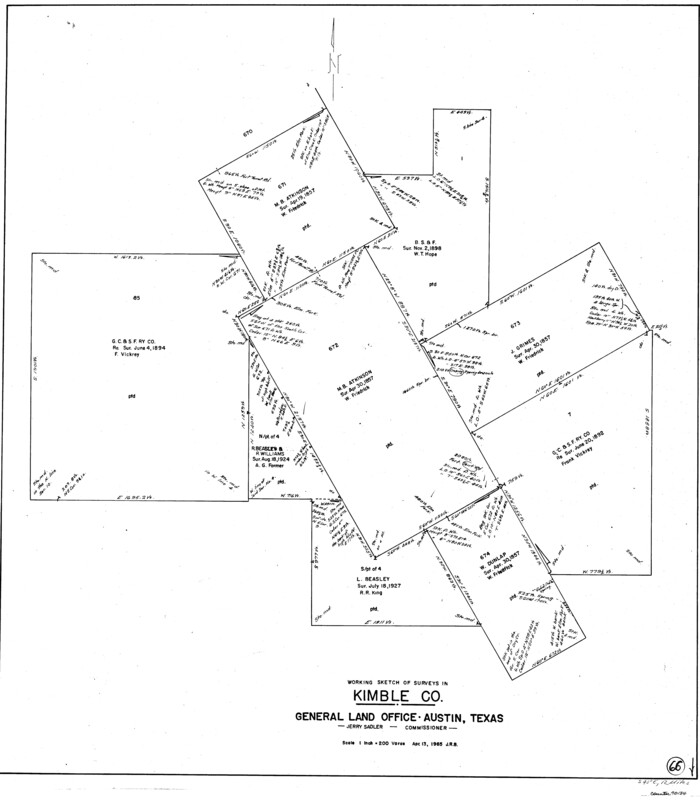
Kimble County Working Sketch 66

Print $20.00
- Digital $50.00
Kimble County Working Sketch 66
1965
Size 31.1 x 27.2 inches
Map/Doc 70134
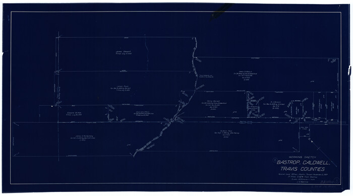
Bastrop County Working Sketch 8

Print $20.00
- Digital $50.00
Bastrop County Working Sketch 8
1937
Size 23.9 x 43.1 inches
Map/Doc 67308
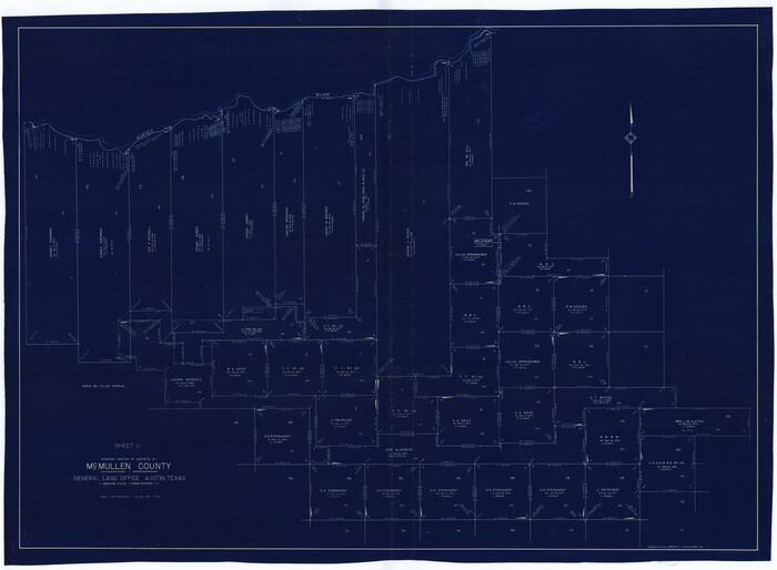
McMullen County Working Sketch 22

Print $40.00
- Digital $50.00
McMullen County Working Sketch 22
1947
Size 39.1 x 53.3 inches
Map/Doc 70723
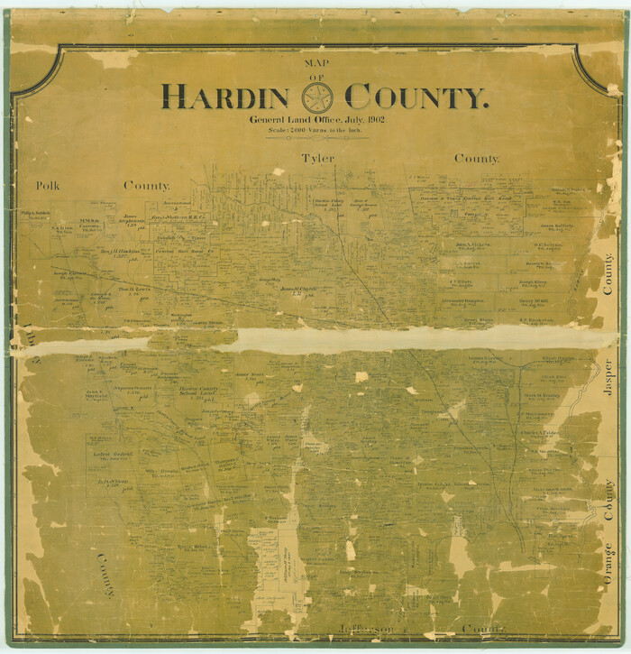
Map of Hardin County

Print $20.00
- Digital $50.00
Map of Hardin County
1902
Size 43.8 x 42.3 inches
Map/Doc 4699
Wise County Working Sketch 31


Print $20.00
- Digital $50.00
Wise County Working Sketch 31
2009
Size 27.9 x 37.5 inches
Map/Doc 89985
Brown County Sketch File 27


Print $4.00
- Digital $50.00
Brown County Sketch File 27
1868
Size 13.3 x 8.1 inches
Map/Doc 16624
Presidio County Working Sketch 105


Print $20.00
- Digital $50.00
Presidio County Working Sketch 105
1980
Size 27.5 x 27.5 inches
Map/Doc 71782
Burnet County Sketch File 17
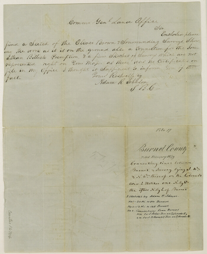

Print $6.00
- Digital $50.00
Burnet County Sketch File 17
Size 12.4 x 10.1 inches
Map/Doc 16706
Kent County Boundary File 3


Print $8.00
- Digital $50.00
Kent County Boundary File 3
Size 11.2 x 8.6 inches
Map/Doc 55824
[Right of Way Map, Belton Branch of the M.K.&T. RR.]
![64224, [Right of Way Map, Belton Branch of the M.K.&T. RR.], General Map Collection](https://historictexasmaps.com/wmedia_w700/maps/64224.tif.jpg)
![64224, [Right of Way Map, Belton Branch of the M.K.&T. RR.], General Map Collection](https://historictexasmaps.com/wmedia_w700/maps/64224.tif.jpg)
Print $20.00
- Digital $50.00
[Right of Way Map, Belton Branch of the M.K.&T. RR.]
1896
Size 7.1 x 20.6 inches
Map/Doc 64224
Angelina County Sketch File 18

Print $4.00
- Digital $50.00
Angelina County Sketch File 18
Size 8.6 x 3.9 inches
Map/Doc 13028
Lavaca County Sketch File 20
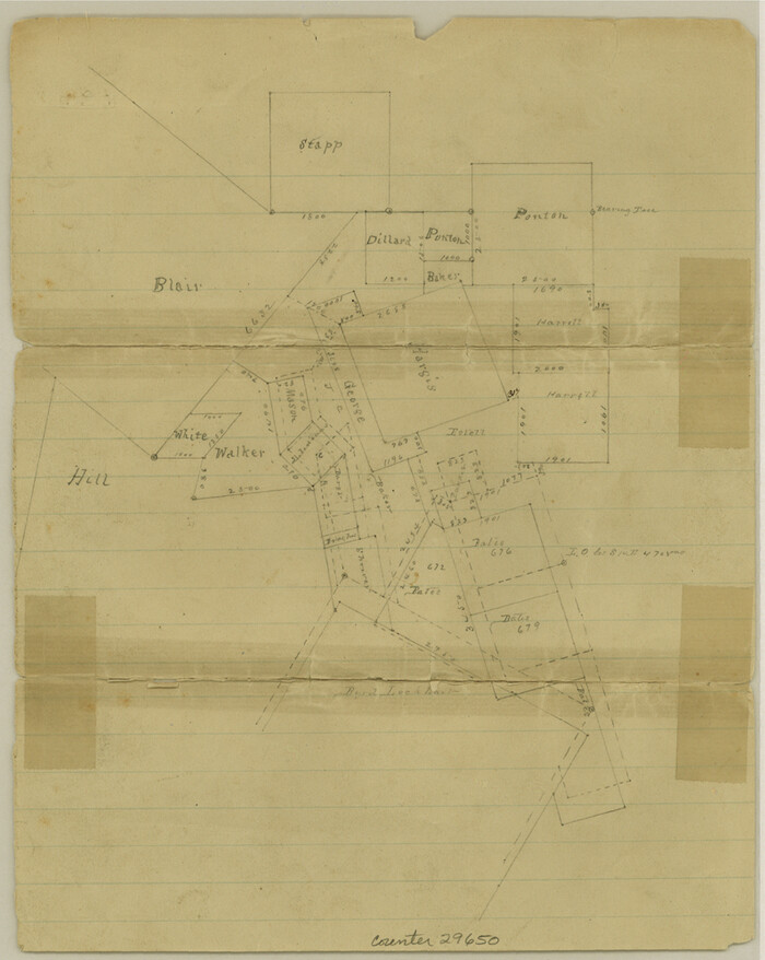

Print $8.00
- Digital $50.00
Lavaca County Sketch File 20
Size 10.0 x 8.0 inches
Map/Doc 29650
You may also like
Smith County Rolled Sketch 6A1


Print $40.00
- Digital $50.00
Smith County Rolled Sketch 6A1
Size 49.2 x 38.6 inches
Map/Doc 10704
Shelby County Working Sketch 35
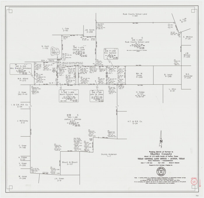

Print $20.00
- Digital $50.00
Shelby County Working Sketch 35
2010
Size 27.4 x 28.3 inches
Map/Doc 89285
Working Sketch Carson County
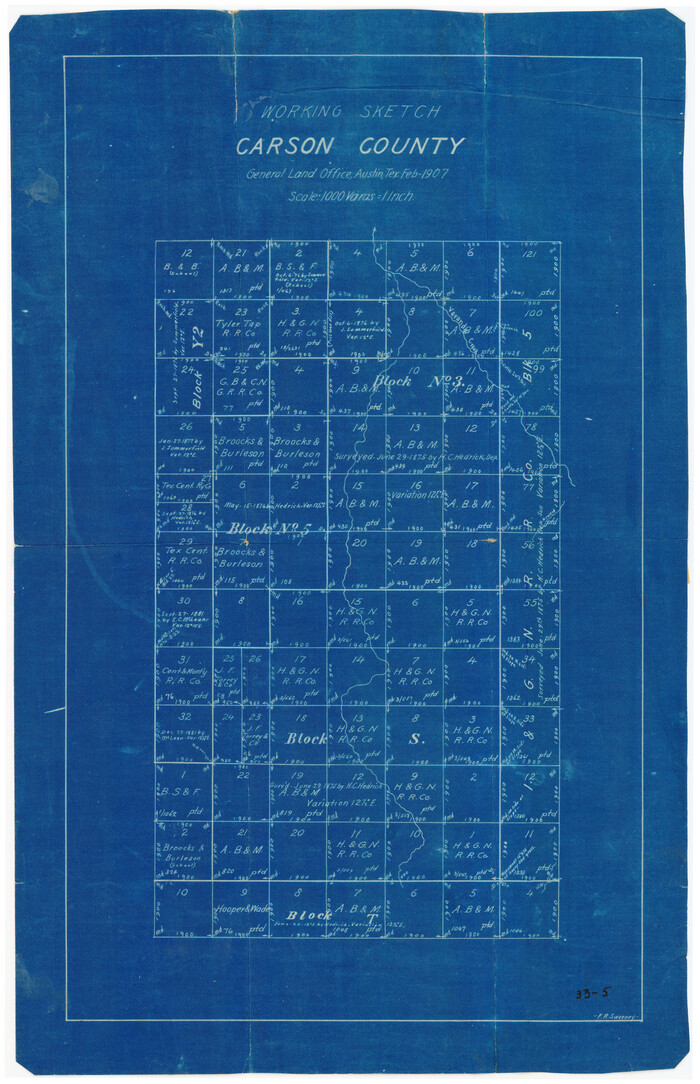

Print $3.00
- Digital $50.00
Working Sketch Carson County
1907
Size 11.6 x 17.8 inches
Map/Doc 90224
Sketch Showing all that Portion of Block 24 North of Santa Fe R. R. Right-of-Way in Original Town of Lubbock


Print $20.00
- Digital $50.00
Sketch Showing all that Portion of Block 24 North of Santa Fe R. R. Right-of-Way in Original Town of Lubbock
1925
Size 27.5 x 35.6 inches
Map/Doc 92810
Honey Grove, Tex., Fannin County, 1886


Print $20.00
Honey Grove, Tex., Fannin County, 1886
1886
Size 15.9 x 22.2 inches
Map/Doc 89091
Duval County Rolled Sketch 30
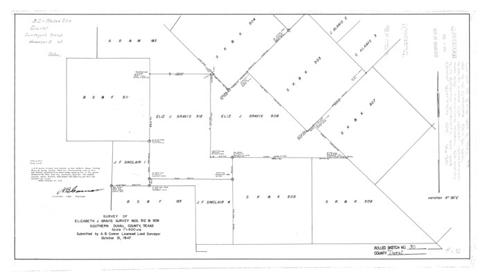

Print $20.00
- Digital $50.00
Duval County Rolled Sketch 30
1947
Size 15.8 x 27.8 inches
Map/Doc 5747
Angelina County Sketch File 15e
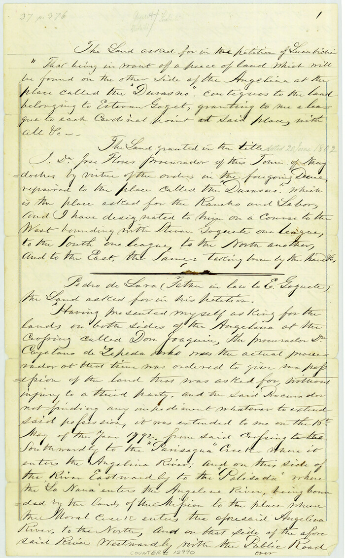

Print $8.00
- Digital $50.00
Angelina County Sketch File 15e
Size 14.1 x 8.7 inches
Map/Doc 12990
Zavala County Working Sketch 21
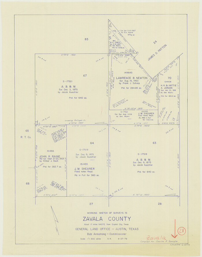

Print $20.00
- Digital $50.00
Zavala County Working Sketch 21
1979
Size 23.0 x 18.0 inches
Map/Doc 62096
Clay County Boundary File 2
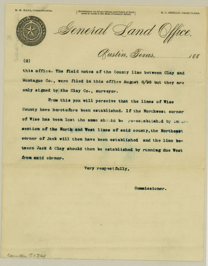

Print $6.00
- Digital $50.00
Clay County Boundary File 2
Size 10.5 x 8.2 inches
Map/Doc 51361
Presidio County Rolled Sketch T-5
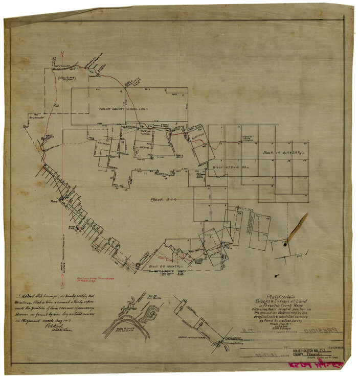

Print $20.00
- Digital $50.00
Presidio County Rolled Sketch T-5
1917
Size 21.2 x 20.4 inches
Map/Doc 7419
Fractional Township No. 7 South Range No. 1 East of the Indian Meridian, Indian Territory
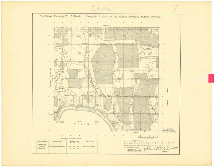

Print $20.00
- Digital $50.00
Fractional Township No. 7 South Range No. 1 East of the Indian Meridian, Indian Territory
1898
Size 19.2 x 24.6 inches
Map/Doc 75199
![362, [Surveys along the Salado and Lampasas Rivers and Saltillo Creek], General Map Collection](https://historictexasmaps.com/wmedia_w1800h1800/maps/362.tif.jpg)
![94161, Austin and Vicinity [Verso], General Map Collection](https://historictexasmaps.com/wmedia_w700/maps/94161.tif.jpg)