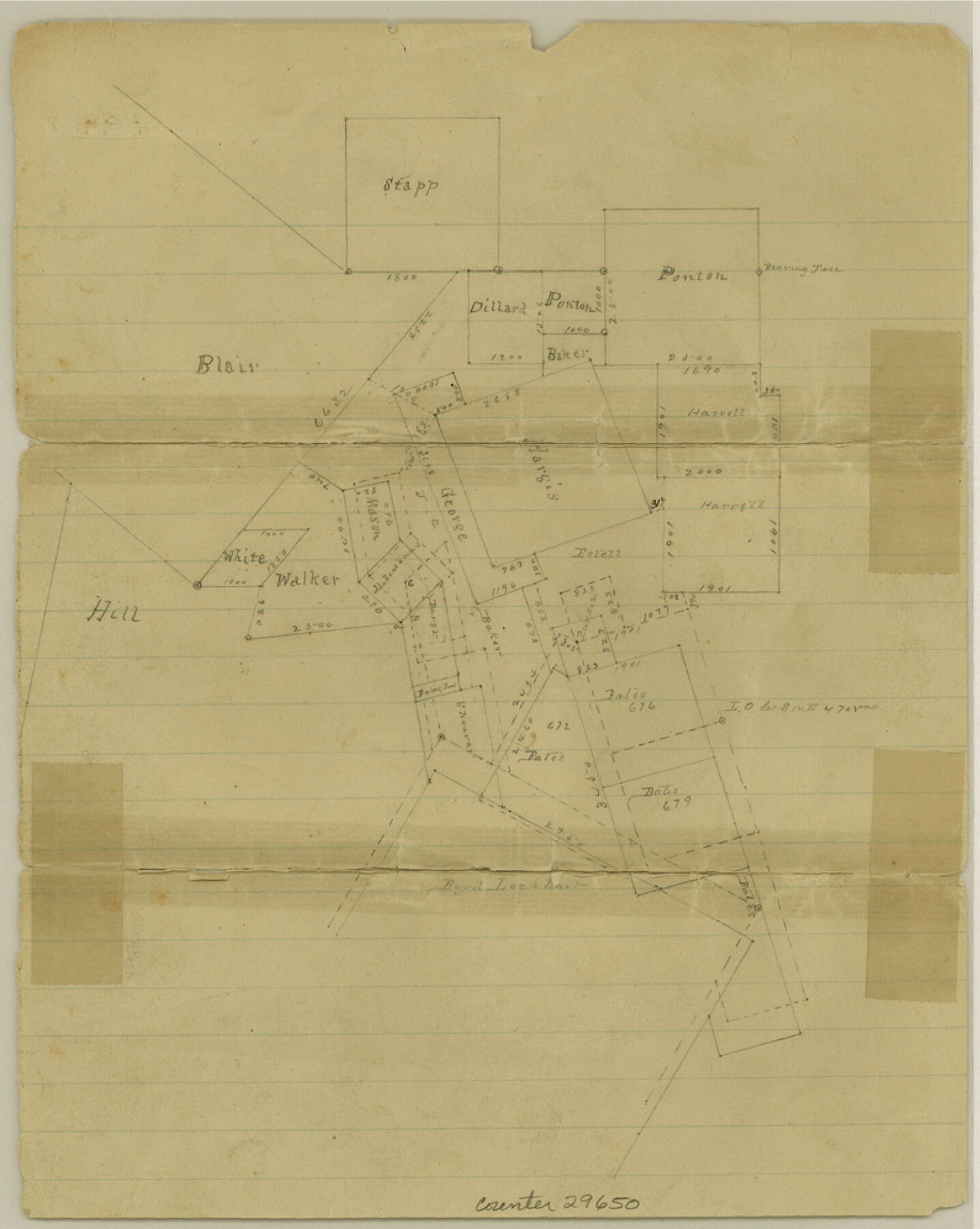
Lavaca County Sketch File 20
[Sketches surrounding the Wm. K. Hargis survey]
-
Map/Doc
29650
-
Collection
General Map Collection
-
People and Organizations
Pressler (Surveyor/Engineer)
-
Counties
Lavaca Gonzales
-
Subjects
Surveying Sketch File
-
Height x Width
10.0 x 8.0 inches
25.4 x 20.3 cm
-
Medium
paper, manuscript
Part of: General Map Collection
Stieler Map of 1879

Print $4.00
- Digital $50.00
Stieler Map of 1879
1879
Size 28.9 x 23.1 inches
Map/Doc 76054
Crane County Working Sketch 17

Print $40.00
- Digital $50.00
Crane County Working Sketch 17
1957
Size 121.8 x 50.0 inches
Map/Doc 68294
Trinity County Sketch File 8

Print $6.00
- Digital $50.00
Trinity County Sketch File 8
1859
Size 12.8 x 7.9 inches
Map/Doc 38513
Pecos County Working Sketch 131

Print $20.00
- Digital $50.00
Pecos County Working Sketch 131
1977
Size 27.8 x 21.1 inches
Map/Doc 71605
Harris County

Print $20.00
- Digital $50.00
Harris County
1940
Size 36.8 x 45.2 inches
Map/Doc 77304
Calhoun County NRC Article 33.136 Sketch 15

Print $46.00
Calhoun County NRC Article 33.136 Sketch 15
2025
Map/Doc 97428
State Highway System of Texas Showing Condition of Improvement

Print $20.00
- Digital $50.00
State Highway System of Texas Showing Condition of Improvement
1928
Size 24.3 x 36.4 inches
Map/Doc 93719
Foard County Working Sketch 8

Print $40.00
- Digital $50.00
Foard County Working Sketch 8
1975
Size 57.0 x 40.0 inches
Map/Doc 69199
Outer Continental Shelf Leasing Maps (Texas Offshore Operations)

Print $20.00
- Digital $50.00
Outer Continental Shelf Leasing Maps (Texas Offshore Operations)
1954
Size 14.7 x 14.2 inches
Map/Doc 75834
Refugio County Working Sketch 9

Print $20.00
- Digital $50.00
Refugio County Working Sketch 9
1941
Size 38.6 x 28.3 inches
Map/Doc 63518
Pecos County Rolled Sketch DK3

Print $20.00
- Digital $50.00
Pecos County Rolled Sketch DK3
1938
Size 35.3 x 42.3 inches
Map/Doc 9715
Dimmit County Working Sketch 26

Print $20.00
- Digital $50.00
Dimmit County Working Sketch 26
1956
Size 19.3 x 15.9 inches
Map/Doc 68687
You may also like
Flight Mission No. DQO-7K, Frame 104, Galveston County

Print $20.00
- Digital $50.00
Flight Mission No. DQO-7K, Frame 104, Galveston County
1952
Size 18.7 x 22.4 inches
Map/Doc 85119
Edwards County Working Sketch 71

Print $20.00
- Digital $50.00
Edwards County Working Sketch 71
1957
Size 17.4 x 23.8 inches
Map/Doc 68947
Cherokee County Boundary File 2

Print $11.00
- Digital $50.00
Cherokee County Boundary File 2
Size 16.1 x 9.9 inches
Map/Doc 51280
Supreme Court of the United States, October Term, 1924, No. 13, Original - The State of Oklahoma, Complainant vs. The State of Texas, Defendant, The United States, Intervener

Print $20.00
- Digital $50.00
Supreme Court of the United States, October Term, 1924, No. 13, Original - The State of Oklahoma, Complainant vs. The State of Texas, Defendant, The United States, Intervener
1924
Size 18.6 x 33.7 inches
Map/Doc 75118
[H. & G. N. Block 1]
![90940, [H. & G. N. Block 1], Twichell Survey Records](https://historictexasmaps.com/wmedia_w700/maps/90940-1.tif.jpg)
Print $20.00
- Digital $50.00
[H. & G. N. Block 1]
1873
Size 17.3 x 14.2 inches
Map/Doc 90940
Temple Morrow Irrigated Farm South Half of Section 1, Block D6

Print $3.00
- Digital $50.00
Temple Morrow Irrigated Farm South Half of Section 1, Block D6
Size 9.5 x 12.8 inches
Map/Doc 92311
Castro County Sketch File 4j

Print $4.00
- Digital $50.00
Castro County Sketch File 4j
Size 13.5 x 8.7 inches
Map/Doc 17483
Lampasas County Boundary File 4

Print $44.00
- Digital $50.00
Lampasas County Boundary File 4
Size 14.0 x 8.5 inches
Map/Doc 56110
Map of Burleson County

Print $20.00
- Digital $50.00
Map of Burleson County
1867
Size 19.1 x 30.0 inches
Map/Doc 4511
[Leagues 615 ,616, and 242]
![91064, [Leagues 615 ,616, and 242], Twichell Survey Records](https://historictexasmaps.com/wmedia_w700/maps/91064-1.tif.jpg)
Print $20.00
- Digital $50.00
[Leagues 615 ,616, and 242]
Size 12.9 x 13.5 inches
Map/Doc 91064
[Surveys in Power and Hewetson's Colony along the Blanco and Medina Rivers]
![46, [Surveys in Power and Hewetson's Colony along the Blanco and Medina Rivers], General Map Collection](https://historictexasmaps.com/wmedia_w700/maps/46.tif.jpg)
Print $20.00
- Digital $50.00
[Surveys in Power and Hewetson's Colony along the Blanco and Medina Rivers]
1834
Size 37.0 x 29.9 inches
Map/Doc 46
Schleicher County Sketch File 41

Print $6.00
- Digital $50.00
Schleicher County Sketch File 41
1963
Size 16.2 x 9.9 inches
Map/Doc 36544