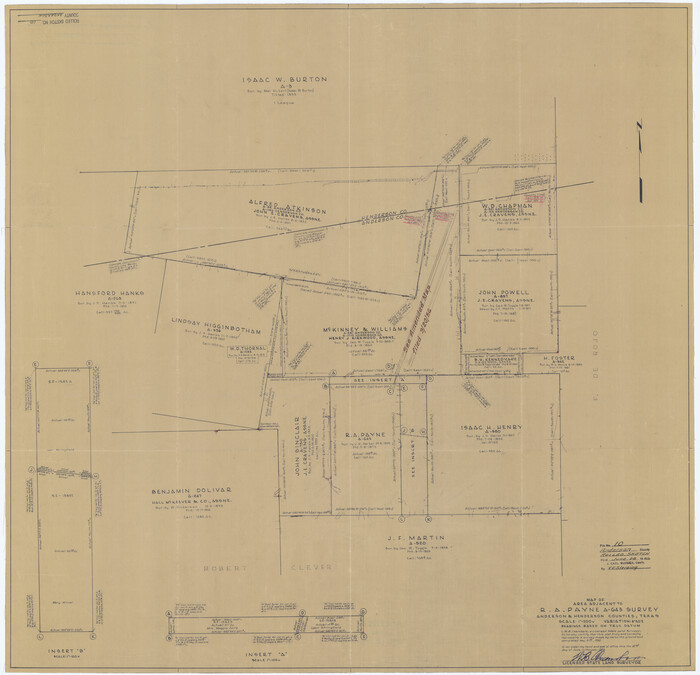
Anderson County Rolled Sketch 10
1956

Anderson County Rolled Sketch 11
1956
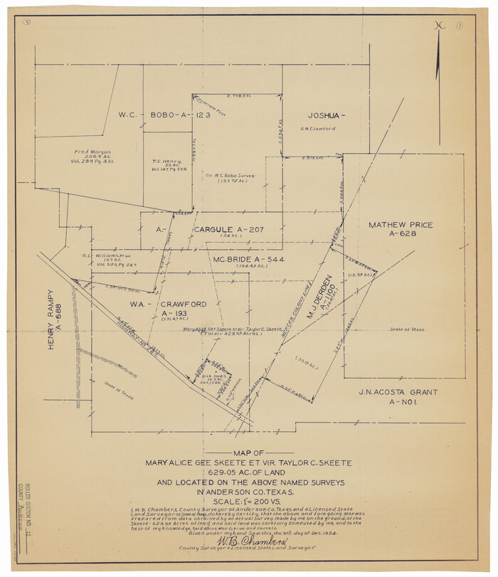
Anderson County Rolled Sketch 12
1954
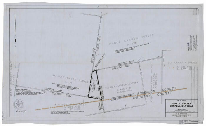
Anderson County Rolled Sketch 13
1964

Anderson County Rolled Sketch 14
1997

Anderson County Rolled Sketch 15
2002

Anderson County Rolled Sketch 6

Anderson County Rolled Sketch 7
1941
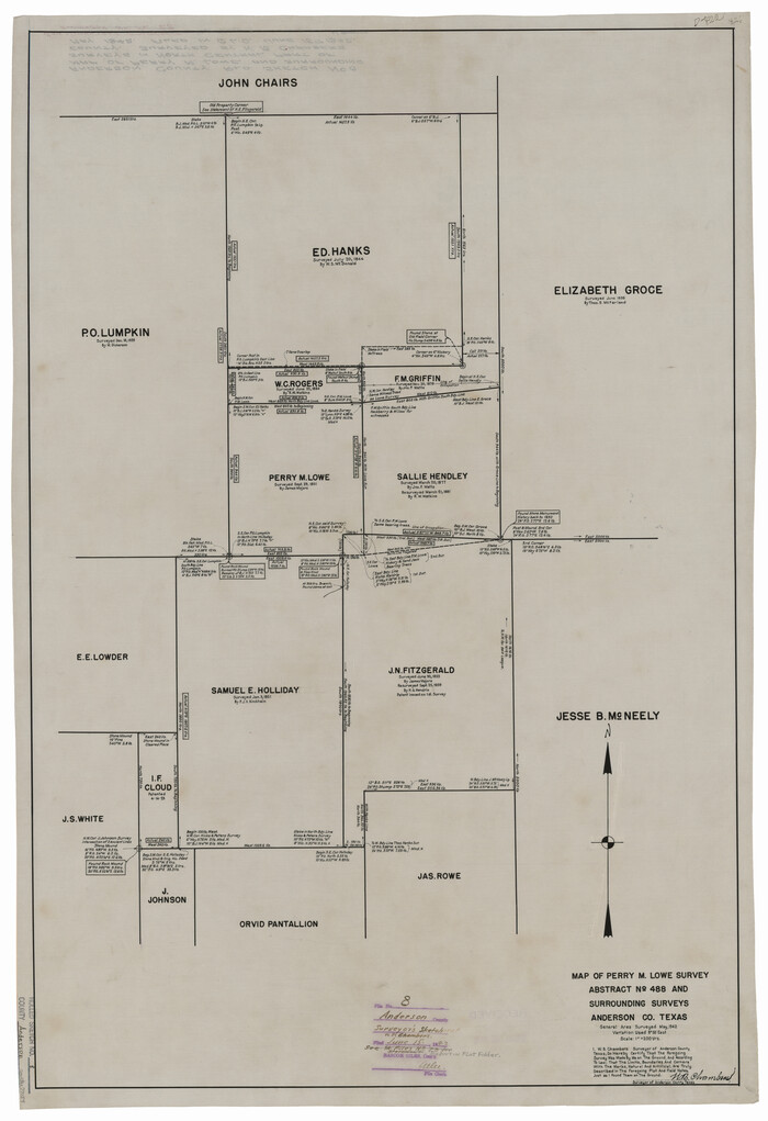
Anderson County Rolled Sketch 8

Anderson County Rolled Sketch 9
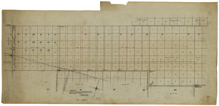
Andrews County Rolled Sketch 10
1931

Andrews County Rolled Sketch 11
1933
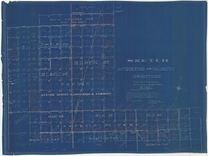
Andrews County Rolled Sketch 11A
1933

Andrews County Rolled Sketch 12
1933

Andrews County Rolled Sketch 12B
1933

Andrews County Rolled Sketch 13
1934
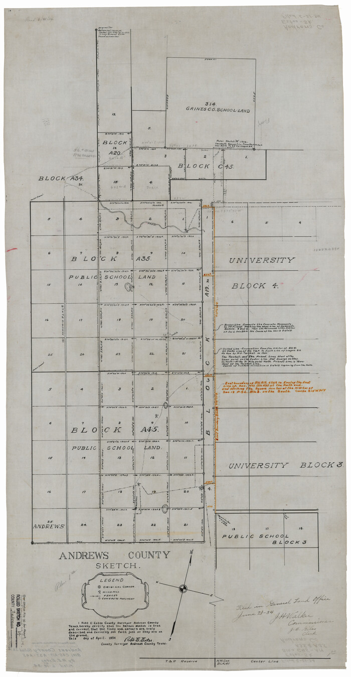
Andrews County Rolled Sketch 14
1934

Andrews County Rolled Sketch 14A
1934

Andrews County Rolled Sketch 15
1934
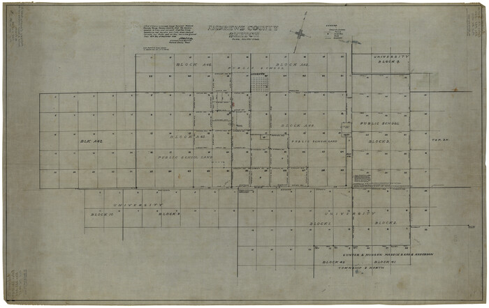
Andrews County Rolled Sketch 17
1934
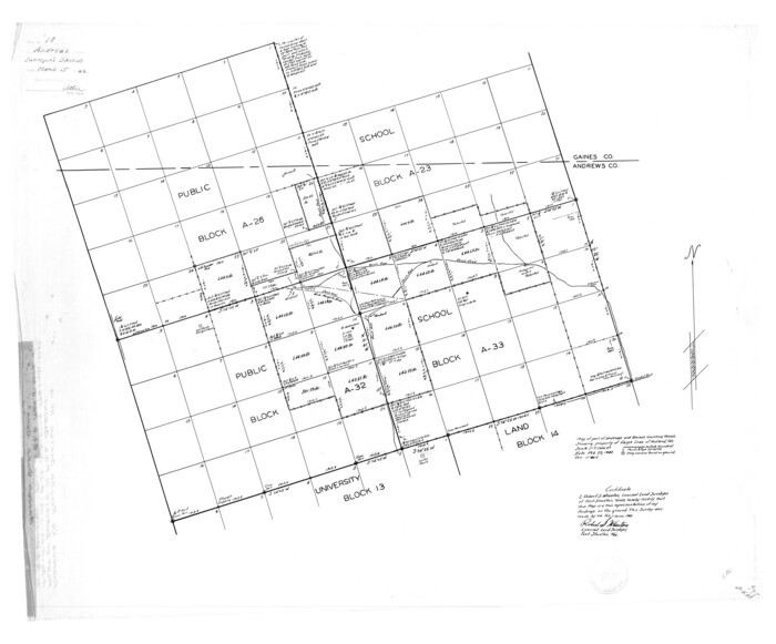
Andrews County Rolled Sketch 18
1942
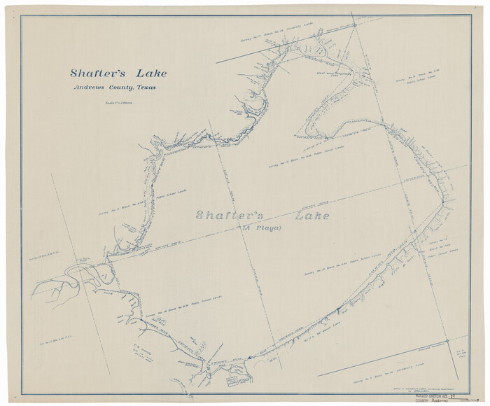
Andrews County Rolled Sketch 19
1945
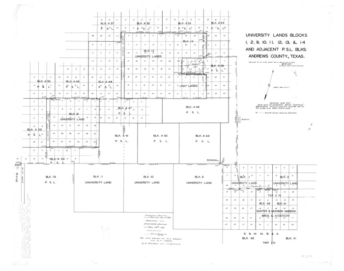
Andrews County Rolled Sketch 20
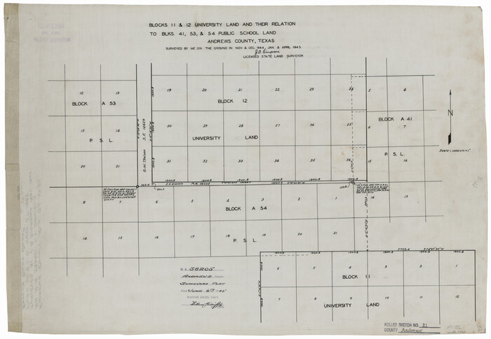
Andrews County Rolled Sketch 21

Andrews County Rolled Sketch 22
1946

Andrews County Rolled Sketch 23
1946
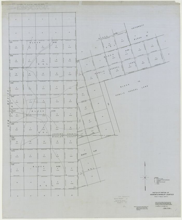
Andrews County Rolled Sketch 24
1946
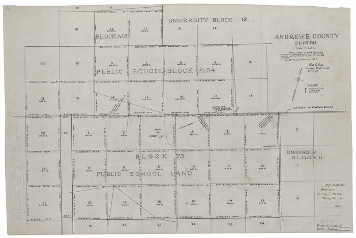
Andrews County Rolled Sketch 25
1947

Andrews County Rolled Sketch 26
1948

Andrews County Rolled Sketch 27
1947

Anderson County Rolled Sketch 10
1956
-
Size
33.4 x 34.6 inches
-
Map/Doc
8365
-
Creation Date
1956

Anderson County Rolled Sketch 11
1956
-
Size
33.4 x 34.4 inches
-
Map/Doc
8366
-
Creation Date
1956

Anderson County Rolled Sketch 12
1954
-
Size
24.6 x 21.3 inches
-
Map/Doc
77157
-
Creation Date
1954

Anderson County Rolled Sketch 13
1964
-
Size
19.8 x 32.2 inches
-
Map/Doc
77158
-
Creation Date
1964

Anderson County Rolled Sketch 14
1997
-
Size
30.1 x 36.5 inches
-
Map/Doc
77159
-
Creation Date
1997

Anderson County Rolled Sketch 15
2002
-
Size
40.0 x 28.3 inches
-
Map/Doc
78315
-
Creation Date
2002

Anderson County Rolled Sketch 6
-
Size
93.3 x 43.5 inches
-
Map/Doc
81901

Anderson County Rolled Sketch 7
1941
-
Size
42.2 x 44.9 inches
-
Map/Doc
8364
-
Creation Date
1941

Anderson County Rolled Sketch 8
-
Size
34.8 x 23.9 inches
-
Map/Doc
77154

Anderson County Rolled Sketch 9
-
Size
34.7 x 23.6 inches
-
Map/Doc
77156

Andrews County Rolled Sketch 10
1931
-
Size
27.2 x 56.1 inches
-
Map/Doc
8389
-
Creation Date
1931

Andrews County Rolled Sketch 11
1933
-
Size
28.0 x 37.7 inches
-
Map/Doc
77161
-
Creation Date
1933

Andrews County Rolled Sketch 11A
1933
-
Size
28.1 x 37.4 inches
-
Map/Doc
77162
-
Creation Date
1933

Andrews County Rolled Sketch 12
1933
-
Size
58.1 x 39.1 inches
-
Map/Doc
8390
-
Creation Date
1933

Andrews County Rolled Sketch 12B
1933
-
Size
39.9 x 37.8 inches
-
Map/Doc
8392
-
Creation Date
1933

Andrews County Rolled Sketch 13
1934
-
Size
38.3 x 26.2 inches
-
Map/Doc
77163
-
Creation Date
1934

Andrews County Rolled Sketch 14
1934
-
Size
37.9 x 19.7 inches
-
Map/Doc
77164
-
Creation Date
1934

Andrews County Rolled Sketch 14A
1934
-
Size
31.2 x 23.6 inches
-
Map/Doc
77165
-
Creation Date
1934

Andrews County Rolled Sketch 15
1934
-
Size
27.9 x 22.4 inches
-
Map/Doc
77166
-
Creation Date
1934

Andrews County Rolled Sketch 17
1934
-
Size
30.9 x 48.9 inches
-
Map/Doc
8393
-
Creation Date
1934

Andrews County Rolled Sketch 18
1942
-
Size
26.0 x 31.3 inches
-
Map/Doc
8394
-
Creation Date
1942

Andrews County Rolled Sketch 19
1945
-
Size
23.3 x 28.1 inches
-
Map/Doc
77167
-
Creation Date
1945

Andrews County Rolled Sketch 20
-
Size
31.6 x 40.0 inches
-
Map/Doc
8395

Andrews County Rolled Sketch 21
-
Size
18.2 x 26.3 inches
-
Map/Doc
77169

Andrews County Rolled Sketch 22
1946
-
Size
26.4 x 24.0 inches
-
Map/Doc
77170
-
Creation Date
1946

Andrews County Rolled Sketch 23
1946
-
Size
78.0 x 13.7 inches
-
Map/Doc
8396
-
Creation Date
1946

Andrews County Rolled Sketch 24
1946
-
Size
43.0 x 35.8 inches
-
Map/Doc
8397
-
Creation Date
1946

Andrews County Rolled Sketch 25
1947
-
Size
21.9 x 32.7 inches
-
Map/Doc
77171
-
Creation Date
1947

Andrews County Rolled Sketch 26
1948
-
Size
78.3 x 13.2 inches
-
Map/Doc
8398
-
Creation Date
1948

Andrews County Rolled Sketch 27
1947
-
Size
19.0 x 118.7 inches
-
Map/Doc
8399
-
Creation Date
1947