General Range of Indigenous Tribes and Language Families in Texas
Late 18th Century
-
Map/Doc
97100
-
Collection
GIS Educational Maps
-
Object Dates
2022 (Creation Date)
-
People and Organizations
Ilysabeth Steinkirchner (Compiler)
Daniel Alonzo (Compiler)
-
Subjects
Geographic Information System
-
Height x Width
8.5 x 11.0 inches
21.6 x 27.9 cm
-
Medium
pdf
-
Comments
See Capitalized: The Many Capitals of Texas and the Ascent of Austin for a StoryMap tracing the history of Texas' capitals.
Part of: GIS Educational Maps
Yellow Fever Deaths in Texas and Louisiana


Yellow Fever Deaths in Texas and Louisiana
2022
Size 8.5 x 11.0 inches
Map/Doc 97094
Contracted Boundaries and Timeline of Mexican Empresario Colonies in Texas


Contracted Boundaries and Timeline of Mexican Empresario Colonies in Texas
2025
Size 17.0 x 11.0 inches
Map/Doc 97439
Events of the Texas Revolution


Events of the Texas Revolution
2023
Size 11.0 x 17.0 inches
Map/Doc 97194
United States Population Distribution by County and Territory, per the U.S. Census of 1890


United States Population Distribution by County and Territory, per the U.S. Census of 1890
2025
Size 8.5 x 11.0 inches
Map/Doc 97480
General Range of Indigenous Tribes and Language Families in Texas


General Range of Indigenous Tribes and Language Families in Texas
2022
Size 8.5 x 11.0 inches
Map/Doc 97100
Republic of Texas and State of Louisiana Boundary


Republic of Texas and State of Louisiana Boundary
2022
Size 8.5 x 11.0 inches
Map/Doc 96979
United States Population Distribution by County and Territory, per the U.S. Census of 1870


United States Population Distribution by County and Territory, per the U.S. Census of 1870
2025
Size 8.5 x 11.0 inches
Map/Doc 97479
Northern Mexico Campaign of the U.S. - Mexico War


Northern Mexico Campaign of the U.S. - Mexico War
2023
Size 8.5 x 11.0 inches
Map/Doc 97152
You may also like
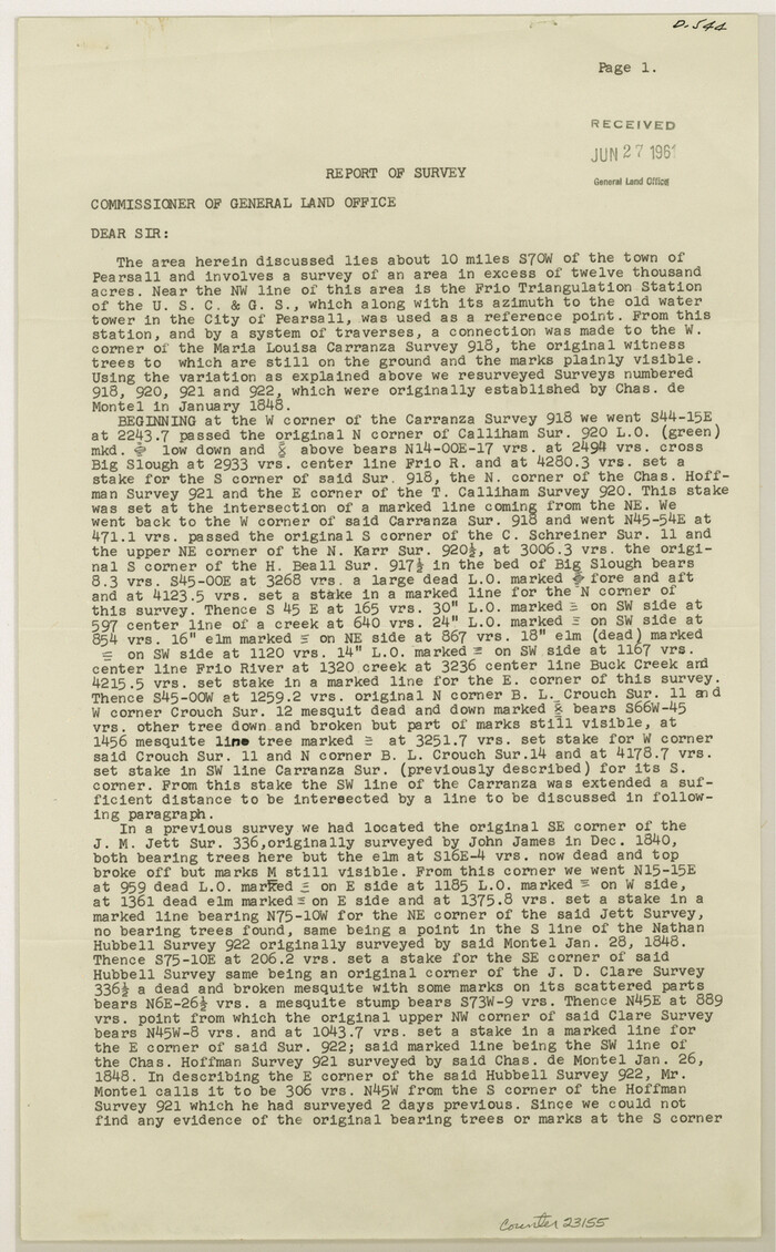
Frio County Sketch File 18


Print $8.00
- Digital $50.00
Frio County Sketch File 18
1961
Size 14.3 x 8.9 inches
Map/Doc 23155
[Galveston, Harrisburg & San Antonio Railroad from Cuero to Stockdale]
![64194, [Galveston, Harrisburg & San Antonio Railroad from Cuero to Stockdale], General Map Collection](https://historictexasmaps.com/wmedia_w700/maps/64194.tif.jpg)
![64194, [Galveston, Harrisburg & San Antonio Railroad from Cuero to Stockdale], General Map Collection](https://historictexasmaps.com/wmedia_w700/maps/64194.tif.jpg)
Print $20.00
- Digital $50.00
[Galveston, Harrisburg & San Antonio Railroad from Cuero to Stockdale]
1907
Size 13.6 x 34.0 inches
Map/Doc 64194
Aransas County Sketch File 15a


Print $14.00
- Digital $50.00
Aransas County Sketch File 15a
Size 11.0 x 8.4 inches
Map/Doc 13136
Uvalde County Sketch File 23A


Print $20.00
- Digital $50.00
Uvalde County Sketch File 23A
1923
Size 18.4 x 23.0 inches
Map/Doc 12535
[Adams Beaty & Moulton Block 2] / Map of Heller's Addition to Canyon City
![92121, [Adams Beaty & Moulton Block 2] / Map of Heller's Addition to Canyon City, Twichell Survey Records](https://historictexasmaps.com/wmedia_w700/maps/92121-1.tif.jpg)
![92121, [Adams Beaty & Moulton Block 2] / Map of Heller's Addition to Canyon City, Twichell Survey Records](https://historictexasmaps.com/wmedia_w700/maps/92121-1.tif.jpg)
Print $20.00
- Digital $50.00
[Adams Beaty & Moulton Block 2] / Map of Heller's Addition to Canyon City
Size 23.1 x 25.2 inches
Map/Doc 92121
[H. & T. C. Blocks 47 1/2 and 50]
![90643, [H. & T. C. Blocks 47 1/2 and 50], Twichell Survey Records](https://historictexasmaps.com/wmedia_w700/maps/90643-1.tif.jpg)
![90643, [H. & T. C. Blocks 47 1/2 and 50], Twichell Survey Records](https://historictexasmaps.com/wmedia_w700/maps/90643-1.tif.jpg)
Print $20.00
- Digital $50.00
[H. & T. C. Blocks 47 1/2 and 50]
Size 35.5 x 16.8 inches
Map/Doc 90643
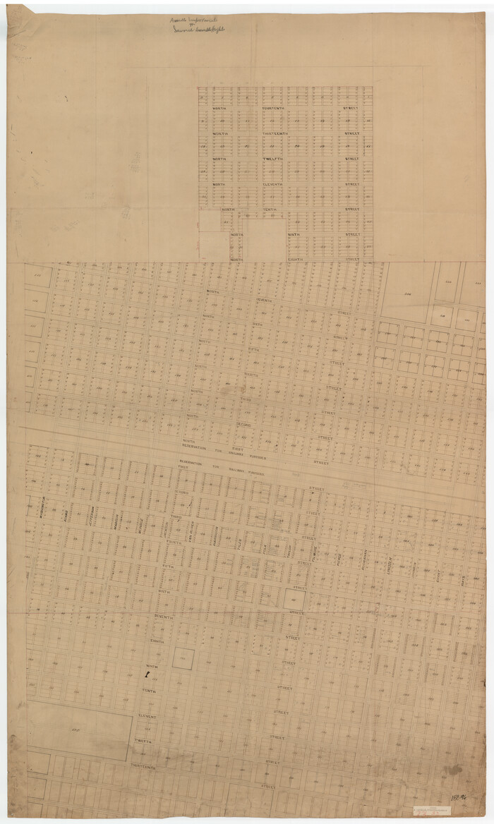
Amarillo Improvements for Sawville-Amarillo Heights


Print $40.00
- Digital $50.00
Amarillo Improvements for Sawville-Amarillo Heights
Size 37.2 x 62.1 inches
Map/Doc 89789
S. M. S. Throckmorton Ranch, Throckmorton, Haskell, Baylor Cos.


Print $20.00
- Digital $50.00
S. M. S. Throckmorton Ranch, Throckmorton, Haskell, Baylor Cos.
1955
Size 33.8 x 45.1 inches
Map/Doc 2104
The Republic County of Austin. January 29, 1842


Print $20.00
The Republic County of Austin. January 29, 1842
2020
Size 14.7 x 21.7 inches
Map/Doc 96086
Fannin County Sketch File 17


Print $22.00
- Digital $50.00
Fannin County Sketch File 17
1874
Size 8.0 x 12.9 inches
Map/Doc 22471
Hardeman County Sketch File 9


Print $20.00
- Digital $50.00
Hardeman County Sketch File 9
1884
Size 27.7 x 30.1 inches
Map/Doc 11624
Preliminary Chart of Entrance to Brazos River, Texas


Print $20.00
- Digital $50.00
Preliminary Chart of Entrance to Brazos River, Texas
1858
Size 18.4 x 19.5 inches
Map/Doc 69973


