Morris County Rolled Sketch 2A
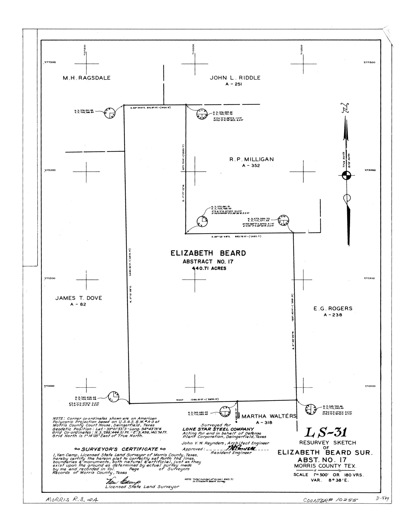
LS-31 - Resurvey sketch of Elizabeth Beard sur., abst. no. 17, Morris County, Tex.
-
Map/Doc
10255
-
Collection
General Map Collection
-
People and Organizations
Van Camp (Surveyor/Engineer)
-
Counties
Morris
-
Subjects
Surveying Rolled Sketch
-
Height x Width
24.3 x 19.2 inches
61.7 x 48.8 cm
-
Medium
linen, manuscript
-
Scale
1" = 180 varas
-
Comments
See Morris County Rolled Sketch 2 (9550) for map of all retracement surveys made for Lone Star Steel Company.
Related maps
Morris County Rolled Sketch 2

Print $40.00
- Digital $50.00
Morris County Rolled Sketch 2
1944
Size 59.4 x 43.5 inches
Map/Doc 9550
Part of: General Map Collection
Jefferson County Aerial Photograph Index Sheet 1

Print $20.00
- Digital $50.00
Jefferson County Aerial Photograph Index Sheet 1
1953
Size 23.3 x 16.8 inches
Map/Doc 83707
Henderson County Working Sketch 31

Print $20.00
- Digital $50.00
Henderson County Working Sketch 31
1962
Size 38.7 x 39.6 inches
Map/Doc 66164
Bell County Working Sketch 4

Print $20.00
- Digital $50.00
Bell County Working Sketch 4
1942
Size 26.9 x 21.0 inches
Map/Doc 67344
Flight Mission No. DAG-19K, Frame 56, Matagorda County

Print $20.00
- Digital $50.00
Flight Mission No. DAG-19K, Frame 56, Matagorda County
1952
Size 18.5 x 22.3 inches
Map/Doc 86383
Mason County Working Sketch 20

Print $20.00
- Digital $50.00
Mason County Working Sketch 20
1946
Size 34.6 x 43.9 inches
Map/Doc 70856
Mills County Sketch File 24

Print $20.00
- Digital $50.00
Mills County Sketch File 24
Size 19.2 x 21.0 inches
Map/Doc 12094
Matagorda Bay and Approaches

Print $20.00
- Digital $50.00
Matagorda Bay and Approaches
1992
Size 36.6 x 44.6 inches
Map/Doc 73390
Kimble County Working Sketch 50

Print $20.00
- Digital $50.00
Kimble County Working Sketch 50
1952
Size 34.8 x 22.1 inches
Map/Doc 70118
Webb County Sketch File VOLP

Print $40.00
- Digital $50.00
Webb County Sketch File VOLP
1937
Size 18.9 x 33.8 inches
Map/Doc 12607
Kinney County Sketch File 40

Print $6.00
Kinney County Sketch File 40
Size 14.0 x 8.5 inches
Map/Doc 97247
Flight Mission No. DIX-10P, Frame 181, Aransas County

Print $20.00
- Digital $50.00
Flight Mission No. DIX-10P, Frame 181, Aransas County
1956
Size 18.5 x 22.2 inches
Map/Doc 83971
Cass County Sketch File 12

Print $4.00
- Digital $50.00
Cass County Sketch File 12
1851
Size 8.2 x 12.3 inches
Map/Doc 17414
You may also like
Travis County Sketch File 58

Print $14.00
- Digital $50.00
Travis County Sketch File 58
1948
Size 11.4 x 8.9 inches
Map/Doc 38406
Flight Mission No. CRC-4R, Frame 154, Chambers County

Print $20.00
- Digital $50.00
Flight Mission No. CRC-4R, Frame 154, Chambers County
1956
Size 18.7 x 22.4 inches
Map/Doc 84917
USGS Topographic, De Kalb NW, Texas Quadrangle

Print $20.00
- Digital $50.00
USGS Topographic, De Kalb NW, Texas Quadrangle
1950
Size 26.8 x 21.6 inches
Map/Doc 77604
Brewster County Rolled Sketch 114

Print $20.00
- Digital $50.00
Brewster County Rolled Sketch 114
1964
Size 23.8 x 18.9 inches
Map/Doc 5268
Culberson County Rolled Sketch 55

Print $20.00
- Digital $50.00
Culberson County Rolled Sketch 55
1971
Size 22.6 x 17.4 inches
Map/Doc 5676
Carte Générale du Royaume de la Nouvelle Espagne depuis le Parallele de 16° jusqu'au Parallele de 38° (Latitude Nord) dressée sur des Observations Astronomiques et sur l'ensemble des Matériaux qui existoient à Mexico, au commencement de l'année 1804

Print $20.00
- Digital $50.00
Carte Générale du Royaume de la Nouvelle Espagne depuis le Parallele de 16° jusqu'au Parallele de 38° (Latitude Nord) dressée sur des Observations Astronomiques et sur l'ensemble des Matériaux qui existoient à Mexico, au commencement de l'année 1804
1809
Size 21.6 x 32.5 inches
Map/Doc 93782
Newton County Sketch File 17

Print $3.00
- Digital $50.00
Newton County Sketch File 17
1884
Size 15.5 x 10.6 inches
Map/Doc 32392
Bandera County Sketch File 25

Print $6.00
- Digital $50.00
Bandera County Sketch File 25
Size 10.6 x 15.9 inches
Map/Doc 10896
Palo Pinto County Boundary File 4

Print $17.00
- Digital $50.00
Palo Pinto County Boundary File 4
Size 9.0 x 8.4 inches
Map/Doc 57811
[Sketch for Mineral Application 15273 - Sabine River Bed]
![65575, [Sketch for Mineral Application 15273 - Sabine River Bed], General Map Collection](https://historictexasmaps.com/wmedia_w700/maps/65575-GC.tif.jpg)
Print $20.00
- Digital $50.00
[Sketch for Mineral Application 15273 - Sabine River Bed]
1926
Size 28.2 x 45.5 inches
Map/Doc 65575
Map of City of Fort Worth, Texas

Print $20.00
- Digital $50.00
Map of City of Fort Worth, Texas
1934
Size 32.9 x 39.2 inches
Map/Doc 4839
Smith County Rolled Sketch 6B

Print $40.00
- Digital $50.00
Smith County Rolled Sketch 6B
1949
Size 91.7 x 38.5 inches
Map/Doc 10700