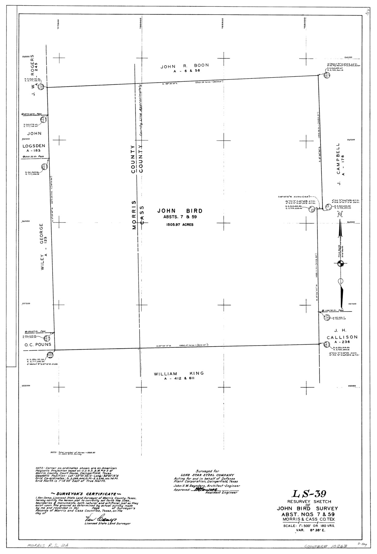
Morris County Rolled Sketch 2A
LS-39 Resurvey sketch of John Bird survey abst. nos. 7 & 59, Morris & Cass Co., Tex.
-
Map/Doc
10263
-
Collection
General Map Collection
-
People and Organizations
Van Camp (Surveyor/Engineer)
-
Counties
Morris Cass
-
Subjects
Surveying Rolled Sketch
-
Height x Width
33.5 x 22.8 inches
85.1 x 57.9 cm
-
Scale
1" = 180 varas
Part of: General Map Collection
Galveston County Working Sketch 9

Print $20.00
- Digital $50.00
Galveston County Working Sketch 9
1948
Size 31.9 x 25.8 inches
Map/Doc 69346
Erath County Working Sketch 50b

Print $20.00
- Digital $50.00
Erath County Working Sketch 50b
Size 43.4 x 25.8 inches
Map/Doc 69132
Wheeler County Sketch File 7

Print $20.00
- Digital $50.00
Wheeler County Sketch File 7
Size 38.1 x 47.7 inches
Map/Doc 10431
Hood County Working Sketch 7

Print $20.00
- Digital $50.00
Hood County Working Sketch 7
1970
Size 29.4 x 31.2 inches
Map/Doc 66201
Harris County Sketch File 82

Print $20.00
- Digital $50.00
Harris County Sketch File 82
Size 19.6 x 25.3 inches
Map/Doc 11670
Limestone County State Real Property Sketch 1

Print $20.00
- Digital $50.00
Limestone County State Real Property Sketch 1
2010
Size 35.9 x 24.6 inches
Map/Doc 89570
Prison Property, Walker Co.

Print $20.00
- Digital $50.00
Prison Property, Walker Co.
Size 19.3 x 20.2 inches
Map/Doc 94278
Nueces County Rolled Sketch 104B

Print $20.00
- Digital $50.00
Nueces County Rolled Sketch 104B
1975
Size 24.2 x 29.0 inches
Map/Doc 61778
Guadalupe County Sketch File 11

Print $4.00
- Digital $50.00
Guadalupe County Sketch File 11
Size 8.0 x 12.8 inches
Map/Doc 24681
Travis County Sketch File 18

Print $20.00
- Digital $50.00
Travis County Sketch File 18
1872
Size 24.2 x 25.4 inches
Map/Doc 12458
Ellis County Working Sketch Graphic Index

Print $20.00
- Digital $50.00
Ellis County Working Sketch Graphic Index
1943
Size 43.1 x 47.7 inches
Map/Doc 76535
[Atchison, Topeka & Santa Fe from Paisano to south of Plata]
![64710, [Atchison, Topeka & Santa Fe from Paisano to south of Plata], General Map Collection](https://historictexasmaps.com/wmedia_w700/maps/64710.tif.jpg)
Print $40.00
- Digital $50.00
[Atchison, Topeka & Santa Fe from Paisano to south of Plata]
Size 34.2 x 121.7 inches
Map/Doc 64710
You may also like
Sterling County Sketch File 13

Print $20.00
- Digital $50.00
Sterling County Sketch File 13
Size 26.1 x 19.4 inches
Map/Doc 12359
Polk County Sketch File 37

Print $18.00
- Digital $50.00
Polk County Sketch File 37
1901
Size 9.1 x 8.1 inches
Map/Doc 34259
Hartley County

Print $20.00
- Digital $50.00
Hartley County
1891
Size 25.9 x 27.8 inches
Map/Doc 3639
San Augustine County Working Sketch 11a

Print $20.00
- Digital $50.00
San Augustine County Working Sketch 11a
Size 18.8 x 24.4 inches
Map/Doc 63698
Kerr County Sketch File 12

Print $4.00
- Digital $50.00
Kerr County Sketch File 12
1901
Size 6.7 x 11.1 inches
Map/Doc 28881
Flight Mission No. BQY-14M, Frame 180, Harris County

Print $20.00
- Digital $50.00
Flight Mission No. BQY-14M, Frame 180, Harris County
1953
Size 18.6 x 22.4 inches
Map/Doc 85296
Current Miscellaneous File 45

Print $4.00
- Digital $50.00
Current Miscellaneous File 45
1954
Size 11.2 x 8.8 inches
Map/Doc 73988
Kleberg County Rolled Sketch 10-41

Print $20.00
- Digital $50.00
Kleberg County Rolled Sketch 10-41
1952
Size 41.2 x 32.7 inches
Map/Doc 9385
Map of Defunct and Ghost Counties in Texas

Print $20.00
- Digital $50.00
Map of Defunct and Ghost Counties in Texas
1939
Size 17.4 x 18.6 inches
Map/Doc 4805
Carson County Rolled Sketch 1

Print $20.00
- Digital $50.00
Carson County Rolled Sketch 1
Size 31.2 x 33.4 inches
Map/Doc 8580

Ramon de la Garza 11 Leagues Houston and Robertson Districts

Print $2.00
- Digital $50.00
Ramon de la Garza 11 Leagues Houston and Robertson Districts
Size 11.5 x 8.5 inches
Map/Doc 181