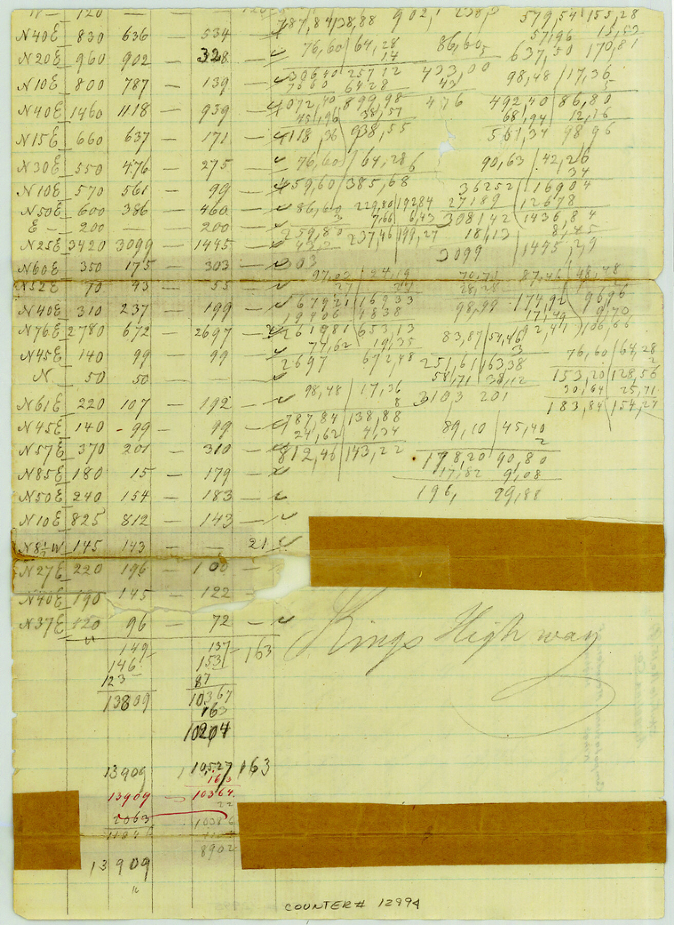
Angelina County Sketch File 15f
[Computations of meanders of King's Highway]
-
Map/Doc
12994
-
Collection
General Map Collection
-
Counties
Angelina
-
Subjects
Surveying Sketch File
-
Height x Width
10.4 x 7.6 inches
26.4 x 19.3 cm
-
Medium
paper, manuscript
-
Features
King's Highway
Durazno Creek
Part of: General Map Collection
Concho County Sketch File 7

Print $6.00
- Digital $50.00
Concho County Sketch File 7
1857
Size 16.4 x 11.5 inches
Map/Doc 19129
Foard County Working Sketch 4

Print $20.00
- Digital $50.00
Foard County Working Sketch 4
1934
Size 29.4 x 27.8 inches
Map/Doc 69194
Colorado County Working Sketch 25

Print $20.00
- Digital $50.00
Colorado County Working Sketch 25
1972
Size 39.1 x 34.2 inches
Map/Doc 68125
Hardin County Working Sketch 7

Print $20.00
- Digital $50.00
Hardin County Working Sketch 7
1925
Size 23.3 x 12.6 inches
Map/Doc 63405
Martin County Boundary File 2a

Print $6.00
- Digital $50.00
Martin County Boundary File 2a
Size 14.1 x 8.8 inches
Map/Doc 56776
Chambers County Rolled Sketch 27

Print $40.00
- Digital $50.00
Chambers County Rolled Sketch 27
1944
Size 53.2 x 35.4 inches
Map/Doc 8619
Flight Mission No. DAG-24K, Frame 38, Matagorda County

Print $20.00
- Digital $50.00
Flight Mission No. DAG-24K, Frame 38, Matagorda County
1953
Size 18.5 x 15.8 inches
Map/Doc 86525
Orange County NRC Article 33.136 Location Key Sheet

Print $20.00
- Digital $50.00
Orange County NRC Article 33.136 Location Key Sheet
1974
Size 27.0 x 23.0 inches
Map/Doc 87911
Shelby County Rolled Sketch 15

Print $40.00
- Digital $50.00
Shelby County Rolled Sketch 15
1948
Size 22.8 x 54.4 inches
Map/Doc 10313
Waller County

Print $40.00
- Digital $50.00
Waller County
1945
Size 48.9 x 28.4 inches
Map/Doc 95665
Brown County Working Sketch 4

Print $20.00
- Digital $50.00
Brown County Working Sketch 4
1926
Size 23.4 x 22.4 inches
Map/Doc 67769
Hardin County Working Sketch 19

Print $20.00
- Digital $50.00
Hardin County Working Sketch 19
1947
Size 28.9 x 34.3 inches
Map/Doc 63417
You may also like
Chambers County Sketch File 56

Print $7.00
- Digital $50.00
Chambers County Sketch File 56
Size 14.8 x 8.7 inches
Map/Doc 18099
Flight Mission No. DQO-8K, Frame 12, Galveston County

Print $20.00
- Digital $50.00
Flight Mission No. DQO-8K, Frame 12, Galveston County
1952
Size 18.7 x 22.4 inches
Map/Doc 85135
Map of the United States showing the Texas & Pacific Railway and its connections

Print $20.00
- Digital $50.00
Map of the United States showing the Texas & Pacific Railway and its connections
1875
Size 11.9 x 16.8 inches
Map/Doc 93960
Flight Mission No. DAH-9M, Frame 162, Orange County

Print $20.00
- Digital $50.00
Flight Mission No. DAH-9M, Frame 162, Orange County
1953
Size 18.6 x 22.3 inches
Map/Doc 86861
Kimble County Working Sketch 46

Print $20.00
- Digital $50.00
Kimble County Working Sketch 46
1951
Size 29.3 x 18.9 inches
Map/Doc 70114
Dawson County Working Sketch 5

Print $20.00
- Digital $50.00
Dawson County Working Sketch 5
1926
Size 22.3 x 26.1 inches
Map/Doc 68548
Deaf Smith County Sketch File 1a

Print $21.00
- Digital $50.00
Deaf Smith County Sketch File 1a
Size 11.5 x 9.2 inches
Map/Doc 20616
Map of Gonzales County

Print $40.00
- Digital $50.00
Map of Gonzales County
1842
Size 59.5 x 50.0 inches
Map/Doc 16839
Carte Reduite des Costes de la Louisiane et de la Floride

Print $20.00
Carte Reduite des Costes de la Louisiane et de la Floride
1764
Size 23.3 x 35.1 inches
Map/Doc 79295
Erath County Working Sketch 29

Print $20.00
- Digital $50.00
Erath County Working Sketch 29
1970
Size 25.6 x 27.4 inches
Map/Doc 69110
Pecos County Rolled Sketch 150

Print $20.00
- Digital $50.00
Pecos County Rolled Sketch 150
1958
Size 27.6 x 24.7 inches
Map/Doc 7280
Swisher County Sketch File 9

Print $4.00
- Digital $50.00
Swisher County Sketch File 9
1916
Size 11.2 x 8.7 inches
Map/Doc 37629