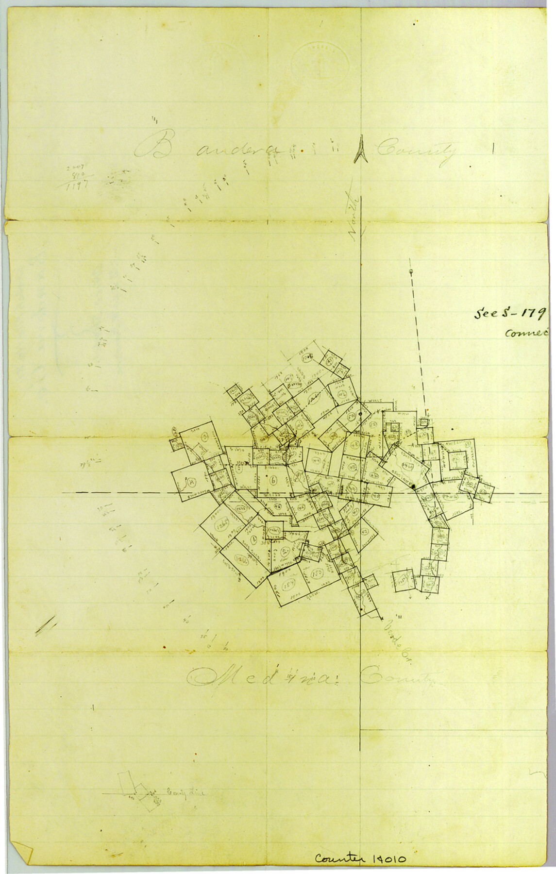
Bandera County Sketch File 21
[Office sketch of surveys in south Bandera County and Medina County]
-
Map/Doc
14010
-
Collection
General Map Collection
-
Counties
Bandera Medina
-
Subjects
Surveying Sketch File
-
Height x Width
12.7 x 8.1 inches
32.3 x 20.6 cm
-
Medium
paper, manuscript
-
Features
Verde Creek
Part of: General Map Collection
Knox County Boundary File 4

Print $7.00
- Digital $50.00
Knox County Boundary File 4
Size 17.0 x 11.0 inches
Map/Doc 65037
Jasper County Working Sketch 8

Print $20.00
- Digital $50.00
Jasper County Working Sketch 8
1915
Size 20.1 x 31.4 inches
Map/Doc 66470
Cochran County Boundary File 5

Print $12.00
- Digital $50.00
Cochran County Boundary File 5
Size 4.2 x 8.8 inches
Map/Doc 51556
North Sulphur River, Ben Franklin Sheet

Print $40.00
- Digital $50.00
North Sulphur River, Ben Franklin Sheet
1928
Size 24.6 x 57.4 inches
Map/Doc 65172
Dimmit County Sketch File 26

Print $6.00
- Digital $50.00
Dimmit County Sketch File 26
Size 13.5 x 10.2 inches
Map/Doc 21144
Panola County Working Sketch 11

Print $20.00
- Digital $50.00
Panola County Working Sketch 11
1944
Map/Doc 71420

Callahan County Sketch File 11

Print $64.00
- Digital $50.00
Callahan County Sketch File 11
Size 11.4 x 8.4 inches
Map/Doc 35887
Denton County Sketch File 28

Print $4.00
- Digital $50.00
Denton County Sketch File 28
Size 14.4 x 8.9 inches
Map/Doc 20756
Guadalupe County

Print $20.00
- Digital $50.00
Guadalupe County
1877
Size 21.5 x 21.4 inches
Map/Doc 3608
Dallam County Boundary File 2

Print $18.00
- Digital $50.00
Dallam County Boundary File 2
Size 8.7 x 4.3 inches
Map/Doc 52053
[Sketch for Mineral Application 14125 - Neches River, R. B. Moore]
![65668, [Sketch for Mineral Application 14125 - Neches River, R. B. Moore], General Map Collection](https://historictexasmaps.com/wmedia_w700/maps/65668.tif.jpg)
Print $40.00
- Digital $50.00
[Sketch for Mineral Application 14125 - Neches River, R. B. Moore]
1928
Size 50.1 x 26.6 inches
Map/Doc 65668
You may also like
Lubbock County Lines

Print $20.00
- Digital $50.00
Lubbock County Lines
1892
Size 22.7 x 22.6 inches
Map/Doc 91308
Coryell County Working Sketch 16

Print $20.00
- Digital $50.00
Coryell County Working Sketch 16
1957
Size 22.0 x 21.4 inches
Map/Doc 68223

Collingsworth County Sketch File 4

Print $20.00
- Digital $50.00
Collingsworth County Sketch File 4
1889
Size 23.4 x 31.3 inches
Map/Doc 11131
Flight Mission No. BRE-1P, Frame 77, Nueces County

Print $20.00
- Digital $50.00
Flight Mission No. BRE-1P, Frame 77, Nueces County
1956
Size 18.4 x 22.2 inches
Map/Doc 86659
Real County Rolled Sketch 4

Print $20.00
- Digital $50.00
Real County Rolled Sketch 4
1961
Size 18.7 x 20.4 inches
Map/Doc 7454
Brazoria County Boundary File 12 1/2

Print $10.00
- Digital $50.00
Brazoria County Boundary File 12 1/2
Size 9.0 x 7.3 inches
Map/Doc 50733
Coast Chart No. 107, Oyster Bay to Matagorda Bay, Texas

Print $20.00
Coast Chart No. 107, Oyster Bay to Matagorda Bay, Texas
1858
Size 32.8 x 41.0 inches
Map/Doc 79306
Oldham County Boundary File 1d

Print $68.00
- Digital $50.00
Oldham County Boundary File 1d
Size 14.0 x 8.5 inches
Map/Doc 57759
Cottle County Sketch File 6b

Print $2.00
- Digital $50.00
Cottle County Sketch File 6b
Size 8.8 x 14.1 inches
Map/Doc 19477
Jeff Davis County Rolled Sketch 33

Print $20.00
- Digital $50.00
Jeff Davis County Rolled Sketch 33
1986
Size 39.8 x 30.6 inches
Map/Doc 6379
Tyler County Sketch File 26

Print $26.00
- Digital $50.00
Tyler County Sketch File 26
1955
Size 14.5 x 8.8 inches
Map/Doc 38693