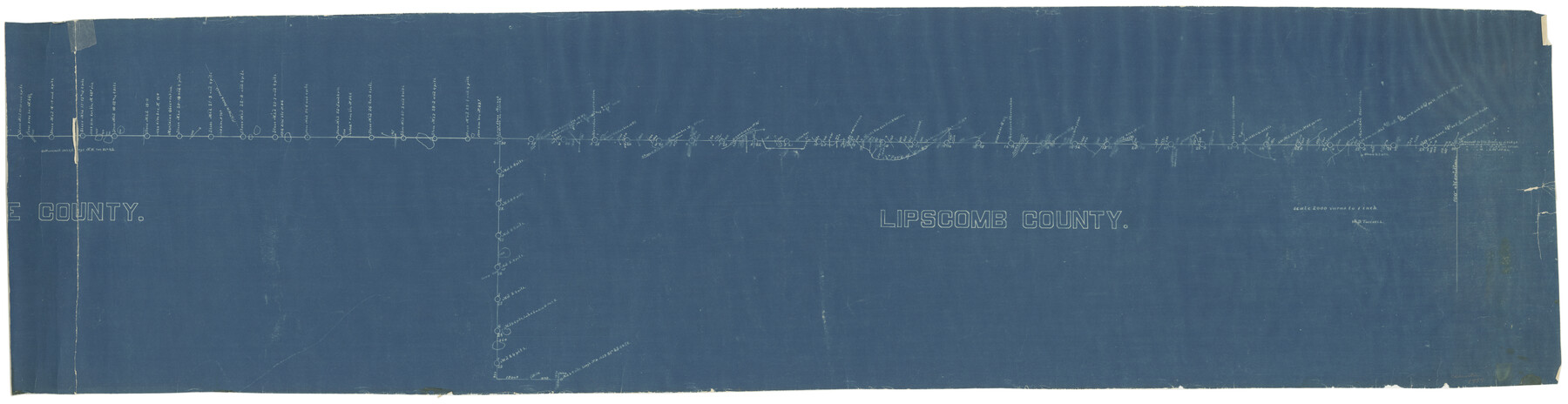
[Texas Panhandle North Boundary Line]
K-7-38
-
Map/Doc
1737
-
Collection
General Map Collection
-
Object Dates
1898 (Creation Date)
-
People and Organizations
W.D. Twichell (Surveyor/Engineer)
-
Counties
Lipscomb Ochiltree
-
Subjects
Texas Boundaries
-
Height x Width
11.9 x 46.1 inches
30.2 x 117.1 cm
Part of: General Map Collection
Hudspeth County Rolled Sketch 75

Print $40.00
- Digital $50.00
Hudspeth County Rolled Sketch 75
1992
Size 35.6 x 48.9 inches
Map/Doc 9238
Flight Mission No. BRE-1P, Frame 9, Nueces County

Print $20.00
- Digital $50.00
Flight Mission No. BRE-1P, Frame 9, Nueces County
1956
Size 18.5 x 22.4 inches
Map/Doc 86617
Map of Kerr County

Print $40.00
- Digital $50.00
Map of Kerr County
1895
Size 41.3 x 57.1 inches
Map/Doc 7824
North Shore of West Bay and Galveston Island

Print $40.00
- Digital $50.00
North Shore of West Bay and Galveston Island
1933
Size 37.4 x 57.7 inches
Map/Doc 69930
Briscoe County Sketch File 4

Print $40.00
- Digital $50.00
Briscoe County Sketch File 4
Size 26.0 x 33.5 inches
Map/Doc 10993
Harris County Sketch File 27

Print $12.00
- Digital $50.00
Harris County Sketch File 27
1886
Size 10.3 x 8.2 inches
Map/Doc 25397
Part of Laguna Madre in Cameron County, showing Subdivision for Mineral Development

Print $20.00
- Digital $50.00
Part of Laguna Madre in Cameron County, showing Subdivision for Mineral Development
1963
Size 45.8 x 36.0 inches
Map/Doc 1926
Leon County Rolled Sketch 34

Print $20.00
- Digital $50.00
Leon County Rolled Sketch 34
1999
Size 31.8 x 37.1 inches
Map/Doc 87502
Bell County Sketch File 26b

Print $40.00
- Digital $50.00
Bell County Sketch File 26b
Size 14.7 x 21.1 inches
Map/Doc 10917
Hardeman County Rolled Sketch 15

Print $20.00
- Digital $50.00
Hardeman County Rolled Sketch 15
1890
Size 18.0 x 23.0 inches
Map/Doc 6072
Calhoun County Rolled Sketch 14

Print $20.00
- Digital $50.00
Calhoun County Rolled Sketch 14
Size 22.1 x 40.5 inches
Map/Doc 5454
Wheeler County Working Sketch 7

Print $40.00
- Digital $50.00
Wheeler County Working Sketch 7
1972
Size 50.1 x 42.9 inches
Map/Doc 72496
You may also like
Houston County

Print $20.00
- Digital $50.00
Houston County
1868
Size 24.3 x 25.0 inches
Map/Doc 4568
Coleman County

Print $20.00
- Digital $50.00
Coleman County
1858
Size 25.2 x 22.5 inches
Map/Doc 3409
Val Verde County Working Sketch 99

Print $20.00
- Digital $50.00
Val Verde County Working Sketch 99
1981
Size 17.2 x 22.6 inches
Map/Doc 72234
Van Zandt County

Print $20.00
- Digital $50.00
Van Zandt County
1972
Size 47.6 x 42.0 inches
Map/Doc 95662
Map of Texas in 1836

Print $20.00
- Digital $50.00
Map of Texas in 1836
1936
Size 32.1 x 24.4 inches
Map/Doc 2110
Scurry County Rolled Sketch 6

Print $20.00
- Digital $50.00
Scurry County Rolled Sketch 6
1944
Size 29.0 x 28.8 inches
Map/Doc 7766
Hardin County Working Sketch 8

Print $20.00
- Digital $50.00
Hardin County Working Sketch 8
1926
Size 16.5 x 21.0 inches
Map/Doc 63406
Ownership Map Upton Co., Texas

Ownership Map Upton Co., Texas
1951
Size 45.6 x 56.9 inches
Map/Doc 89904
Travis County Working Sketch 63

Print $20.00
- Digital $50.00
Travis County Working Sketch 63
1998
Size 24.0 x 29.5 inches
Map/Doc 69447
Copy of Sketch in Nacogdoches Scrip 1392

Print $20.00
- Digital $50.00
Copy of Sketch in Nacogdoches Scrip 1392
1890
Size 25.3 x 14.7 inches
Map/Doc 75780
[Section 2, Block 5, Dawson County, Texas]
![92617, [Section 2, Block 5, Dawson County, Texas], Twichell Survey Records](https://historictexasmaps.com/wmedia_w700/maps/92617-1.tif.jpg)
Print $2.00
- Digital $50.00
[Section 2, Block 5, Dawson County, Texas]
Size 9.2 x 12.3 inches
Map/Doc 92617
Brewster County Rolled Sketch 144

Print $40.00
- Digital $50.00
Brewster County Rolled Sketch 144
Size 51.7 x 48.3 inches
Map/Doc 8526