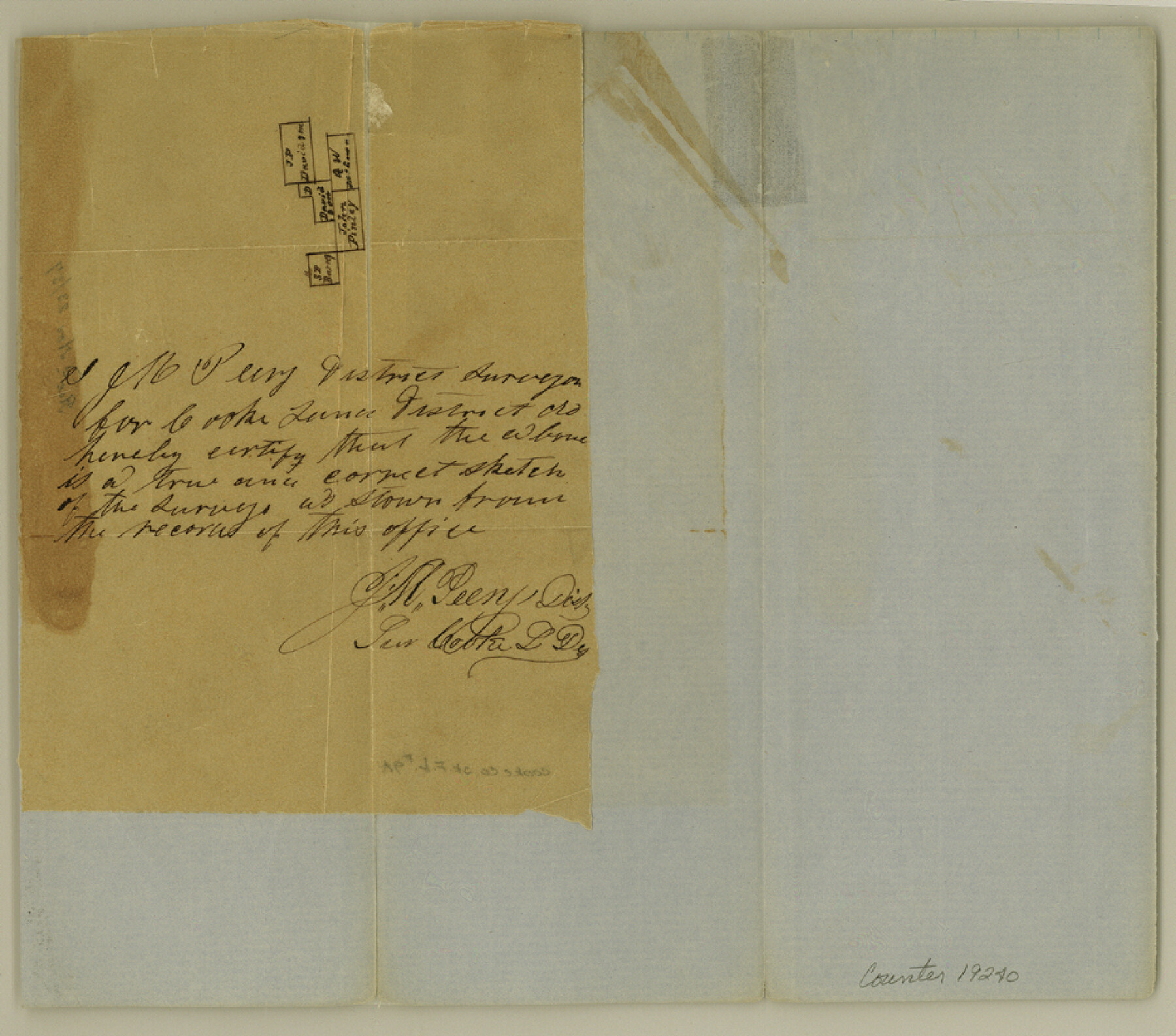
Cooke County Sketch File 9a
[Sketch on Finley's Creek]
-
Map/Doc
19240
-
Collection
General Map Collection
-
Object Dates
1857/11/23 (File Date)
-
People and Organizations
Peery (Surveyor/Engineer)
-
Counties
Cooke
-
Subjects
Surveying Sketch File
-
Height x Width
8.2 x 9.4 inches
20.8 x 23.9 cm
-
Medium
paper, manuscript
-
Features
[Finley's Creek]
Part of: General Map Collection
Presidio County Rolled Sketch 93

Print $20.00
- Digital $50.00
Presidio County Rolled Sketch 93
Size 35.5 x 31.1 inches
Map/Doc 7378
Texas & Pacific Ry Reserve west of the Pecos River

Print $40.00
- Digital $50.00
Texas & Pacific Ry Reserve west of the Pecos River
1880
Size 43.9 x 90.6 inches
Map/Doc 3047
Hartley County Rolled Sketch 4

Print $20.00
- Digital $50.00
Hartley County Rolled Sketch 4
1902
Size 25.4 x 36.7 inches
Map/Doc 6159
Webb County Boundary File 3a

Print $10.00
- Digital $50.00
Webb County Boundary File 3a
Size 14.2 x 8.7 inches
Map/Doc 59753
Flight Mission No. CGI-4N, Frame 162, Cameron County

Print $20.00
- Digital $50.00
Flight Mission No. CGI-4N, Frame 162, Cameron County
1955
Size 18.7 x 22.5 inches
Map/Doc 84670
Polk County Sketch File 10

Print $4.00
- Digital $50.00
Polk County Sketch File 10
Size 5.2 x 6.4 inches
Map/Doc 34140
Presidio County Working Sketch 77

Print $20.00
- Digital $50.00
Presidio County Working Sketch 77
1964
Size 36.0 x 39.0 inches
Map/Doc 71754
Garza County Working Sketch 3

Print $20.00
- Digital $50.00
Garza County Working Sketch 3
1919
Size 13.8 x 14.0 inches
Map/Doc 63150
Jeff Davis County Sketch File 36

Print $40.00
- Digital $50.00
Jeff Davis County Sketch File 36
1951
Size 17.1 x 14.3 inches
Map/Doc 28048

Map of Drum, Oyster & Bastrop Bays & vicinity in Brazoria County showing subdivision for mineral development

Print $20.00
- Digital $50.00
Map of Drum, Oyster & Bastrop Bays & vicinity in Brazoria County showing subdivision for mineral development
Size 36.8 x 47.3 inches
Map/Doc 65808
Pecos County Working Sketch 3

Print $20.00
- Digital $50.00
Pecos County Working Sketch 3
1927
Map/Doc 71473
You may also like
Scurry County Rolled Sketch 9

Print $20.00
- Digital $50.00
Scurry County Rolled Sketch 9
1963
Size 23.0 x 22.0 inches
Map/Doc 7769
Wilbarger County Working Sketch 3

Print $20.00
- Digital $50.00
Wilbarger County Working Sketch 3
1923
Size 22.0 x 23.9 inches
Map/Doc 72541
Coke County Sketch File 8

Print $20.00
- Digital $50.00
Coke County Sketch File 8
Size 20.2 x 27.8 inches
Map/Doc 11106
Pecos County Sketch File 33

Print $40.00
- Digital $50.00
Pecos County Sketch File 33
1935
Size 8.9 x 20.7 inches
Map/Doc 33712
Brazoria County NRC Article 33.136 Sketch 7

Print $21.00
- Digital $50.00
Brazoria County NRC Article 33.136 Sketch 7
2004
Size 23.7 x 33.3 inches
Map/Doc 82907
Jeff Davis County Working Sketch 6

Print $20.00
- Digital $50.00
Jeff Davis County Working Sketch 6
1928
Size 43.5 x 39.8 inches
Map/Doc 66501
Lavaca County Working Sketch 17

Print $20.00
- Digital $50.00
Lavaca County Working Sketch 17
1979
Size 34.7 x 44.6 inches
Map/Doc 70370
Flight Mission No. DAG-21K, Frame 123, Matagorda County

Print $20.00
- Digital $50.00
Flight Mission No. DAG-21K, Frame 123, Matagorda County
1952
Size 18.5 x 22.4 inches
Map/Doc 86449
Ellis County Sketch File 13

Print $40.00
- Digital $50.00
Ellis County Sketch File 13
1860
Size 12.6 x 16.0 inches
Map/Doc 21852
Sterling County Working Sketch 5

Print $20.00
- Digital $50.00
Sterling County Working Sketch 5
1954
Size 18.9 x 34.9 inches
Map/Doc 63987
Kerr County Working Sketch 34

Print $40.00
- Digital $50.00
Kerr County Working Sketch 34
1980
Size 51.6 x 38.9 inches
Map/Doc 70065
Limestone County Working Sketch 1

Print $20.00
- Digital $50.00
Limestone County Working Sketch 1
Size 15.4 x 13.0 inches
Map/Doc 70551