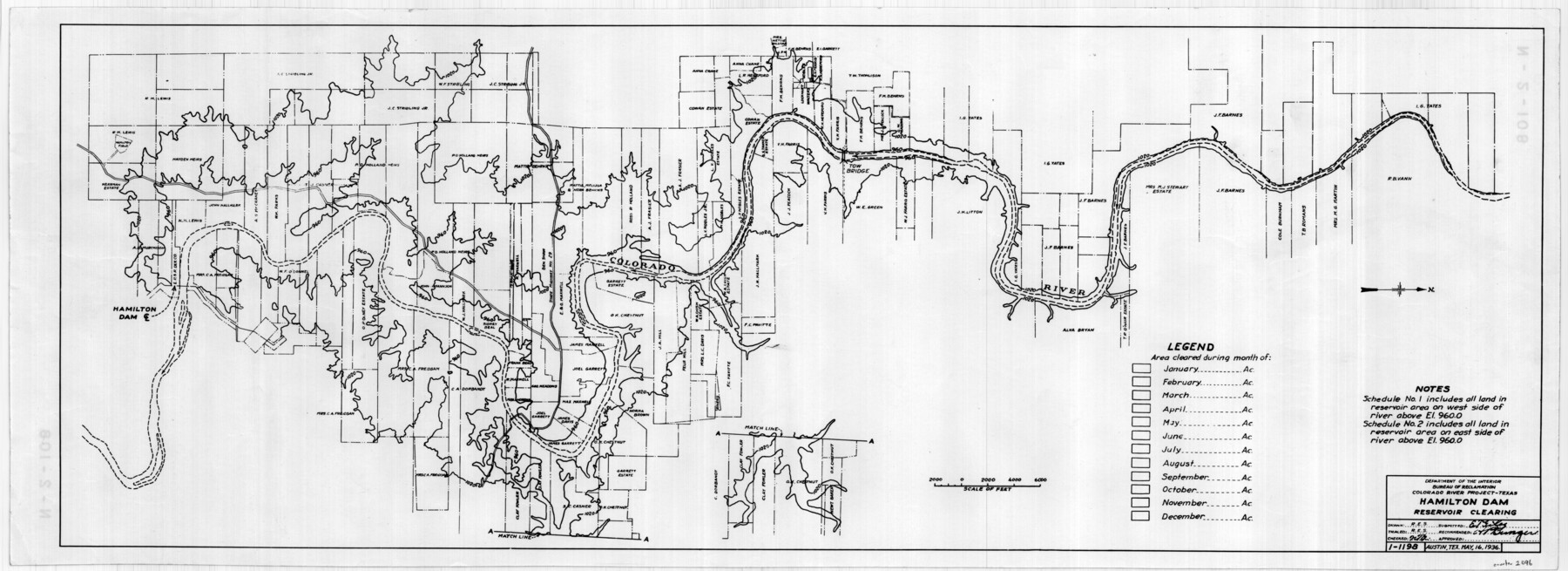
Hamilton Dam, Reservoir Clearing
N-2-108
-
Map/Doc
2096
-
Collection
General Map Collection
-
Object Dates
1936 (Creation Date)
-
People and Organizations
Department of Interior, Bureau of Reclamation (Author)
-
Height x Width
10.5 x 28.9 inches
26.7 x 73.4 cm
Part of: General Map Collection
Township No. 5 South Range No. 10 West of the Indian Meridian

Print $20.00
- Digital $50.00
Township No. 5 South Range No. 10 West of the Indian Meridian
1874
Size 19.2 x 24.5 inches
Map/Doc 75161
Armstrong County Sketch File A-13

Print $40.00
- Digital $50.00
Armstrong County Sketch File A-13
Size 12.8 x 17.7 inches
Map/Doc 13714
Burleson County Working Sketch 12

Print $20.00
- Digital $50.00
Burleson County Working Sketch 12
1980
Size 20.6 x 12.0 inches
Map/Doc 67731
Angelina County Working Sketch 38

Print $20.00
- Digital $50.00
Angelina County Working Sketch 38
1958
Size 26.4 x 33.0 inches
Map/Doc 67121
Travis County Rolled Sketch 36

Print $20.00
- Digital $50.00
Travis County Rolled Sketch 36
Size 33.9 x 24.5 inches
Map/Doc 8037
Terrell County Working Sketch 61

Print $20.00
- Digital $50.00
Terrell County Working Sketch 61
1962
Size 20.3 x 34.3 inches
Map/Doc 69582
Dallas County Boundary File 5

Print $120.00
- Digital $50.00
Dallas County Boundary File 5
Size 11.5 x 72.2 inches
Map/Doc 52160
Dawson County Rolled Sketch 5

Print $20.00
- Digital $50.00
Dawson County Rolled Sketch 5
1913
Size 33.6 x 28.0 inches
Map/Doc 5691
Harris County Sketch File 79

Print $20.00
- Digital $50.00
Harris County Sketch File 79
1972
Size 28.9 x 33.2 inches
Map/Doc 10481
Culberson County Sketch File 11a

Print $4.00
- Digital $50.00
Culberson County Sketch File 11a
1926
Size 14.3 x 8.7 inches
Map/Doc 20172
Flight Mission No. BRE-2P, Frame 96, Nueces County

Print $20.00
- Digital $50.00
Flight Mission No. BRE-2P, Frame 96, Nueces County
1956
Size 18.4 x 22.3 inches
Map/Doc 86781
Flight Mission No. BQR-9K, Frame 44, Brazoria County

Print $20.00
- Digital $50.00
Flight Mission No. BQR-9K, Frame 44, Brazoria County
1952
Size 18.7 x 22.3 inches
Map/Doc 84048
You may also like
Montgomery County

Print $20.00
- Digital $50.00
Montgomery County
1871
Size 21.5 x 23.9 inches
Map/Doc 4598
Flight Mission No. BQR-16K, Frame 35, Brazoria County

Print $20.00
- Digital $50.00
Flight Mission No. BQR-16K, Frame 35, Brazoria County
1952
Size 18.5 x 22.2 inches
Map/Doc 84102
Wilson County Sketch File 12

Print $8.00
- Digital $50.00
Wilson County Sketch File 12
1841
Size 14.1 x 8.6 inches
Map/Doc 40425
Flight Mission No. CRC-2R, Frame 190, Chambers County

Print $20.00
- Digital $50.00
Flight Mission No. CRC-2R, Frame 190, Chambers County
1956
Size 18.8 x 22.4 inches
Map/Doc 84768
Bexar County Sketch File 44

Print $5.00
- Digital $50.00
Bexar County Sketch File 44
1844
Size 15.7 x 9.3 inches
Map/Doc 14524
Comanche County Sketch File 11

Print $4.00
- Digital $50.00
Comanche County Sketch File 11
Size 8.6 x 15.3 inches
Map/Doc 19072
Travis County Sketch File 17

Print $6.00
- Digital $50.00
Travis County Sketch File 17
Size 8.4 x 7.8 inches
Map/Doc 38314
Map of Dimmit County

Print $20.00
- Digital $50.00
Map of Dimmit County
1875
Size 21.9 x 24.0 inches
Map/Doc 3489
Orange County Working Sketch 48

Print $20.00
- Digital $50.00
Orange County Working Sketch 48
1991
Size 13.3 x 19.9 inches
Map/Doc 71380
Lampasas County Sketch File 3

Print $4.00
- Digital $50.00
Lampasas County Sketch File 3
1856
Size 12.1 x 7.6 inches
Map/Doc 29392
Crosbyton (Jeff Williams Plan)

Print $20.00
- Digital $50.00
Crosbyton (Jeff Williams Plan)
Size 26.0 x 18.2 inches
Map/Doc 92126
Liberty County Working Sketch 88

Print $20.00
- Digital $50.00
Liberty County Working Sketch 88
1991
Size 19.6 x 38.8 inches
Map/Doc 70548