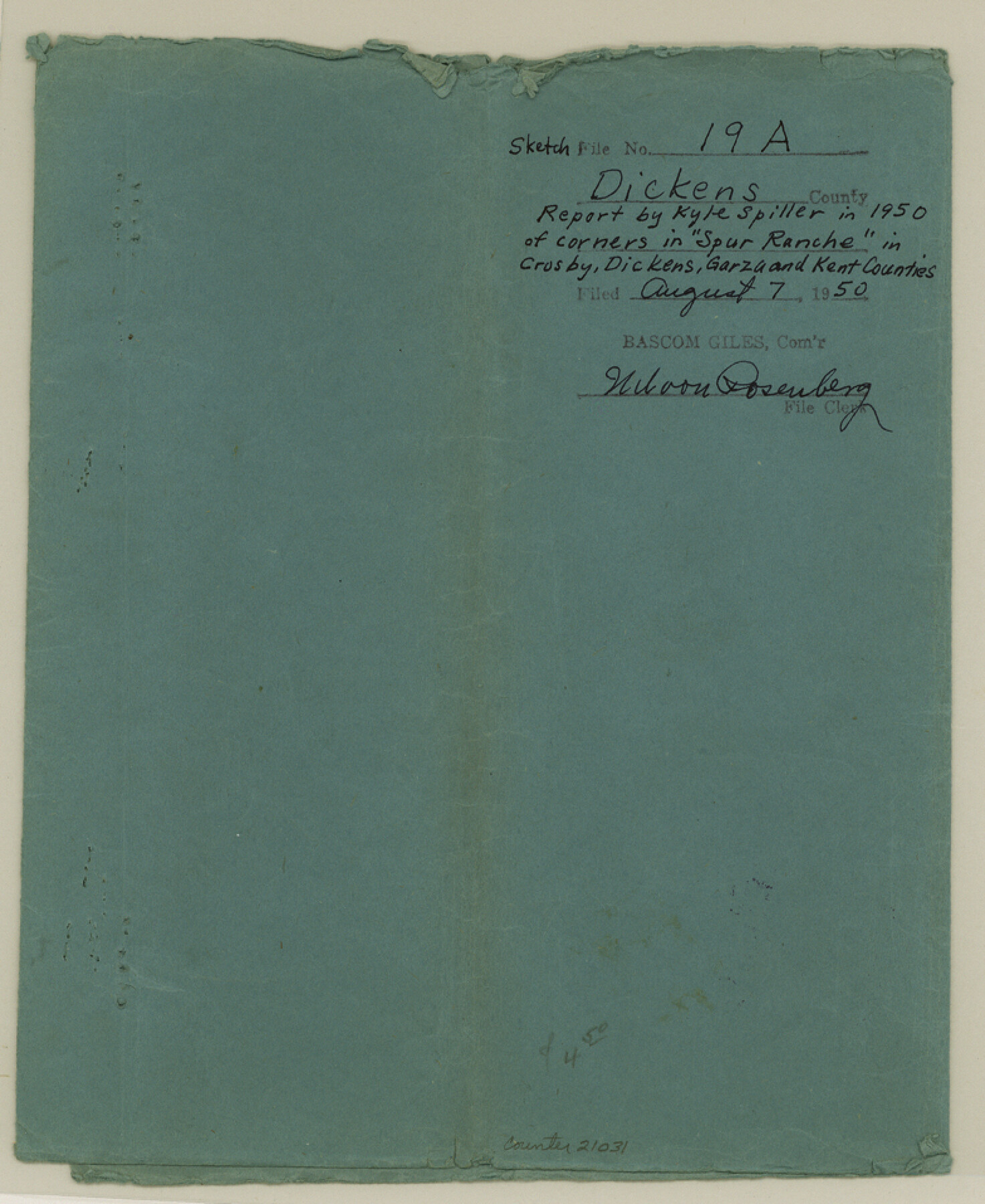
Dickens County Sketch File 19a
[Report of corners in "Spur Ranche" in Crosby, Dickens, Garza and Kent Counties]
-
Map/Doc
21031
-
Collection
General Map Collection
-
Object Dates
1950/8/7 (File Date)
1882 (Survey Date)
-
People and Organizations
Kyle Spiller (Surveyor/Engineer)
L.C. Wise (Surveyor/Engineer)
Geo. M. Williams (Surveyor/Engineer)
-
Counties
Dickens Crosby Garza Kent
-
Subjects
Surveying Sketch File
-
Height x Width
9.6 x 7.8 inches
24.4 x 19.8 cm
-
Medium
paper, print
-
Features
Spur Ranch
Callis Ravine
Little Panther Canyon
Marblebank Creek
McKenzie Peak
Dickens Peak
Gudeman's Peak
Salt Fork of the Brazos River
Dockum Creek
Hayrick Mountain
Sodier's Mound
Brandenburg Peak
White River North
Marblebank Creek
Part of: General Map Collection
Chambers County Sketch File 4

Print $40.00
- Digital $50.00
Chambers County Sketch File 4
1859
Size 25.8 x 8.8 inches
Map/Doc 17521
Dimmit County Sketch File 61

Print $12.00
- Digital $50.00
Dimmit County Sketch File 61
1999
Size 11.4 x 8.8 inches
Map/Doc 21208
Zapata County Working Sketch 4

Print $20.00
- Digital $50.00
Zapata County Working Sketch 4
1935
Size 19.6 x 22.1 inches
Map/Doc 62055
Cass County Sketch File 21

Print $6.00
- Digital $50.00
Cass County Sketch File 21
1936
Size 14.1 x 8.7 inches
Map/Doc 17424
Collin County Working Sketch 2

Print $20.00
- Digital $50.00
Collin County Working Sketch 2
1926
Size 15.2 x 17.7 inches
Map/Doc 68096
Flight Mission No. BRA-16M, Frame 83, Jefferson County

Print $20.00
- Digital $50.00
Flight Mission No. BRA-16M, Frame 83, Jefferson County
1953
Size 18.5 x 22.3 inches
Map/Doc 85695
Hardin County Working Sketch Graphic Index

Print $20.00
- Digital $50.00
Hardin County Working Sketch Graphic Index
1940
Size 45.1 x 45.0 inches
Map/Doc 76567
Haskell County Working Sketch 8

Print $20.00
- Digital $50.00
Haskell County Working Sketch 8
1957
Size 22.8 x 24.0 inches
Map/Doc 66066
Pecos County Sketch File 13

Print $20.00
- Digital $50.00
Pecos County Sketch File 13
Size 22.7 x 18.8 inches
Map/Doc 12156
Flight Mission No. DCL-5C, Frame 28, Kenedy County

Print $20.00
- Digital $50.00
Flight Mission No. DCL-5C, Frame 28, Kenedy County
1943
Size 18.5 x 22.3 inches
Map/Doc 85840
Hockley County

Print $20.00
- Digital $50.00
Hockley County
1954
Size 44.2 x 39.7 inches
Map/Doc 95531
Irion County Sketch File 18

Print $10.00
- Digital $50.00
Irion County Sketch File 18
Size 11.2 x 8.7 inches
Map/Doc 27494
You may also like
Lamb County Boundary File 1e

Print $10.00
- Digital $50.00
Lamb County Boundary File 1e
Size 11.3 x 8.8 inches
Map/Doc 56053
Loving County Rolled Sketch 15

Print $20.00
- Digital $50.00
Loving County Rolled Sketch 15
2015
Size 36.2 x 24.4 inches
Map/Doc 93793
Donley County Sketch File 2

Print $20.00
- Digital $50.00
Donley County Sketch File 2
Size 20.3 x 18.4 inches
Map/Doc 11363
Wilbarger County Boundary File 1

Print $52.00
- Digital $50.00
Wilbarger County Boundary File 1
Size 8.9 x 5.6 inches
Map/Doc 59916
Flight Mission No. DQN-2K, Frame 48, Calhoun County

Print $20.00
- Digital $50.00
Flight Mission No. DQN-2K, Frame 48, Calhoun County
1953
Size 17.1 x 22.2 inches
Map/Doc 84253
Map of Chicago, Rock Island & Texas Railway through Montague and Wise Counties, Texas

Print $20.00
- Digital $50.00
Map of Chicago, Rock Island & Texas Railway through Montague and Wise Counties, Texas
1893
Size 19.0 x 47.6 inches
Map/Doc 64469
Flight Mission No. CLL-1N, Frame 185, Willacy County

Print $20.00
- Digital $50.00
Flight Mission No. CLL-1N, Frame 185, Willacy County
1954
Size 18.4 x 22.1 inches
Map/Doc 87055
General Highway Map. Detail of Cities and Towns in Tarrant County, Texas [Fort Worth and vicinity]
![79253, General Highway Map. Detail of Cities and Towns in Tarrant County, Texas [Fort Worth and vicinity], Texas State Library and Archives](https://historictexasmaps.com/wmedia_w700/maps/79253-GC.tif.jpg)
Print $20.00
General Highway Map. Detail of Cities and Towns in Tarrant County, Texas [Fort Worth and vicinity]
1940
Size 24.8 x 18.4 inches
Map/Doc 79253
El Paso County Boundary File 14

Print $8.00
- Digital $50.00
El Paso County Boundary File 14
Size 13.0 x 8.6 inches
Map/Doc 53179
Map of Harris District

Print $20.00
- Digital $50.00
Map of Harris District
1847
Size 25.4 x 34.4 inches
Map/Doc 1680
Houston Ship Channel, Alexander Island to Carpenter Bayou

Print $20.00
- Digital $50.00
Houston Ship Channel, Alexander Island to Carpenter Bayou
1973
Size 35.6 x 46.3 inches
Map/Doc 69909
[Sketch of part of G. & M. Block 5]
![93076, [Sketch of part of G. & M. Block 5], Twichell Survey Records](https://historictexasmaps.com/wmedia_w700/maps/93076-1.tif.jpg)
Print $20.00
- Digital $50.00
[Sketch of part of G. & M. Block 5]
Size 30.4 x 16.3 inches
Map/Doc 93076