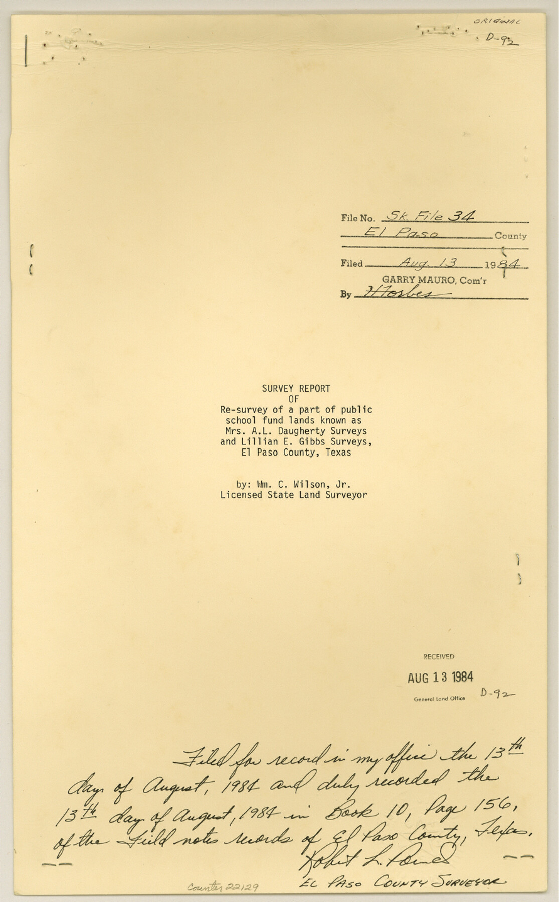
El Paso County Sketch File 34
[Survey report of a resurvey of a part of public school fund lands known as Mrs. A.L. Daugherty surveys and Lillian E. Gibbs surveys]
-
Map/Doc
22129
-
Collection
General Map Collection
-
Object Dates
1984/7/28 (Creation Date)
1984/8/13 (File Date)
-
People and Organizations
William C. Wilson, Jr. (Surveyor/Engineer)
J.W. Eubanks (Surveyor/Engineer)
W.L. Diffenderffer (Surveyor/Engineer)
R.E. Hardaway (Surveyor/Engineer)
Jacob Kuechler (Surveyor/Engineer)
Paul McCombs (Surveyor/Engineer)
Behn Cook (Surveyor/Engineer)
W.L. Rider (Surveyor/Engineer)
J.W. Carter (Surveyor/Engineer)
-
Counties
El Paso
-
Subjects
Surveying Sketch File
-
Height x Width
14.3 x 8.9 inches
36.3 x 22.6 cm
-
Medium
multi-page, multi-format
-
Comments
See El Paso County Rolled Sketch 57A (8879) and El Paso County Rolled Sketch 57B (8880)
-
Features
Rio Grande
Tornillo
Highway 20
Related maps
El Paso County Rolled Sketch 57A

Print $40.00
- Digital $50.00
El Paso County Rolled Sketch 57A
1984
Size 49.2 x 39.4 inches
Map/Doc 8879
El Paso County Rolled Sketch 57B

Print $40.00
- Digital $50.00
El Paso County Rolled Sketch 57B
1984
Size 49.0 x 37.1 inches
Map/Doc 8880
Part of: General Map Collection
Washington County

Print $20.00
- Digital $50.00
Washington County
1976
Size 31.7 x 47.3 inches
Map/Doc 95667
Culberson County Rolled Sketch 51

Print $20.00
- Digital $50.00
Culberson County Rolled Sketch 51
1966
Size 35.2 x 27.0 inches
Map/Doc 5670
Val Verde County Working Sketch 106

Print $20.00
- Digital $50.00
Val Verde County Working Sketch 106
1984
Size 30.4 x 40.8 inches
Map/Doc 72241
Flight Mission No. DIX-6P, Frame 183, Aransas County

Print $20.00
- Digital $50.00
Flight Mission No. DIX-6P, Frame 183, Aransas County
1956
Size 19.1 x 22.7 inches
Map/Doc 83845
Taylor County Sketch File 4

Print $2.00
- Digital $50.00
Taylor County Sketch File 4
Size 7.2 x 9.8 inches
Map/Doc 37780
Ector County Working Sketch 4

Print $20.00
- Digital $50.00
Ector County Working Sketch 4
1940
Size 25.8 x 30.0 inches
Map/Doc 68847
Uvalde County Working Sketch 47

Print $20.00
- Digital $50.00
Uvalde County Working Sketch 47
1979
Size 29.7 x 24.8 inches
Map/Doc 72117
Medina County Sketch File 8

Print $4.00
- Digital $50.00
Medina County Sketch File 8
Size 9.3 x 6.6 inches
Map/Doc 31456
Coryell County Sketch File 11

Print $4.00
- Digital $50.00
Coryell County Sketch File 11
Size 8.7 x 11.7 inches
Map/Doc 19364
Map of Nueces County

Print $20.00
- Digital $50.00
Map of Nueces County
1875
Size 24.6 x 37.4 inches
Map/Doc 3919
Burleson County Working Sketch 12

Print $20.00
- Digital $50.00
Burleson County Working Sketch 12
1980
Size 20.6 x 12.0 inches
Map/Doc 67731
Pecos County Rolled Sketch 134

Print $20.00
- Digital $50.00
Pecos County Rolled Sketch 134
1952
Size 35.9 x 27.0 inches
Map/Doc 7270
You may also like
Webb County Working Sketch 46

Print $20.00
- Digital $50.00
Webb County Working Sketch 46
1947
Size 18.4 x 23.5 inches
Map/Doc 72411
Railroad and County Map of Texas

Print $20.00
- Digital $50.00
Railroad and County Map of Texas
1908
Size 42.7 x 44.7 inches
Map/Doc 2141
Nebraska and Kansas

Print $20.00
- Digital $50.00
Nebraska and Kansas
Size 14.7 x 16.7 inches
Map/Doc 93997
Calhoun County Rolled Sketch 27

Print $127.00
- Digital $50.00
Calhoun County Rolled Sketch 27
1976
Size 10.1 x 16.0 inches
Map/Doc 43621
Burleson County Working Sketch 21

Print $20.00
- Digital $50.00
Burleson County Working Sketch 21
1980
Size 16.4 x 12.7 inches
Map/Doc 67740
[Preliminary Drawing of School Leagues]
![89932, [Preliminary Drawing of School Leagues], Twichell Survey Records](https://historictexasmaps.com/wmedia_w700/maps/89932-1.tif.jpg)
Print $40.00
- Digital $50.00
[Preliminary Drawing of School Leagues]
Size 38.3 x 66.8 inches
Map/Doc 89932
Wise County Sketch File 13

Print $4.00
- Digital $50.00
Wise County Sketch File 13
Size 9.0 x 15.2 inches
Map/Doc 40546
Map of Brown County

Print $20.00
- Digital $50.00
Map of Brown County
1858
Size 25.7 x 25.3 inches
Map/Doc 3336
Flight Mission No. DAG-17K, Frame 72, Matagorda County

Print $20.00
- Digital $50.00
Flight Mission No. DAG-17K, Frame 72, Matagorda County
1952
Size 18.6 x 22.4 inches
Map/Doc 86331
[T. & P. Blocks 33 and 34, Township 5N]
![90638, [T. & P. Blocks 33 and 34, Township 5N], Twichell Survey Records](https://historictexasmaps.com/wmedia_w700/maps/90638-1.tif.jpg)
Print $20.00
- Digital $50.00
[T. & P. Blocks 33 and 34, Township 5N]
Size 30.7 x 20.8 inches
Map/Doc 90638
Presidio County Working Sketch 21

Print $20.00
- Digital $50.00
Presidio County Working Sketch 21
1945
Size 25.4 x 35.9 inches
Map/Doc 71697
Upshur County Sketch File 17

Print $62.00
- Digital $50.00
Upshur County Sketch File 17
1965
Size 35.4 x 31.8 inches
Map/Doc 10410