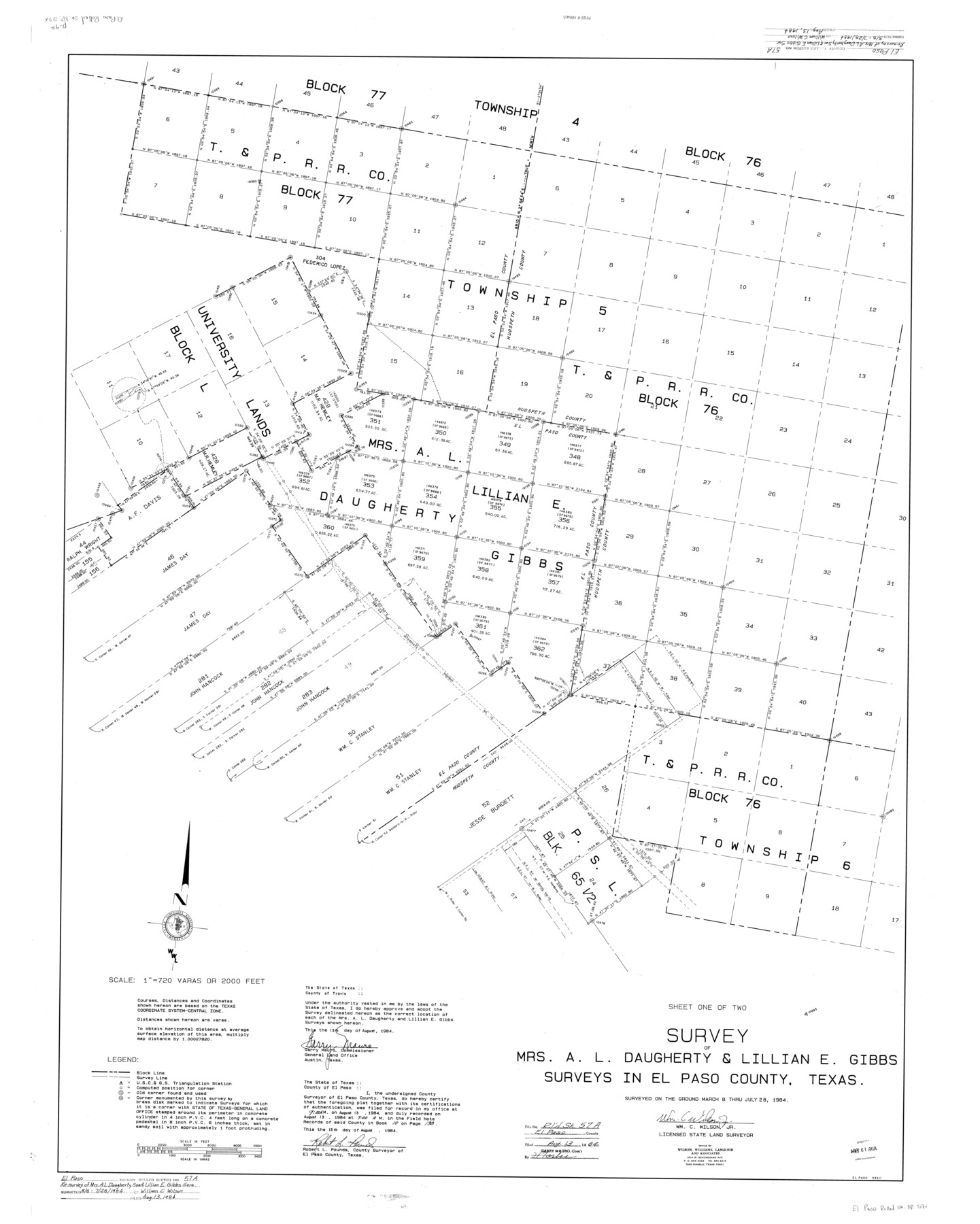
El Paso County Rolled Sketch 57A
Survey of Mrs. A.L. Daugherty & Lillian E. Gibbs surveys in El Paso County, Texas
-
Map/Doc
8879
-
Collection
General Map Collection
-
Object Dates
7/28/1984 (Creation Date)
8/13/1984 (File Date)
-
People and Organizations
William C. Wilson, Jr. (Surveyor/Engineer)
-
Counties
El Paso
-
Subjects
Surveying Rolled Sketch
-
Height x Width
49.2 x 39.4 inches
125.0 x 100.1 cm
-
Medium
mylar, print
-
Scale
1" = 720 varas
-
Comments
Sheet 1 of 2. For sheet 2, see El Paso County Rolled Sketch 57B (8880). See El Paso County Sketch File 34 (22129) for report.
Related maps
El Paso County Sketch File 34

Print $82.00
- Digital $50.00
El Paso County Sketch File 34
1984
Size 14.3 x 8.9 inches
Map/Doc 22129
El Paso County Rolled Sketch 57B

Print $40.00
- Digital $50.00
El Paso County Rolled Sketch 57B
1984
Size 49.0 x 37.1 inches
Map/Doc 8880
Part of: General Map Collection
Flight Mission No. CGI-4N, Frame 161, Cameron County

Print $20.00
- Digital $50.00
Flight Mission No. CGI-4N, Frame 161, Cameron County
1955
Size 18.7 x 22.4 inches
Map/Doc 84669
Val Verde County Working Sketch Graphic Index, Sheet 2 (Sketches 26 to 88)

Print $20.00
- Digital $50.00
Val Verde County Working Sketch Graphic Index, Sheet 2 (Sketches 26 to 88)
1944
Size 40.3 x 36.4 inches
Map/Doc 76725
Flight Mission No. BRA-8M, Frame 140, Jefferson County

Print $20.00
- Digital $50.00
Flight Mission No. BRA-8M, Frame 140, Jefferson County
1953
Size 18.6 x 22.2 inches
Map/Doc 85632
Flight Mission No. DQO-8K, Frame 68, Galveston County

Print $20.00
- Digital $50.00
Flight Mission No. DQO-8K, Frame 68, Galveston County
1952
Size 17.3 x 19.5 inches
Map/Doc 85172
Rio Grande, Lower Rio Grande Valley/Bulletin 29-A

Print $4.00
- Digital $50.00
Rio Grande, Lower Rio Grande Valley/Bulletin 29-A
1937
Size 12.1 x 24.0 inches
Map/Doc 65103
Jack County Working Sketch 9

Print $20.00
- Digital $50.00
Jack County Working Sketch 9
1955
Size 35.3 x 29.9 inches
Map/Doc 66435
Van Zandt County Working Sketch 20

Print $20.00
- Digital $50.00
Van Zandt County Working Sketch 20
1992
Size 30.4 x 34.7 inches
Map/Doc 72270
Bandera County Rolled Sketch 4

Print $20.00
- Digital $50.00
Bandera County Rolled Sketch 4
1963
Size 36.0 x 28.5 inches
Map/Doc 5116
Navigation Maps of Gulf Intracoastal Waterway, Port Arthur to Brownsville, Texas

Print $4.00
- Digital $50.00
Navigation Maps of Gulf Intracoastal Waterway, Port Arthur to Brownsville, Texas
1951
Size 16.7 x 21.3 inches
Map/Doc 65444
Pecos County Rolled Sketch DK4

Print $20.00
- Digital $50.00
Pecos County Rolled Sketch DK4
Size 41.2 x 30.2 inches
Map/Doc 7309
Coke County Rolled Sketch 1

Print $20.00
- Digital $50.00
Coke County Rolled Sketch 1
1943
Size 26.9 x 21.6 inches
Map/Doc 5503
Galveston County Sketch File 13

Print $20.00
- Digital $50.00
Galveston County Sketch File 13
Size 16.2 x 12.5 inches
Map/Doc 11530
You may also like
United States of America compiled from the latest & best Authorities

Print $20.00
- Digital $50.00
United States of America compiled from the latest & best Authorities
1818
Size 17.3 x 20.9 inches
Map/Doc 97135
Gaines County Sketch File 8

Print $40.00
- Digital $50.00
Gaines County Sketch File 8
1941
Size 14.2 x 17.2 inches
Map/Doc 23191
Colorado River Project - Texas, Marshall Ford Dam right of way survey

Print $20.00
- Digital $50.00
Colorado River Project - Texas, Marshall Ford Dam right of way survey
1937
Size 22.1 x 42.0 inches
Map/Doc 3151
San Patricio County Rolled Sketch 49

Print $20.00
- Digital $50.00
San Patricio County Rolled Sketch 49
1979
Size 19.7 x 17.7 inches
Map/Doc 7734

Henderson County Boundary File 3c

Print $40.00
- Digital $50.00
Henderson County Boundary File 3c
Size 22.5 x 80.6 inches
Map/Doc 54707
Lee County Boundary File 2

Print $25.00
- Digital $50.00
Lee County Boundary File 2
Size 14.2 x 8.6 inches
Map/Doc 56269
El Paso County Working Sketch 39

Print $20.00
- Digital $50.00
El Paso County Working Sketch 39
1984
Size 45.7 x 37.1 inches
Map/Doc 69061
Brewster County Rolled Sketch 64

Print $20.00
- Digital $50.00
Brewster County Rolled Sketch 64
1940
Size 17.1 x 21.0 inches
Map/Doc 5232
Flight Mission No. DCL-4C, Frame 120, Kenedy County

Print $20.00
- Digital $50.00
Flight Mission No. DCL-4C, Frame 120, Kenedy County
1943
Size 18.6 x 22.5 inches
Map/Doc 85819
Ochiltree County Boundary File 7

Print $20.00
- Digital $50.00
Ochiltree County Boundary File 7
Size 36.1 x 9.3 inches
Map/Doc 57715
Parker County Working Sketch 26

Print $20.00
- Digital $50.00
Parker County Working Sketch 26
2008
Map/Doc 88856