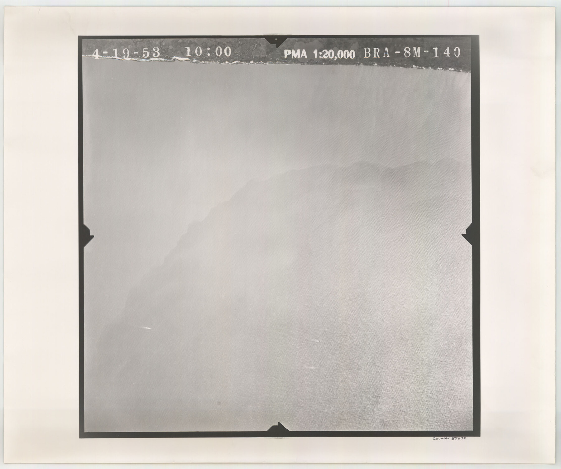
Flight Mission No. BRA-8M, Frame 140, Jefferson County
BRA-8M-140
-
Map/Doc
85632
-
Collection
General Map Collection
-
Object Dates
1953/4/19 (Creation Date)
-
People and Organizations
U. S. Department of Agriculture (Publisher)
-
Counties
Jefferson
-
Subjects
Aerial Photograph
-
Height x Width
18.6 x 22.2 inches
47.2 x 56.4 cm
-
Comments
Flown by Jack Ammann Photogrammetric Engineers of San Antonio, Texas.
Part of: General Map Collection
Jefferson County Rolled Sketch 64

Print $20.00
- Digital $50.00
Jefferson County Rolled Sketch 64
1982
Size 26.7 x 37.4 inches
Map/Doc 9319
Flight Mission No. BRA-3M, Frame 190, Jefferson County

Print $20.00
- Digital $50.00
Flight Mission No. BRA-3M, Frame 190, Jefferson County
1953
Size 18.6 x 22.3 inches
Map/Doc 85405
Sketch Showing Land Ties with Houston & Texas Central Railroad Through Harris County, Texas

Print $20.00
- Digital $50.00
Sketch Showing Land Ties with Houston & Texas Central Railroad Through Harris County, Texas
1880
Size 7.3 x 27.0 inches
Map/Doc 66739
Fannin County Boundary File 1

Print $14.00
- Digital $50.00
Fannin County Boundary File 1
Size 13.2 x 8.6 inches
Map/Doc 53272
Kimble County Working Sketch 95

Print $20.00
- Digital $50.00
Kimble County Working Sketch 95
1994
Size 36.2 x 45.9 inches
Map/Doc 70163
Gregg County Rolled Sketch 23

Print $40.00
- Digital $50.00
Gregg County Rolled Sketch 23
Size 52.9 x 43.3 inches
Map/Doc 9074
El Paso County Rolled Sketch 63

Print $20.00
- Digital $50.00
El Paso County Rolled Sketch 63
1996
Size 24.7 x 36.8 inches
Map/Doc 5855
Right of Way & Track Map Houston & Brazos Valley Ry. operated by Houston & Brazos Valley Ry. Co., Hoskins Mound Branch

Print $40.00
- Digital $50.00
Right of Way & Track Map Houston & Brazos Valley Ry. operated by Houston & Brazos Valley Ry. Co., Hoskins Mound Branch
1924
Size 25.0 x 56.7 inches
Map/Doc 66713
Flight Mission No. DAG-24K, Frame 43, Matagorda County

Print $20.00
- Digital $50.00
Flight Mission No. DAG-24K, Frame 43, Matagorda County
1953
Size 16.1 x 15.8 inches
Map/Doc 86530
Overlay For Flight Mission No. BRE-2P, Frame 110 of H. A. Pierce Corrected Survey, December 21, 1950 of Cyrus Egery Survey of June 15, 1855

Print $20.00
- Digital $50.00
Overlay For Flight Mission No. BRE-2P, Frame 110 of H. A. Pierce Corrected Survey, December 21, 1950 of Cyrus Egery Survey of June 15, 1855
1956
Size 18.3 x 20.4 inches
Map/Doc 86795
Presidio County Sketch File 105

Print $20.00
- Digital $50.00
Presidio County Sketch File 105
Size 15.6 x 42.6 inches
Map/Doc 11726
Runnels County

Print $20.00
- Digital $50.00
Runnels County
1948
Size 46.5 x 36.4 inches
Map/Doc 77411
You may also like
Denton County Working Sketch 11

Print $20.00
- Digital $50.00
Denton County Working Sketch 11
1960
Size 26.2 x 20.4 inches
Map/Doc 68616
Hutchinson County Working Sketch 48

Print $20.00
- Digital $50.00
Hutchinson County Working Sketch 48
1981
Size 36.7 x 29.5 inches
Map/Doc 66408
Flight Mission No. BRA-8M, Frame 81, Jefferson County

Print $20.00
- Digital $50.00
Flight Mission No. BRA-8M, Frame 81, Jefferson County
1953
Size 16.0 x 15.8 inches
Map/Doc 85601
Pecos County Sketch File 110

Print $22.00
- Digital $50.00
Pecos County Sketch File 110
1913
Size 12.9 x 8.8 inches
Map/Doc 34041
The Mexican Municipality of Jefferson. Defined, December 9, 1835

Print $20.00
The Mexican Municipality of Jefferson. Defined, December 9, 1835
2020
Size 15.5 x 21.7 inches
Map/Doc 96024
General Highway Map, Stephens County, Texas

Print $20.00
General Highway Map, Stephens County, Texas
1961
Size 25.0 x 18.2 inches
Map/Doc 79660
Flight Mission No. CGN-3P, Frame 53, San Patricio County

Print $20.00
- Digital $50.00
Flight Mission No. CGN-3P, Frame 53, San Patricio County
1956
Size 18.6 x 22.3 inches
Map/Doc 86983
Archer County Boundary File 1

Print $26.00
- Digital $50.00
Archer County Boundary File 1
Size 14.2 x 8.8 inches
Map/Doc 50082
[Area along North line of McLennan County School Land]
![90928, [Area along North line of McLennan County School Land], Twichell Survey Records](https://historictexasmaps.com/wmedia_w700/maps/90928-1.tif.jpg)
Print $2.00
- Digital $50.00
[Area along North line of McLennan County School Land]
1920
Size 5.5 x 14.9 inches
Map/Doc 90928
General Highway Map, San Patricio County, Texas

Print $20.00
General Highway Map, San Patricio County, Texas
1940
Size 18.3 x 25.0 inches
Map/Doc 79237
Dallam County Sketch File 15

Print $18.00
- Digital $50.00
Dallam County Sketch File 15
1990
Size 14.4 x 9.0 inches
Map/Doc 20381
Duval County Rolled Sketch Pressly No. 2A

Print $20.00
- Digital $50.00
Duval County Rolled Sketch Pressly No. 2A
1935
Size 22.3 x 34.4 inches
Map/Doc 5771