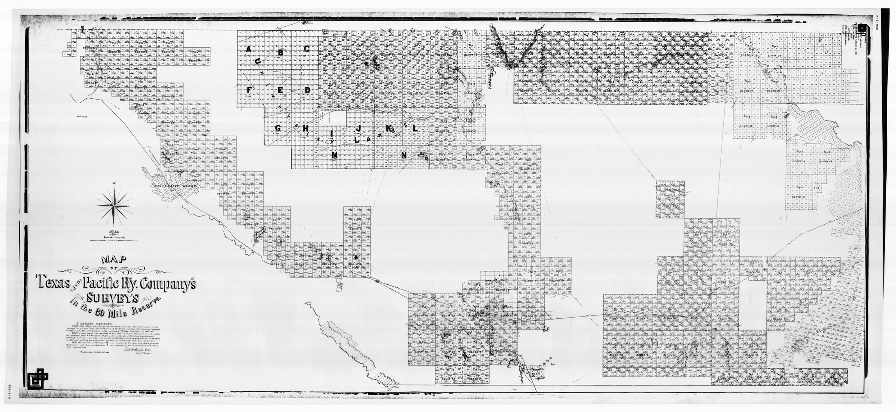
Map of Texas and Pacific Ry. Company's Surveys in the 80 Mile Reserve
N-2-65b; Z-1-14
-
Map/Doc
2241
-
Collection
General Map Collection
-
Object Dates
10/20/1885 (Creation Date)
-
People and Organizations
Paul McCombs (Surveyor/Engineer)
-
Counties
Reeves Presidio
-
Subjects
Texas and Pacific Railroad
-
Medium
mylar, print
-
Scale
1" = 4000 varas
Part of: General Map Collection
Hemphill County Working Sketch 13

Print $20.00
- Digital $50.00
Hemphill County Working Sketch 13
1968
Size 26.2 x 24.0 inches
Map/Doc 66108
Harris County Boundary File 39 (11)

Print $8.00
- Digital $50.00
Harris County Boundary File 39 (11)
Size 12.8 x 8.0 inches
Map/Doc 54335
Hill County Boundary File 1

Print $20.00
- Digital $50.00
Hill County Boundary File 1
Size 12.8 x 8.3 inches
Map/Doc 54722
Sutton County Rolled Sketch 49

Print $20.00
- Digital $50.00
Sutton County Rolled Sketch 49
1947
Size 19.2 x 19.3 inches
Map/Doc 7890
Clay County Sketch File 27

Print $20.00
- Digital $50.00
Clay County Sketch File 27
1900
Size 18.8 x 16.5 inches
Map/Doc 11089
Reagan County Working Sketch 24

Print $20.00
- Digital $50.00
Reagan County Working Sketch 24
1958
Size 45.4 x 39.9 inches
Map/Doc 71866
Potter County Rolled Sketch 10

Print $20.00
- Digital $50.00
Potter County Rolled Sketch 10
1963
Size 31.8 x 43.3 inches
Map/Doc 7323
Fort Bend Co.

Print $20.00
- Digital $50.00
Fort Bend Co.
1931
Size 40.2 x 41.8 inches
Map/Doc 95500
Pecos County Working Sketch 91a

Print $40.00
- Digital $50.00
Pecos County Working Sketch 91a
1965
Size 78.9 x 32.5 inches
Map/Doc 71563
[Blocks 341, G-5, G-12, TCRRCo.]
![60298, [Blocks 341, G-5, G-12, TCRRCo.], General Map Collection](https://historictexasmaps.com/wmedia_w700/maps/60298-1.tif.jpg)
Print $20.00
- Digital $50.00
[Blocks 341, G-5, G-12, TCRRCo.]
1954
Size 15.1 x 26.1 inches
Map/Doc 60298
Harris County Boundary File 39 (16)

Print $6.00
- Digital $50.00
Harris County Boundary File 39 (16)
Size 10.0 x 8.0 inches
Map/Doc 54354
Kerr County Sketch File 1a

Print $8.00
- Digital $50.00
Kerr County Sketch File 1a
Size 6.0 x 8.3 inches
Map/Doc 28846
You may also like
Hidalgo County Sketch File 15

Print $12.00
- Digital $50.00
Hidalgo County Sketch File 15
1878
Size 10.1 x 7.9 inches
Map/Doc 26431


Carte du Mexique et de la Floride des Terres Angloises et des Isles Antilles du cours et des environs de la Riviere de Mississipi

Print $20.00
- Digital $50.00
Carte du Mexique et de la Floride des Terres Angloises et des Isles Antilles du cours et des environs de la Riviere de Mississipi
1703
Size 19.0 x 25.8 inches
Map/Doc 96519
Pecos County Rolled Sketch 106

Print $40.00
- Digital $50.00
Pecos County Rolled Sketch 106
1940
Size 45.1 x 58.4 inches
Map/Doc 9718
![78444, [Webb County], General Map Collection](https://historictexasmaps.com/wmedia_w700/maps/78444.tif.jpg)
Flight Mission No. CGI-3N, Frame 67, Cameron County

Print $20.00
- Digital $50.00
Flight Mission No. CGI-3N, Frame 67, Cameron County
1954
Size 18.5 x 22.2 inches
Map/Doc 84561
Kerr County Boundary File 4b

Print $14.00
- Digital $50.00
Kerr County Boundary File 4b
Size 14.3 x 8.8 inches
Map/Doc 64809
Uvalde County Working Sketch 53

Print $20.00
- Digital $50.00
Uvalde County Working Sketch 53
1982
Size 30.4 x 43.0 inches
Map/Doc 72123
Reeves County Working Sketch 23

Print $40.00
- Digital $50.00
Reeves County Working Sketch 23
1966
Size 31.6 x 54.5 inches
Map/Doc 63466

Hays County Rolled Sketch 22

Print $20.00
- Digital $50.00
Hays County Rolled Sketch 22
1924
Size 19.4 x 20.6 inches
Map/Doc 6178