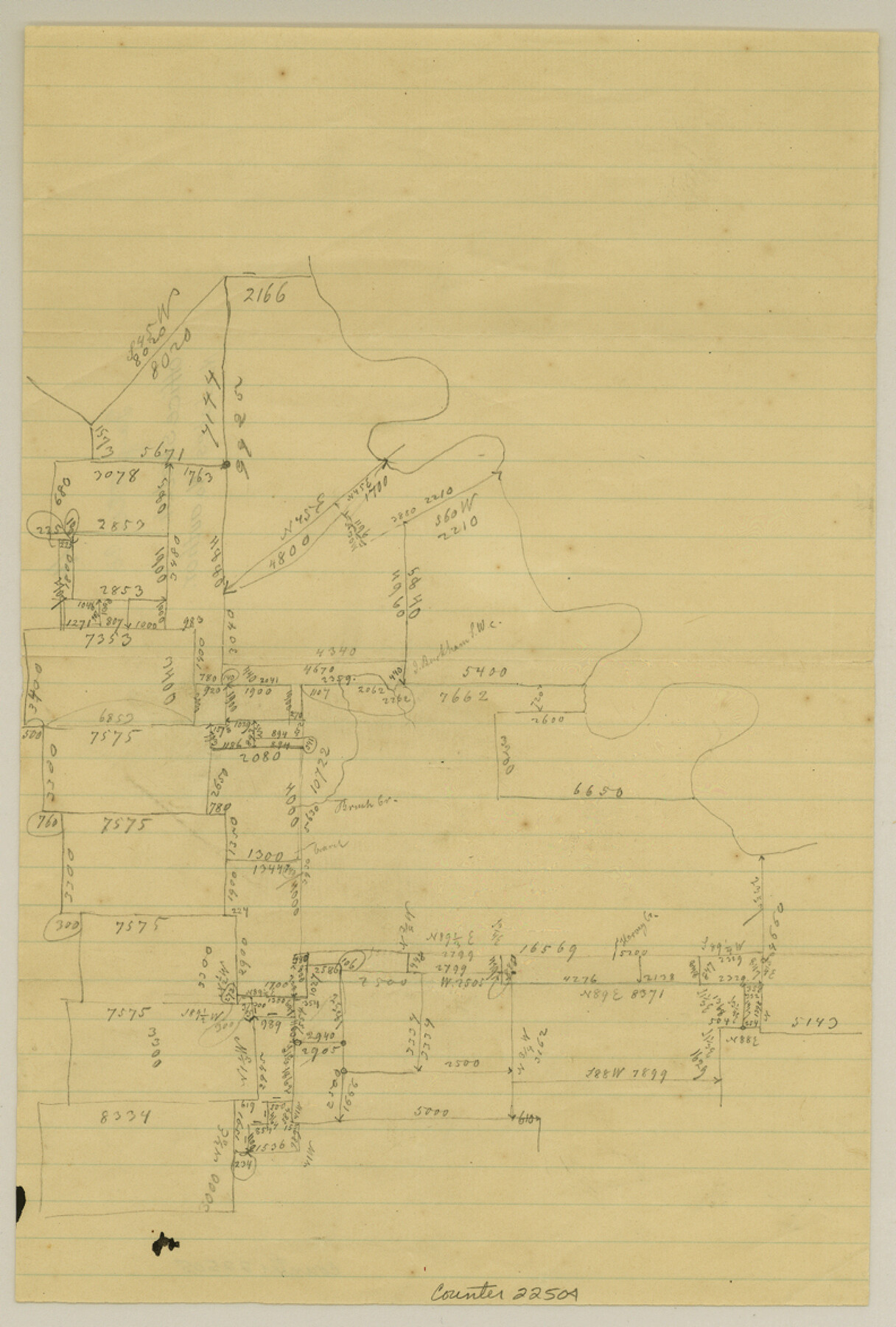
Fayette County Sketch File 4
[Office sketch]
-
Map/Doc
22504
-
Collection
General Map Collection
-
Counties
Fayette Colorado
-
Subjects
Surveying Sketch File
-
Height x Width
11.7 x 7.9 inches
29.7 x 20.1 cm
-
Medium
paper, manuscript
Part of: General Map Collection
Map of Bastrop District

Print $20.00
- Digital $50.00
Map of Bastrop District
1847
Size 22.9 x 28.3 inches
Map/Doc 3275
Kendall County Sketch File 5

Print $4.00
- Digital $50.00
Kendall County Sketch File 5
1854
Size 8.7 x 7.6 inches
Map/Doc 28686
Flight Mission No. DQN-2K, Frame 29, Calhoun County

Print $20.00
- Digital $50.00
Flight Mission No. DQN-2K, Frame 29, Calhoun County
1953
Size 18.7 x 22.3 inches
Map/Doc 84236
Flight Mission No. CUG-1P, Frame 69, Kleberg County

Print $20.00
- Digital $50.00
Flight Mission No. CUG-1P, Frame 69, Kleberg County
1956
Size 18.6 x 22.3 inches
Map/Doc 86134
Sulphur River, Terry Lake Sheet

Print $20.00
- Digital $50.00
Sulphur River, Terry Lake Sheet
1919
Size 28.6 x 30.9 inches
Map/Doc 65161
Flight Mission No. BRA-16M, Frame 127, Jefferson County

Print $20.00
- Digital $50.00
Flight Mission No. BRA-16M, Frame 127, Jefferson County
1953
Size 18.6 x 22.6 inches
Map/Doc 85737
Potter County Boundary File 5b

Print $22.00
- Digital $50.00
Potter County Boundary File 5b
Size 4.1 x 4.9 inches
Map/Doc 58025
Gillespie County Sketch File 10

Print $4.00
- Digital $50.00
Gillespie County Sketch File 10
1877
Size 8.3 x 12.9 inches
Map/Doc 24147
Lampasas County Boundary File 2

Print $4.00
- Digital $50.00
Lampasas County Boundary File 2
Size 13.8 x 8.8 inches
Map/Doc 56095
Kenedy County Rolled Sketch 18

Print $20.00
- Digital $50.00
Kenedy County Rolled Sketch 18
1995
Size 29.5 x 39.2 inches
Map/Doc 6472
Nacogdoches County Working Sketch 8

Print $20.00
- Digital $50.00
Nacogdoches County Working Sketch 8
1964
Size 28.0 x 22.7 inches
Map/Doc 71224
Baylor County Sketch File A7

Print $6.00
- Digital $50.00
Baylor County Sketch File A7
1899
Size 9.1 x 14.6 inches
Map/Doc 14091
You may also like
Crane County Working Sketch 13

Print $20.00
- Digital $50.00
Crane County Working Sketch 13
1944
Size 23.4 x 17.6 inches
Map/Doc 68290
Galveston County Sketch File 7

Print $20.00
- Digital $50.00
Galveston County Sketch File 7
1859
Size 12.8 x 17.0 inches
Map/Doc 23364
Bee County Sketch File 6

Print $6.00
- Digital $50.00
Bee County Sketch File 6
1860
Size 12.3 x 7.7 inches
Map/Doc 14272
Montgomery County Boundary File 1

Print $4.00
- Digital $50.00
Montgomery County Boundary File 1
Size 5.8 x 5.5 inches
Map/Doc 57446
Map of Irion County

Print $20.00
- Digital $50.00
Map of Irion County
1893
Size 43.6 x 37.3 inches
Map/Doc 16857
Flight Mission No. BQY-4M, Frame 68, Harris County

Print $20.00
- Digital $50.00
Flight Mission No. BQY-4M, Frame 68, Harris County
1953
Size 18.6 x 22.4 inches
Map/Doc 85277
Howard County Sketch File 15

Print $6.00
- Digital $50.00
Howard County Sketch File 15
Size 11.2 x 8.8 inches
Map/Doc 26875
Brewster County Sketch File FN-34

Print $40.00
- Digital $50.00
Brewster County Sketch File FN-34
1943
Size 23.1 x 27.1 inches
Map/Doc 10984
Pecos County Rolled Sketch 121

Print $20.00
- Digital $50.00
Pecos County Rolled Sketch 121
Size 21.8 x 23.4 inches
Map/Doc 7262
El Paso County Working Sketch 2

Print $20.00
- Digital $50.00
El Paso County Working Sketch 2
1913
Size 15.5 x 25.0 inches
Map/Doc 69024
El Paso County Sketch File 22

Print $22.00
- Digital $50.00
El Paso County Sketch File 22
1888
Size 14.2 x 9.0 inches
Map/Doc 22031
Sabine County

Print $20.00
- Digital $50.00
Sabine County
1920
Size 44.6 x 35.1 inches
Map/Doc 16805