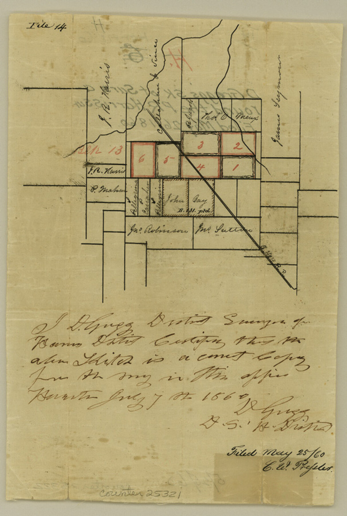
Harris County Sketch File H
[Sketch of surveys around the J.R. Harris survey]
-
Map/Doc
25321
-
Collection
General Map Collection
-
Object Dates
1860/5/26 (File Date)
1860/7/7 (Creation Date)
-
People and Organizations
D. Gregg (Surveyor/Engineer)
-
Counties
Harris
-
Subjects
Surveying Sketch File
-
Height x Width
8.2 x 5.5 inches
20.8 x 14.0 cm
-
Medium
paper, manuscript
Part of: General Map Collection
Hood County Sketch File 23

Print $20.00
- Digital $50.00
Hood County Sketch File 23
Size 24.5 x 18.6 inches
Map/Doc 11780
Topographical Map of the Rio Grande from Roma to the Gulf of Mexico, Index Map, Sheet No. 2

Print $20.00
- Digital $50.00
Topographical Map of the Rio Grande from Roma to the Gulf of Mexico, Index Map, Sheet No. 2
1912
Map/Doc 89524
Bowie County Working Sketch 28

Print $20.00
- Digital $50.00
Bowie County Working Sketch 28
1988
Size 35.1 x 41.5 inches
Map/Doc 67432
Haskell County Working Sketch 5

Print $20.00
- Digital $50.00
Haskell County Working Sketch 5
1945
Size 22.2 x 37.2 inches
Map/Doc 66063
Map of the Fort Worth & Denver City Railway, Hartley County, Texas

Print $40.00
- Digital $50.00
Map of the Fort Worth & Denver City Railway, Hartley County, Texas
1887
Size 21.9 x 89.8 inches
Map/Doc 64390
Flight Mission No. BRE-3P, Frame 80, Nueces County

Print $20.00
- Digital $50.00
Flight Mission No. BRE-3P, Frame 80, Nueces County
1956
Size 18.7 x 22.6 inches
Map/Doc 86821
Flight Mission No. DIX-7P, Frame 14, Aransas County

Print $20.00
- Digital $50.00
Flight Mission No. DIX-7P, Frame 14, Aransas County
1956
Size 18.8 x 22.6 inches
Map/Doc 83866
Texas Panhandle East Boundary Line

Print $40.00
- Digital $50.00
Texas Panhandle East Boundary Line
Size 66.1 x 9.3 inches
Map/Doc 65380
Flight Mission No. CUG-1P, Frame 84, Kleberg County

Print $20.00
- Digital $50.00
Flight Mission No. CUG-1P, Frame 84, Kleberg County
1956
Size 18.4 x 22.3 inches
Map/Doc 86149
Lines of Equal Magnetic Declination and of Equal Annual Change in the United States for 1930

Print $20.00
- Digital $50.00
Lines of Equal Magnetic Declination and of Equal Annual Change in the United States for 1930
1930
Size 23.5 x 29.7 inches
Map/Doc 69652
Flight Mission No. DIX-10P, Frame 177, Aransas County

Print $20.00
- Digital $50.00
Flight Mission No. DIX-10P, Frame 177, Aransas County
1956
Size 18.6 x 22.3 inches
Map/Doc 83967
Runnels County Rolled Sketch 28

Print $20.00
- Digital $50.00
Runnels County Rolled Sketch 28
1928
Size 19.8 x 39.4 inches
Map/Doc 7516
You may also like
[I. G. Yates survey and adjacent area south of Runnels County School Land]
![91679, [I. G. Yates survey and adjacent area south of Runnels County School Land], Twichell Survey Records](https://historictexasmaps.com/wmedia_w700/maps/91679-1.tif.jpg)
Print $20.00
- Digital $50.00
[I. G. Yates survey and adjacent area south of Runnels County School Land]
Size 15.1 x 14.5 inches
Map/Doc 91679
Orange County Sketch File 42

Print $40.00
- Digital $50.00
Orange County Sketch File 42
1873
Size 12.8 x 15.8 inches
Map/Doc 33383
Flight Mission No. BRA-8M, Frame 148, Jefferson County

Print $20.00
- Digital $50.00
Flight Mission No. BRA-8M, Frame 148, Jefferson County
1953
Size 18.8 x 22.5 inches
Map/Doc 85640
Scurry County Working Sketch 2

Print $3.00
- Digital $50.00
Scurry County Working Sketch 2
1934
Size 16.2 x 10.2 inches
Map/Doc 63831
Colorado County Working Sketch 24

Print $20.00
- Digital $50.00
Colorado County Working Sketch 24
1970
Size 37.0 x 42.0 inches
Map/Doc 68124
[SE Pt. of Stephens County]
![89639, [SE Pt. of Stephens County], Twichell Survey Records](https://historictexasmaps.com/wmedia_w700/maps/89639-1.tif.jpg)
Print $20.00
- Digital $50.00
[SE Pt. of Stephens County]
Size 38.1 x 35.9 inches
Map/Doc 89639
Stonewall County Rolled Sketch 20

Print $40.00
- Digital $50.00
Stonewall County Rolled Sketch 20
1951
Size 30.1 x 55.4 inches
Map/Doc 63915
Presidio County Sketch File 19

Print $16.00
- Digital $50.00
Presidio County Sketch File 19
1885
Size 14.2 x 8.9 inches
Map/Doc 34444
Fisher County Sketch File 13

Print $20.00
- Digital $50.00
Fisher County Sketch File 13
Size 18.3 x 17.7 inches
Map/Doc 11480
Jefferson County Working Sketch 22

Print $20.00
- Digital $50.00
Jefferson County Working Sketch 22
1969
Size 22.2 x 38.0 inches
Map/Doc 66565
[H. & T. C. Blocks 25 and 26]
![92025, [H. & T. C. Blocks 25 and 26], Twichell Survey Records](https://historictexasmaps.com/wmedia_w700/maps/92025-1.tif.jpg)
Print $20.00
- Digital $50.00
[H. & T. C. Blocks 25 and 26]
1873
Size 42.2 x 33.9 inches
Map/Doc 92025
Kerr County Rolled Sketch 24

Print $20.00
- Digital $50.00
Kerr County Rolled Sketch 24
Size 25.1 x 31.4 inches
Map/Doc 6504