Harris County Sketch File 103
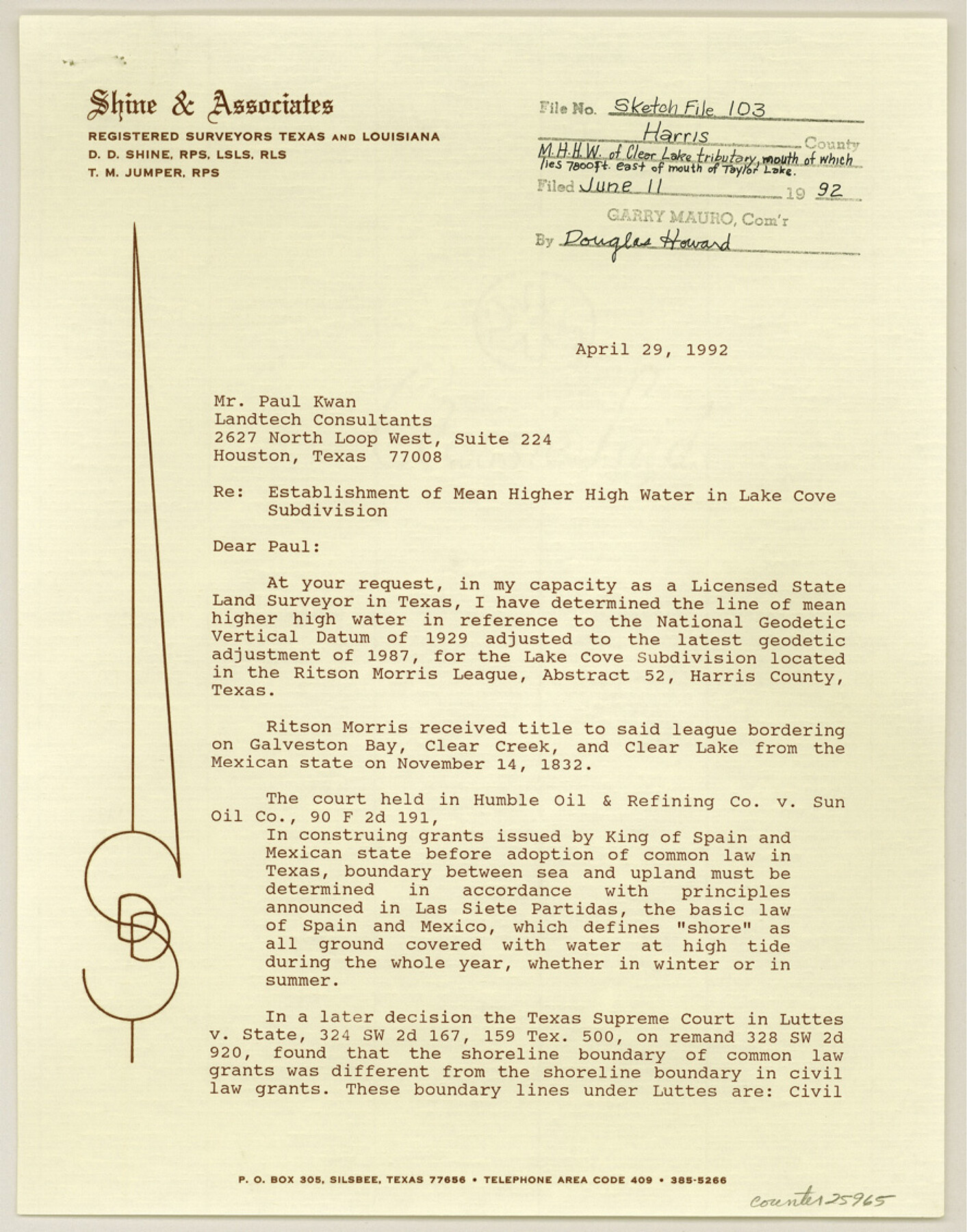
[Report of survey of the mean higher high water of an estuary of Clear Lake within Lake Cove Subdivision in the Morris Ritson survey, A-52, City of Seabrook]
-
Map/Doc
25965
-
Collection
General Map Collection
-
Object Dates
1992 (Creation Date)
1992/6/11 (File Date)
1992/4/29 (Correspondence Date)
-
People and Organizations
D.D Shine (Surveyor/Engineer)
Paul Kwan (Surveyor/Engineer)
-
Counties
Harris
-
Subjects
Surveying Sketch File
-
Height x Width
11.3 x 8.9 inches
28.7 x 22.6 cm
-
Medium
multi-page, multi-format
-
Comments
See Harris County Rolled Sketch 98 (6136) for sketch.
-
Features
Repsdorph Road
Jennings Island
Clear Creek Road
Kemah
Pirate Island
2nd Street
Pine Gully Road
Red Bluff Road
Friendship Park
White School
T&NO
Lake Cove Subdivision
Seabrook
Nasa Road One
State Highway 146
Harris County Park
Pier 21
Galveston
Clear Lake
Clear Creek
Galveston Bay
Related maps
Harris County Rolled Sketch 98

Print $20.00
- Digital $50.00
Harris County Rolled Sketch 98
1992
Size 27.1 x 39.5 inches
Map/Doc 6136
Part of: General Map Collection
Edwards County Sketch File 37

Print $4.00
- Digital $50.00
Edwards County Sketch File 37
1926
Size 11.3 x 9.0 inches
Map/Doc 21771
International Railroad Map & Profile of the Second Fifty Miles East of Brazos River

Print $40.00
- Digital $50.00
International Railroad Map & Profile of the Second Fifty Miles East of Brazos River
1877
Size 19.8 x 76.6 inches
Map/Doc 64465
Val Verde County Sketch File Z11

Print $40.00
- Digital $50.00
Val Verde County Sketch File Z11
1895
Size 17.6 x 12.7 inches
Map/Doc 39138
Coast Chart No. 210 - Aransas Pass and Corpus Christi Bay with the coast to latitude 27° 12', Texas

Print $20.00
- Digital $50.00
Coast Chart No. 210 - Aransas Pass and Corpus Christi Bay with the coast to latitude 27° 12', Texas
1907
Size 15.4 x 23.5 inches
Map/Doc 73451
Gaines County Sketch File 12

Print $4.00
- Digital $50.00
Gaines County Sketch File 12
1950
Size 14.3 x 8.8 inches
Map/Doc 23198
Dawson County Sketch File 10

Print $4.00
- Digital $50.00
Dawson County Sketch File 10
1927
Size 11.4 x 8.8 inches
Map/Doc 20544
Galveston County Sketch File 34

Print $20.00
- Digital $50.00
Galveston County Sketch File 34
1934
Size 11.5 x 20.1 inches
Map/Doc 11536
[Surveys along the Brazos River]
![71, [Surveys along the Brazos River], General Map Collection](https://historictexasmaps.com/wmedia_w700/maps/71.tif.jpg)
Print $3.00
- Digital $50.00
[Surveys along the Brazos River]
1840
Size 16.2 x 9.4 inches
Map/Doc 71
El Paso County Rolled Sketch 43B

Print $20.00
- Digital $50.00
El Paso County Rolled Sketch 43B
Size 22.0 x 22.0 inches
Map/Doc 5830
Ennis, Ellis County, Texas

Print $20.00
- Digital $50.00
Ennis, Ellis County, Texas
1934
Size 34.6 x 22.9 inches
Map/Doc 4826
Harris County Rolled Sketch 69

Print $40.00
- Digital $50.00
Harris County Rolled Sketch 69
1941
Size 37.0 x 58.5 inches
Map/Doc 9131

You may also like
Travis County Sketch File ABC

Print $20.00
- Digital $50.00
Travis County Sketch File ABC
Size 23.8 x 19.0 inches
Map/Doc 12480
Travis County Working Sketch 63

Print $20.00
- Digital $50.00
Travis County Working Sketch 63
1998
Size 24.0 x 29.5 inches
Map/Doc 69447
Secs. 58-69, I&GN Blk. 1

Print $20.00
- Digital $50.00
Secs. 58-69, I&GN Blk. 1
Size 27.5 x 25.3 inches
Map/Doc 91617
Plan of the town of Austin

Print $20.00
- Digital $50.00
Plan of the town of Austin
Size 18.4 x 13.0 inches
Map/Doc 94117
[H. & G. N. Block 28]
![90344, [H. & G. N. Block 28], Twichell Survey Records](https://historictexasmaps.com/wmedia_w700/maps/90344-1.tif.jpg)
Print $20.00
- Digital $50.00
[H. & G. N. Block 28]
Size 25.1 x 31.2 inches
Map/Doc 90344

Flight Mission No. BRA-16M, Frame 54, Jefferson County

Print $20.00
- Digital $50.00
Flight Mission No. BRA-16M, Frame 54, Jefferson County
1953
Size 18.5 x 22.5 inches
Map/Doc 85671
General Highway Map, Bexar County, Texas

Print $20.00
General Highway Map, Bexar County, Texas
1940
Size 18.3 x 25.1 inches
Map/Doc 79017
From Citizens Living in Washington County for the Creation of a New County to be Called Washington, Undated

Print $20.00
From Citizens Living in Washington County for the Creation of a New County to be Called Washington, Undated
2020
Size 17.0 x 21.7 inches
Map/Doc 96406
[Peter's Colony surveys in Stephens County]
![75986, [Peter's Colony surveys in Stephens County], General Map Collection](https://historictexasmaps.com/wmedia_w700/maps/75986.tif.jpg)
Print $20.00
- Digital $50.00
[Peter's Colony surveys in Stephens County]
Size 25.3 x 21.1 inches
Map/Doc 75986
United States - Gulf Coast Texas - Northern part of Laguna Madre

Print $20.00
- Digital $50.00
United States - Gulf Coast Texas - Northern part of Laguna Madre
1941
Size 26.9 x 18.3 inches
Map/Doc 72938
Real County Working Sketch 6

Print $20.00
- Digital $50.00
Real County Working Sketch 6
1924
Size 21.2 x 9.3 inches
Map/Doc 71898