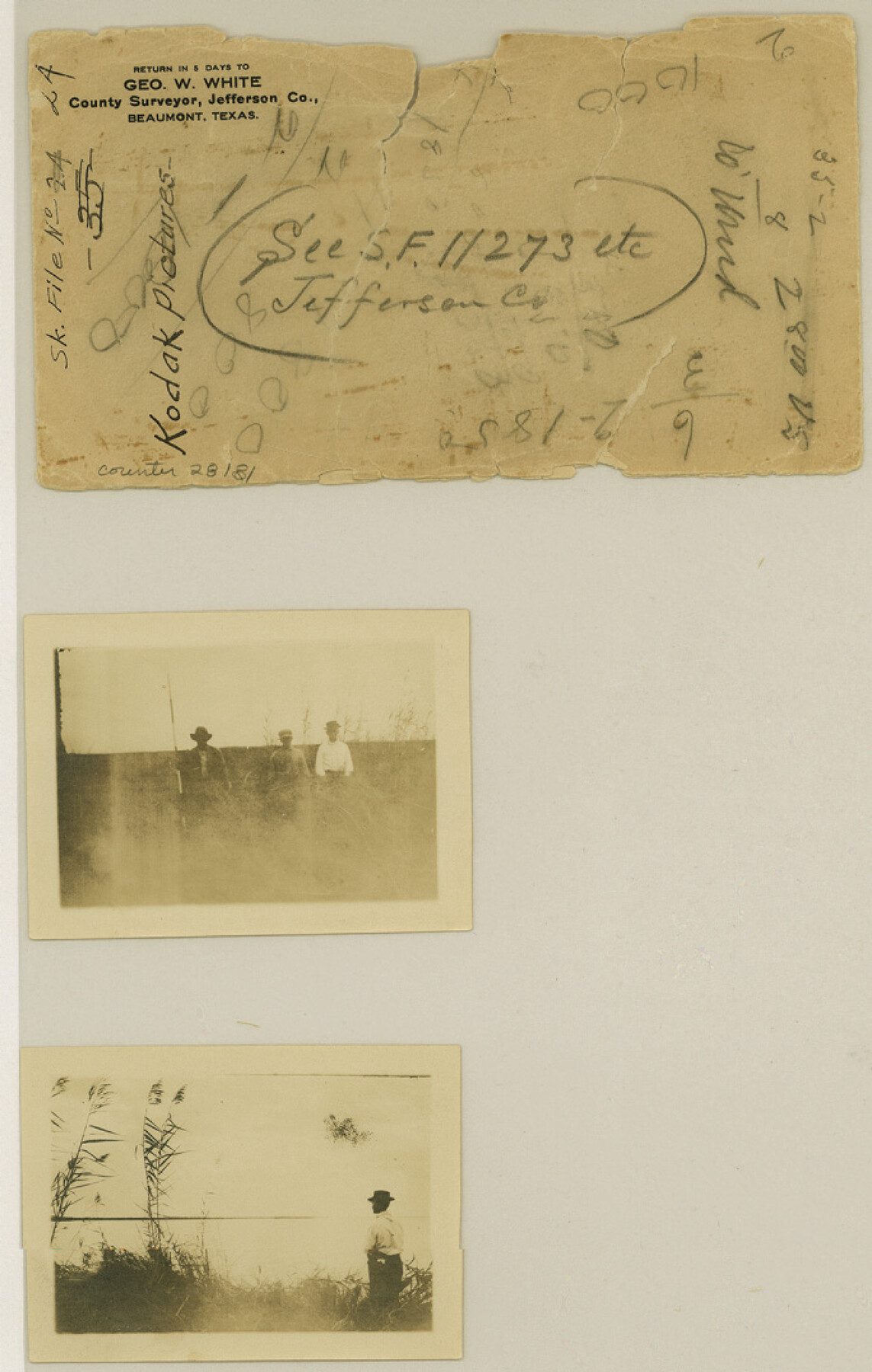
Jefferson County Sketch File 24
[Photographs of surveying]
-
Map/Doc
28181
-
Collection
General Map Collection
-
Counties
Jefferson
-
Subjects
Surveying Sketch File
-
Height x Width
10.8 x 6.8 inches
27.4 x 17.3 cm
-
Medium
photograph
Part of: General Map Collection
Galveston County Sketch File 47

Print $14.00
- Digital $50.00
Galveston County Sketch File 47
1976
Size 11.3 x 8.9 inches
Map/Doc 23454
Map Shelby County

Print $20.00
- Digital $50.00
Map Shelby County
1852
Size 20.1 x 31.5 inches
Map/Doc 4029
Reagan County Rolled Sketch 29

Print $20.00
- Digital $50.00
Reagan County Rolled Sketch 29
1954
Size 35.6 x 35.4 inches
Map/Doc 9824
Tom Green County Sketch File 1

Print $4.00
- Digital $50.00
Tom Green County Sketch File 1
Size 8.1 x 12.7 inches
Map/Doc 38159
Nueces County NRC Article 33.136 Sketch 20

Print $36.00
- Digital $50.00
Nueces County NRC Article 33.136 Sketch 20
2021
Map/Doc 96887
Map of Presidio County, Texas

Print $40.00
- Digital $50.00
Map of Presidio County, Texas
Size 42.7 x 82.1 inches
Map/Doc 82050
Outer Continental Shelf Leasing Maps (Texas Offshore Operations)

Print $20.00
- Digital $50.00
Outer Continental Shelf Leasing Maps (Texas Offshore Operations)
1954
Size 11.6 x 12.3 inches
Map/Doc 75835

Sabine County Working Sketch 11

Print $20.00
- Digital $50.00
Sabine County Working Sketch 11
1931
Size 30.9 x 34.0 inches
Map/Doc 63682
Crane County Rolled Sketch 4

Print $40.00
- Digital $50.00
Crane County Rolled Sketch 4
Size 34.7 x 51.9 inches
Map/Doc 8337
Presidio County Rolled Sketch 6

Print $20.00
- Digital $50.00
Presidio County Rolled Sketch 6
Size 33.0 x 20.6 inches
Map/Doc 7330
Flight Mission No. CLL-3N, Frame 37, Willacy County

Print $20.00
- Digital $50.00
Flight Mission No. CLL-3N, Frame 37, Willacy County
1954
Size 18.6 x 22.2 inches
Map/Doc 87095
You may also like
Working Sketch Armstrong County

Print $20.00
- Digital $50.00
Working Sketch Armstrong County
1909
Size 32.0 x 23.8 inches
Map/Doc 90264
Orange County NRC Article 33.136 Sketch 5

Print $62.00
- Digital $50.00
Orange County NRC Article 33.136 Sketch 5
2014
Size 26.1 x 22.7 inches
Map/Doc 94946
Tom Green County

Print $20.00
- Digital $50.00
Tom Green County
1873
Size 22.4 x 36.9 inches
Map/Doc 1551
Hardeman County Sketch File 10

Print $4.00
- Digital $50.00
Hardeman County Sketch File 10
1884
Size 13.2 x 8.3 inches
Map/Doc 25006
Kimble County Rolled Sketch 34

Print $20.00
- Digital $50.00
Kimble County Rolled Sketch 34
1976
Size 35.0 x 20.2 inches
Map/Doc 6524
Nueces County Rolled Sketch 106

Print $104.00
Nueces County Rolled Sketch 106
1986
Size 18.2 x 24.6 inches
Map/Doc 7097
Texas Coast Showing Points of Occupation of Expedition Under Maj. Gen. N.P. Banks, Novr. 1863

Print $20.00
Texas Coast Showing Points of Occupation of Expedition Under Maj. Gen. N.P. Banks, Novr. 1863
1863
Size 16.0 x 17.1 inches
Map/Doc 88593
Padre Island National Seashore, Texas - Dependent Resurvey

Print $4.00
- Digital $50.00
Padre Island National Seashore, Texas - Dependent Resurvey
2001
Size 18.2 x 24.3 inches
Map/Doc 60552
Hudspeth County Sketch File 33

Print $6.00
- Digital $50.00
Hudspeth County Sketch File 33
1952
Size 11.3 x 8.8 inches
Map/Doc 26994
Reeves County Working Sketch 62

Print $20.00
- Digital $50.00
Reeves County Working Sketch 62
1984
Size 29.5 x 35.4 inches
Map/Doc 63505
Blanco County Sketch File 12

Print $20.00
- Digital $50.00
Blanco County Sketch File 12
Size 15.0 x 19.8 inches
Map/Doc 10928
Segunda parte del Mapa, que comprende la Frontera, de los Dominios del Rey, en la America Septentrional

Print $40.00
- Digital $50.00
Segunda parte del Mapa, que comprende la Frontera, de los Dominios del Rey, en la America Septentrional
1769
Size 26.7 x 63.8 inches
Map/Doc 4667