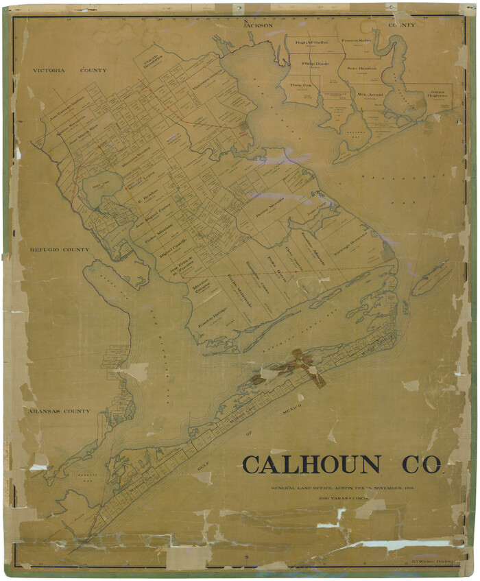
[Sketch for Mineral Application 26501 - Sabine River, T. A. Oldhausen]
K-1-26
-
Map/Doc
2840
-
Collection
General Map Collection
-
Object Dates
1931 (Creation Date)
-
People and Organizations
W.E. Jones (Surveyor/Engineer)
-
Counties
Gregg
-
Subjects
Energy Offshore Submerged Area
-
Height x Width
24.3 x 35.5 inches
61.7 x 90.2 cm
Part of: General Map Collection
Archer County Sketch File 3


Print $4.00
- Digital $50.00
Archer County Sketch File 3
Size 7.5 x 8.5 inches
Map/Doc 13628
Denton County Sketch File 5
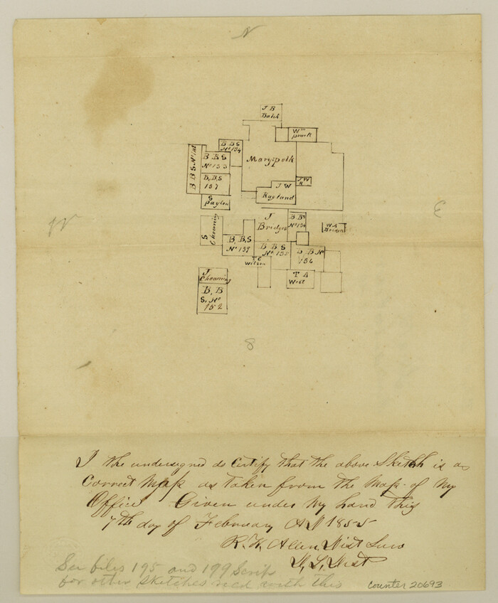

Print $6.00
- Digital $50.00
Denton County Sketch File 5
1855
Size 9.8 x 8.1 inches
Map/Doc 20693
Limestone County Sketch File 14


Print $4.00
- Digital $50.00
Limestone County Sketch File 14
1883
Size 10.7 x 8.2 inches
Map/Doc 30179
Brewster County Working Sketch 88
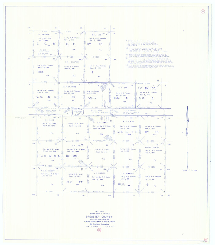

Print $20.00
- Digital $50.00
Brewster County Working Sketch 88
1973
Size 45.2 x 39.6 inches
Map/Doc 67688
Texas-United States Boundary Line 2

Print $22.00
- Digital $50.00
Texas-United States Boundary Line 2
1882
Size 8.3 x 7.3 inches
Map/Doc 74976
Schleicher County Sketch File 47
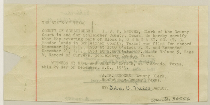

Print $4.00
- Digital $50.00
Schleicher County Sketch File 47
1953
Size 4.4 x 8.7 inches
Map/Doc 36556
Galveston County Sketch File 25
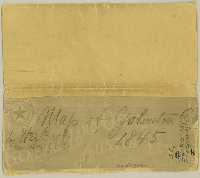

Print $2.00
- Digital $50.00
Galveston County Sketch File 25
1845
Size 8.1 x 9.1 inches
Map/Doc 23396
Winkler County Sketch File 5
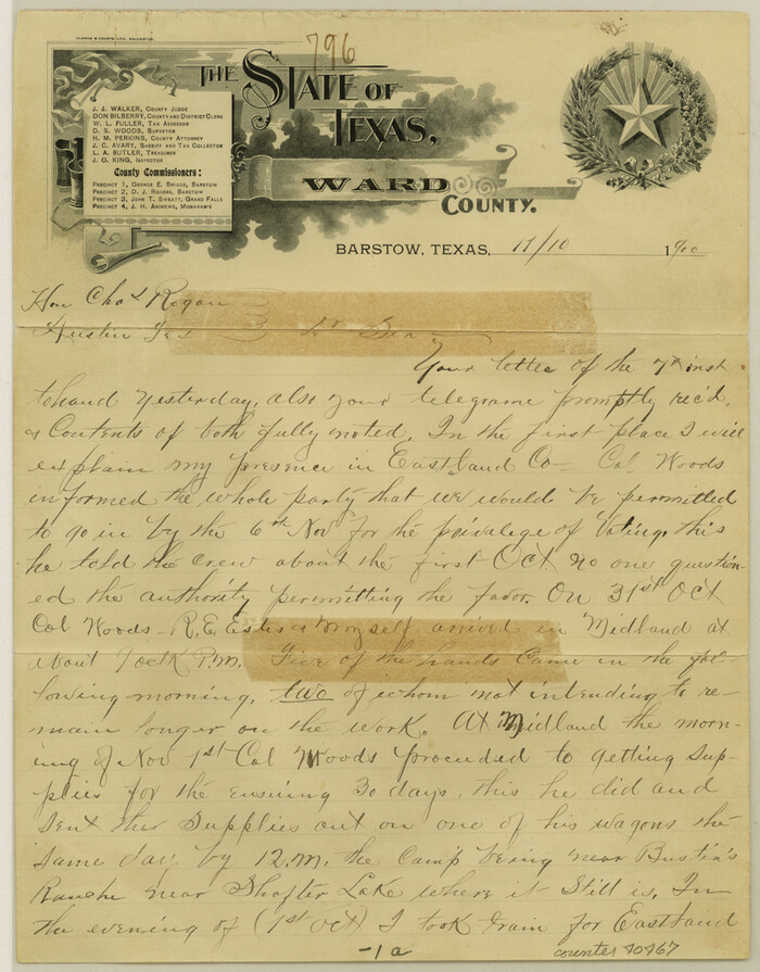

Print $16.00
- Digital $50.00
Winkler County Sketch File 5
1900
Size 11.2 x 8.7 inches
Map/Doc 40467
United States - Gulf Coast Texas - Southern part of Laguna Madre
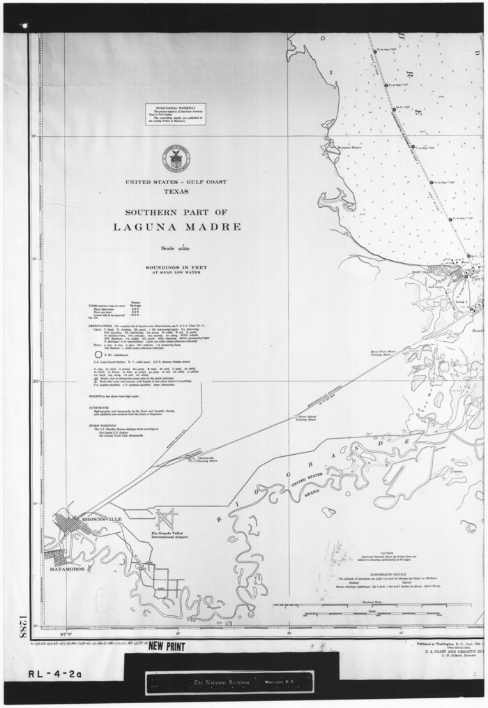

Print $20.00
- Digital $50.00
United States - Gulf Coast Texas - Southern part of Laguna Madre
1941
Size 26.4 x 18.2 inches
Map/Doc 72939
Potter County Boundary File 3b
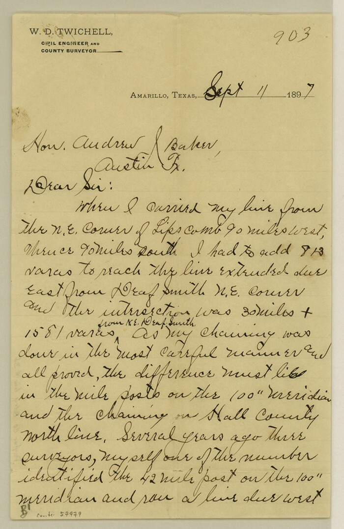

Print $12.00
- Digital $50.00
Potter County Boundary File 3b
Size 9.8 x 6.4 inches
Map/Doc 57979
Nolan County Working Sketch 3
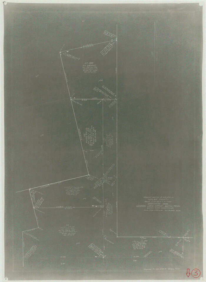

Print $20.00
- Digital $50.00
Nolan County Working Sketch 3
1947
Size 23.5 x 17.2 inches
Map/Doc 71294
You may also like
University of Texas System University Lands


Print $20.00
- Digital $50.00
University of Texas System University Lands
Size 17.7 x 23.2 inches
Map/Doc 93242
Kent County Working Sketch 21
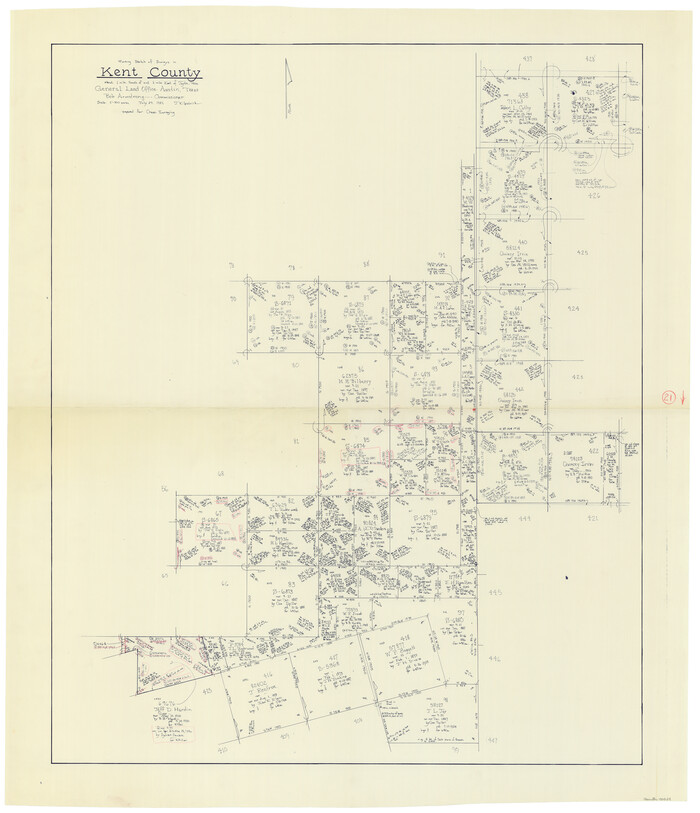

Print $20.00
- Digital $50.00
Kent County Working Sketch 21
1981
Size 43.5 x 37.5 inches
Map/Doc 70028
Bosque County Working Sketch 21
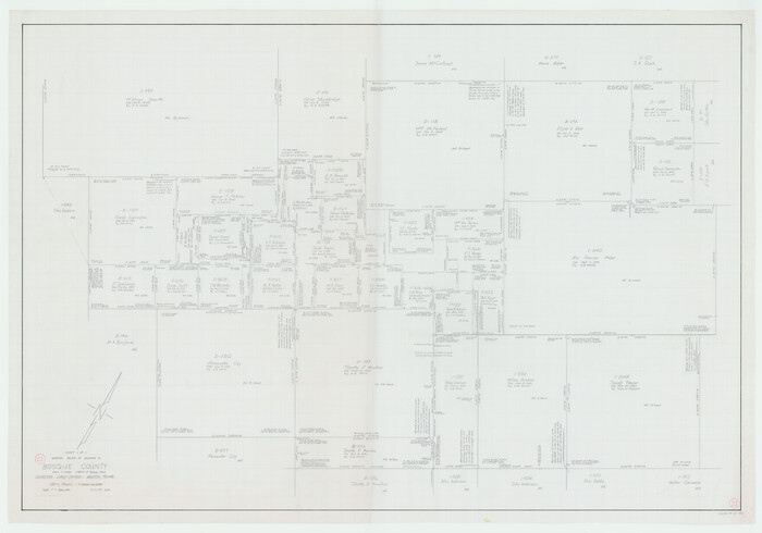

Print $40.00
- Digital $50.00
Bosque County Working Sketch 21
1984
Size 38.5 x 55.1 inches
Map/Doc 67454
Edwards County Working Sketch 46
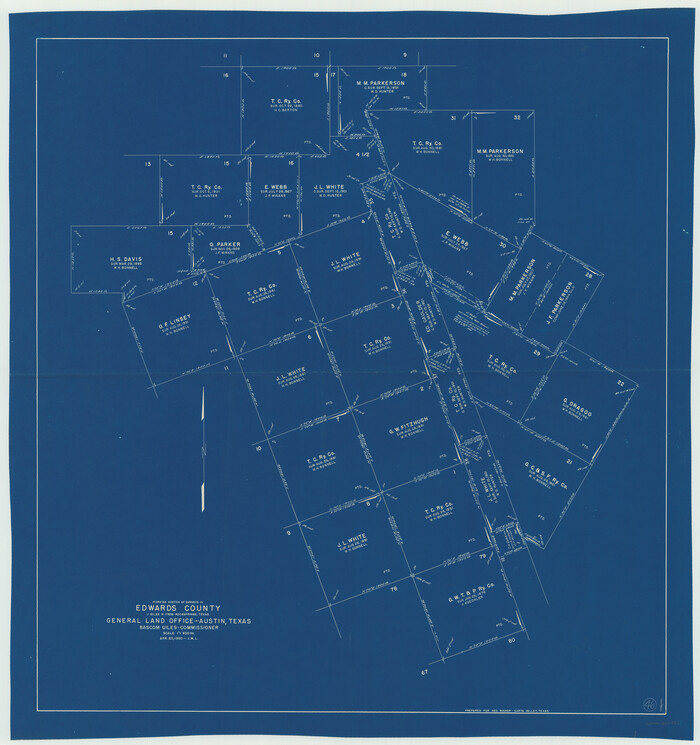

Print $20.00
- Digital $50.00
Edwards County Working Sketch 46
1950
Size 39.8 x 37.4 inches
Map/Doc 68922
General Highway Map, Liberty County, Texas


Print $20.00
General Highway Map, Liberty County, Texas
1961
Size 18.1 x 24.6 inches
Map/Doc 79571
[Sketch showing voting precincts in Jim Hogg and Brooks Counties]
![4497, [Sketch showing voting precincts in Jim Hogg and Brooks Counties], Maddox Collection](https://historictexasmaps.com/wmedia_w700/maps/4497-1.tif.jpg)
![4497, [Sketch showing voting precincts in Jim Hogg and Brooks Counties], Maddox Collection](https://historictexasmaps.com/wmedia_w700/maps/4497-1.tif.jpg)
Print $20.00
- Digital $50.00
[Sketch showing voting precincts in Jim Hogg and Brooks Counties]
Size 10.1 x 18.2 inches
Map/Doc 4497
J. B. McCauley Irrigated Farm SW Quarter Section 20, Block E
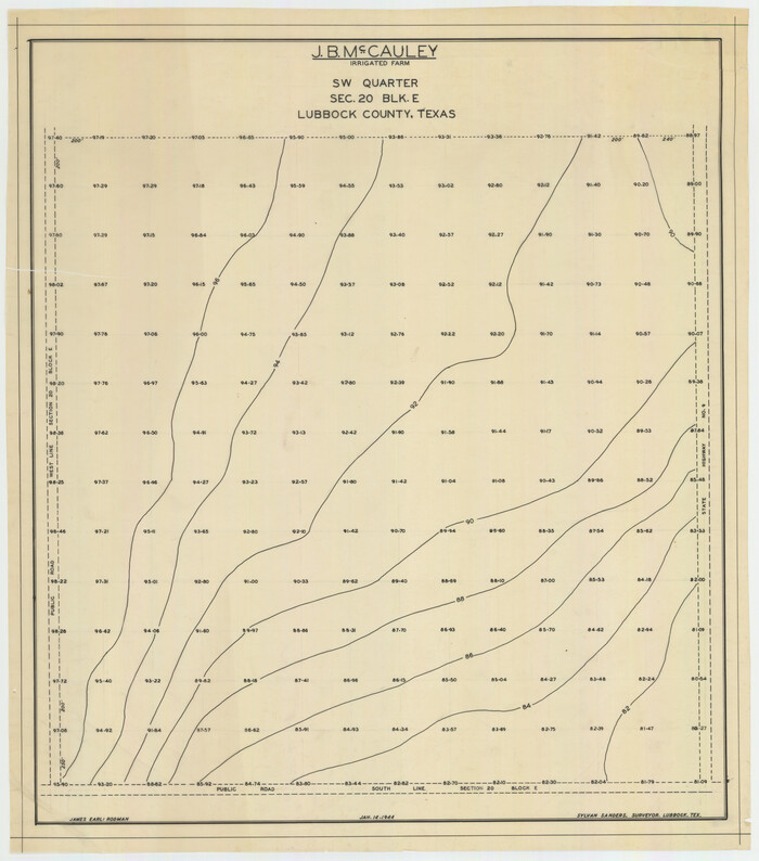

Print $20.00
- Digital $50.00
J. B. McCauley Irrigated Farm SW Quarter Section 20, Block E
1944
Size 20.7 x 23.5 inches
Map/Doc 92335
Hutchinson County Sketch File 1


Print $22.00
- Digital $50.00
Hutchinson County Sketch File 1
Size 8.9 x 7.8 inches
Map/Doc 27172
Sutton County Sketch File 45
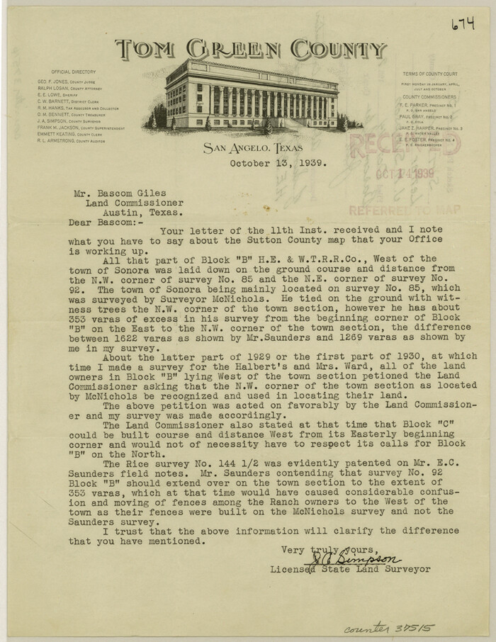

Print $4.00
- Digital $50.00
Sutton County Sketch File 45
1939
Size 11.2 x 8.6 inches
Map/Doc 37515
Taylor County Sketch File 3
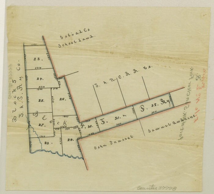

Print $4.00
- Digital $50.00
Taylor County Sketch File 3
Size 7.5 x 8.3 inches
Map/Doc 37778
![2840, [Sketch for Mineral Application 26501 - Sabine River, T. A. Oldhausen], General Map Collection](https://historictexasmaps.com/wmedia_w1800h1800/maps/2840.tif.jpg)

